7060 Airport Road
Malton, Mississauga, L4T 2G8
$1,499,000
Listed 77 days ago · MLS® W13633218
About this home
Sale of Live Work Retail Property with 3 furnished residential units [2 bedrooms (Kitchen,1 washroom) Apartment + 1 bedroom (kitchen, 1 washroom) Apartment on 2nd floor + 1 bedroom (kitchen, 1 washroom) apartment in the basement + RETAIL unit on main floor and part basement]. Freshly updated interiors of all the units in the property with ample natural light. Currently used as a Medical Spa & BeautyTraining Centre. Plaza has multiple permitted uses and ample parking. Main floor Approx 900 sq.ft + Second floor Approx 900 sq.ft + Additionally Approx 900 sq. ft finished Basement. Close to Major highways-407, 427, GO station Prime intersection - Derry/Airport. Perfect for Investors: Income generating Asset 2nd floor units: 2 bedroom+1 bedroom fully furnished currently operated as AIRbnb through property management company and generating $5000 per month; 1 Bedroom basement unit leased for $1200 per month + Retail unit has been leased for a term of 5 years for $5500 per month. CAP RATE Approx over 7.5%.
Details
- Type
- Commercial Retail
- Garage
- Outside/Surface
- Property tax
- $7,714 (2025)
- Neighbourhood
- Malton
- Municipality
- Mississauga
Heating, cooling and services
- Heating
- Gas Forced Air Open
- Air conditioning
- Yes
- Utilities
- Available
Building and exterior
- Building area
- 1,800 Square Feet
More
- Possession
- TBA
- Cross street
- Derry Rd E/Airport Rd
History of this address
7 earlier listings at this address, with sold and leased prices. Create a free account or sign in to see them.
Location
Location is approximate. See nearby homes on the map
Recent sales nearby
See what similar homes within 1 km sold for in the last year. Create a free account or sign in to see them.
The neighbourhood
Getting around Somewhat walkable
- 🚆 Viscount GO2.8 km
Within a 10-minute walk: no grocery stores, 11 cafés and restaurants, 5 parks, 1 pharmacy. Nearest park: Frank McKechnie Park (100 m).
Schools nearby
Elementary
- Ridgewood Public School
EQAO: Gr 3 reading 71%, math 58%1.2 km - Marvin Heights Public School
EQAO: Gr 3 reading 86%, math 81%1.4 km - Lancaster Public School
EQAO: Gr 3 reading 62%, math 44%1.6 km - St. Raphael School Catholic
EQAO: Gr 6 reading 83%, math 31%1.8 km
Secondary
- Morning Star Middle School18 min walk
- Ascension of Our Lord Secondary School Catholic
EQAO: Gr 9 math 40%, literacy test 69%2.1 km - Lincoln M. Alexander Secondary School
EQAO: Gr 9 math 37%, literacy test 80%2.2 km
EQAO: share of students meeting the provincial standard (2024–25). Ontario average: Gr 6 reading 86%, math 51%; Gr 9 math 55%; literacy test 83%.
Closest schools, not school zones. Check which school serves this address with the school board before relying on it.
Who lives here postal area L4T
- Owners / renters
- 60% / 40%
- Median household income
- $84,000
- Average age
- 38
- Children under 15
- 16%
- Homes
- 22% detached, 11% high-rise
- Commute by transit
- 21%
- Population
- 38,182
Languages spoken most at home besides English: Punjabi (Panjabi) 18.6%, Urdu 3%, Hindi 2.5%, Gujarati 2.4%.
Flood and conservation Regulated area
This address is inside a conservation-authority regulated area (Toronto and Region Conservation Authority): near a valley, stream, shoreline or wetland, where flooding or erosion can occur. New building, additions, pools or grading usually need a permit from the authority.
Screening maps only. Ask the conservation authority for a property inquiry before relying on this.
Safety
Crime Severity Index for Peel Region (Mississauga/Brampton) police: 59 vs 57 for Ontario (2025).
Police-reported figures for the whole police service area, not this street. Rates use the area’s resident population.
Development nearby 2 active
-
5, 7 and 9 Beverley Street · 450 mDevelopment application · In process · applied 2022Back-to-back townhouses (16 units) (16 homes)
-
7062 Airport Road · 150 mDevelopment application · In process · applied 2022Rezoning for a two-storey mixed use building
Rezoning, site plan, subdivision and condominium applications filed with the city.
Distances are approximate. Places © OpenStreetMap contributors. Neighbourhood figures: Statistics Canada, 2021 Census. School results: EQAO via Ontario Data Catalogue (Open Government Licence – Ontario). Flood and regulation mapping: Toronto and Region Conservation Authority open data. Crime Severity Index: Statistics Canada. Planning applications: City of Mississauga open data.
Living here
Commute
To Union Station (downtown Toronto): 22 km. Transit times · Driving times
Noise 1 source nearby
- 🚆 Rail line (Weston Subdivision)0 m
Distances from the map, not noise measurements. Visit at rush hour to judge for yourself.
Internet High-speed
50/10 Mbps or faster available here by cable, fibre or DSL (the federal high-speed target).
From the federal broadband map. Check exact speeds and providers for the address.
Roads, rail, airports and planned stations © OpenStreetMap contributors. Internet: Innovation, Science and Economic Development Canada, National Broadband Data.
Listed by RE/MAX OPTIMUM REALTY.
Listing information provided by PropTx Innovations Inc. and TRREB; deemed reliable but not guaranteed accurate by PropTx.
Similar homes nearby
See more in Mississauga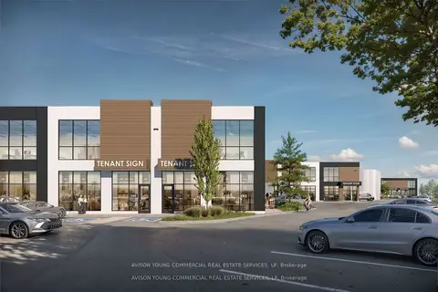
$1,494,790
1833 Buckhorn Gate B1 #5
Northeast, Mississauga
Industrial · MLS® W12478742 · AVISON YOUNG COMMERCIAL REAL ESTATE SERVICES, LP
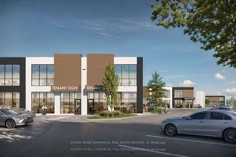
$1,494,790
1833 Buckhorn Gate B1 #6
Northeast, Mississauga
Industrial · MLS® W12478862 · AVISON YOUNG COMMERCIAL REAL ESTATE SERVICES, LP
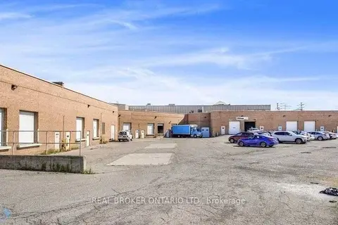
$1,479,000
6660 Kennedy Road 10
Gateway, Mississauga
Industrial · MLS® W13723990 · REAL BROKER ONTARIO LTD.
 New
$1,549,000
5484 Tomken Road 18
Northeast, Mississauga
Industrial · MLS® W14092580 · ROYAL LEPAGE REAL ESTATE SERVICES LTD.
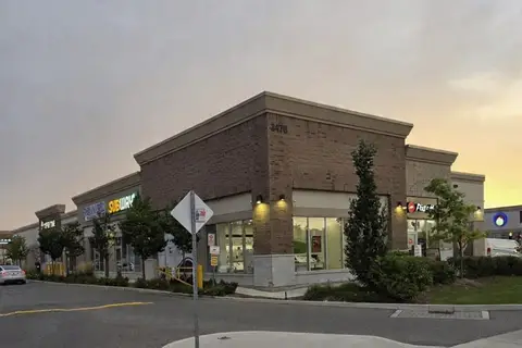
$1,439,000
3470 Platinum Drive 42
Churchill Meadows, Mississauga
Commercial Retail · MLS® W13826260 · CENTURY 21 PEOPLE`S CHOICE REALTY INC.
$1,429,418
3092 Mavis Road 45
Mavis-Erindale, Mississauga
Commercial Retail · MLS® W12554602 · CITYSCAPE REAL ESTATE LTD.
$1,429,000
6660 Kennedy Road 8
Gateway, Mississauga
Industrial · MLS® W13724010 · REAL BROKER ONTARIO LTD.
$1,574,844
1200 Aimco Boulevard 9
Northeast, Mississauga
Industrial · MLS® W13592984 · COLLIERS