3092 Mavis Road 45
Mavis-Erindale, Mississauga, L5C 1T8
$1,429,418
Listed 336 days ago · MLS® W12554602
About this home
Assignment Sale RESTAURANT & SHISHA LOUNGE Prime Commercial Condo in Mississauga: Located at 3092 Mavis Road in Mississauga prestigious and busy corridor this assignment sale offers an exceptional opportunity to acquire a brand-new commercial condominium. The ground-level unit boasts approximately 1,361.35 square feet of open-concept space, making it ideally suited for a RESTAURANT & SHISHA LOUNGE. Strategically positioned at the intersection of Mavis Road and Dundas Street, the property benefits from excellent visibility and convenience. It is surrounded by well-established residential subdivisions and is in close proximity to major destinations, including Square One Shopping Centre and the University of Toronto Mississauga. In addition, quick access to major highways such as the QEW and Highway 403 further enhances its appeal for both customers and staff. Key features include street-front exposure, individual utility metering, and an existing sprinkler system infrastructure with any necessary modifications to be arranged through vendor-approved contractors. The tentative occupancy date for the unit is set for Fall 2027. As this is an assignment sale, the buyer will assume the terms of the original Agreement of Purchase and Sale, including applicable builder conditions and assignment fees, while taxes and maintenance fees are yet to be assessed. This is a rare opportunity to secure a premium commercial space in a high-demand area of Mississauga, perfect for investors or end-users seeking a strategic location for business operations and long-term growth.
Details
- Type
- Commercial Retail
- Garage
- Outside/Surface
- Neighbourhood
- Mavis-Erindale
- Municipality
- Mississauga
Heating, cooling and services
- Air conditioning
- Yes
- Utilities
- Available
Building and exterior
- Building area
- 1,361 Square Feet
More
- Possession
- Under construction- Occupancy Fall, 2026
- Cross street
- Mavis Road and Dundas Street, West
Location
Location is approximate. See nearby homes on the map
Recent sales nearby
See what similar homes within 1 km sold for in the last year. Create a free account or sign in to see them.
The neighbourhood
Getting around Somewhat walkable
- 🚆 Cooksville GO2.0 km
Within a 10-minute walk: 1 grocery store, 4 cafés and restaurants, 5 parks, 1 pharmacy. Nearest grocery: Real Canadian Superstore (100 m). Nearest park: Knights Of Columbus Place (750 m).
Schools nearby
Elementary
- Father Daniel Zanon Elementary School Catholic
EQAO: Gr 6 reading 75%, math 62%12 min walk - Cashmere Avenue Public School
EQAO: Gr 6 reading 88%, math 50%12 min walk - St. John XXIII Catholic Elementary School Catholic
EQAO: Gr 6 reading 100%, math 85%13 min walk - Mary Fix Catholic School Catholic
EQAO: Gr 6 reading 79%, math 54%13 min walk
Secondary
- The Woodlands Secondary School17 min walk
- St. Martin Secondary School Catholic
EQAO: Gr 9 math 61%, literacy test 84%18 min walk - Father Michael Goetz Secondary School Catholic
EQAO: Gr 9 math 44%, literacy test 80%1.6 km
EQAO: share of students meeting the provincial standard (2024–25). Ontario average: Gr 6 reading 86%, math 51%; Gr 9 math 55%; literacy test 83%.
Closest schools, not school zones. Check which school serves this address with the school board before relying on it.
Who lives here postal area L5C
- Owners / renters
- 74% / 26%
- Median household income
- $102,000
- Average age
- 42
- Children under 15
- 14%
- Homes
- 45% detached, 15% high-rise
- Commute by transit
- 12%
- Population
- 29,284
Languages spoken most at home besides English: Mandarin 5.7%, Polish 2.7%, Urdu 2.7%, Tagalog (Pilipino, Filipino) 2%.
Flood and conservation No mapped hazard
Not inside a mapped flood plain or regulated area in Credit Valley Conservation’s mapping.
Screening maps only. Ask the conservation authority for a property inquiry before relying on this.
Safety
Crime Severity Index for Peel Region (Mississauga/Brampton) police: 59 vs 57 for Ontario (2025).
Police-reported figures for the whole police service area, not this street. Rates use the area’s resident population.
Development nearby 1 active
-
3092 Mavis Rd · 150 mDevelopment application · In process · applied 2025Retail plaza
Rezoning, site plan, subdivision and condominium applications filed with the city.
Distances are approximate. Places © OpenStreetMap contributors. Neighbourhood figures: Statistics Canada, 2021 Census. School results: EQAO via Ontario Data Catalogue (Open Government Licence – Ontario). Flood and regulation mapping: Credit Valley Conservation open data. Crime Severity Index: Statistics Canada. Planning applications: City of Mississauga open data.
Living here
Commute
To Union Station (downtown Toronto): 22 km. Transit times · Driving times
Noise Nothing major nearby
No highway within 500 m, rail line within 300 m, or airport flight path nearby.
Distances from the map, not noise measurements. Visit at rush hour to judge for yourself.
Internet High-speed
50/10 Mbps or faster available here by cable, fibre or DSL (the federal high-speed target).
From the federal broadband map. Check exact speeds and providers for the address.
Roads, rail, airports and planned stations © OpenStreetMap contributors. Internet: Innovation, Science and Economic Development Canada, National Broadband Data.
Listed by CITYSCAPE REAL ESTATE LTD..
Listing information provided by PropTx Innovations Inc. and TRREB; deemed reliable but not guaranteed accurate by PropTx.
Similar homes nearby
See more in Mississauga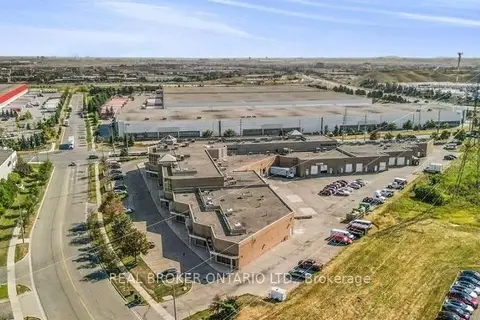
$1,429,000
6660 Kennedy Road 8
Gateway, Mississauga
Industrial · MLS® W13724010 · REAL BROKER ONTARIO LTD.
$1,439,000
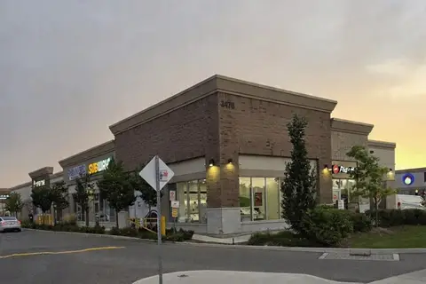
3470 Platinum Drive 42
Churchill Meadows, Mississauga
Commercial Retail · MLS® W13826260 · CENTURY 21 PEOPLE`S CHOICE REALTY INC.
$1,414,540
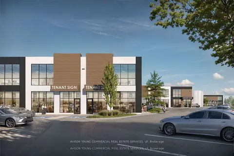
1833 Buckhorn Gate B1 #4
Northeast, Mississauga
Industrial · MLS® W12478141 · AVISON YOUNG COMMERCIAL REAL ESTATE SERVICES, LP
$1,399,990
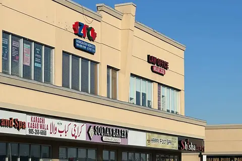
808 Britannia Road W 109
East Credit, Mississauga
Investment · MLS® W13747270 · RE/MAX GOLD REALTY INC.
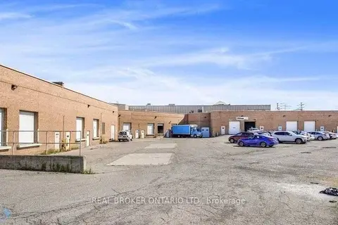
$1,479,000
6660 Kennedy Road 10
Gateway, Mississauga
Industrial · MLS® W13723990 · REAL BROKER ONTARIO LTD.
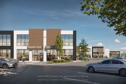
$1,494,790
1833 Buckhorn Gate B1 #5
Northeast, Mississauga
Industrial · MLS® W12478742 · AVISON YOUNG COMMERCIAL REAL ESTATE SERVICES, LP
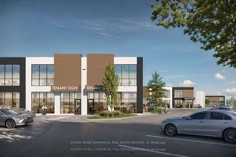
$1,494,790
1833 Buckhorn Gate B1 #6
Northeast, Mississauga
Industrial · MLS® W12478862 · AVISON YOUNG COMMERCIAL REAL ESTATE SERVICES, LP
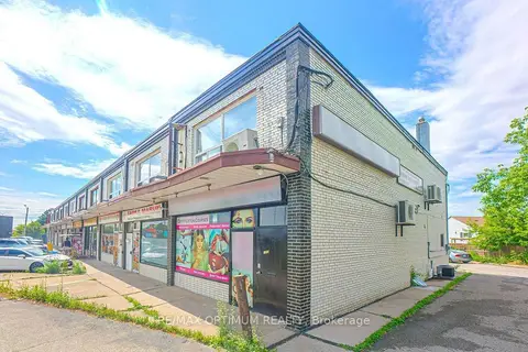
$1,499,000
7060 Airport Road
Malton, Mississauga
Commercial Retail · MLS® W13633218 · RE/MAX OPTIMUM REALTY