70 Superior Boulevard
Gateway, Mississauga, L5T 2X9
$19,999,000
Listed 11 days ago · MLS® W13881488
About this home
Power of Sale opportunity to acquire approximately 10 acres of vacant land in Mississauga's established Gateway employment area, including approximately 5 acres zoned E2 Employment. A compelling opportunity for industrial developers, owner-users and investors seeking a strategically located site near Highway 401 and Toronto Pearson International Airport. Prominent exposure along Hurontario Street, Superior Boulevard and Edwards Boulevard, with convenient access to Highways 403, 407, 410 and 427, public transit and nearby amenities. The balance of approximately 5 acres is zoned O3, which allows a range of office and other uses. Proposed uses and development are subject to applicable zoning provisions and municipal approvals. Property is being sold on an "as is, where is" basis, without any representations or warranties by the mortgagee. Buyer to verify all property information, including zoning boundaries, permitted uses, servicing and development requirements.
Details
- Type
- Land
- Lot
- 24.61 × 472 ft
- Property tax
- $252,919 (2026)
- Neighbourhood
- Gateway
- Municipality
- Mississauga
Heating, cooling and services
- Water and sewer
- Sanitary+Storm Available
- Utilities
- Available
Building and exterior
- Building area
- 10 Acres
More
- Possession
- Immediate
- Cross street
- Hurontario St
History of this address
1 earlier listing at this address, with sold and leased prices. Create a free account or sign in to see them.
Location
Location is approximate. See nearby homes on the map
Recent sales nearby
See what similar homes within 1 km sold for in the last year. Create a free account or sign in to see them.
The neighbourhood
Getting around Walkable
- 🚇 Courtneypark LRT10 min walk
- 🚆 Bramalea GO6.6 km
Within a 10-minute walk: no grocery stores, 24 cafés and restaurants, 0 parks.
Schools nearby
Elementary
- École élémentaire Le Flambeau French
EQAO: Gr 6 reading 100%, math 70%1.8 km - St. Veronica Elementary School Catholic
EQAO: Gr 6 reading 83%, math 50%2.0 km - Derry West Village Public School
EQAO: Gr 3 reading 58%, math 53%2.1 km
Secondary
- Mississauga Secondary School
EQAO: Gr 9 math 53%, literacy test 88%1.9 km - St. Marcellinus Secondary School Catholic
EQAO: Gr 9 math 68%, literacy test 91%2.2 km
EQAO: share of students meeting the provincial standard (2024–25). Ontario average: Gr 6 reading 86%, math 51%; Gr 9 math 55%; literacy test 83%.
Closest schools, not school zones. Check which school serves this address with the school board before relying on it.
Who lives here postal area L5T
- Population
- 19
Flood and conservation No mapped hazard
Not inside a mapped flood plain or regulated area.
Screening maps only. Ask the conservation authority for a property inquiry before relying on this.
Safety
Crime Severity Index for Peel Region (Mississauga/Brampton) police: 59 vs 57 for Ontario (2025).
Police-reported figures for the whole police service area, not this street. Rates use the area’s resident population.
Development nearby 3 active
-
6605 Hurontario Street · 450 mDevelopment application · In process · applied 2025Hotel (existing office building to remain)
-
70 Superior Blvd · 0 mDevelopment application · Application in Process · applied 2024Pdox transfer file sp 19-3 w5 || convention centre and two hotel towers attached by a podium
-
6710 Hurontario Street · 250 mDevelopment application · In process · applied 20237-storey mixed-use building containing office, restaurant, hotel and banquet uses.
Rezoning, site plan, subdivision and condominium applications filed with the city.
Distances are approximate. Places © OpenStreetMap contributors. Neighbourhood figures: Statistics Canada, 2021 Census. School results: EQAO via Ontario Data Catalogue (Open Government Licence – Ontario). Crime Severity Index: Statistics Canada. Planning applications: City of Mississauga open data.
Living here
Commute
To Union Station (downtown Toronto): 26 km. Transit times · Driving times
Coming transit
- 🚧 Courtneypark Hazel McCallion LRT500 m · opening about 2029
- 🚧 Derry Hazel McCallion LRT950 m · opening about 2029
Stations under construction or approved. Opening dates are the latest public estimates and often move.
Noise Nothing major nearby
No highway within 500 m, rail line within 300 m, or airport flight path nearby.
Distances from the map, not noise measurements. Visit at rush hour to judge for yourself.
Internet High-speed
50/10 Mbps or faster available here by cable, fibre or DSL (the federal high-speed target).
From the federal broadband map. Check exact speeds and providers for the address.
Roads, rail, airports and planned stations © OpenStreetMap contributors. Internet: Innovation, Science and Economic Development Canada, National Broadband Data.
Listed by REAL BROKER ONTARIO LTD..
Listing information provided by PropTx Innovations Inc. and TRREB; deemed reliable but not guaranteed accurate by PropTx.
Similar homes nearby
See more in Mississauga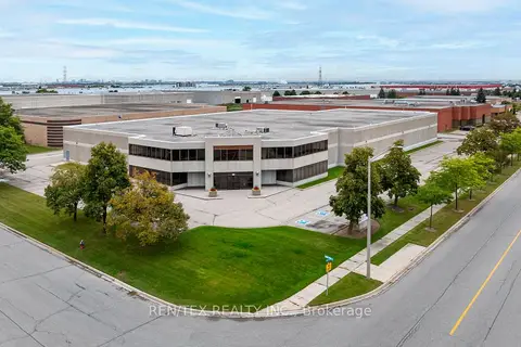
$17,895,000
261 Ambassador Drive
Gateway, Mississauga
Industrial · MLS® W13755060 · REN/TEX REALTY INC.
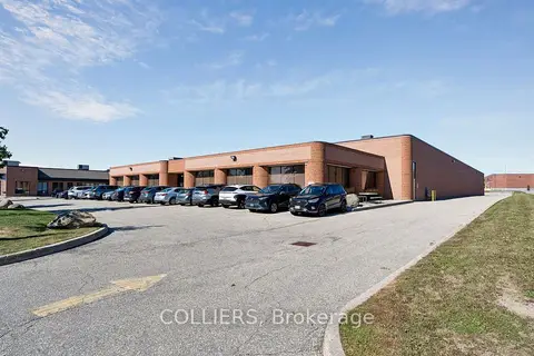
$17,300,000
195 Brunel Road
Gateway, Mississauga
Industrial · MLS® W13866748 · COLLIERS
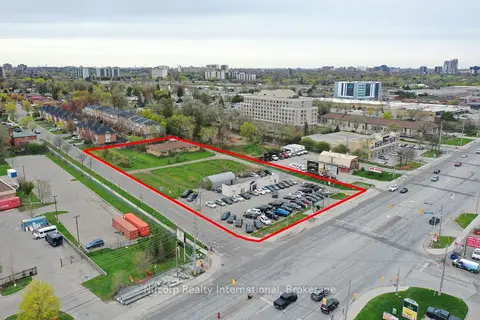
$20,000,000
1721 Dundas Street E
Dixie, Mississauga
Land · MLS® W13610302 · Nucorp Realty International
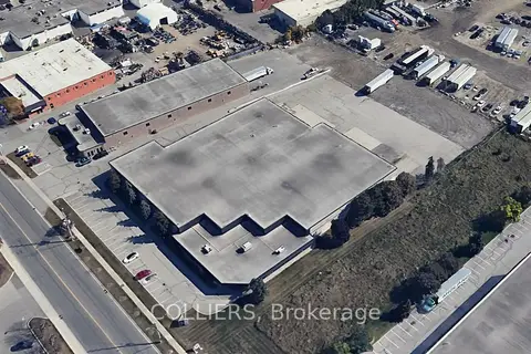
$19,950,000
2200 Drew Road
Northeast, Mississauga
Industrial · MLS® W13446778 · COLLIERS
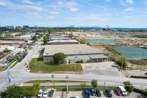
$20,269,430
895 Lakefront Promenade
Lakeview, Mississauga
Industrial · MLS® W13826402 · AVISON YOUNG COMMERCIAL REAL ESTATE SERVICES, LP
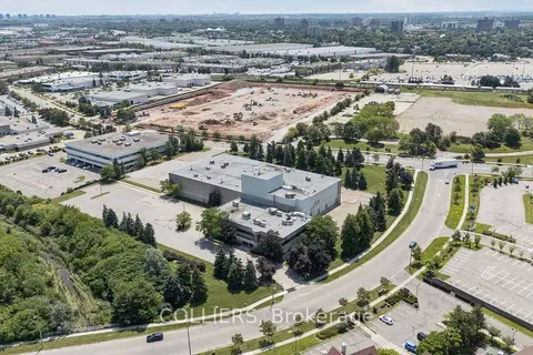
$21,950,000
7030 Century Avenue
Meadowvale Business Park, Mississauga
Industrial · MLS® W13641834 · COLLIERS
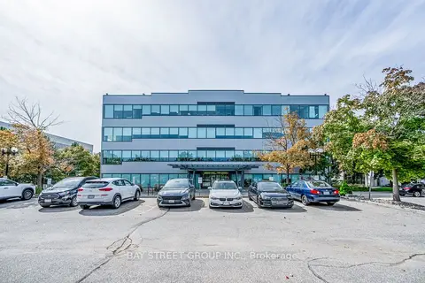
$16,999,000
Reduced $2,000,000
6790 Century Avenue
Meadowvale Business Park, Mississauga
Office · MLS® W12194190 · BAY STREET GROUP INC.