1721 Dundas Street E
Dixie, Mississauga, L4X 1L8
$20,000,000
Listed 85 days ago · MLS® W13610302
About this home
Situated amidst multiple large development applications in Mississauga, this exceptional 2-acre parcel of land is located on the doorstep of the new Bus Rapid Transit and outside the floodplain along the Dundas Corridor. Ideal for high-density/mixed-use development, this prime real estate offers excellent transportation access. Supported by city officials, a concept plan by Salmona Development Consultants aligns with the Dundas Connects Plan, aiming to enhance public transport and rejuvenate the 19.5 km Dundas Corridor. The city plans to transform Dundas Street into a vibrant hub with diverse businesses, parks, industries, educational institutions, and attractive neighborhoods. Benefits include a rapid bus lane to Kipling transit hub, increased GO train service at Dixie station, proximity to places of worship and many retail amenities. This unique opportunity is set to become a cornerstone of Mississauga's urban development vision. **EXTRAS** Property Is Improved With Single Family Home At The Rear & Commercial Building Fronting Dundas. Site Visit By Appointment. House Is As Is Where Is. Important Subject Property Is Not Located In Floodplain. Cash Flow From Short Term Leases.
Details
- Type
- Land
- Lot
- 169.69 × 465.6 ft
- Property tax
- $13,897 (2025)
- Neighbourhood
- Dixie
- Municipality
- Mississauga
Heating, cooling and services
- Water and sewer
- Sanitary Available
- Utilities
- Yes
Building and exterior
- Building area
- 2 Acres
More
- Possession
- Flexible
- Cross street
- Dixie and Dundas
Location
Location is approximate. See nearby homes on the map
Recent sales nearby
See what similar homes within 1 km sold for in the last year. Create a free account or sign in to see them.
The neighbourhood
Getting around Very walkable
- 🚆 Dixie GO15 min walk
Within a 10-minute walk: 4 grocery stores, 29 cafés and restaurants, 3 parks, 2 pharmacies. Nearest grocery: Eden Garden (550 m). Nearest park: Coram Park (350 m).
Schools nearby
Elementary
- Brian W. Fleming Public School
EQAO: Gr 3 reading 79%, math 56%13 min walk - St. Alfred School Catholic
EQAO: Gr 6 reading 91%, math 39%17 min walk - Islamic Society of North America Elementary School Private1.6 km
- Forest Glen Public School
EQAO: Gr 3 reading 55%, math 49%1.6 km
Secondary
- Glenforest Secondary School
EQAO: Gr 9 math 58%, literacy test 89%1.8 km - Glenhaven Senior Public School1.8 km
EQAO: share of students meeting the provincial standard (2024–25). Ontario average: Gr 6 reading 86%, math 51%; Gr 9 math 55%; literacy test 83%.
Closest schools, not school zones. Check which school serves this address with the school board before relying on it.
Who lives here postal area L4X
- Owners / renters
- 47% / 53%
- Median household income
- $81,000
- Average age
- 41
- Children under 15
- 16%
- Homes
- 24% detached, 46% high-rise
- Commute by transit
- 14%
- Population
- 18,719
Languages spoken most at home besides English: Urdu 4.5%, Polish 2.9%, Vietnamese 2.6%, Ukrainian 2.5%.
Flood and conservation No mapped hazard
Not inside a mapped flood plain or regulated area.
Screening maps only. Ask the conservation authority for a property inquiry before relying on this.
Safety
Crime Severity Index for Peel Region (Mississauga/Brampton) police: 59 vs 57 for Ontario (2025).
Police-reported figures for the whole police service area, not this street. Rates use the area’s resident population.
Development nearby 2 active
-
1699 Dundas St E and 3050 Treadewells Drive · 100 mDevelopment application · Application in Process · applied 20255 storey long term care facility with 125 units (128 homes)
-
1580 and 1650 Dundas St E · 350 mDevelopment application · Appealed · applied 2022Multiple buildings from 3 to 41 storeys with a total of 3027 dwelling units and 2506 sq m of retail gfa (3027 homes)
Rezoning, site plan, subdivision and condominium applications filed with the city.
Distances are approximate. Places © OpenStreetMap contributors. Neighbourhood figures: Statistics Canada, 2021 Census. School results: EQAO via Ontario Data Catalogue (Open Government Licence – Ontario). Crime Severity Index: Statistics Canada. Planning applications: City of Mississauga open data.
Living here
Commute
To Union Station (downtown Toronto): 16 km. Transit times · Driving times
Noise Nothing major nearby
No highway within 500 m, rail line within 300 m, or airport flight path nearby.
Distances from the map, not noise measurements. Visit at rush hour to judge for yourself.
Internet High-speed
50/10 Mbps or faster available here by cable, fibre or DSL (the federal high-speed target).
From the federal broadband map. Check exact speeds and providers for the address.
Roads, rail, airports and planned stations © OpenStreetMap contributors. Internet: Innovation, Science and Economic Development Canada, National Broadband Data.
Listed by Nucorp Realty International.
Listing information provided by PropTx Innovations Inc. and TRREB; deemed reliable but not guaranteed accurate by PropTx.
Similar homes nearby
See more in Mississauga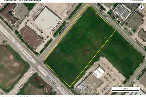
$19,999,000
70 Superior Boulevard
Gateway, Mississauga
Land · MLS® W13881488 · REAL BROKER ONTARIO LTD.
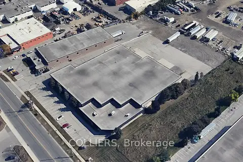
$19,950,000
2200 Drew Road
Northeast, Mississauga
Industrial · MLS® W13446778 · COLLIERS
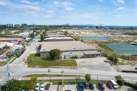
$20,269,430
895 Lakefront Promenade
Lakeview, Mississauga
Industrial · MLS® W13826402 · AVISON YOUNG COMMERCIAL REAL ESTATE SERVICES, LP
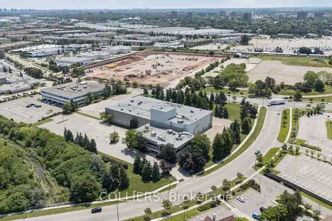
$21,950,000
7030 Century Avenue
Meadowvale Business Park, Mississauga
Industrial · MLS® W13641834 · COLLIERS
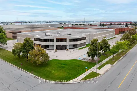
$17,895,000
261 Ambassador Drive
Gateway, Mississauga
Industrial · MLS® W13755060 · REN/TEX REALTY INC.
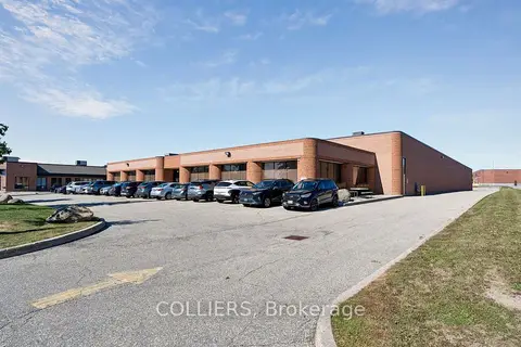
$17,300,000
195 Brunel Road
Gateway, Mississauga
Industrial · MLS® W13866748 · COLLIERS
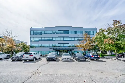
$16,999,000
Reduced $2,000,000
6790 Century Avenue
Meadowvale Business Park, Mississauga
Office · MLS® W12194190 · BAY STREET GROUP INC.