6705 CROPP Street 92
212 - Morrison, Niagara Falls, L2E 0C1 · More in this building
$1,850/mo
Reduced $45 from $1,895
- 1 bedrooms
- 2 bathrooms
- 1 parking
- 700-799 sq ft
Listed 69 days ago · MLS® X13668544
About this home
The Cannery District was designed to offer new stylish living in the heart of Niagara. One bedroom end unit, open concept floorplan, bright kitchen, upgraded quartz counter tops throughout, upgraded cabinets, combination living/dining room, vinyl plank flooring, in-suite laundry, air conditioner, 4 piece and 2 piece washrooms. Covered patio featuring 147 square feet, fridge, stove, built-in dishwasher, stackable washer & dryer. First and last months rent, rental application, driver's licence, full Equifax/TransUnion report supplied by Tenant, letter of employment, references, liability insurance and 2 most current pay stubs. Pictures taken prior to the current Tenant moving in. Tenant is responsible for snow removal on stairs and walkway in front of designated parking spot. $1,850 per month plus utilities and $100 refundable key deposit.
Details
- Type
- Condo Apartment
- Style
- 1 Storey/Apt
- Age
- 0-5 years
- Size
- 700-799 sq ft
- Basement
- None
- Garage
- None
- Kitchens
- 1
- Neighbourhood
- 212 - Morrison
- Municipality
- Niagara Falls
- Rent increase limit
- Probably not covered: units first occupied after Nov. 15, 2018 have no yearly cap in Ontario, so ask the landlord.
Interior
- Bedrooms
- 1 above ground
- Bathrooms
- 1 × 4-piece (main), 1 × 2-piece (main)
- Rooms
- 5 above ground
- Family room or den
- No
- Fireplace
- No
- Laundry
- In-Suite Laundry, Ensuite
- Features
- Separate Heating Controls
- Furnished
- Unfurnished
Heating, cooling and services
- Heating
- Water, Gas
- Air conditioning
- Central Air
Building and exterior
- Style
- 1 Storey/Apt
- Exterior
- Vinyl Siding, Brick
- Roof
- Asphalt Rolled
- Age
- 0-5 years
Parking
- Total parking
- 1
Condo
- Amenities
- Visitor Parking
- Balcony
- Open
- Exposure
- West
- Property manager
- Wilson Blanchard
More
- Possession
- 30-59 days
- Cross street
- Dorchester Road to Cropp Street, at stop sign (University Avenue) turn left in to site.
Rooms
| Room | Level | Size | Features |
|---|---|---|---|
| Kitchen | Main | 2.62 × 2.24 m (8'7" × 7'4") | |
| Living Room | Main | 6.07 × 3.45 m (19'11" × 11'4") | |
| Primary Bedroom | Main | 3.66 × 3.1 m (12' × 10'2") |
History of this address
2 earlier listings at this address, with sold and leased prices. Create a free account or sign in to see them.
Location
Location is approximate. See nearby homes on the map
The neighbourhood
Getting around Somewhat walkable
No subway, LRT or GO station within a short trip.
Within a 10-minute walk: 1 grocery store, 3 cafés and restaurants, 1 park, 1 pharmacy. Nearest grocery: Zehrs (500 m). Nearest park: Althea Park (800 m).
Schools nearby
Elementary
- Cherrywood Acres Public School
EQAO: Gr 6 reading 100%, math 83%7 min walk - École élémentaire LaMarsh French
EQAO: Gr 6 reading 90%, math 76%10 min walk - École élémentaire catholique Saint-Antoine Catholic · French
EQAO: Gr 6 reading 79%, math 29%1.2 km - St. Mary Catholic Elementary School Catholic
EQAO: Gr 6 reading 100%, math 100%1.4 km
Secondary
- Stamford Collegiate
EQAO: Gr 9 math 62%, literacy test 80%1.4 km - Saint Paul Catholic High School Catholic
EQAO: Gr 9 math 81%, literacy test 84%1.7 km
EQAO: share of students meeting the provincial standard (2024–25). Ontario average: Gr 6 reading 86%, math 51%; Gr 9 math 55%; literacy test 83%.
Closest schools, not school zones. Check which school serves this address with the school board before relying on it.
Who lives here postal area L2E
- Owners / renters
- 61% / 39%
- Median household income
- $60,800
- Average age
- 45
- Children under 15
- 13%
- Homes
- 57% detached, 7% high-rise
- Commute by transit
- 2%
- Population
- 18,587
Languages spoken most at home besides English: Italian 1.2%, Spanish 0.8%, Malayalam 0.7%, Punjabi (Panjabi) 0.6%.
Flood and conservation No mapped hazard
Not inside a mapped flood plain or regulated area in Niagara Peninsula Conservation’s mapping.
Screening maps only. Ask the conservation authority for a property inquiry before relying on this.
Safety
Crime Severity Index for Niagara Region (St. Catharines) police: 54 vs 57 for Ontario (2025).
Police-reported figures for the whole police service area, not this street. Rates use the area’s resident population.
Distances are approximate. Places © OpenStreetMap contributors. Neighbourhood figures: Statistics Canada, 2021 Census. School results: EQAO via Ontario Data Catalogue (Open Government Licence – Ontario). Flood and regulation mapping: Niagara Peninsula Conservation open data. Crime Severity Index: Statistics Canada.
Living here
Commute
To Union Station (downtown Toronto): 64 km. Transit times · Driving times
Noise 1 source nearby
- 🚆 Rail line (Stamford Subdivision)150 m
Distances from the map, not noise measurements. Visit at rush hour to judge for yourself.
Internet High-speed
50/10 Mbps or faster available here by cable, fibre or DSL (the federal high-speed target).
From the federal broadband map. Check exact speeds and providers for the address.
Roads, rail, airports and planned stations © OpenStreetMap contributors. Internet: Innovation, Science and Economic Development Canada, National Broadband Data.
Listed by ROYAL LEPAGE NRC REALTY.
Listing information provided by PropTx Innovations Inc. and TRREB; deemed reliable but not guaranteed accurate by PropTx.
Similar homes nearby
See more in Niagara Falls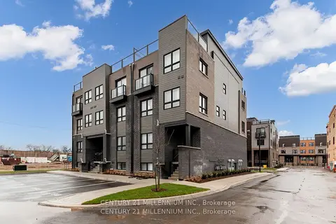
$1,800/mo
2 bd2 ba1 pk800-899 ft²
6705 Cropp Street E 102
212 - Morrison, Niagara Falls
Condo Townhouse · MLS® X13571088 · CENTURY 21 MILLENNIUM INC.
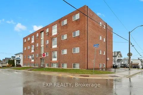
$1,850/mo
2 bd1 ba1 pk700-799 ft²
4663 Huron Street 5
210 - Downtown, Niagara Falls
Other · MLS® X13696620 · EXP REALTY
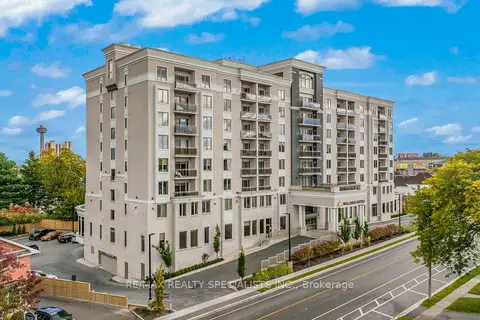
$1,850/mo
1 bd1 ba1 pk600-699 ft²
5698 Main Street 506
215 - Hospital, Niagara Falls
Condo Apartment · MLS® X13743662 · RE/MAX REALTY SPECIALISTS INC.
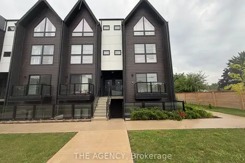
$1,850/mo
Reduced $200
2 bd2 ba1 pk500-599 ft²
7277 Wilson Crescent 206
220 - Oldfield, Niagara Falls
Condo Apartment · MLS® X13760508 · THE AGENCY
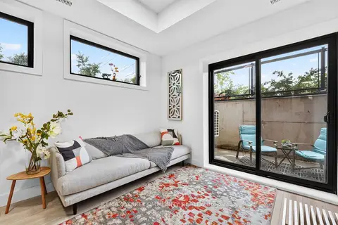
$1,895/mo
2 bd2 ba1 pk600-699 ft²
7277 Wilson Crescent 106
220 - Oldfield, Niagara Falls
Condo Townhouse · MLS® X13768652 · REMAX YOUR COMMUNITY REALTY
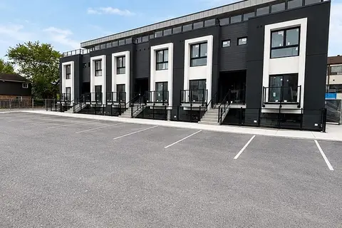
$1,900/mo
Reduced $200
0+2 bd1 ba1 pk0-499 ft²
6638 Mcleod Road 115
220 - Oldfield, Niagara Falls
Condo Townhouse · MLS® X13104636 · ROYAL LEPAGE STATE REALTY
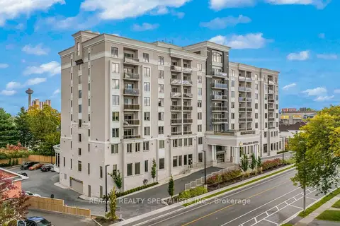
$1,900/mo
1 bd1 ba1 pk600-699 ft²
5698 Main Street 705
215 - Hospital, Niagara Falls
Condo Apartment · MLS® X13743670 · RE/MAX REALTY SPECIALISTS INC.
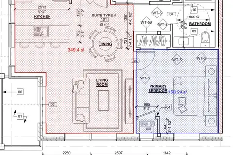
$1,800/mo
1 bd1 ba1 pk700-799 ft²
2853 N Dorchester Road N 11
206 - Stamford, Niagara Falls
Leasehold Condo · MLS® X13835954 · Century 21 Heritage House LTD