614-616 Wellington Street
East F, London East, N6A 3R7
$819,000
- 10 bedrooms
- 4 bathrooms
- 4 parking
- 3500-5000 sq ft
Listed today · MLS® X14096824
About this home
First time on the market. Fabulous location near Victoria Park. Purpose built 4plex. Two bedroom apartments and two 3 bedroom apartments. Upper apartments have huge balconies, and lower apartments have private patio areas. Income expenses available in documents. 2 apartments are presently vacant. Each apartment has front and back entrances. Parking for 4 cars.
Details
- Type
- Fourplex
- Style
- 2-Storey
- Age
- 100+ years
- Size
- 3500-5000 sq ft
- Lot
- 47.84 × 119.75 ft
- Basement
- Full, Unfinished
- Garage
- None
- Kitchens
- 4
- Property tax
- $8,566 (2026)
- Neighbourhood
- East F
- Municipality
- London East
Interior
- Bedrooms
- 10 above ground
- Bathrooms
- 2 × 4-piece (main), 2 × 4-piece (second)
- Rooms
- 18 above ground
- Family room or den
- No
- Fireplace
- No
- Features
- Separate Hydro Meter
Heating, cooling and services
- Heating
- Water, Gas
- Water and sewer
- Sewer
Building and exterior
- Style
- 2-Storey
- Exterior
- Stucco (Plaster)
- Roof
- Asphalt Shingle
- Foundation
- Brick, Stone
- Age
- 100+
- Faces
- East
- Outdoor
- Deck, Fishing, Porch, Porch Enclosed, Garden Shed
Parking
- Total parking
- 4
- Driveway and parking
- Available, Lane
Lot
- Size
- 47.84 × 119.75 ft
More
- Possession
- 2027
- Nearby
- Hospital, Library, Park, Place Of Worship, Public Transit, School
- Cross street
- Pall Mall
Location
Location is approximate. See nearby homes on the map
Recent sales nearby
See what similar homes within 1 km sold for in the last year. Create a free account or sign in to see them.
The neighbourhood
Getting around Very walkable
No subway, LRT or GO station within a short trip.
Within a 10-minute walk: 4 grocery stores, 84 cafés and restaurants, 7 parks, 2 pharmacies. Nearest grocery: Your Independent Grocer (650 m). Nearest park: Victoria Park (250 m).
Schools nearby
Elementary
- Lord Roberts Public School11 min walk
- St George's Public School Catholic
EQAO: Gr 6 reading 90%, math 81%12 min walk - Jeanne-Sauvé Public School
EQAO: Gr 6 reading 97%, math 58%1.2 km - St. Michael Separate School Catholic
EQAO: Gr 6 reading 94%, math 53%1.5 km
Secondary
- London Central Secondary School
EQAO: Gr 9 math 81%, literacy test 91%6 min walk - Catholic Central High School Catholic
EQAO: Gr 9 math 57%, literacy test 89%14 min walk - H.B. Beal Secondary School
EQAO: Gr 9 math 56%, literacy test 79%18 min walk
EQAO: share of students meeting the provincial standard (2024–25). Ontario average: Gr 6 reading 86%, math 51%; Gr 9 math 55%; literacy test 83%.
Closest schools, not school zones. Check which school serves this address with the school board before relying on it.
Who lives here postal area N6A
- Owners / renters
- 29% / 71%
- Median household income
- $61,200
- Average age
- 41
- Children under 15
- 7%
- Homes
- 19% detached, 55% high-rise
- Commute by transit
- 12%
- Population
- 13,810
Languages spoken most at home besides English: Spanish 1.1%, Mandarin 1%, Portuguese 0.8%, Arabic 0.6%.
Safety
Crime Severity Index for London police: 73 vs 57 for Ontario (2025).
Police-reported figures for the whole police service area, not this street. Rates use the area’s resident population.
Distances are approximate. Places © OpenStreetMap contributors. Neighbourhood figures: Statistics Canada, 2021 Census. School results: EQAO via Ontario Data Catalogue (Open Government Licence – Ontario). Crime Severity Index: Statistics Canada.
Living here
Commute
Noise Nothing major nearby
No highway within 500 m, rail line within 300 m, or airport flight path nearby.
Distances from the map, not noise measurements. Visit at rush hour to judge for yourself.
Internet High-speed
50/10 Mbps or faster available here by cable, fibre or DSL (the federal high-speed target).
From the federal broadband map. Check exact speeds and providers for the address.
Roads, rail, airports and planned stations © OpenStreetMap contributors. Internet: Innovation, Science and Economic Development Canada, National Broadband Data.
Listed by SUTTON GROUP - SELECT REALTY.
Listing information provided by PropTx Innovations Inc. and TRREB; deemed reliable but not guaranteed accurate by PropTx.
Similar homes nearby
See more in London East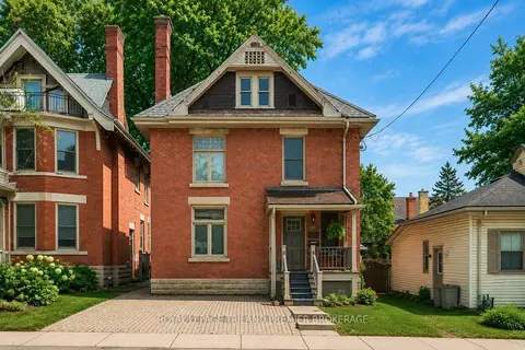
$774,900
4 bd4 ba3 pk2500-3000 ft²
100 Central Avenue
East F, London East
Duplex · MLS® X13715296 · ROYAL LEPAGE TRILAND PREMIER BROKERAGE
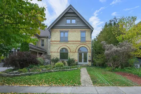
$749,000
5 bd2 ba3 pk3000-3500 ft²
512 Piccadilly Street
East F, London East
Detached · MLS® X14089088 · SUTTON GROUP - SELECT REALTY
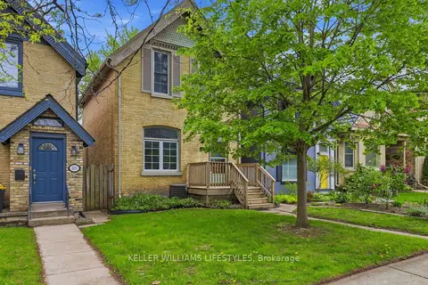
$719,900
5 bd2 ba3 pk1500-2000 ft²
303 Pall Mall Street
East F, London East
Detached · MLS® X13808348 · KELLER WILLIAMS LIFESTYLES
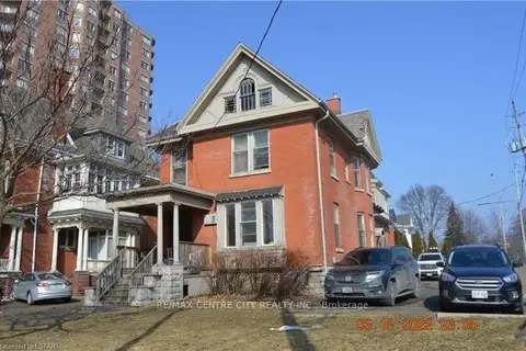
$699,000
10+10 bd3 ba5 pk2500-3000 ft²
334 Queens Avenue
East F, London East
Other · MLS® X13852790 · RE/MAX CENTRE CITY REALTY INC
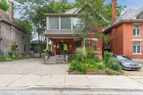
$949,900
5 bd4 ba4 pk3000-3500 ft²
98 Central Avenue
East F, London East
Detached · MLS® X13691224 · ROYAL LEPAGE TRILAND REALTY
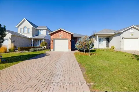
$812,000
3+2 bd2 ba5 pk1100-1500 ft²
1402 Baycliffe Place
East E, London East
Link · MLS® X13669550 · ACHIEVERS REALTY
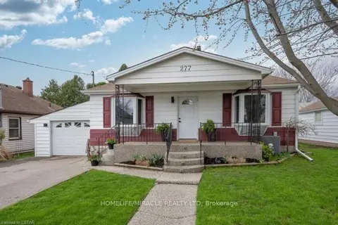
$809,900
2+1 bd2 ba5 pk1100-1500 ft²
277 Giles Street
East M, London East
Detached · MLS® X13602382 · HOMELIFE/MIRACLE REALTY LTD
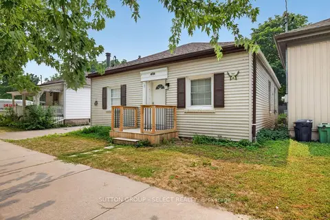
$829,000
6+3 bd3 ba4 pk2000-2500 ft²
433 South Street
East K, London East
Triplex · MLS® X13695870 · SUTTON GROUP - SELECT REALTY