5977 Ninth Line
Rural Whitchurch-Stouffville, Whitchurch-Stouffville, L4A 7X4
$1,350,000
- 0 bedrooms
- 0 bathrooms
- < 700 sq ft
Listed 49 days ago · MLS® N13733514
About this home
A Beautiful double wide Estate Lot on a hilltop in scenic Vivian Forest - offering 338ft of frontage. Exclusive area consisting of significant estates yet close to urban conveniences of Newmarket, Stouffville, Major Highways, GO train and Southlake regional health Centre. Seller has completed various studies required to apply for a building permit including Topographic survey, Natural heritage evaluation, Site Grading plan, Septic plan, Butter nut assessment saving months of time and expense for the buyer. Three different concepts of building plans and designs are also included to carry forward if desired. VTB financing available.
Details
- Type
- Vacant Land
- Size
- < 700 sq ft
- Lot
- 338 × 285 ft
- Kitchens
- 0
- Property tax
- $3,780 (2026)
- Neighbourhood
- Rural Whitchurch-Stouffville
- Municipality
- Whitchurch-Stouffville
Building and exterior
- Faces
- West
Lot
- Size
- 338 × 285 ft
- Acreage
- 2-4.99
More
- Possession
- TBD
- Cross street
- Vivian/Ninth
History of this address
11 earlier listings at this address, with sold and leased prices. Create a free account or sign in to see them.
Location
Location is approximate. See nearby homes on the map
Recent sales nearby
See what similar homes within 1 km sold for in the last year. Create a free account or sign in to see them.
The neighbourhood
Getting around Car-dependent
No subway, LRT or GO station within a short trip.
Within a 10-minute walk: no grocery stores, 0 cafés and restaurants, 0 parks.
Who lives here postal area L4A
- Owners / renters
- 88% / 12%
- Median household income
- $122,000
- Average age
- 41
- Children under 15
- 19%
- Homes
- 75% detached, 1% high-rise
- Commute by transit
- 3%
- Population
- 50,389
Languages spoken most at home besides English: Yue (Cantonese) 6.1%, Mandarin 3.6%, Tamil 2.8%, Italian 0.5%.
Flood and conservation No mapped hazard
Not inside a mapped flood plain or regulated area.
Screening maps only. Ask the conservation authority for a property inquiry before relying on this.
Safety
Crime Severity Index for York Region police: 50 vs 57 for Ontario (2025).
Police-reported figures for the whole police service area, not this street. Rates use the area’s resident population.
Distances are approximate. Places © OpenStreetMap contributors. Neighbourhood figures: Statistics Canada, 2021 Census. Crime Severity Index: Statistics Canada.
Living here
Commute
To Union Station (downtown Toronto): 49 km. Transit times · Driving times
Noise Nothing major nearby
No highway within 500 m, rail line within 300 m, or airport flight path nearby.
Distances from the map, not noise measurements. Visit at rush hour to judge for yourself.
Internet High-speed
50/10 Mbps or faster available here by cable, fibre or DSL (the federal high-speed target).
From the federal broadband map. Check exact speeds and providers for the address.
Roads, rail, airports and planned stations © OpenStreetMap contributors. Internet: Innovation, Science and Economic Development Canada, National Broadband Data.
Listed by INTERNATIONAL REALTY FIRM, INC..
Listing information provided by PropTx Innovations Inc. and TRREB; deemed reliable but not guaranteed accurate by PropTx.
Similar homes nearby
See more in Whitchurch-Stouffville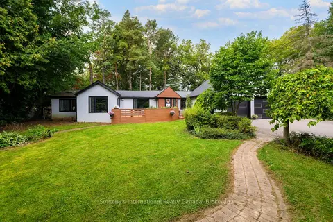
$1,299,000
2 bd2 ba6 pk1500-2000 ft²
38 Hilltop Boulevard
Rural Whitchurch-Stouffville, Whitchurch-Stouffville
Detached · MLS® N13708016 · Sotheby's International Realty Canada, Brokerage
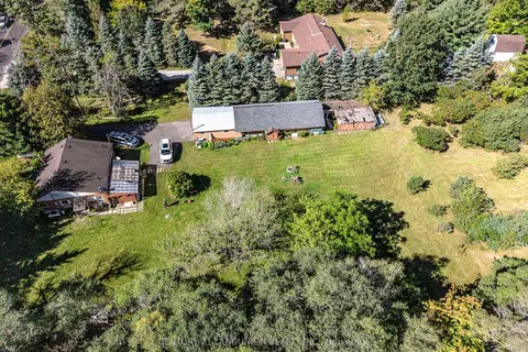
$1,259,000
2 bd1 ba14 pk700-1100 ft²
4192 Vivian Road
Rural Whitchurch-Stouffville, Whitchurch-Stouffville
Detached · MLS® N13636848 · CENTURY 21 LANDUNION REALTY INC.
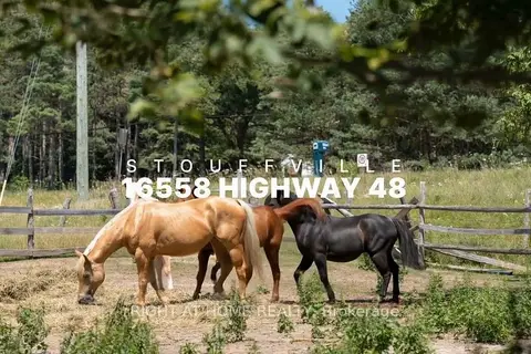
$1,450,000
3+3 bd3 ba6 pk1500-2000 ft²
16558 Highway 48
Rural Whitchurch-Stouffville, Whitchurch-Stouffville
Detached · MLS® N13629672 · RIGHT AT HOME REALTY
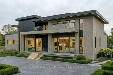
$1,248,888
0 bd0 ba
4035 Aurora Road
Rural Whitchurch-Stouffville, Whitchurch-Stouffville
Vacant Land · MLS® N13600100 · CENTURY 21 LEADING EDGE REALTY INC.
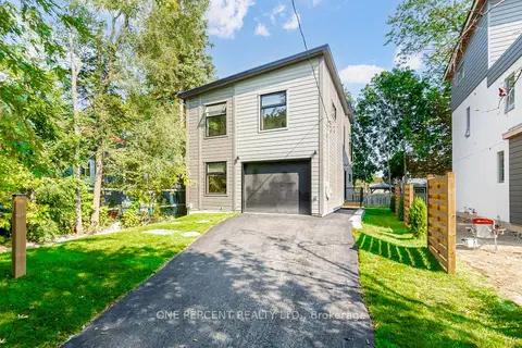
$1,229,000
4 bd3 ba4 pk1500-2000 ft²
57 Rosehill Drive
Rural Whitchurch-Stouffville, Whitchurch-Stouffville
Detached · MLS® N13771548 · ONE PERCENT REALTY LTD.
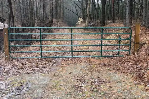
$1,489,000
0 bd0 ba
5055 Cherry Street
Rural Whitchurch-Stouffville, Whitchurch-Stouffville
Vacant Land · MLS® N13755486 · KELLER WILLIAMS REALTY CENTRES
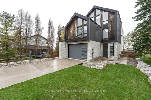
$1,498,000
3+1 bd5 ba7 pk3000-3500 ft²
16 Windsor Drive
Rural Whitchurch-Stouffville, Whitchurch-Stouffville
Detached · MLS® N14071794 · HOMELIFE/BAYVIEW REALTY INC.
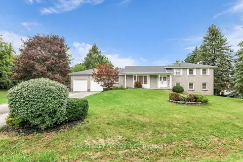
$1,499,000
4+1 bd4 ba12 pk1500-2000 ft²
25 Marjorie Drive
Rural Whitchurch-Stouffville, Whitchurch-Stouffville
Detached · MLS® N13750236 · BAY STREET GROUP INC.