570 Laclie Street
Orillia, Orillia, L3V 4A9
$1,775,000
- 0 bedrooms
Listed 11 days ago · MLS® S13883034
About this home
Back on Market -- Opportunity for a new vision! 570 Laclie Street is located in north Orillia at the intersection of Laclie Street, Hughes Road and Ferguson Road. The 1.287 AC triangular parcel has approximately 600' of frontage on the east side of Laclie Street. Property borders Ferguson Road at the rear of the parcel which appears to be an unassumed road / opened allowance that intersects with Hughes & Sundial Drive at the north and south boundaries. Property can be serviced as municipal water and sanitary lines / storm sewers, as well as natural gas, electricity, high speed interest and telephone, are located on all surroundings streets. This parcel is located just 750m west of the shores of Lake Couchiching and 750m south of closest Highway 11 interchange. In 2021, the City of Orillia approved a rezoning from C4(i)H2 to R5-13i(H2) to allow for a 7-storey building with 70 dwelling units. While the site has been rezoned for a 70 unit, 7 storey building, the current rendering and site plan indicates ground floor parking with five floors of residential for a total of 6 storeys. consisting of 70 residential condo units and 91 parking spaces. Unit mix: 52 One-Bedroom Suites, 8 Two-Bedroom Suites and 10 Three-Bedroom Suites, with a 1.3 parking ratio. Total GFA = 91,446SF / Total NSA = 82,271 SF - Site coverage of 23.15%. Zoning By-Law Amendment 2021-37 allows for density of 133.89 units / hectares. Current Development charges for project estimated to be $1,295,588 based on current DC for residential - but subject to review following approval of Site Plan. To be re-assessed - estimated to be $11,000 for 2026.
Details
- Type
- Land
- Lot
- 608 × 160 ft
- Kitchens
- 0
- Property tax
- $11,000 (2026)
- Neighbourhood
- Orillia
- Municipality
- Orillia
Heating, cooling and services
- Water and sewer
- Sanitary+Storm Available
- Utilities
- Available
Building and exterior
- Building area
- 1 Acres
More
- Possession
- Flexible
- Cross street
- Hughes Road
- Business type
- Residential
History of this address
3 earlier listings at this address, with sold and leased prices. Create a free account or sign in to see them.
Location
Location is approximate. See nearby homes on the map
Recent sales nearby
See what similar homes within 1 km sold for in the last year. Create a free account or sign in to see them.
The neighbourhood
Getting around Car-dependent
No subway, LRT or GO station within a short trip.
Within a 10-minute walk: 1 grocery store, 0 cafés and restaurants, 1 park. Nearest grocery: No Frills (950 m). Nearest park: Frontier Park (700 m).
Schools nearby
Elementary
- Couchiching Heights Public School
EQAO: Gr 6 reading 96%, math 56%13 min walk - Monsignor Lee Separate School Catholic1.4 km
- Orchard Park Elementary School
EQAO: Gr 6 reading 81%, math 44%1.8 km
Secondary
- Patrick Fogarty Secondary School Catholic
EQAO: Gr 9 math 40%, literacy test 83%1.2 km
EQAO: share of students meeting the provincial standard (2024–25). Ontario average: Gr 6 reading 86%, math 51%; Gr 9 math 55%; literacy test 83%.
Closest schools, not school zones. Check which school serves this address with the school board before relying on it.
Who lives here postal area L3V
- Owners / renters
- 70% / 30%
- Median household income
- $77,500
- Average age
- 46
- Children under 15
- 14%
- Homes
- 67% detached, 5% high-rise
- Commute by transit
- 2%
- Population
- 48,651
Languages spoken most at home besides English: Tagalog (Pilipino, Filipino) 0.2%, Mandarin 0.2%, Yue (Cantonese) 0.2%, Gujarati 0.2%.
Flood and conservation No mapped hazard
Not inside a mapped flood plain or regulated area.
Screening maps only. Ask the conservation authority for a property inquiry before relying on this.
Safety
Crime Severity Index for Orillia (OPP): 102 vs 57 for Ontario (2025).
Police-reported figures for the whole police service area, not this street. Rates use the area’s resident population.
Distances are approximate. Places © OpenStreetMap contributors. Neighbourhood figures: Statistics Canada, 2021 Census. School results: EQAO via Ontario Data Catalogue (Open Government Licence – Ontario). Crime Severity Index: Statistics Canada.
Living here
Commute
Noise 1 source nearby
- 🛣️ Highway 11450 m
Distances from the map, not noise measurements. Visit at rush hour to judge for yourself.
Internet High-speed
50/10 Mbps or faster available here by cable, fibre or DSL (the federal high-speed target).
From the federal broadband map. Check exact speeds and providers for the address.
Roads, rail, airports and planned stations © OpenStreetMap contributors. Internet: Innovation, Science and Economic Development Canada, National Broadband Data.
Listed by SUTTON GROUP INCENTIVE REALTY INC..
Listing information provided by PropTx Innovations Inc. and TRREB; deemed reliable but not guaranteed accurate by PropTx.
Similar homes nearby
See more in Orillia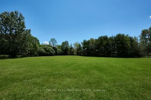
$1,988,000
2925 Old Barrie Road E
Orillia, Orillia
Investment · MLS® S12985950 · CENTURY 21 B.J. ROTH REALTY LTD.
$1,999,000
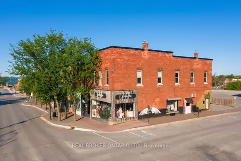
Reduced $196,000
161-165 Mississaga Street E
Orillia, Orillia
Commercial Retail · MLS® S13213612 · REAL BROKER ONTARIO LTD.
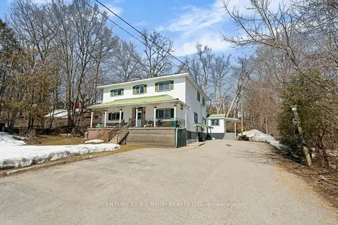
$1,500,000
Reduced $50,000
184 Borland Street E
Orillia, Orillia
Investment · MLS® S13034698 · CENTURY 21 B.J. ROTH REALTY LTD.
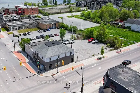
$1,499,999
2 Front Street S
Orillia, Orillia
Commercial Retail · MLS® S14031130 · RE/MAX RIGHT MOVE
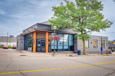
$1,495,000
40 Peter Street S
Orillia, Orillia
Office · MLS® S13808702 · Century 21 B.J. Roth Realty Ltd.