569 Grange Way
Northcrest Ward 5, Peterborough, K9H 7M9
$580,000
Reduced $108,000 from $688,000
- 2 bedrooms
- 2 bathrooms
- 4 parking
- 1100-1500 sq ft
Listed 90 days ago · MLS® X13594952
About this home
Beautiful Cape Cod-Inspired Walkout Bungalow Backing Adjacent to a quiet neighborhood park! This Bright And Inviting Home Features An Open-Concept Main Floor With A Stunning Great Room, Soaring Cathedral Ceilings, And Expansive Windows That Fill The Space With Natural Light. The Functional Layout Includes Two Main-Floor Bedrooms And Seamless Access To The Kitchen And Living Area, Creating A Warm And Comfortable Atmosphere For Everyday Living.Step Out Onto The Spacious Deck Overlooking Lush Green Space-Perfect For Morning Coffee, Summer BBQs, Or Simply Relaxing In A Peaceful Setting. The Sun-Filled Walkout Lower Level Offers Endless Potential For A Recreation Room, Home Office, Or Additional Living Space, With Large Windows And Direct Access To The Backyard. Complete With A Double-Car Garage, And Parking For Two More Vehicles. A Rare Opportunity To Enjoy Nature, Comfort, And Flexible Living In One Exceptional Home.
Details
- Type
- Detached
- Style
- Bungalow
- Age
- 6-15 years
- Size
- 1100-1500 sq ft
- Lot
- 45.93 × 98.82 ft
- Basement
- Unfinished, Walk-Out
- Garage
- Attached
- Kitchens
- 1
- Property tax
- $5,644 (2025)
- Neighbourhood
- Northcrest Ward 5
- Municipality
- Peterborough
- Price per sq ft
- $446 (about the same as detached houses in Northcrest Ward 5)
Interior
- Bedrooms
- 2 above ground
- Bathrooms
- 1 × 2-piece (main), 1 × 4-piece (main)
- Rooms
- 6 above ground
- Family room or den
- Yes
- Fireplace
- No
- Features
- Auto Garage Door Remote
Heating, cooling and services
- Heating
- Forced Air, Gas
- Air conditioning
- Central Air
- Water and sewer
- Sewer
Building and exterior
- Style
- Bungalow
- Exterior
- Aluminum Siding, Brick
- Roof
- Asphalt Shingle
- Foundation
- Poured Concrete
- Age
- 6-15 years
- Faces
- South
Parking
- Garage spaces
- 2
- Total parking
- 4
Lot
- Size
- 45.93 × 98.82 ft (rectangular)
More
- Possession
- Flexible
- Cross street
- Rowberry Blvd to Grange Way
Rooms
| Room | Level | Size | Features |
|---|---|---|---|
| Bedroom | Main | 3.61 × 4.27 m (11'10" × 14') | |
| Bedroom 2 | Main | 3.96 × 3.51 m (13' × 11'6") | |
| Kitchen | Main | 4.37 × 3.71 m (14'4" × 12'2") | |
| Great Room | Main | 7.98 × 4.32 m (26'2" × 14'2") | |
| Great Room | Main | 7.98 × 4.32 m (26'2" × 14'2") |
Location
Location is approximate. See nearby homes on the map
Recent sales nearby
See what similar homes within 1 km sold for in the last year. Create a free account or sign in to see them.
The neighbourhood
Getting around Somewhat walkable
No subway, LRT or GO station within a short trip.
Within a 10-minute walk: 1 grocery store, 4 cafés and restaurants, 0 parks, 1 pharmacy. Nearest grocery: Metro (650 m).
Schools nearby
Elementary
- R. F. Downey Public School
EQAO: Gr 6 reading 71%, math 46%4 min walk - St. Paul Catholic Elementary School Catholic
EQAO: Gr 6 reading 100%, math 63%14 min walk - Edmison Heights Public School
EQAO: Gr 6 reading 83%, math 46%18 min walk - St. Anne Catholic Elementary School Catholic
EQAO: Gr 6 reading 89%, math 57%1.6 km
Secondary
- Adam Scott Collegiate and Vocational Institute
EQAO: Gr 9 math 53%, literacy test 85%1.5 km - Thomas A. Stewart Secondary School
EQAO: Gr 9 math 49%, literacy test 76%2.1 km
EQAO: share of students meeting the provincial standard (2024–25). Ontario average: Gr 6 reading 86%, math 51%; Gr 9 math 55%; literacy test 83%.
Closest schools, not school zones. Check which school serves this address with the school board before relying on it.
Who lives here postal area K9H
- Owners / renters
- 53% / 47%
- Median household income
- $64,000
- Average age
- 44
- Children under 15
- 13%
- Homes
- 53% detached, 3% high-rise
- Commute by transit
- 5%
- Population
- 29,704
Languages spoken most at home besides English: Arabic 0.4%, Hindi 0.2%, Mandarin 0.2%, Korean 0.2%.
Safety
Crime Severity Index for Peterborough police: 68 vs 57 for Ontario (2025).
Police-reported figures for the whole police service area, not this street. Rates use the area’s resident population.
Distances are approximate. Places © OpenStreetMap contributors. Neighbourhood figures: Statistics Canada, 2021 Census. School results: EQAO via Ontario Data Catalogue (Open Government Licence – Ontario). Crime Severity Index: Statistics Canada.
Living here
Commute
Noise Nothing major nearby
No highway within 500 m, rail line within 300 m, or airport flight path nearby.
Distances from the map, not noise measurements. Visit at rush hour to judge for yourself.
Internet High-speed
50/10 Mbps or faster available here by cable, fibre or DSL (the federal high-speed target).
From the federal broadband map. Check exact speeds and providers for the address.
Roads, rail, airports and planned stations © OpenStreetMap contributors. Internet: Innovation, Science and Economic Development Canada, National Broadband Data.
Listed by MASTER`S TRUST REALTY INC..
Listing information provided by PropTx Innovations Inc. and TRREB; deemed reliable but not guaranteed accurate by PropTx.
Similar homes nearby
See more in Peterborough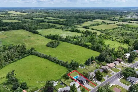
$579,900
Reduced $20,000
3 bd2 ba8 pk1100-1500 ft²
1000 Cumberland Avenue
Northcrest Ward 5, Peterborough
Detached · MLS® X13740980 · RE/MAX HALLMARK EASTERN REALTY
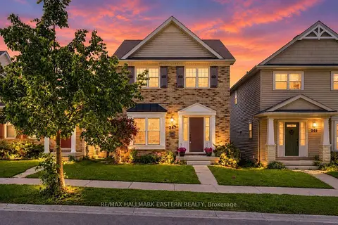
$579,900
Reduced $10,000
3 bd3 ba3 pk1100-1500 ft²
247 Bowen Drive
Northcrest Ward 5, Peterborough
Detached · MLS® X13831724 · RE/MAX HALLMARK EASTERN REALTY
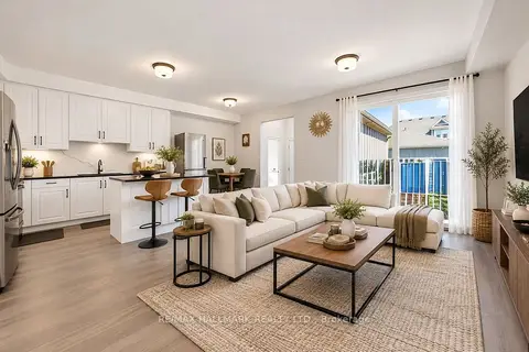
$585,999
3+1 bd4 ba2 pk1500-2000 ft²
80 Marsh Avenue 134
Northcrest Ward 5, Peterborough
Att/Row/Townhouse · MLS® X13759706 · RE/MAX HALLMARK REALTY LTD.
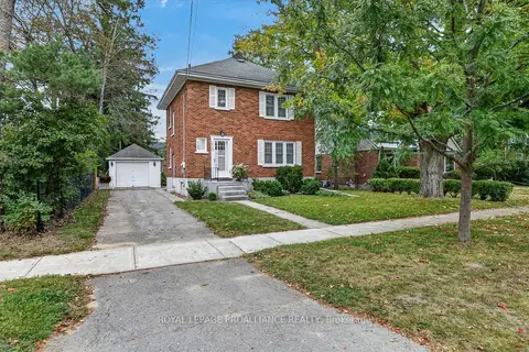
$590,000
Reduced $35,000
3 bd2 ba4 pk1500-2000 ft²
210 Aberdeen Avenue
Northcrest Ward 5, Peterborough
Detached · MLS® X13791694 · ROYAL LEPAGE PROALLIANCE REALTY
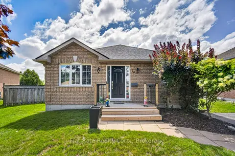
$570,000
3 bd2 ba3 pk700-1100 ft²
16 Ferguson Place
Northcrest Ward 5, Peterborough
Detached · MLS® X13875514 · Flat Rate Realty Corp.
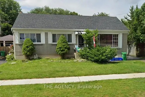
$565,000
3+3 bd2 ba2 pk700-1100 ft²
887 Philip Street
Northcrest Ward 5, Peterborough
Detached · MLS® X13843256 · THE AGENCY
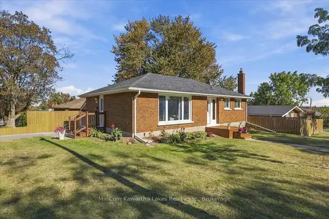
$564,900
3 bd1 ba3 pk700-1100 ft²
398 Applegrove Avenue
Northcrest Ward 5, Peterborough
Detached · MLS® X14034384 · MinCom Kawartha Lakes Realty Inc.
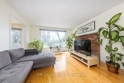 New
$599,000
3+3 bd2 ba5 pk700-1100 ft²
833 Fairbairn Street
Northcrest Ward 5, Peterborough
Detached · MLS® X14094932 · KW Living Realty