551 York Street
East K, London East, N6B 1R6
$1,349,000
Listed 13 days ago · MLS® X13873658
About this home
9,479 sq. ft. multi-use commercial building on York Street in London. It Consists of a 2,930 sq. ft. showroom, 2,930 sq. ft. second-floor office, and 3,619 sq. ft. warehouse with a truck-level door. RSC2 & RSC4 zoning allows a variety of uses e.g Daycare, personal service establishments, financial institutions, and much more Corner site with 2 entrances, well-located with convenient access to downtown and major routes. High visibility signage. Roof was replaced in 2021. Showroom and offices have been renovated. Office features 5 private rooms, executive boardroom, multiple washrooms, and a kitchenette. On site shower. PERMITTED USES: Automotive Repair garages, Automotive Rental establishments, DAYCARE centres, Animal clinics, kennels. Convenience stores, convenience services, bulk beverage, catalogue, home & auto supply, home improvement & furnishing, florist, bake shops, financial institutions, personal services, duplicating, dry cleaning & laundry, restaurants, studios, video rental, self-storage establishments. (RSC2,RSC4)
Details
- Type
- Commercial Retail
- Lot
- 112.84 × 162.41 ft
- Garage
- Outside/Surface
- Property tax
- $29,926 (2026)
- Neighbourhood
- East K
- Municipality
- London East
Heating, cooling and services
- Heating
- Gas Forced Air Closed
- Air conditioning
- Yes
- Utilities
- Yes
Building and exterior
- Building area
- 9,479 Square Feet
More
- Possession
- TBD
- Cross street
- YORK ST / WILLIAM ST
Location
Location is approximate. See nearby homes on the map
Recent sales nearby
See what similar homes within 1 km sold for in the last year. Create a free account or sign in to see them.
The neighbourhood
Getting around Somewhat walkable
No subway, LRT or GO station within a short trip.
Within a 10-minute walk: no grocery stores, 18 cafés and restaurants, 3 parks. Nearest park: Campbell Memorial Park (700 m).
Schools nearby
Elementary
- Aberdeen Public School
EQAO: Gr 6 reading 65%, math 33%8 min walk - Lord Roberts Public School14 min walk
- Trafalgar Public School
EQAO: Gr 6 reading 52%, math 9%1.7 km - St George's Public School Catholic
EQAO: Gr 6 reading 90%, math 81%1.9 km
Secondary
- H.B. Beal Secondary School
EQAO: Gr 9 math 56%, literacy test 79%4 min walk - St. Mary's Catholic School Catholic6 min walk
- Catholic Central High School Catholic
EQAO: Gr 9 math 57%, literacy test 89%8 min walk
EQAO: share of students meeting the provincial standard (2024–25). Ontario average: Gr 6 reading 86%, math 51%; Gr 9 math 55%; literacy test 83%.
Closest schools, not school zones. Check which school serves this address with the school board before relying on it.
Who lives here postal area N6B
- Owners / renters
- 23% / 77%
- Median household income
- $49,200
- Average age
- 42
- Children under 15
- 8%
- Homes
- 13% detached, 42% high-rise
- Commute by transit
- 14%
- Population
- 11,101
Languages spoken most at home besides English: Spanish 1.1%, Portuguese 0.8%, Arabic 0.6%, Polish 0.5%.
Safety
Crime Severity Index for London police: 73 vs 57 for Ontario (2025).
Police-reported figures for the whole police service area, not this street. Rates use the area’s resident population.
Distances are approximate. Places © OpenStreetMap contributors. Neighbourhood figures: Statistics Canada, 2021 Census. School results: EQAO via Ontario Data Catalogue (Open Government Licence – Ontario). Crime Severity Index: Statistics Canada.
Living here
Commute
To downtown London: 1 km. Transit times · Driving times
Noise 1 source nearby
- 🚆 Rail line (Dundas Subdivision)50 m
Distances from the map, not noise measurements. Visit at rush hour to judge for yourself.
Internet High-speed
50/10 Mbps or faster available here by cable, fibre or DSL (the federal high-speed target).
From the federal broadband map. Check exact speeds and providers for the address.
Roads, rail, airports and planned stations © OpenStreetMap contributors. Internet: Innovation, Science and Economic Development Canada, National Broadband Data.
Listed by RE/MAX METROPOLIS REALTY.
Listing information provided by PropTx Innovations Inc. and TRREB; deemed reliable but not guaranteed accurate by PropTx.
Similar homes nearby
See more in London East
$1,299,999
4 ba
119 Dundas Street
East K, London East
Store W Apt/Office · MLS® X13645858 · THRIVE REALTY GROUP INC.
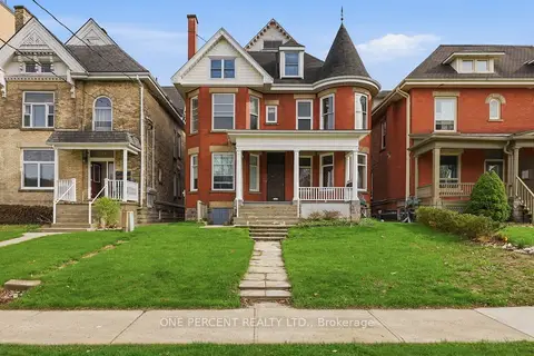
$1,299,999
305 Central Avenue
East F, London East
Investment · MLS® X13211624 · ONE PERCENT REALTY LTD.
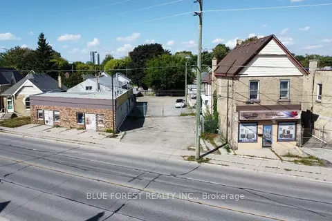
$1,400,000
350 Hamilton Road
East L, London East
Commercial Retail · MLS® X13877158 · BLUE FOREST REALTY INC.
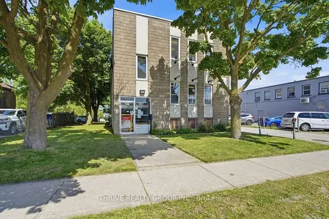
$1,424,990
426 Third Street
East H, London East
Office · MLS® X13228640 · THRIVE REALTY GROUP INC.
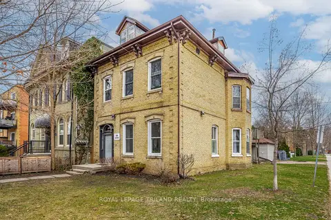
$1,249,000
434 Dufferin Avenue
East F, London East
Investment · MLS® X13830986 · ROYAL LEPAGE TRILAND REALTY
$1,495,000
162-164 Mill Street
East F, London East
Land · MLS® X13417756 · RE/MAX ADVANTAGE REALTY LTD.

$1,199,999
2061 Dundas Street S
East I, London East
Land · MLS® X13590034 · CITYSCAPE REAL ESTATE LTD.
$1,499,900
697 Hale Street
East N, London East
Investment · MLS® X13676564 · RIGHT AT HOME REALTY