532 Rogers Street
Ashburnham Ward 4, Peterborough, K9H 1X2
$289,900
Reduced $60,100 from $350,000
- 2 bedrooms
- 1 bathrooms
- 3 parking
- 700-1100 sq ft
Listed 42 days ago · MLS® X13753520
About this home
Welcome to 532 Rogers Street, a cozy detached bungalow nestled in Peterborough's desirable Ashburnham Ward. Perfectly suited as a starter home or a manageable space fore retirees, this property makes excellent use of its footprint. The home features two comfortable bedrooms, one bathroom, and a partial basement. Comfort is supported year-round with forced air gas heating and municipal sewer services. Situated on an exceptionally deep 24.75 x 225 foot lot, the outdoor space provides plenty of room for your imagination. The home features a classic metal siding, exterior and includes a separated detached workshop that is perfect for hobbies, tinkering or extra storage. Potential to build a carriage house in back yard, buyer must verifie with city.
Details
- Type
- Detached
- Style
- Bungalow
- Age
- 100+ years
- Size
- 700-1100 sq ft
- Lot
- 24.75 × 225 ft
- Basement
- Crawl Space, Partial Basement
- Garage
- None
- Kitchens
- 1
- Property tax
- $2,250 (2025)
- Neighbourhood
- Ashburnham Ward 4
- Municipality
- Peterborough
- Price per sq ft
- $322 (28% below detached houses in Ashburnham Ward 4, $450)
Interior
- Bedrooms
- 2 above ground
- Bathrooms
- 1 × 4-piece (main)
- Rooms
- 8 above ground
- Family room or den
- No
- Fireplace
- No
- Features
- Water Heater, Water Meter
Heating, cooling and services
- Heating
- Forced Air, Gas
- Water and sewer
- Sewer
Building and exterior
- Style
- Bungalow
- Exterior
- Metal/Steel Siding
- Roof
- Asphalt Shingle
- Foundation
- Stone
- Age
- 100+
- Faces
- East
Parking
- Total parking
- 3
- Driveway and parking
- Mutual
Lot
- Size
- 24.75 × 225 ft (rectangular)
More
- Possession
- TBD
- Cross street
- Roger St/Clifton St
Location
Location is approximate. See nearby homes on the map
Recent sales nearby
See what similar homes within 1 km sold for in the last year. Create a free account or sign in to see them.
The neighbourhood
Getting around Walkable
No subway, LRT or GO station within a short trip.
Within a 10-minute walk: 2 grocery stores, 17 cafés and restaurants, 9 parks, 3 pharmacies. Nearest grocery: Foodland (400 m). Nearest park: Ruby Brady Memorial Park (250 m).
Schools nearby
Elementary
- Kaawaate East City Public School
EQAO: Gr 6 reading 85%, math 32%6 min walk - Armour Heights Public School7 min walk
- Immaculate Conception Catholic Elementary School Catholic
EQAO: Gr 6 reading 89%, math 39%10 min walk - Monsignor O'Donoghue Catholic Elementary School Catholic
EQAO: Gr 6 reading 72%, math 44%1.7 km
Secondary
- Peterborough Alternative and Continuing Education17 min walk
- Adam Scott Collegiate and Vocational Institute
EQAO: Gr 9 math 53%, literacy test 85%2.0 km - Thomas A. Stewart Secondary School
EQAO: Gr 9 math 49%, literacy test 76%2.3 km
EQAO: share of students meeting the provincial standard (2024–25). Ontario average: Gr 6 reading 86%, math 51%; Gr 9 math 55%; literacy test 83%.
Closest schools, not school zones. Check which school serves this address with the school board before relying on it.
Who lives here postal area K9H
- Owners / renters
- 53% / 47%
- Median household income
- $64,000
- Average age
- 44
- Children under 15
- 13%
- Homes
- 53% detached, 3% high-rise
- Commute by transit
- 5%
- Population
- 29,704
Languages spoken most at home besides English: Arabic 0.4%, Hindi 0.2%, Mandarin 0.2%, Korean 0.2%.
Safety
Crime Severity Index for Peterborough police: 68 vs 57 for Ontario (2025).
Police-reported figures for the whole police service area, not this street. Rates use the area’s resident population.
Distances are approximate. Places © OpenStreetMap contributors. Neighbourhood figures: Statistics Canada, 2021 Census. School results: EQAO via Ontario Data Catalogue (Open Government Licence – Ontario). Crime Severity Index: Statistics Canada.
Living here
Commute
Noise Nothing major nearby
No highway within 500 m, rail line within 300 m, or airport flight path nearby.
Distances from the map, not noise measurements. Visit at rush hour to judge for yourself.
Internet High-speed
50/10 Mbps or faster available here by cable, fibre or DSL (the federal high-speed target).
From the federal broadband map. Check exact speeds and providers for the address.
Roads, rail, airports and planned stations © OpenStreetMap contributors. Internet: Innovation, Science and Economic Development Canada, National Broadband Data.
Listed by RE/MAX HALLMARK EASTERN REALTY.
Listing information provided by PropTx Innovations Inc. and TRREB; deemed reliable but not guaranteed accurate by PropTx.
Similar homes nearby
See more in Peterborough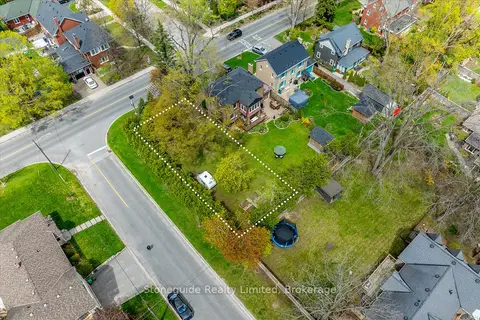
$299,900
0 bd0 ba2 pk< 700 ft²
665 Weller Street
Town Ward 3, Peterborough
Vacant Land · MLS® X13477640 · Stoneguide Realty Limited
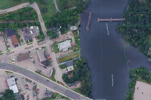
$275,000
0 bd0 ba1 pk
842 Haggart Street
Town Ward 3, Peterborough
Vacant Land · MLS® X14088406 · Coldwell Banker Electric Realty
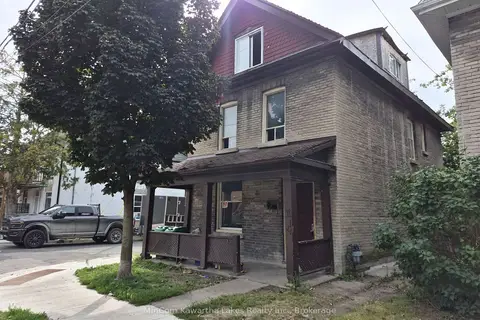
$254,900
4 bd4 ba< 700 ft²
467 ALBERT Street
Town Ward 3, Peterborough
Detached · MLS® X13700212 · MinCom Kawartha Lakes Realty Inc.