525 Bloor Street E Lower
North St. James Town, Toronto, M4W 1J1
$7,178/mo
Listed 69 days ago · MLS® C13665722
About this home
Opportunity Knocks With A Chance To Claim A Meticulously Curated 4306 Square Feet Of Commercial Space In The Modern Addition (2006) Of A Landmark Property at The Heart Of Toronto . This space has it's own Separate Entrance On The North/West Corner of the building. The Iconic St. Peter & St. Simon the Apostle Church Is Not Only A Breathtakingly Beautiful Building boasting A Pedigree Dating Over One Hundred Years (Circa 1886) It is Also Strategically Located On The Bustling Bloor Street East Corridor Mere Steps Away From The Sherbourne Subway Station. This Heritage Building Now Ready To Be The Home Of Your Organization, Guaranteed To To Give You That "WOW" Factor. Don't Miss Your Opportunity At This Exclusive Space, Boasting An Airy Loft-Styled Design Feel it was Originally Built As A Spacious Gym With Soaring Ceilings, Exposed Brick, & Large Above Grade Windows. Over 4000 Square Feet Of Interior Space With Essential Amenities Such As Men's & Women's Bathrooms and Shower Facilities, Dedicated A.C. Unit, Laundry AND Office Space. This Open Concept Multi-Tiered Floor Plan Boasts 12 Foot Clear Height Is Guaranteed To Impress, Within Walking Distance To Restaurants, Retail Shopping, Cafes, Greenspace And Other Essentials, Come And Explore This Exclusive Location For Yourself. The Rent Is Based On $10 PSF Net and $10 PSF CAM, Space Is Ideal For A Non-Profit Community Based User (charitable, religious, non-profit, Community Health services/clinic, medical, plus many more possibilities.)
Details
- Type
- Commercial Retail
- Garage
- None
- Neighbourhood
- North St. James Town
- Municipality
- Toronto C08
Heating, cooling and services
- Heating
- Steam Radiators
- Air conditioning
- Yes
- Water and sewer
- Sanitary
- Utilities
- Yes
Building and exterior
- Building area
- 4,306 Square Feet
Rental terms
- Minimum term
- 60 months
More
- Possession
- TBD
- Cross street
- Bloor & Sherbourne
Location
Location is approximate. See nearby homes on the map
The neighbourhood
Getting around Very walkable
- 🚇 Sherbourne Subway3 min walk
- 🚇 Castle Frank Subway7 min walk
- 🚆 Toronto Union Station GO3.1 km
Within a 10-minute walk: 12 grocery stores, 98 cafés and restaurants, 25 parks, 18 pharmacies. Nearest grocery: Wan2 supermarket (200 m). Nearest park: Dr. Gordon Chong park (100 m).
Schools nearby
Elementary
- Rose Avenue Junior Public School
EQAO: Gr 6 reading 67%, math 14%4 min walk - Our Lady of Lourdes Catholic School Catholic
EQAO: Gr 6 reading 80%, math 43%11 min walk - Winchester Junior and Senior Public School
EQAO: Gr 6 reading 89%, math 57%11 min walk - Rosedale Junior Public School
EQAO: Gr 6 reading 100%, math 100%13 min walk
Secondary
- Msgr Fraser College - Isabella Campus Catholic5 min walk
- Rosedale Heights School of the Arts
EQAO: Gr 9 math 66%, literacy test 95%10 min walk - Jarvis Collegiate Institute
EQAO: Gr 9 math 34%, literacy test 80%11 min walk
EQAO: share of students meeting the provincial standard (2024–25). Ontario average: Gr 6 reading 86%, math 51%; Gr 9 math 55%; literacy test 83%.
Closest schools, not school zones. Check which school serves this address with the school board before relying on it.
Who lives here postal area M4W
- Owners / renters
- 56% / 44%
- Median household income
- $104,000
- Average age
- 45
- Children under 15
- 9%
- Homes
- 18% detached, 63% high-rise
- Commute by transit
- 25%
- Population
- 15,296
Languages spoken most at home besides English: Mandarin 2.8%, Iranian Persian 1%, Spanish 0.9%, Korean 0.8%.
Flood and conservation No mapped hazard
Not inside a mapped flood plain or regulated area.
Screening maps only. Ask the conservation authority for a property inquiry before relying on this.
Safety
Major crime per resident in North St.James Town (2025): 24% above the Toronto average, about the same from the year before.
- Assault67% above average
- Break and enterabout average
- Auto theft62% below average
- Robberyabout average
- Theft from vehicles35% below average
- Shootings48% below average
Crime Severity Index for Toronto police: 60 vs 57 for Ontario (2025).
Police-reported figures for the whole neighbourhood, not this street. Rates use the area’s resident population.
Development nearby 13 active
-
38 HUNTLEY ST · 450 mSite Plan · Under Review · applied 2025To permit the construction of two buildings, with building heights of 56 and 60 storeys and approximately 1,362 dwelling units, and a POPS. The project retains…Application details
-
240 WELLESLEY ST E · 500 mPlan of Subdivision · Under Review · applied 2024Draft Plan of Subdivision to establish two development blocks with pedestrian and vehicular connections into and through the subject site. A new public park…Application details
-
8 EARL ST · 450 mSite Plan · Under Review · applied 2024Site Plan Application to permit a 63-storey residential building including a total of 50,580.8 square metres of residential gross floor area which will result…Application details
-
8 EARL ST · 450 mOfficial Plan / Zoning By-law Amendment · Council Approved · applied 2024Official Plan and Zoning By-law Amendment to permit a 63-storey (207-metre, excluding mechanical penthouse) building, containing 709 total dwelling units…Application details
-
141 ISABELLA ST · 350 mOfficial Plan / Zoning By-law Amendment · OMB Appeal · applied 2024Zoning By-law Amendment for a 69-storey residential building containing 823 dwelling units. The existing 7-storey apartment building and 3-storey single…Application details
-
135 ISABELLA ST · 400 mSite Plan · Under Review · applied 2023Proposed 69 storey residential building with 770 units.Application details
16 more within 500 m.
Rezoning, site plan, subdivision and condominium applications filed with the city.
Distances are approximate. Places © OpenStreetMap contributors. Neighbourhood figures: Statistics Canada, 2021 Census. School results: EQAO via Ontario Data Catalogue (Open Government Licence – Ontario). Neighbourhood crime: Toronto Police Service Public Safety Data Portal (Open Government Licence – Toronto Police Service). Crime Severity Index: Statistics Canada. Planning applications: City of Toronto open data.
Living here
Commute
To Union Station (downtown Toronto): 3 km. Transit times · Driving times
Coming transit
- 🚧 Moss Park 2.0 km
Stations under construction or approved. Opening dates are the latest public estimates and often move.
Noise Nothing major nearby
No highway within 500 m, rail line within 300 m, or airport flight path nearby.
Distances from the map, not noise measurements. Visit at rush hour to judge for yourself.
Heritage Protected
This address is on Toronto’s Heritage Register: Designated (Part IV). Changes to the outside (and sometimes inside) usually need a heritage permit, and demolition is restricted.
Building permits
- Fire Alarm · 2023 · ClosedFire Alarm Panel Replacement: existing panel is defective; existing devices will be replaced as required to provide compatibility with new…
- Interior Alterations · 2022 · ClosedInterior alterations the existing daycare in the Place of Worship (St. Peter and St Simon-the-Apostle Anglican Church)
Permits filed with the City of Toronto. A permit doesn’t mean the work passed final inspection.
Trees
54 City street trees within 100 m, mostly maples. That’s more than the Toronto average of 42.
Trees on City boulevards only, not private yards or parks.
Internet High-speed
50/10 Mbps or faster available here by cable, fibre or DSL (the federal high-speed target).
From the federal broadband map. Check exact speeds and providers for the address.
Zoning, heritage, building permits and street trees: City of Toronto open data (Open Government Licence – Toronto). Roads, rail, airports and planned stations © OpenStreetMap contributors. Internet: Innovation, Science and Economic Development Canada, National Broadband Data.
Listed by FOREST HILL REAL ESTATE INC..
Listing information provided by PropTx Innovations Inc. and TRREB; deemed reliable but not guaranteed accurate by PropTx.
Similar homes nearby
See more in Toronto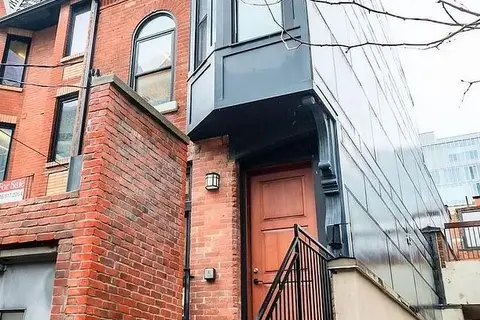
$7,200/mo
2 ba
54 1/2 ST PATRICK Street
Kensington-Chinatown, Toronto
Office · MLS® C13730862 · ROYAL LEPAGE REAL ESTATE SERVICES LTD.
$7,200/mo
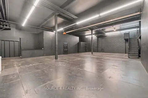
1110 Dupont Street Unit G
Dovercourt-Wallace Emerson-Junction, Toronto
Commercial Retail · MLS® W13627324 · SOURCE 4 REALTY INC.
$7,020/mo
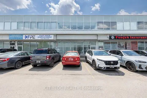
7003 Steeles Avenue W 12 MAIN
West Humber-Clairville, Toronto
Industrial · MLS® W13490010 · CITIBLOC REALTY
$7,000/mo
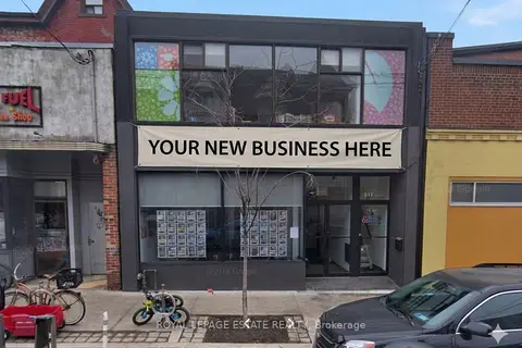
517 Parliament Street Main Floor
Cabbagetown-South St. James Town, Toronto
Commercial Retail · MLS® C13479264 · ROYAL LEPAGE ESTATE REALTY
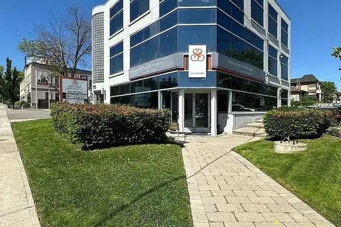
$7,000/mo
2 ba
175 Willowdale Avenue 300
Willowdale East, Toronto
Office · MLS® C13849404 · SOLTANIAN REAL ESTATE INC.
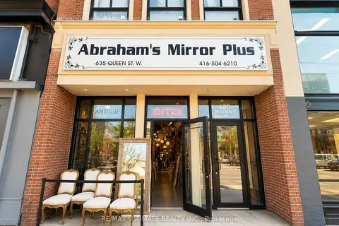 New
$7,000/mo
635 Queen Street W Main
Waterfront Communities C1, Toronto
Commercial Retail · MLS® C14099476 · RE/MAX ULTIMATE REALTY INC.
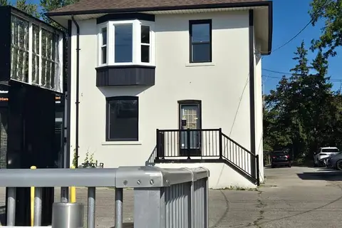
$7,000/mo
4142B Sheppard Avenue E
Agincourt South-Malvern West, Toronto
Commercial Retail · MLS® E13571134 · HOMELIFE LANDMARK REALTY INC.
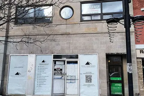
$7,000/mo
2 ba
2820 Danforth Avenue MAIN FLOOR
East End-Danforth, Toronto
Commercial Retail · MLS® E13714964 · ROYAL LEPAGE REAL ESTATE SERVICES LTD.