51 Queen Street S
557 - Thorold Downtown, Thorold, L2V 3N2
$419,900
- 3 bedrooms
- 1 bathrooms
- 2 parking
- 700-1100 sq ft
Listed 6 days ago · MLS® X14031592
About this home
Welcome to 51 Queen Street in the heart of Thorold, a beautifully renovated 3-bedroom home that's move-in ready from top to bottom. Thoughtfully updated throughout, this home features a brand-new kitchen, an updated bathroom, new flooring, and a bright, refreshed interior that blends modern finishes with everyday functionality. The basement has also been professionally waterproofed, providing added peace of mind for years to come. Whether you're a first-time buyer, down-sizer, or investor, this is an excellent opportunity to own a turnkey home in a convenient location close to schools, parks, shopping, Brock University, and highway access. Simply move in and enjoy.
Details
- Type
- Detached
- Style
- Bungalow
- Size
- 700-1100 sq ft
- Lot
- 33 × 132 ft
- Basement
- Unfinished
- Garage
- None
- Kitchens
- 1
- Property tax
- $2,646 (2026)
- Neighbourhood
- 557 - Thorold Downtown
- Municipality
- Thorold
- Price per sq ft
- $467 (8% above detached houses in 557 - Thorold Downtown, $432)
Interior
- Bedrooms
- 3 above ground
- Bathrooms
- 1 × 4-piece (main)
- Rooms
- 7 above ground
- Family room or den
- No
- Fireplace
- No
Heating, cooling and services
- Heating
- Forced Air, Gas
- Air conditioning
- Central Air
- Water and sewer
- Sewer
Building and exterior
- Style
- Bungalow
- Exterior
- Stucco (Plaster)
- Roof
- Asphalt Shingle
- Foundation
- Concrete
- Faces
- West
Parking
- Total parking
- 2
Lot
- Size
- 33 × 132 ft
More
- Possession
- Flexible
- Cross street
- Maitland and Pine
History of this address
5 earlier listings at this address, with sold and leased prices. Create a free account or sign in to see them.
Location
Location is approximate. See nearby homes on the map
Recent sales nearby
See what similar homes within 1 km sold for in the last year. Create a free account or sign in to see them.
The neighbourhood
Getting around Somewhat walkable
No subway, LRT or GO station within a short trip.
Within a 10-minute walk: 1 grocery store, 4 cafés and restaurants, 1 park, 2 pharmacies. Nearest grocery: Foodland (500 m). Nearest park: Battle of Beaverdams Park (400 m).
Schools nearby
Elementary
- Prince of Wales Public School
EQAO: Gr 6 reading 95%, math 53%4 min walk - St. Charles Catholic Elementary School Catholic9 min walk
- Westmount Public School
EQAO: Gr 6 reading 96%, math 61%11 min walk - Richmond Street Public School
EQAO: Gr 6 reading 90%, math 81%14 min walk
Secondary
- Monsignor Clancy Catholic Elementary School Catholic15 min walk
- Thorold Secondary School
EQAO: Gr 9 math 66%, literacy test 92%16 min walk - Royal Imperial Collegiate of Canada Private2.4 km
EQAO: share of students meeting the provincial standard (2024–25). Ontario average: Gr 6 reading 86%, math 51%; Gr 9 math 55%; literacy test 83%.
Closest schools, not school zones. Check which school serves this address with the school board before relying on it.
Who lives here postal area L2V
- Owners / renters
- 68% / 32%
- Median household income
- $80,000
- Average age
- 40
- Children under 15
- 16%
- Homes
- 66% detached, 2% high-rise
- Commute by transit
- 3%
- Population
- 19,795
Languages spoken most at home besides English: Mandarin 1.3%, Italian 0.9%, Spanish 0.7%, Punjabi (Panjabi) 0.5%.
Flood and conservation No mapped hazard
Not inside a mapped flood plain or regulated area in Niagara Peninsula Conservation’s mapping.
Screening maps only. Ask the conservation authority for a property inquiry before relying on this.
Safety
Crime Severity Index for Niagara Region (St. Catharines) police: 54 vs 57 for Ontario (2025).
Police-reported figures for the whole police service area, not this street. Rates use the area’s resident population.
Distances are approximate. Places © OpenStreetMap contributors. Neighbourhood figures: Statistics Canada, 2021 Census. School results: EQAO via Ontario Data Catalogue (Open Government Licence – Ontario). Flood and regulation mapping: Niagara Peninsula Conservation open data. Crime Severity Index: Statistics Canada.
Living here
Commute
To Union Station (downtown Toronto): 60 km. Transit times · Driving times
Noise Nothing major nearby
No highway within 500 m, rail line within 300 m, or airport flight path nearby.
Distances from the map, not noise measurements. Visit at rush hour to judge for yourself.
Internet High-speed
50/10 Mbps or faster available here by cable, fibre or DSL (the federal high-speed target).
From the federal broadband map. Check exact speeds and providers for the address.
Roads, rail, airports and planned stations © OpenStreetMap contributors. Internet: Innovation, Science and Economic Development Canada, National Broadband Data.
Listed by ROYAL LEPAGE NRC REALTY.
Listing information provided by PropTx Innovations Inc. and TRREB; deemed reliable but not guaranteed accurate by PropTx.
Similar homes nearby
See more in Thorold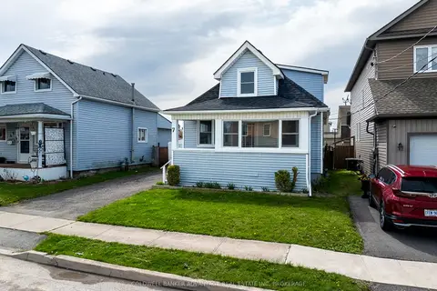
$439,900
3 bd1 ba2 pk1100-1500 ft²
7 Battle Street
557 - Thorold Downtown, Thorold
Detached · MLS® X13742642 · COLDWELL BANKER ADVANTAGE REAL ESTATE INC, BROKERAGE
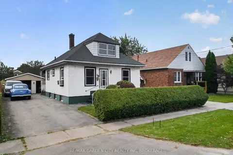
$399,800
3+1 bd2 ba7 pk1100-1500 ft²
19 Cunningham Street
557 - Thorold Downtown, Thorold
Detached · MLS® X13794242 · RE/MAX GARDEN CITY REALTY INC, BROKERAGE
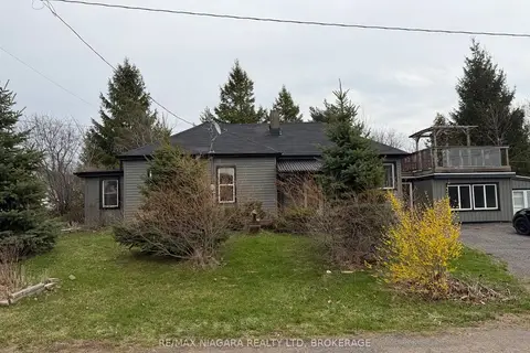
$399,000
Reduced $100,000
2 bd1 ba3 pk700-1100 ft²
43 Marlatts Road
557 - Thorold Downtown, Thorold
Detached · MLS® X13155884 · RE/MAX NIAGARA REALTY LTD, BROKERAGE
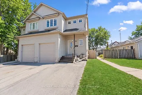
$453,900
Reduced $14,100
4+2 bd3 ba5 pk1100-1500 ft²
2 Townline Road E
557 - Thorold Downtown, Thorold
Semi-Detached · MLS® X13614098 · RE/MAX HENDRIKS TEAM REALTY
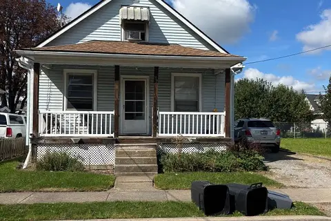
$349,900
3 bd1 ba4 pk1100-1500 ft²
37 Battle Street
557 - Thorold Downtown, Thorold
Detached · MLS® X13808298 · ROYAL LEPAGE NRC REALTY
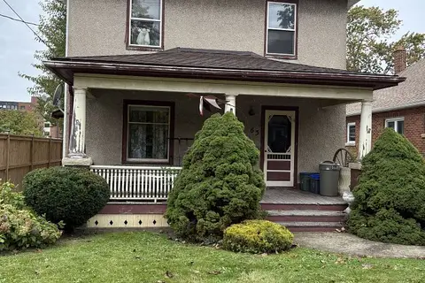 New
$349,000
4 bd1 ba6 pk1500-2000 ft²
63 Carleton Street S
557 - Thorold Downtown, Thorold
Detached · MLS® X14093934 · REVEL Realty Inc., Brokerage
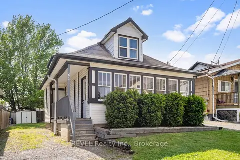
$344,900
2 bd1 ba3 pk1100-1500 ft²
61 Patricia Street
557 - Thorold Downtown, Thorold
Detached · MLS® X13815868 · REVEL Realty Inc., Brokerage
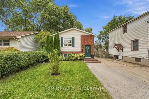
$499,900
2+2 bd2 ba5 pk700-1100 ft²
28 Maitland Street
557 - Thorold Downtown, Thorold
Detached · MLS® X14080992 · EXP REALTY