5000 Dundas Street W
Islington-City Centre West, Toronto, M9A 1B8
$2,999,999
Listed 3 days ago · MLS® W14089040
About this home
**PARKING LOT + PART BUILDING** Welcome to 5000, 4992 & 4990 Dundas St W - An incredible opportunity to own a 14 space parking lot + part of a freestanding building!!! 4990 Dundas St consists of 2 Lower Retail Units and 3 Upper Residential Units that are fully rented. PLUS you have the addition of including the property at 5000 Dundas St - which is a 14 space parking lot to compliment the entire portfolio. This area is experiencing a great amount of growth, turnover and re-development by way of mixed use condo development. Buy now and collect rental income, renovate and rejuvenate, OR assemble and develop in the future. A lot of possibilities await!
Details
- Type
- Commercial Retail
- Lot
- 55.25 × 94.75 ft
- Garage
- Outside/Surface
- Property tax
- $15,000 (2026)
- Neighbourhood
- Islington-City Centre West
- Municipality
- Toronto W08
Heating, cooling and services
- Heating
- Gas Hot Water
- Air conditioning
- Partial
- Water and sewer
- Sanitary
- Utilities
- Available
Building and exterior
- Building area
- 4,607 Square Feet
More
- Possession
- TBA
- Cross street
- Islington And Dundas
Location
Location is approximate. See nearby homes on the map
Recent sales nearby
See what similar homes within 1 km sold for in the last year. Create a free account or sign in to see them.
The neighbourhood
Getting around Very walkable
- 🚇 Islington Subway8 min walk
- 🚇 Kipling Subway16 min walk
- 🚆 Kipling GO1.3 km
Within a 10-minute walk: 6 grocery stores, 34 cafés and restaurants, 4 parks, 8 pharmacies. Nearest grocery: Apna Food Bazaar (350 m). Nearest park: Michael Power Park (150 m).
Schools nearby
Elementary
- Islington Junior Middle School
EQAO: Gr 6 reading 84%, math 41%4 min walk - Filipok Russian Junior School5 min walk
- Our Lady of Peace Catholic School Catholic
EQAO: Gr 6 reading 84%, math 60%13 min walk - Our Lady of Sorrows Catholic School Catholic
EQAO: Gr 6 reading 95%, math 75%15 min walk
Secondary
- Etobicoke Collegiate Institute
EQAO: Gr 9 math 73%, literacy test 90%12 min walk
EQAO: share of students meeting the provincial standard (2024–25). Ontario average: Gr 6 reading 86%, math 51%; Gr 9 math 55%; literacy test 83%.
Closest schools, not school zones. Check which school serves this address with the school board before relying on it.
Who lives here postal area M9A
- Owners / renters
- 51% / 49%
- Median household income
- $93,000
- Average age
- 44
- Children under 15
- 13%
- Homes
- 32% detached, 58% high-rise
- Commute by transit
- 24%
- Population
- 36,642
Languages spoken most at home besides English: Spanish 2.3%, Ukrainian 2.1%, Portuguese 1.7%, Korean 1.5%.
Flood and conservation No mapped hazard
Not inside a mapped flood plain or regulated area.
Screening maps only. Ask the conservation authority for a property inquiry before relying on this.
Safety
Major crime per resident in Islington (2025): 28% below the Toronto average, down 24% from the year before.
- Assault49% below average
- Break and enter55% above average
- Auto theft24% below average
- Robbery50% below average
- Theft from vehicles32% below average
- Shootings56% below average
Crime Severity Index for Toronto police: 60 vs 57 for Ontario (2025).
Police-reported figures for the whole neighbourhood, not this street. Rates use the area’s resident population.
Development nearby 10 active
-
1276 ISLINGTON AVE · 450 mSite Plan · Under Review · applied 2026Proposed infill development of a 35-storey, 25,700.63 square-metre, purpose-built rental building containing 375 residential units, and 262 parking spaces…Application details
-
4875 DUNDAS ST W · 450 mOfficial Plan / Zoning By-law Amendment · OMB Appeal · applied 2024Official Plan Amendment and Zoning By-law Amendment application to permit a 45-storey mixed use building with a 4-storey podium. The proposal includes a total…Application details
-
25 MABELLE AVE · 350 mSite Plan · OMB Appeal · applied 2022Proposal to redevelop the site with a 49 storey mixed use building containing 79 square metres of retail gross floor area, 580 residential condominium units…Application details
-
4894 DUNDAS ST W · 350 mSite Plan · Under Review · applied 2022Site Plan Application reflecting Settlement Proposal to permit a 25-storey residential tower with at-grade retail use for OZ/OPA File No. 22 139836 WET 03 OZ.Application details
-
4894 DUNDAS ST W · 350 mOfficial Plan / Zoning By-law Amendment · OMB Appeal · applied 2022Official Plan and Zoning By-law Amendment for a 25-storey mixed-use building that includes 398 dwelling units and 4,817 square metres of institutional space…Application details
-
49 BURNHAMTHORPE CRES · 250 mSite Plan · NOAC Issued · applied 2022Proposal for the redevelopment of the subject site with four three-storey apartment buildings, wellness centre building and below grade parking structure. The…Application details
10 more within 500 m.
Rezoning, site plan, subdivision and condominium applications filed with the city.
Distances are approximate. Places © OpenStreetMap contributors. Neighbourhood figures: Statistics Canada, 2021 Census. School results: EQAO via Ontario Data Catalogue (Open Government Licence – Ontario). Neighbourhood crime: Toronto Police Service Public Safety Data Portal (Open Government Licence – Toronto Police Service). Crime Severity Index: Statistics Canada. Planning applications: City of Toronto open data.
Living here
Commute
To Union Station (downtown Toronto): 12 km. Transit times · Driving times
Noise Nothing major nearby
No highway within 500 m, rail line within 300 m, or airport flight path nearby.
Distances from the map, not noise measurements. Visit at rush hour to judge for yourself.
Trees
51 City street trees within 100 m, mostly maples. That’s about the Toronto average of 42.
Trees on City boulevards only, not private yards or parks.
Internet High-speed
50/10 Mbps or faster available here by cable, fibre or DSL (the federal high-speed target).
From the federal broadband map. Check exact speeds and providers for the address.
Zoning, heritage, building permits and street trees: City of Toronto open data (Open Government Licence – Toronto). Roads, rail, airports and planned stations © OpenStreetMap contributors. Internet: Innovation, Science and Economic Development Canada, National Broadband Data.
Listed by VERTICAL MARKETING REALTY.
Listing information provided by PropTx Innovations Inc. and TRREB; deemed reliable but not guaranteed accurate by PropTx.
Similar homes nearby
See more in Toronto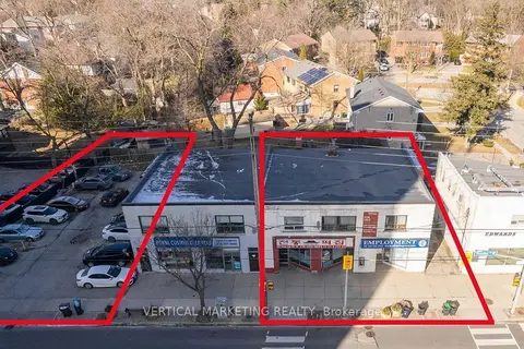
$2,999,999
4990 Dundas Street W
Islington-City Centre West, Toronto
Commercial Retail · MLS® W14089092 · VERTICAL MARKETING REALTY
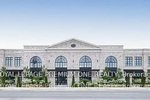
$3,480,990
66 Jutland Road 6
Islington-City Centre West, Toronto
Office · MLS® W12773886 · ROYAL LEPAGE PREMIUM ONE REALTY
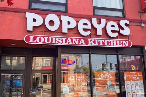
$2,999,999
1167 St Clair Avenue W
Corso Italia-Davenport, Toronto
Commercial Retail · MLS® W13576652 · YOUR ADVOCATES REALTY INC.
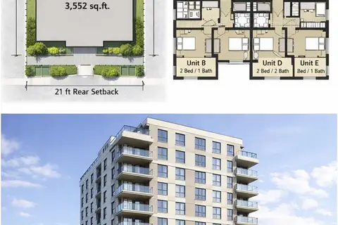
$3,000,000
483-485 Wilson Avenue
Clanton Park, Toronto
Land · MLS® C13004800 · HOME LEADER REALTY INC.
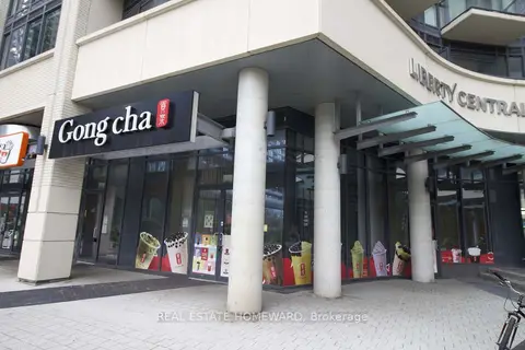
$3,000,000
49 East Liberty Street 1
Niagara, Toronto
Commercial Retail · MLS® C13588038 · REAL ESTATE HOMEWARD
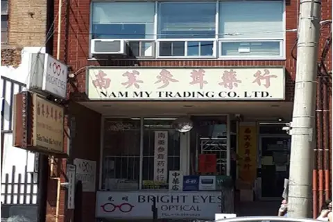
$2,999,900
Reduced $128,100
3 ba
480 Dundas Street W
Kensington-Chinatown, Toronto
Commercial Retail · MLS® C7375784 · HOMELIFE NEW WORLD REALTY INC.
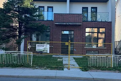
$2,999,000
Reduced $300,000
145 Dovercourt Road
Trinity-Bellwoods, Toronto
Investment · MLS® C13825514 · RE/MAX WEST REALTY INC.
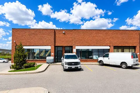
$2,999,000
130 Dynamic Drive 20-21
Milliken, Toronto
Industrial · MLS® E13112018 · AVISON YOUNG COMMERCIAL REAL ESTATE SERVICES, LP