1167 St Clair Avenue W
Corso Italia-Davenport, Toronto, M6E 1B2
$2,999,999
Listed 95 days ago · MLS® W13576652
About this home
Highly desirable multi-use building in Corso Italia, with amazing commercial tenant. . Fully leased with street car access directly in front of building. 2 apartments on the second floor. Vendor willing to consider VTB.
Details
- Type
- Commercial Retail
- Lot
- 21 × 100 ft
- Garage
- Lane
- Property tax
- $15,002 (2026)
- Neighbourhood
- Corso Italia-Davenport
- Municipality
- Toronto W03
Heating, cooling and services
- Heating
- Gas Forced Air Open
- Air conditioning
- Yes
- Utilities
- Available
Building and exterior
- Building area
- 3,200 Square Feet
More
- Possession
- Immediate
- Cross street
- St. Clair Ave W. & Dufferin
Location
Location is approximate. See nearby homes on the map
Recent sales nearby
See what similar homes within 1 km sold for in the last year. Create a free account or sign in to see them.
The neighbourhood
Getting around Very walkable
- 🚇 Dufferin Subway2.0 km
- 🚇 Fairbank LRT2.1 km
- 🚆 Mount Dennis GO3.8 km
Within a 10-minute walk: 7 grocery stores, 68 cafés and restaurants, 14 parks, 12 pharmacies. Nearest grocery: Sun Sun Fruit Market (50 m). Nearest park: Santa Chiara Parkette (150 m).
Schools nearby
Elementary
- St. Clare Catholic School Catholic
EQAO: Gr 6 reading 70%, math 40%3 min walk - Stella Maris Catholic School Catholic
EQAO: Gr 6 reading 87%, math 60%4 min walk - Regal Road Junior Public School
EQAO: Gr 6 reading 88%, math 45%8 min walk - St. Mary of the Angels Catholic School Catholic
EQAO: Gr 6 reading 90%, math 59%10 min walk
Secondary
- Loretto College School Catholic4 min walk
- Oakwood Collegiate Institute
EQAO: Gr 9 math 44%, literacy test 88%8 min walk - Winona Drive Senior Public School16 min walk
EQAO: share of students meeting the provincial standard (2024–25). Ontario average: Gr 6 reading 86%, math 51%; Gr 9 math 55%; literacy test 83%.
Closest schools, not school zones. Check which school serves this address with the school board before relying on it.
Who lives here postal area M6E
- Owners / renters
- 55% / 45%
- Median household income
- $82,000
- Average age
- 42
- Children under 15
- 14%
- Homes
- 35% detached, 10% high-rise
- Commute by transit
- 34%
- Population
- 37,684
Languages spoken most at home besides English: Portuguese 10.7%, Spanish 5.2%, Italian 3.5%, Tagalog (Pilipino, Filipino) 3.2%.
Flood and conservation No mapped hazard
Not inside a mapped flood plain or regulated area.
Screening maps only. Ask the conservation authority for a property inquiry before relying on this.
Safety
Major crime per resident in Corso Italia-Davenport (2025): about the Toronto average, down 8% from the year before.
- Assault30% above average
- Break and enterabout average
- Auto theftabout average
- Robberyabout average
- Theft from vehicles53% above average
- Shootingsabout average
Crime Severity Index for Toronto police: 60 vs 57 for Ontario (2025).
Police-reported figures for the whole neighbourhood, not this street. Rates use the area’s resident population.
Development nearby 1 active
-
1233 ST CLAIR AVE W · 250 mSite Plan · NOAC Issued · applied 2014Proposal to permit the construction of a 3-storey, mixed-use building containing a Shoppers Drugmart (ground floor) and office uses (second and third floors).…
-
1615 DUFFERIN ST · 150 mOfficial Plan / Zoning By-law Amendment · Closed · applied 2025Proposed expansion and conversion of existing medical building to accommodate residential uses for a new municipal shelter.Application details
Rezoning, site plan, subdivision and condominium applications filed with the city.
Distances are approximate. Places © OpenStreetMap contributors. Neighbourhood figures: Statistics Canada, 2021 Census. School results: EQAO via Ontario Data Catalogue (Open Government Licence – Ontario). Neighbourhood crime: Toronto Police Service Public Safety Data Portal (Open Government Licence – Toronto Police Service). Crime Severity Index: Statistics Canada. Planning applications: City of Toronto open data.
Living here
Commute
To Union Station (downtown Toronto): 6 km. Transit times · Driving times
Noise Nothing major nearby
No highway within 500 m, rail line within 300 m, or airport flight path nearby.
Distances from the map, not noise measurements. Visit at rush hour to judge for yourself.
Building permits
- Interior Alterations · 2016 · ClosedProposal for interior alterations to for a 25 seat restaurant on ground floor "Popeyes Chicken"
3 permits on this block of the street in the last 2 years, including 1 new home.
Permits filed with the City of Toronto. A permit doesn’t mean the work passed final inspection.
Trees
23 City street trees within 100 m, mostly elms. That’s fewer than the Toronto average of 42.
Trees on City boulevards only, not private yards or parks.
Internet High-speed
50/10 Mbps or faster available here by cable, fibre or DSL (the federal high-speed target).
From the federal broadband map. Check exact speeds and providers for the address.
Zoning, heritage, building permits and street trees: City of Toronto open data (Open Government Licence – Toronto). Roads, rail, airports and planned stations © OpenStreetMap contributors. Internet: Innovation, Science and Economic Development Canada, National Broadband Data.
Listed by YOUR ADVOCATES REALTY INC..
Listing information provided by PropTx Innovations Inc. and TRREB; deemed reliable but not guaranteed accurate by PropTx.
Similar homes nearby
See more in Toronto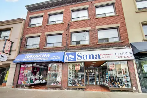
$3,379,000
1181-1183 St Clair Avenue W
Corso Italia-Davenport, Toronto
Store W Apt/Office · MLS® W13876108 · SUTTON GROUP-ASSOCIATES REALTY INC.
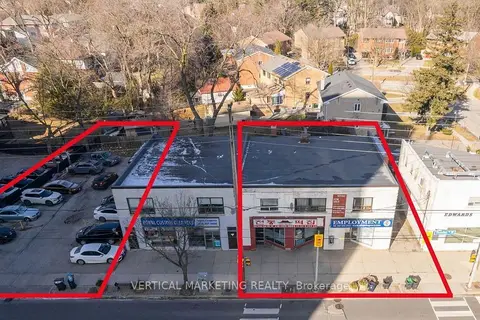
$2,999,999
5000 Dundas Street W
Islington-City Centre West, Toronto
Commercial Retail · MLS® W14089040 · VERTICAL MARKETING REALTY
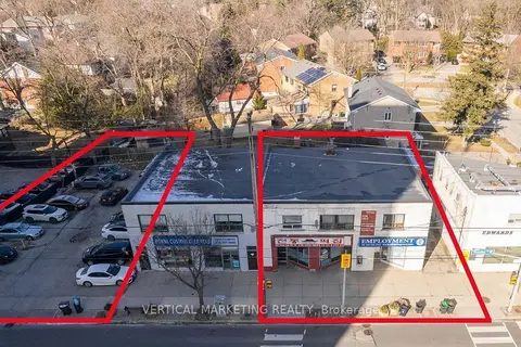
$2,999,999
4990 Dundas Street W
Islington-City Centre West, Toronto
Commercial Retail · MLS® W14089092 · VERTICAL MARKETING REALTY
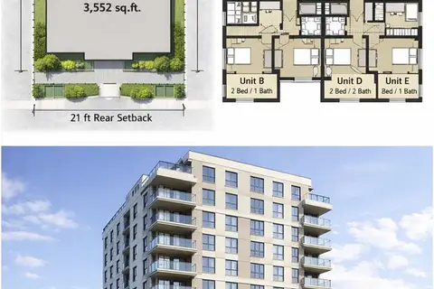
$3,000,000
483-485 Wilson Avenue
Clanton Park, Toronto
Land · MLS® C13004800 · HOME LEADER REALTY INC.
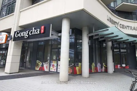
$3,000,000
49 East Liberty Street 1
Niagara, Toronto
Commercial Retail · MLS® C13588038 · REAL ESTATE HOMEWARD
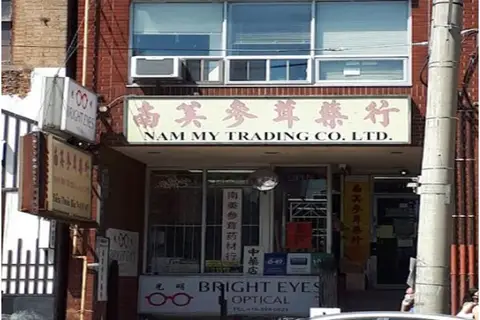
$2,999,900
Reduced $128,100
3 ba
480 Dundas Street W
Kensington-Chinatown, Toronto
Commercial Retail · MLS® C7375784 · HOMELIFE NEW WORLD REALTY INC.
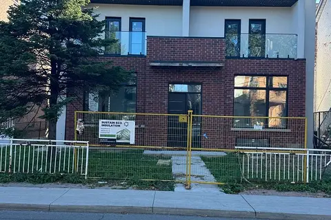
$2,999,000
Reduced $300,000
145 Dovercourt Road
Trinity-Bellwoods, Toronto
Investment · MLS® C13825514 · RE/MAX WEST REALTY INC.
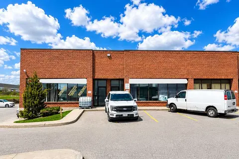
$2,999,000
130 Dynamic Drive 20-21
Milliken, Toronto
Industrial · MLS® E13112018 · AVISON YOUNG COMMERCIAL REAL ESTATE SERVICES, LP