470 Lyndebrook Road
Rural Whitby, Whitby, L1P 2A3
$1,149,999
- 0 bedrooms
- 0 bathrooms
Listed 12 days ago · MLS® E13877330
About this home
A truly rare offering to build your dream estate on approximately 4.5 breathtaking acres backing directly onto Heber Down Conservation Area. With towering trees and a breathtaking woodland setting as your backdrop, this incredible property delivers unmatched privacy, tranquility, and the feeling of country living while still being just minutes to Highway 412, schools, shopping, restaurants, and Thermea Spa Village Whitby. What truly sets this property apart is the extensive groundwork already completed for the next owner. Over $150,000 has been invested into cleanup, debris removal, site preparation, and securing a building permit. The building permit is already approved and in place for a spectacular custom residence featuring approximately 4,359 sq. ft. above grade plus a 1,724 sq. ft. basement. This lot is fully primed and ready for construction to begin immediately, allowing the next owner to bypass years of planning, approvals, and upfront costs. Enjoy exceptional privacy with only one neighbouring property to the right, protected conservation land surrounding the left and rear of the property, and no homes directly in front, creating a truly peaceful and secluded environment, all coming together to make an exceptional opportunity to create a custom luxury home in one of Durham Region's most unique and private settings. *The 3D model illustrated reflects the approved building plans.*
Details
- Type
- Vacant Land
- Lot
- 387 × 466 ft
- Kitchens
- 0
- Property tax
- $6,608 (2025)
- Neighbourhood
- Rural Whitby
- Municipality
- Whitby
Building and exterior
- Faces
- South
Lot
- Size
- 387 × 466 ft
- Acreage
- 2-4.99
More
- Possession
- Immediate
- Cross street
- Country Lane and Taunton
History of this address
2 earlier listings at this address, with sold and leased prices. Create a free account or sign in to see them.
Location
Location is approximate. See nearby homes on the map
Recent sales nearby
See what similar homes within 1 km sold for in the last year. Create a free account or sign in to see them.
The neighbourhood
Getting around Car-dependent
No subway, LRT or GO station within a short trip.
Within a 10-minute walk: no grocery stores, 0 cafés and restaurants, 1 park. Nearest park: Phillips-Kozaroff Park (1000 m).
Schools nearby
Elementary
- Robert Munsch Public School
EQAO: Gr 6 reading 84%, math 50%1.8 km
Secondary
- École secondaire catholique Saint-Charles-Garnier Catholic · French
EQAO: Gr 9 math 67%, literacy test 98%2.5 km
EQAO: share of students meeting the provincial standard (2024–25). Ontario average: Gr 6 reading 86%, math 51%; Gr 9 math 55%; literacy test 83%.
Closest schools, not school zones. Check which school serves this address with the school board before relying on it.
Who lives here postal area L1P
- Owners / renters
- 82% / 18%
- Median household income
- $132,000
- Average age
- 36
- Children under 15
- 22%
- Homes
- 71% detached, 10% high-rise
- Commute by transit
- 6%
- Population
- 22,928
Languages spoken most at home besides English: Tamil 2.7%, Mandarin 2.3%, Urdu 2%, Dari 0.8%.
Flood and conservation No mapped hazard
Not inside a mapped flood plain or regulated area.
Screening maps only. Ask the conservation authority for a property inquiry before relying on this.
Safety
Crime Severity Index for Durham Region (Oshawa/Whitby/Ajax) police: 43 vs 57 for Ontario (2025).
Police-reported figures for the whole police service area, not this street. Rates use the area’s resident population.
Distances are approximate. Places © OpenStreetMap contributors. Neighbourhood figures: Statistics Canada, 2021 Census. School results: EQAO via Ontario Data Catalogue (Open Government Licence – Ontario). Crime Severity Index: Statistics Canada.
Living here
Commute
To Union Station (downtown Toronto): 45 km. Transit times · Driving times
Noise Nothing major nearby
No highway within 500 m, rail line within 300 m, or airport flight path nearby.
Distances from the map, not noise measurements. Visit at rush hour to judge for yourself.
Internet High-speed
50/10 Mbps or faster available here by cable, fibre or DSL (the federal high-speed target).
From the federal broadband map. Check exact speeds and providers for the address.
Roads, rail, airports and planned stations © OpenStreetMap contributors. Internet: Innovation, Science and Economic Development Canada, National Broadband Data.
Listed by CENTURY 21 PERCY FULTON LTD..
Listing information provided by PropTx Innovations Inc. and TRREB; deemed reliable but not guaranteed accurate by PropTx.
Similar homes nearby
See more in Whitby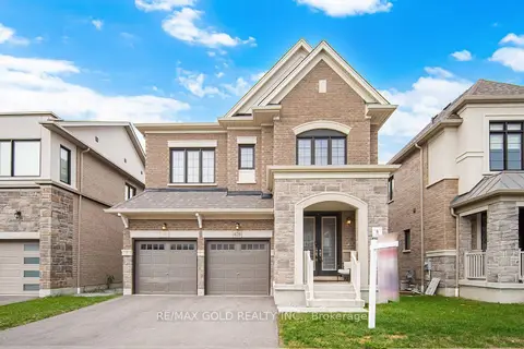 New
$1,149,000
4 bd4 ba4 pk2000-2500 ft²
426 Coronation Road
Rural Whitby, Whitby
Detached · MLS® E14093318 · RE/MAX GOLD REALTY INC.
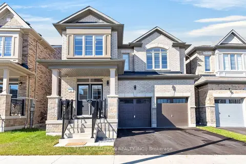
$1,169,900
4 bd4 ba4 pk2000-2500 ft²
10 Fire King Drive
Rural Whitby, Whitby
Detached · MLS® E13824280 · RE/MAX REALTRON REALTY INC.
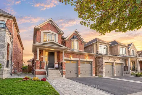
$1,118,000
4 bd3 ba4 pk2000-2500 ft²
13 Micklefield Avenue
Rural Whitby, Whitby
Detached · MLS® E14080132 · BAY STREET GROUP INC.
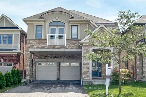
$1,187,500
Reduced $62,500
4 bd4 ba6 pk2500-3000 ft²
56 Westfield Drive
Rural Whitby, Whitby
Detached · MLS® E13742412 · Keller Williams Energy Real Estate
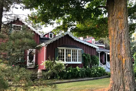
$1,199,000
4 bd3 ba10 pk3000-3500 ft²
130 Myrtle Road E
Rural Whitby, Whitby
Detached · MLS® E13826554 · RE/MAX HALLMARK FIRST GROUP REALTY LTD.
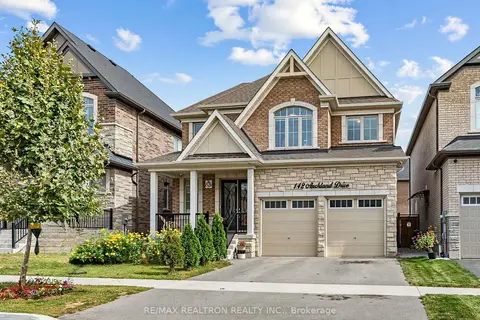
$1,199,000
5+2 bd5 ba4 pk2000-2500 ft²
142 Auckland Drive
Rural Whitby, Whitby
Detached · MLS® E13850438 · RE/MAX REALTRON REALTY INC.
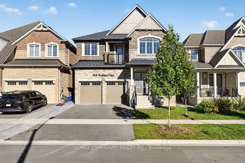
$1,199,000
4 bd4 ba4 pk2500-3000 ft²
144 Auckland Drive
Rural Whitby, Whitby
Detached · MLS® E13869094 · RE/MAX COMMUNITY REALTY INC.
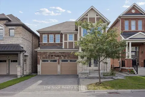
$1,100,000
4 bd4 ba4 pk2500-3000 ft²
60 Westfield Drive
Rural Whitby, Whitby
Detached · MLS® E13779512 · The Nook Realty Inc.