4544 Dufferin Street 5
York University Heights, Toronto, M3H 5X2
$6,999/mo
Listed today · MLS® W14094646
About this home
Excellent leasing opportunity at 4544 Dufferin Street, ideally located near Dufferin Street and Finch Avenue West! This approximately 2,151 sq. ft. commercial unit offers outstanding street exposure and visibility along Dufferin Street, situated within a busy commercial plaza. The unit features two pedestrian access doors, including a front double man door (6' W x 7' H) and a rear man door (3' W x 7' H), as well as a rear roll-up door (8' W x 10' H), providing convenient vehicle access directly into the unit. Includes 4 designated parking spaces at front of property. Suitable for a variety of potential uses, including automotive-related businesses, retail, restaurant, place of worship, church, and other commercial uses, subject to zoning and municipal approvals. Gross lease plus HST, with no additional TMI. Landlord is responsible for water and internet. Tenant is responsible for hydro and gas. For car detailing operations, an additional $300 water charge will apply. Tenant must obtain liability and contents insurance. The unit is being leased in as-is, where-is condition.
Details
- Type
- Commercial Retail
- Garage
- None
- Neighbourhood
- York University Heights
- Municipality
- Toronto W05
Heating, cooling and services
- Heating
- Gas Forced Air Closed
- Water and sewer
- Sanitary
- Utilities
- Available
Building and exterior
- Building area
- 2,151 Square Feet
Rental terms
- Minimum term
- 12 months
More
- Possession
- Immediate
- Cross street
- DUFFERIN & FINCH AVE W.
- Business type
- Automotive Related
History of this address
1 earlier listing at this address, with sold and leased prices. Create a free account or sign in to see them.
Location
Location is approximate. See nearby homes on the map
The neighbourhood
Getting around Walkable
- 🚇 Downsview Park Subway1.9 km
- 🚇 Finch West Subway2.0 km
- 🚆 Downsview Park GO1.9 km
Within a 10-minute walk: 1 grocery store, 17 cafés and restaurants, 2 parks, 1 pharmacy. Nearest grocery: Yummy Market (400 m). Nearest park: Garthdale Parkette (350 m).
Schools nearby
Elementary
- Wilmington Elementary School
EQAO: Gr 3 reading 71%, math 69%7 min walk - Rockford Public School
EQAO: Gr 6 reading 74%, math 35%2.3 km - Derrydown Public School
EQAO: Gr 3 reading 44%, math 24%2.4 km
Secondary
- Charles H Best Middle School10 min walk
- William Lyon Mackenzie Collegiate Institute
EQAO: Gr 9 math 73%, literacy test 96%1.8 km - Northview Heights Secondary School
EQAO: Gr 9 math 57%, literacy test 86%1.8 km
EQAO: share of students meeting the provincial standard (2024–25). Ontario average: Gr 6 reading 86%, math 51%; Gr 9 math 55%; literacy test 83%.
Closest schools, not school zones. Check which school serves this address with the school board before relying on it.
Who lives here postal area M3H
- Owners / renters
- 54% / 46%
- Median household income
- $92,000
- Average age
- 41
- Children under 15
- 16%
- Homes
- 36% detached, 38% high-rise
- Commute by transit
- 28%
- Population
- 38,416
Languages spoken most at home besides English: Tagalog (Pilipino, Filipino) 6.1%, Russian 3.7%, Spanish 2.1%, Mandarin 1.5%.
Flood and conservation No mapped hazard
Not inside a mapped flood plain or regulated area.
Screening maps only. Ask the conservation authority for a property inquiry before relying on this.
Safety
Major crime per resident in York University Heights (2025): 96% above the Toronto average, about the same from the year before.
- Assault66% above average
- Break and enter98% above average
- Auto theft182% above average
- Robbery63% above average
- Theft from vehicles48% above average
- Shootings46% above average
Crime Severity Index for Toronto police: 60 vs 57 for Ontario (2025).
Police-reported figures for the whole neighbourhood, not this street. Rates use the area’s resident population.
Development nearby 1 active
-
2 CHAMPAGNE DR · 500 mOfficial Plan / Zoning By-law Amendment · Under Review · applied 2021Application to Amend the Zoning By-law to remove the holding symbol, to make permanent the temporary minor variances under 21 122447 S45 06 TLAB, and to permit…Application details
Rezoning, site plan, subdivision and condominium applications filed with the city.
Distances are approximate. Places © OpenStreetMap contributors. Neighbourhood figures: Statistics Canada, 2021 Census. School results: EQAO via Ontario Data Catalogue (Open Government Licence – Ontario). Neighbourhood crime: Toronto Police Service Public Safety Data Portal (Open Government Licence – Toronto Police Service). Crime Severity Index: Statistics Canada. Planning applications: City of Toronto open data.
Living here
Commute
To Union Station (downtown Toronto): 15 km. Transit times · Driving times
Noise Nothing major nearby
No highway within 500 m, rail line within 300 m, or airport flight path nearby.
Distances from the map, not noise measurements. Visit at rush hour to judge for yourself.
Trees
0 City street trees within 100 m. That’s fewer than the Toronto average of 42.
Trees on City boulevards only, not private yards or parks.
Internet High-speed
50/10 Mbps or faster available here by cable, fibre or DSL (the federal high-speed target).
From the federal broadband map. Check exact speeds and providers for the address.
Zoning, heritage, building permits and street trees: City of Toronto open data (Open Government Licence – Toronto). Roads, rail, airports and planned stations © OpenStreetMap contributors. Internet: Innovation, Science and Economic Development Canada, National Broadband Data.
Listed by CENTURY 21 HERITAGE GROUP LTD..
Listing information provided by PropTx Innovations Inc. and TRREB; deemed reliable but not guaranteed accurate by PropTx.
Similar homes nearby
See more in Toronto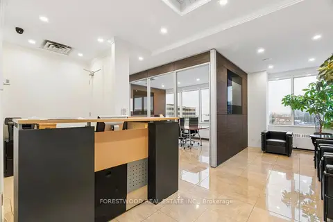
$6,999/mo
1280 Finch Avenue W 408 & 409
York University Heights, Toronto
Office · MLS® W13055354 · FORESTWOOD REAL ESTATE INC.
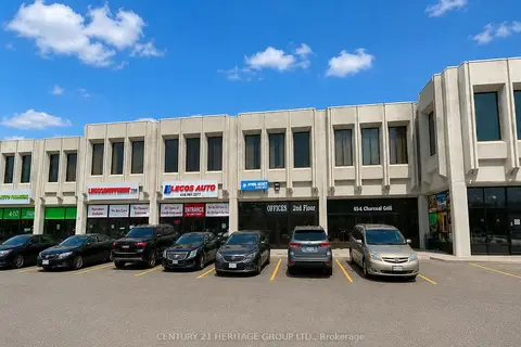
$6,999/mo
1 ba
4544 Dufferin Street 5
York University Heights, Toronto
Commercial Retail · MLS® W14087542 · CENTURY 21 HERITAGE GROUP LTD.
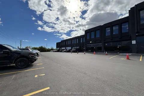
$6,400/mo
1 ba
4544 Dufferin Street 20 & 21
York University Heights, Toronto
Commercial Retail · MLS® W14088476 · CENTURY 21 HERITAGE GROUP LTD.

$7,000/mo
517 Parliament Street Main Floor
Cabbagetown-South St. James Town, Toronto
Commercial Retail · MLS® C13479264 · ROYAL LEPAGE ESTATE REALTY
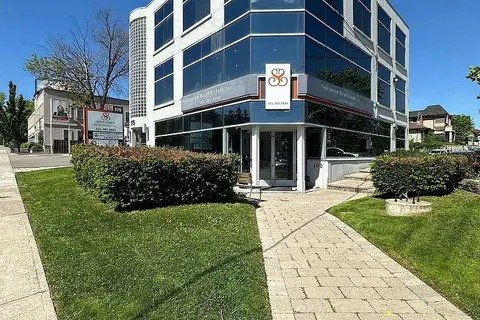
$7,000/mo
2 ba
175 Willowdale Avenue 300
Willowdale East, Toronto
Office · MLS® C13849404 · SOLTANIAN REAL ESTATE INC.
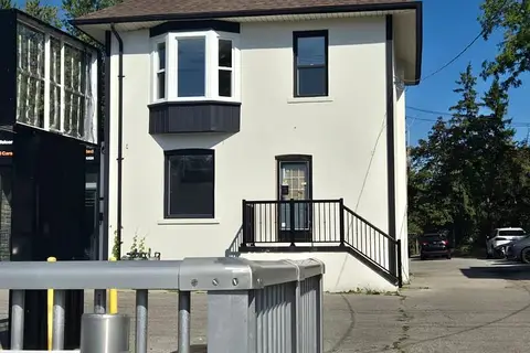
$7,000/mo
4142B Sheppard Avenue E
Agincourt South-Malvern West, Toronto
Commercial Retail · MLS® E13571134 · HOMELIFE LANDMARK REALTY INC.
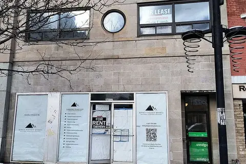
$7,000/mo
2 ba
2820 Danforth Avenue MAIN FLOOR
East End-Danforth, Toronto
Commercial Retail · MLS® E13714964 · ROYAL LEPAGE REAL ESTATE SERVICES LTD.
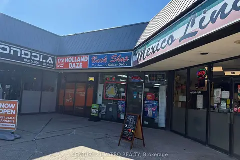
$7,000/mo
1 ba
2584 Birchmount Road
Tam O'Shanter-Sullivan, Toronto
Commercial Retail · MLS® E13869796 · CENTURY 21 MYPRO REALTY