45 Queens Road
Rural Whitby, Whitby, L1P 1K4
$598,000
- 4 bedrooms
- 2 bathrooms
- 4 parking
- 1100-1500 sq ft
Listed 10 days ago · MLS® E13883776
About this home
A rare opportunity for builders, investors, renovators, and custom-home buyers ready to bring their vision to life. Set on an impressive 20,839 sq. ft. lot with approximately 133 feet of frontage and 164 FT depth, the property backs onto a private conservative ravine, mature tree-lined boundaries, and small creek creating a peaceful natural setting with room for children to play, family to gather, and evenings to unwind outdoors - Hydro, natural gas, and municipal water are already connected, giving a valuable head start whether to finish or renovate the existing home or create a larger customed home. A City permit is on hand for a potential home of approximately 5,800 sq. ft. and is transferable to the new owner, subject to verification of transferability and permit conditions with the Town of Whitby. Enjoy bright living spaces, beautiful ravine views, and convenient access to the Hwy. 401 and 412 connection and Whitby GO, approximately three minutes away. A rare property with outstanding potential-bring your vision and make it home. The existing house is being sold as-is, without warranties or representations.
Details
- Type
- Detached
- Style
- Bungalow
- Size
- 1100-1500 sq ft
- Lot
- 133.13 × 164.14 ft
- Basement
- Development Potential
- Garage
- None
- Kitchens
- 1
- Property tax
- $6,069 (2026)
- Neighbourhood
- Rural Whitby
- Municipality
- Whitby
- Price per sq ft
- $460 (7% below detached houses in Rural Whitby, $494)
Interior
- Bedrooms
- 4 above ground
- Bathrooms
- 1 × 3-piece (main), 1 × 4-piece (main)
- Rooms
- 6 above ground
- Family room or den
- Yes
- Fireplace
- No
Heating, cooling and services
- Heating
- Forced Air, Gas
- Water and sewer
- Septic
Building and exterior
- Style
- Bungalow
- Exterior
- Brick
- Roof
- Shingles
- Foundation
- Concrete
- Faces
- West
Parking
- Total parking
- 4
- Driveway and parking
- Private
Lot
- Size
- 133.13 × 164.14 ft
More
- Possession
- Flexible
- Cross street
- Dundas St W (Hwy 2) / Lakeridge Rd S
History of this address
1 earlier listing at this address, with sold and leased prices. Create a free account or sign in to see them.
Location
Location is approximate. See nearby homes on the map
Recent sales nearby
See what similar homes within 1 km sold for in the last year. Create a free account or sign in to see them.
The neighbourhood
Getting around Car-dependent
- 🚆 Whitby GO3.4 km
Within a 10-minute walk: 1 grocery store, 0 cafés and restaurants, 0 parks. Nearest grocery: MacMillan Orchards (700 m).
Schools nearby
Elementary
- Colonel J. E. Farewell Public School
EQAO: Gr 6 reading 97%, math 54%2.2 km - West Lynde Public School
EQAO: Gr 6 reading 79%, math 35%2.3 km - St. John the Evangelist Catholic School Catholic
EQAO: Gr 6 reading 90%, math 52%2.3 km - St. Marguerite d'Youville Catholic School Catholic
EQAO: Gr 6 reading 91%, math 38%2.3 km
EQAO: share of students meeting the provincial standard (2024–25). Ontario average: Gr 6 reading 86%, math 51%; Gr 9 math 55%; literacy test 83%.
Closest schools, not school zones. Check which school serves this address with the school board before relying on it.
Who lives here postal area L1P
- Owners / renters
- 82% / 18%
- Median household income
- $132,000
- Average age
- 36
- Children under 15
- 22%
- Homes
- 71% detached, 10% high-rise
- Commute by transit
- 6%
- Population
- 22,928
Languages spoken most at home besides English: Tamil 2.7%, Mandarin 2.3%, Urdu 2%, Dari 0.8%.
Flood and conservation Regulated area
This address is inside a conservation-authority regulated area (Central Lake Ontario Conservation): near a valley, stream, shoreline or wetland, where flooding or erosion can occur. New building, additions, pools or grading usually need a permit from the authority.
Screening maps only. Ask the conservation authority for a property inquiry before relying on this.
Safety
Crime Severity Index for Durham Region (Oshawa/Whitby/Ajax) police: 43 vs 57 for Ontario (2025).
Police-reported figures for the whole police service area, not this street. Rates use the area’s resident population.
Distances are approximate. Places © OpenStreetMap contributors. Neighbourhood figures: Statistics Canada, 2021 Census. School results: EQAO via Ontario Data Catalogue (Open Government Licence – Ontario). Flood and regulation mapping: Central Lake Ontario Conservation open data. Crime Severity Index: Statistics Canada.
Living here
Commute
To Union Station (downtown Toronto): 41 km. Transit times · Driving times
Noise Nothing major nearby
No highway within 500 m, rail line within 300 m, or airport flight path nearby.
Distances from the map, not noise measurements. Visit at rush hour to judge for yourself.
Internet High-speed
50/10 Mbps or faster available here by cable, fibre or DSL (the federal high-speed target).
From the federal broadband map. Check exact speeds and providers for the address.
Roads, rail, airports and planned stations © OpenStreetMap contributors. Internet: Innovation, Science and Economic Development Canada, National Broadband Data.
Listed by ROYAL LEPAGE SIGNATURE REALTY.
Listing information provided by PropTx Innovations Inc. and TRREB; deemed reliable but not guaranteed accurate by PropTx.
Similar homes nearby
See more in Whitby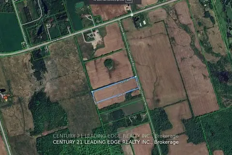
$499,999
0 bd0 ba
8700 Coronation Road
Rural Whitby, Whitby
Vacant Land · MLS® E13829662 · CENTURY 21 LEADING EDGE REALTY INC.
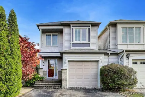
$599,000
3+1 bd4 ba5 pk1100-1500 ft²
57 Longueuil Place
Pringle Creek, Whitby
Link · MLS® E14083096 · BOSLEY REAL ESTATE LTD.
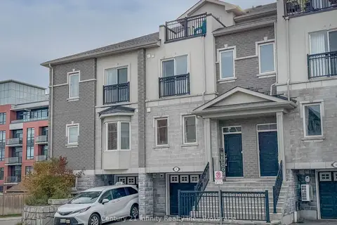
$624,900
3 bd3 ba2 pk1100-1500 ft²
4 Dunsley Way
Pringle Creek, Whitby
Att/Row/Townhouse · MLS® E13985336 · Century 21 Infinity Realty Inc.
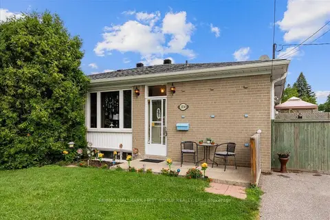
$625,000
3+2 bd2 ba2 pk700-1100 ft²
1014 Dunlop Street E
Downtown Whitby, Whitby
Semi-Detached · MLS® E13598134 · RE/MAX HALLMARK FIRST GROUP REALTY LTD.
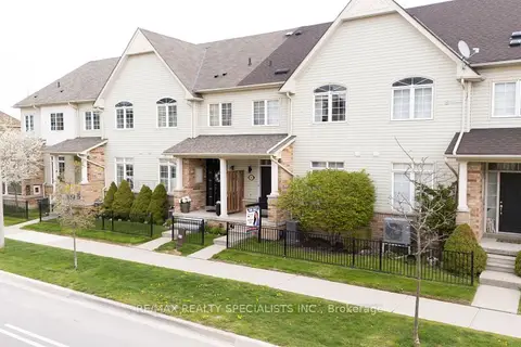
$549,000
2 bd2 ba3 pk1100-1500 ft²
111 Civic Centre Drive
Pringle Creek, Whitby
Att/Row/Townhouse · MLS® E13747236 · RE/MAX REALTY SPECIALISTS INC.
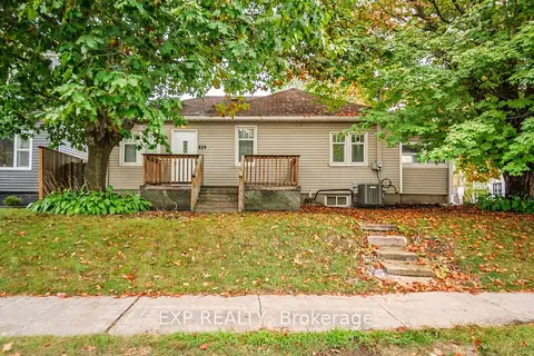
$648,800
Reduced $70,000
2+1 bd2 ba5 pk700-1100 ft²
829 Athol Street
Downtown Whitby, Whitby
Detached · MLS® E13464742 · EXP REALTY
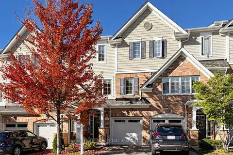
$649,000
3+1 bd2 ba2 pk1100-1500 ft²
22 Benjamin Way
Blue Grass Meadows, Whitby
Att/Row/Townhouse · MLS® E13861908 · ROYAL LEPAGE REAL ESTATE ASSOCIATES
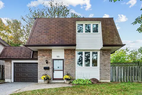
$649,000
3 bd1 ba3 pk700-1100 ft²
22 Harper Court
Lynde Creek, Whitby
Detached · MLS® E14018762 · ROYAL LEPAGE SECURITY REAL ESTATE