447 Church Street
Church-Yonge Corridor, Toronto, M4Y 2C5
$2,500,000
Listed 40 days ago · MLS® C13769496
About this home
Exceptional Mixed-Use Investment in the Heart of The Village ***** Positioned in the vibrant core of Church Street, this versatile mixed-use property offers a rare opportunity for investors and owner-users alike. Located just two blocks south of Wellesley, the building benefits from unrivaled street visibility and high pedestrian traffic counts, making it a premier destination for commercial success. ***** The main floor and lower level comprise two distinct commercial units totaling over 900 sq. ft. These high-exposure spaces are perfectly suited for flagship retail, food/cafe services, professional services, or creative office use. ***** The second and third floors feature two spacious, well-appointed two-bedroom apartments, offering high rental demand or comfortable urban living. Separate hydro meters. Two car parking at rear ***** This property is an ideal "Live/Work" solution, allowing an owner to operate a business on-site while generating significant supplementary income from the residential units. Located on one of Toronto's most iconic and energetic neighborhoods, the property is surrounded by established local businesses, transit options, and a dense residential population. ***** Whether you are looking for an addition to your portfolio or a signature location for your business, this property delivers the perfect blend of commercial prominence and residential stability. ***** An exceptional opportunity to own a piece of Church Street's iconic commercial landscape. ***** SELLER FINANCING AVAILABLE. Competitive terms offered for a first mortgage back to qualified buyers.
Details
- Type
- Commercial Retail
- Lot
- 17.04 × 89.1 ft
- Garage
- Outside/Surface
- Property tax
- $20,753 (2025)
- Neighbourhood
- Church-Yonge Corridor
- Municipality
- Toronto C08
Heating, cooling and services
- Heating
- Baseboard
- Utilities
- Yes
Building and exterior
- Building area
- 3,600 Square Feet
More
- Possession
- Flexible
- Cross street
- Church St/Alexander Pl
Location
Location is approximate. See nearby homes on the map
Recent sales nearby
See what similar homes within 1 km sold for in the last year. Create a free account or sign in to see them.
The neighbourhood
Getting around Very walkable
- 🚇 Wellesley Subway5 min walk
- 🚇 College Subway6 min walk
- 🚆 Toronto Union Station GO2.1 km
Within a 10-minute walk: 30 grocery stores, 357 cafés and restaurants, 28 parks, 34 pharmacies. Nearest grocery: Loblaws (200 m). Nearest park: Alexander Street Parkette (200 m).
Schools nearby
Elementary
- Church Street Junior Public School
EQAO: Gr 6 reading 84%, math 45%1 min walk - Our Lady of Lourdes Catholic School Catholic
EQAO: Gr 6 reading 80%, math 43%7 min walk - Winchester Junior and Senior Public School
EQAO: Gr 6 reading 89%, math 57%12 min walk - Rose Avenue Junior Public School
EQAO: Gr 6 reading 67%, math 14%14 min walk
Secondary
- Native Learning Centre1 min walk
- Collège français French4 min walk
- Jarvis Collegiate Institute
EQAO: Gr 9 math 34%, literacy test 80%5 min walk
EQAO: share of students meeting the provincial standard (2024–25). Ontario average: Gr 6 reading 86%, math 51%; Gr 9 math 55%; literacy test 83%.
Closest schools, not school zones. Check which school serves this address with the school board before relying on it.
Who lives here postal area M4Y
- Owners / renters
- 29% / 71%
- Median household income
- $62,400
- Average age
- 39
- Children under 15
- 4%
- Homes
- 0% detached, 91% high-rise
- Commute by transit
- 31%
- Population
- 36,319
Languages spoken most at home besides English: Mandarin 7.6%, Korean 1.5%, Spanish 1.3%, Iranian Persian 1%.
Flood and conservation No mapped hazard
Not inside a mapped flood plain or regulated area.
Screening maps only. Ask the conservation authority for a property inquiry before relying on this.
Safety
Major crime per resident in Church-Wellesley (2025): 25% above the Toronto average, about the same from the year before.
- Assault65% above average
- Break and enter23% below average
- Auto theft79% below average
- Robberyabout average
- Theft from vehiclesabout average
- Shootingsnone reported
Crime Severity Index for Toronto police: 60 vs 57 for Ontario (2025).
Police-reported figures for the whole neighbourhood, not this street. Rates use the area’s resident population.
Development nearby 38 active
-
21 MCGILL ST · 450 mSite Plan · Under Review · applied 2026Site Plan Approval for a 7-storey addition to the existing Covenant House Toronto. The proposal would increase its youth crisis and supportive housing capacity…Application details
-
110 MAITLAND ST · 150 mSite Plan · Under Review · applied 2025Site Plan Approval for a 56-storey mixed-use building. The proposed building contains a total of 579 dwelling units, of which 36 are rental replacement units,…Application details
-
110 MAITLAND ST · 150 mOfficial Plan / Zoning By-law Amendment · OMB Appeal · applied 2025Combined Official Plan & Zoning By-law Amendment for a 56-storey mixed-use building. The proposed building contains a total of 579 dwelling units, of which 36…Application details
-
2 CARLTON ST · 350 mSite Plan · Under Review · applied 2025Site Plan application for an 80-storey tower containing 69,448 square metres of residential GFA and 10,037 square metres of non-residential GFA (Non-res GFA…Application details
-
543 YONGE ST · 350 mSite Plan · Under Review · applied 2025Site Plan Approval for a 68 storey mixed-use building. There will be 679 dwelling unit and 45,139 square meters of GFA, including 455 square meters of retail…Application details
-
81 ISABELLA ST · 500 mOfficial Plan / Zoning By-law Amendment · OMB Appeal · applied 2025Zoning By-law Amendment for a 69-storey residential building, containing 647 dwelling units, including 48 replacement rental dwelling units.Application details
48 more within 500 m.
Rezoning, site plan, subdivision and condominium applications filed with the city.
Distances are approximate. Places © OpenStreetMap contributors. Neighbourhood figures: Statistics Canada, 2021 Census. School results: EQAO via Ontario Data Catalogue (Open Government Licence – Ontario). Neighbourhood crime: Toronto Police Service Public Safety Data Portal (Open Government Licence – Toronto Police Service). Crime Severity Index: Statistics Canada. Planning applications: City of Toronto open data.
Living here
Commute
To Union Station (downtown Toronto): 2 km. Transit times · Driving times
Coming transit
- 🚧 Queen 1.3 km
- 🚧 Moss Park 1.3 km
- 🚧 Osgoode 1.5 km
Stations under construction or approved. Opening dates are the latest public estimates and often move.
Noise Nothing major nearby
No highway within 500 m, rail line within 300 m, or airport flight path nearby.
Distances from the map, not noise measurements. Visit at rush hour to judge for yourself.
What can be built CR
Commercial Residential (with a site-specific exception).
From Toronto’s Zoning By-law 569-2013 map. Lot size, setbacks and trees decide what actually fits; check with a planner before you buy.
Building permits
No building permits at this address since 2014.
1 permit on this block of the street in the last 2 years.
Permits filed with the City of Toronto. A permit doesn’t mean the work passed final inspection.
Trees
75 City street trees within 100 m. That’s more than the Toronto average of 42.
Trees on City boulevards only, not private yards or parks.
Internet High-speed
50/10 Mbps or faster available here by cable, fibre or DSL (the federal high-speed target).
From the federal broadband map. Check exact speeds and providers for the address.
Zoning, heritage, building permits and street trees: City of Toronto open data (Open Government Licence – Toronto). Roads, rail, airports and planned stations © OpenStreetMap contributors. Internet: Innovation, Science and Economic Development Canada, National Broadband Data.
Listed by SKYBOUND REALTY.
Listing information provided by PropTx Innovations Inc. and TRREB; deemed reliable but not guaranteed accurate by PropTx.
Similar homes nearby
See more in Toronto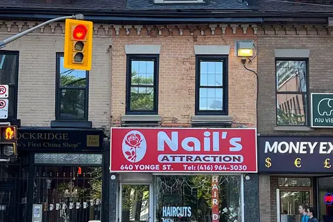
$2,500,000
Reduced $350,000
640 Yonge Street
Bay Street Corridor, Toronto
Commercial Retail · MLS® C13247254 · RIGHT AT HOME REALTY
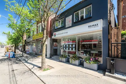
$2,500,000
1945 Queen Street E
The Beaches, Toronto
Store W Apt/Office · MLS® E13233626 · RE/MAX ULTIMATE REALTY INC.
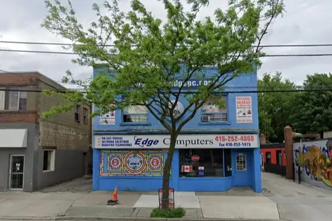
$2,500,000
3 ba
3369 Lake Shore Boulevard W
Long Branch, Toronto
Commercial Retail · MLS® W13025612 · SUTTON GROUP-TOWER REALTY LTD.
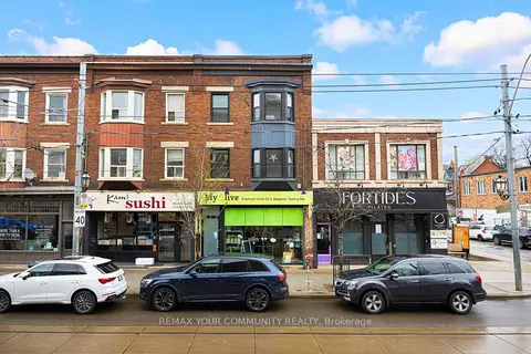
$2,500,000
151 Roncesvalles Avenue
Roncesvalles, Toronto
Store W Apt/Office · MLS® W14087314 · REMAX YOUR COMMUNITY REALTY
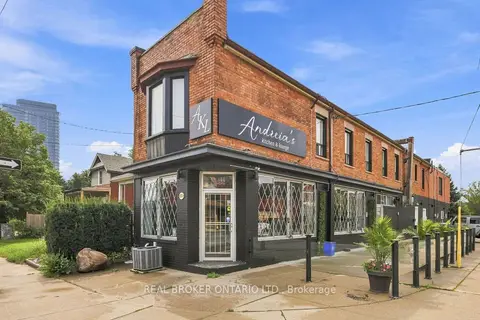
$2,499,900
1438A Dufferin Street
Dovercourt-Wallace Emerson-Junction, Toronto
Store W Apt/Office · MLS® W13740226 · REAL BROKER ONTARIO LTD.
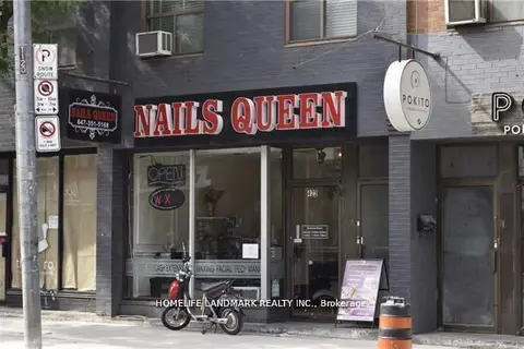
$2,499,000
Reduced $139,000
422 Queen Street W
Kensington-Chinatown, Toronto
Commercial Retail · MLS® C12701700 · HOMELIFE LANDMARK REALTY INC.
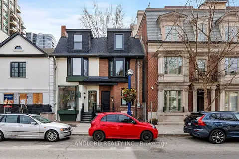
$2,499,000
Reduced $100,000
107A Scollard Street
Annex, Toronto
Commercial Retail · MLS® C13731294 · LANDLORD REALTY INC.
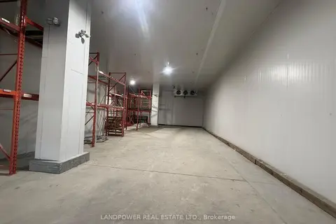
$2,499,000
2 ba
2691 Markham Road 25 & 26
Malvern, Toronto
Industrial · MLS® E13063368 · LANDPOWER REAL ESTATE LTD.