447 Birchmount Road
Clairlea-Birchmount, Toronto, M1K 1N6
$5,200,000
Listed 164 days ago · MLS® E13104886
About this home
Exceptional opportunity for investors. Features clear heights of 14'-16', ideal for a wide range of industrial & commercial uses. Wide frontage on a high-traffic corridor ensures maximum visibility & accessibility. Thoughtfully designed layout with numerous upgrades. Full 53' trailer access adds significant logistical value for warehousing & distribution. Steps to public transit.
Details
- Type
- Industrial
- Lot
- 170 × 105 ft
- Garage
- Outside/Surface
- Property tax
- $31,449 (2025)
- Neighbourhood
- Clairlea-Birchmount
- Municipality
- Toronto E04
Heating, cooling and services
- Heating
- Gas Forced Air Open
- Air conditioning
- Partial
- Utilities
- Yes
Building and exterior
- Building area
- 13,709 Square Feet
More
- Possession
- Flexible
- Cross street
- Birchmount Rd & Danforth Rd
Location
Location is approximate. See nearby homes on the map
Recent sales nearby
See what similar homes within 1 km sold for in the last year. Create a free account or sign in to see them.
The neighbourhood
Getting around Walkable
- 🚇 Warden Subway17 min walk
- 🚇 Victoria Park Subway2.0 km
- 🚆 Scarborough GO1.8 km
Within a 10-minute walk: 2 grocery stores, 6 cafés and restaurants, 7 parks, 1 pharmacy. Nearest grocery: Red Rose (200 m). Nearest park: Sadler Parkette (500 m).
Schools nearby
Elementary
- J G Workman Public School
EQAO: Gr 6 reading 44%, math 19%5 min walk - Danforth Gardens Public School
EQAO: Gr 6 reading 69%, math 40%7 min walk - Birch Cliff Heights Public School
EQAO: Gr 6 reading 74%, math 52%11 min walk - Taylor Creek Public School
EQAO: Gr 6 reading 71%, math 21%14 min walk
Secondary
- Birchmount Park Collegiate Institute
EQAO: Gr 9 math 35%, literacy test 72%16 min walk - Samuel Hearne Public School1.6 km
EQAO: share of students meeting the provincial standard (2024–25). Ontario average: Gr 6 reading 86%, math 51%; Gr 9 math 55%; literacy test 83%.
Closest schools, not school zones. Check which school serves this address with the school board before relying on it.
Who lives here postal area M1K
- Owners / renters
- 50% / 50%
- Median household income
- $72,500
- Average age
- 41
- Children under 15
- 16%
- Homes
- 29% detached, 45% high-rise
- Commute by transit
- 36%
- Population
- 48,175
Languages spoken most at home besides English: Tamil 5%, Tagalog (Pilipino, Filipino) 4.3%, Bengali 4.1%, Yue (Cantonese) 2%.
Flood and conservation No mapped hazard
Not inside a mapped flood plain or regulated area.
Screening maps only. Ask the conservation authority for a property inquiry before relying on this.
Safety
Major crime per resident in Clairlea-Birchmount (2025): 45% above the Toronto average, about the same from the year before.
- Assault70% above average
- Break and enterabout average
- Auto theft28% above average
- Robbery38% below average
- Theft from vehicles37% above average
- Shootings20% above average
Crime Severity Index for Toronto police: 60 vs 57 for Ontario (2025).
Police-reported figures for the whole neighbourhood, not this street. Rates use the area’s resident population.
Development nearby 2 active
-
110-120 MACK AVE · 400 mSite Plan · Under Review · applied 2025The proposal involves a 4,850-square-metre single-storey warehouse addition with a raised roof to the existing 5,850-square-metre industrial building for a…Application details
-
300 DANFORTH RD · 450 mOfficial Plan / Zoning By-law Amendment · Under Review · applied 2018INACTIVE The application proposes an amendment to the Former City of Scarborough Warden Woods Community Zoning By-law No. 950-2005, to permit 4 blocks of…Application details
-
468-480 DANFORTH RD · 400 mOfficial Plan / Zoning By-law Amendment · Closed · applied 2022Revised Proposal- May 6, 2024. The applicant is proposing a 12 Storey mixed used buildng with a total of 431 units and 6,000sq.ft of retail units. The owner…Application details
Rezoning, site plan, subdivision and condominium applications filed with the city.
Distances are approximate. Places © OpenStreetMap contributors. Neighbourhood figures: Statistics Canada, 2021 Census. School results: EQAO via Ontario Data Catalogue (Open Government Licence – Ontario). Neighbourhood crime: Toronto Police Service Public Safety Data Portal (Open Government Licence – Toronto Police Service). Crime Severity Index: Statistics Canada. Planning applications: City of Toronto open data.
Living here
Commute
To Union Station (downtown Toronto): 11 km. Transit times · Driving times
Noise Nothing major nearby
No highway within 500 m, rail line within 300 m, or airport flight path nearby.
Distances from the map, not noise measurements. Visit at rush hour to judge for yourself.
Building permits
No building permits at this address since 2014.
2 permits on this block of the street in the last 2 years.
Permits filed with the City of Toronto. A permit doesn’t mean the work passed final inspection.
Trees
0 City street trees within 100 m. That’s fewer than the Toronto average of 42.
Trees on City boulevards only, not private yards or parks.
Internet High-speed
50/10 Mbps or faster available here by cable, fibre or DSL (the federal high-speed target).
From the federal broadband map. Check exact speeds and providers for the address.
Zoning, heritage, building permits and street trees: City of Toronto open data (Open Government Licence – Toronto). Roads, rail, airports and planned stations © OpenStreetMap contributors. Internet: Innovation, Science and Economic Development Canada, National Broadband Data.
Listed by KOLT REALTY INC..
Listing information provided by PropTx Innovations Inc. and TRREB; deemed reliable but not guaranteed accurate by PropTx.
Similar homes nearby
See more in Toronto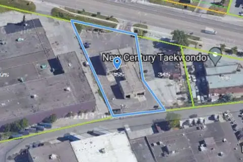
$5,250,000
355 Rexdale Boulevard
West Humber-Clairville, Toronto
Industrial · MLS® W13711782 · ROYAL LEPAGE FLOWER CITY REALTY
$5,100,000
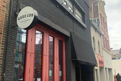
1096 Queen Street W
Little Portugal, Toronto
Investment · MLS® C13716162 · CENTURY 21 REGAL REALTY INC.
$5,000,000
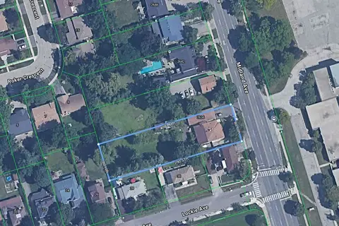
2636 Midland Avenue
Agincourt South-Malvern West, Toronto
Land · MLS® E13185350 · RE/MAX WEST REALTY INC.
$5,000,000
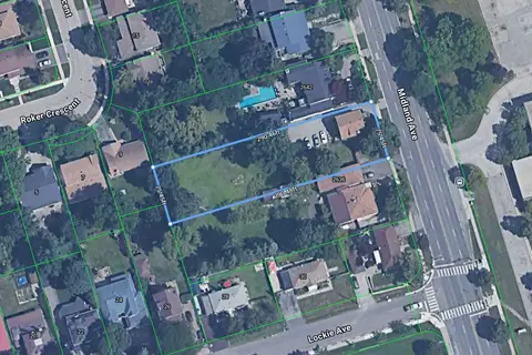
2640 Midland Avenue
Agincourt South-Malvern West, Toronto
Land · MLS® E13185482 · RE/MAX WEST REALTY INC.
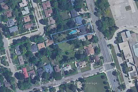
$5,000,000
2642 Midland Avenue
Agincourt South-Malvern West, Toronto
Land · MLS® E13239532 · RE/MAX WEST REALTY INC.
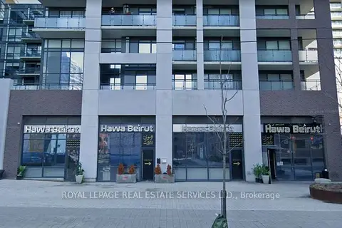
$4,999,000
462-464-466-468 Adelaide Street E
Moss Park, Toronto
Commercial Retail · MLS® C13560046 · ROYAL LEPAGE REAL ESTATE SERVICES LTD.
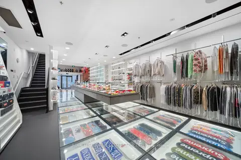
$4,999,000
273 Queen Street W
Waterfront Communities C1, Toronto
Commercial Retail · MLS® C13585492 · ROYAL LEPAGE REAL ESTATE SERVICES LTD.
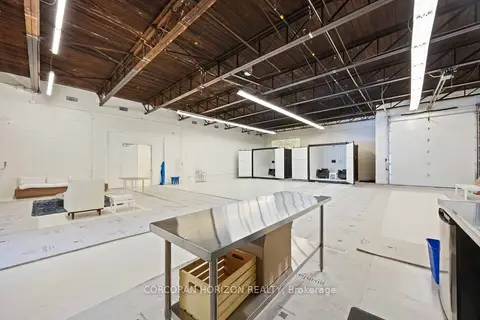
$4,999,000
914 Eastern Avenue
Greenwood-Coxwell, Toronto
Investment · MLS® E12805828 · CORCORAN HORIZON REALTY