914 Eastern Avenue
Greenwood-Coxwell, Toronto, M4L 1A4
$4,999,000
Listed 242 days ago · MLS® E12805828
About this home
Rarely offered 8,131 sq. ft. of highly flexible space in one of Toronto's fastest-evolving east end corridors. Featuring ~74 feet of frontage on Eastern Avenue, this property offers exceptional exposure, access, and long-term upside in a location surrounded by growth. Currently configured as one full-building user or four self-contained units, each within dependent entrances, varying ceiling heights, and unique attributes including a rear lane loading area. Located in trendy Leslieville, and minutes from The Beaches, the Studio District, and the transformative East Harbour development, with quick access to Downtown Toronto and the future East Harbour Transit Hub. Zoning allows for a wide range of permitted uses with development potential for multi-residential, live/work units, and other mixed-use concepts. A true trophy asset-perfect for an owner-occupier seeking a flagship location or an investor targeting flexibility, income potential, and long-term appreciation in a proven growth corridor.
Details
- Type
- Investment
- Lot
- 73.92 × 110 ft
- Garage
- Other
- Property tax
- $49,128 (2025)
- Neighbourhood
- Greenwood-Coxwell
- Municipality
- Toronto E01
Heating, cooling and services
- Heating
- Gas Forced Air Open
- Air conditioning
- Yes
- Utilities
- Yes
Building and exterior
- Building area
- 8,131 Square Feet
More
- Possession
- Immediate/ Flexible
- Cross street
- Leslie St & Eastern Ave
History of this address
2 earlier listings at this address, with sold and leased prices. Create a free account or sign in to see them.
Location
Location is approximate. See nearby homes on the map
Recent sales nearby
See what similar homes within 1 km sold for in the last year. Create a free account or sign in to see them.
The neighbourhood
Getting around Very walkable
- 🚇 Greenwood Subway2.2 km
- 🚇 Donlands Subway2.3 km
- 🚆 Danforth GO3.3 km
Within a 10-minute walk: 5 grocery stores, 37 cafés and restaurants, 9 parks, 4 pharmacies. Nearest grocery: Loblaws (350 m). Nearest park: Maple Leaf Forever Park (250 m).
Schools nearby
Elementary
- Duke of Connaught Junior and Senior Public School
EQAO: Gr 6 reading 85%, math 53%6 min walk - St. Joseph Catholic School Catholic
EQAO: Gr 6 reading 92%, math 58%11 min walk - Bruce Public School
EQAO: Gr 6 reading 93%, math 43%11 min walk - Leslieville Junior Public School
EQAO: Gr 6 reading 74%, math 33%13 min walk
Secondary
- Riverdale Collegiate Institute
EQAO: Gr 9 math 77%, literacy test 95%18 min walk - East Alternative School of Toronto1.5 km
EQAO: share of students meeting the provincial standard (2024–25). Ontario average: Gr 6 reading 86%, math 51%; Gr 9 math 55%; literacy test 83%.
Closest schools, not school zones. Check which school serves this address with the school board before relying on it.
Who lives here postal area M4L
- Owners / renters
- 61% / 39%
- Median household income
- $101,000
- Average age
- 40
- Children under 15
- 18%
- Homes
- 19% detached, 7% high-rise
- Commute by transit
- 22%
- Population
- 32,218
Languages spoken most at home besides English: Yue (Cantonese) 3%, Mandarin 0.7%, Spanish 0.7%, Urdu 0.6%.
Flood and conservation Flood plain
This address falls inside a mapped flood plain (Toronto and Region Conservation Authority). Building, additions and grading need a permit from the conservation authority, and flood insurance can cost more or be harder to get.
Screening maps only. Ask the conservation authority for a property inquiry before relying on this.
Safety
Major crime per resident in Greenwood-Coxwell (2025): 21% below the Toronto average, down 30% from the year before.
- Assaultabout average
- Break and enter28% below average
- Auto theft34% below average
- Robbery26% below average
- Theft from vehiclesabout average
- Shootings21% below average
Crime Severity Index for Toronto police: 60 vs 57 for Ontario (2025).
Police-reported figures for the whole neighbourhood, not this street. Rates use the area’s resident population.
Development nearby 4 active
-
50 LAING ST · 200 mSite Plan · NOAC Issued · applied 2022Site Plan application to permit two apartment buildings (Building A: 7 storeys, 24.5m and Building B: four storeys, 13.8m) of with a total of 130 dwelling…Application details
-
80 KNOX AVE · 100 mSite Plan · Under Review · applied 2022Site Plan Approval for a 12-storey mixed-use building having a non-residential gross floor area of 268.20 square metres, and a residential gross floor area of…Application details
-
1243 QUEEN ST E · 400 mSite Plan · NOAC Issued · applied 2022Site Plan Control application to facilitate the redevelopment of the site for a 9-storey mixed-use building having a non-residential gross floor area of…Application details
-
1249 QUEEN ST E · 400 mSite Plan · NOAC Issued · applied 2019Proposal for a 6 storey mid-rise building with 29 dwelling units, commercial space at grade and two levels of below grade parking.Application details
-
26 LAING ST · 200 mOfficial Plan / Zoning By-law Amendment · Closed · applied 2024Zoning By-law Amendment to permit a 14-storey (46.6m excluding mechanical penthouse) mixed-use building. A total of 166 dwelling units proposed, with…Application details
-
45 CONNAUGHT AVE · 300 mPlan of Condominium · Closed · applied 2024Draft Plan of Standard Condominium for 18 residential units, 7 residential parking spaces and 2 car share spaces.Application details
5 more within 500 m.
Rezoning, site plan, subdivision and condominium applications filed with the city.
Distances are approximate. Places © OpenStreetMap contributors. Neighbourhood figures: Statistics Canada, 2021 Census. School results: EQAO via Ontario Data Catalogue (Open Government Licence – Ontario). Flood and regulation mapping: Toronto and Region Conservation Authority open data. Neighbourhood crime: Toronto Police Service Public Safety Data Portal (Open Government Licence – Toronto Police Service). Crime Severity Index: Statistics Canada. Planning applications: City of Toronto open data.
Living here
Commute
To Union Station (downtown Toronto): 5 km. Transit times · Driving times
Coming transit
- 🚧 Gerrard 1.5 km
- 🚧 Leslieville Ontario Line1.7 km · opening early 2030s
Stations under construction or approved. Opening dates are the latest public estimates and often move.
Noise Nothing major nearby
No highway within 500 m, rail line within 300 m, or airport flight path nearby.
Distances from the map, not noise measurements. Visit at rush hour to judge for yourself.
What can be built R
Residential (with a site-specific exception).
- ✅ Up to 6 homes on the lot (multiplex): a sixplex ward
- ✅ Garden suite in the backyard
- ✅ Laneway suite, if the lot backs onto a lane
From Toronto’s Zoning By-law 569-2013 map. Lot size, setbacks and trees decide what actually fits; check with a planner before you buy.
Building permits
- Interior Demolition · 2014 · Work Not StartedTo complete interior demolitions to the existing one-storey office building and to block off three-doors.
3 permits on this block of the street in the last 2 years.
Permits filed with the City of Toronto. A permit doesn’t mean the work passed final inspection.
Trees
38 City street trees within 100 m. That’s about the Toronto average of 42.
Trees on City boulevards only, not private yards or parks.
Internet High-speed
50/10 Mbps or faster available here by cable, fibre or DSL (the federal high-speed target).
From the federal broadband map. Check exact speeds and providers for the address.
Zoning, heritage, building permits and street trees: City of Toronto open data (Open Government Licence – Toronto). Roads, rail, airports and planned stations © OpenStreetMap contributors. Internet: Innovation, Science and Economic Development Canada, National Broadband Data.
Listed by CORCORAN HORIZON REALTY.
Listing information provided by PropTx Innovations Inc. and TRREB; deemed reliable but not guaranteed accurate by PropTx.
Similar homes nearby
See more in Toronto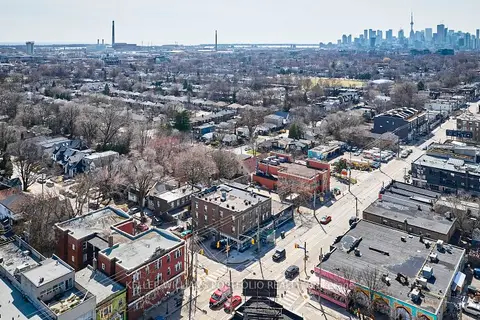
$5,450,000
1395 Gerrard Street E
Greenwood-Coxwell, Toronto
Investment · MLS® E13214716 · KELLER WILLIAMS PORTFOLIO REALTY
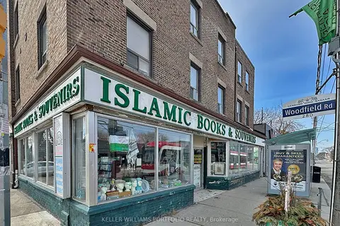
$5,450,000
1395 Gerrard Street E
Greenwood-Coxwell, Toronto
Store W Apt/Office · MLS® E13214726 · KELLER WILLIAMS PORTFOLIO REALTY
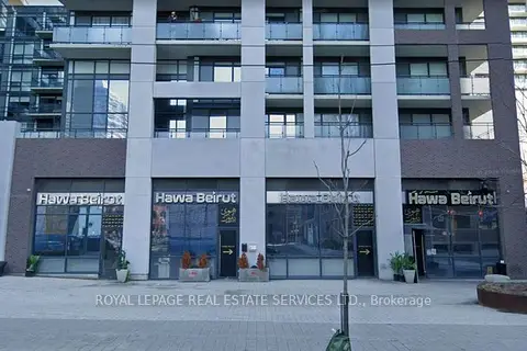
$4,999,000
462-464-466-468 Adelaide Street E
Moss Park, Toronto
Commercial Retail · MLS® C13560046 · ROYAL LEPAGE REAL ESTATE SERVICES LTD.
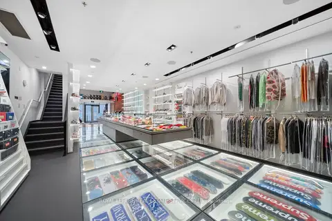
$4,999,000
273 Queen Street W
Waterfront Communities C1, Toronto
Commercial Retail · MLS® C13585492 · ROYAL LEPAGE REAL ESTATE SERVICES LTD.
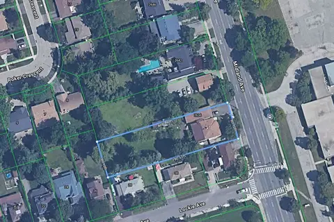
$5,000,000
2636 Midland Avenue
Agincourt South-Malvern West, Toronto
Land · MLS® E13185350 · RE/MAX WEST REALTY INC.
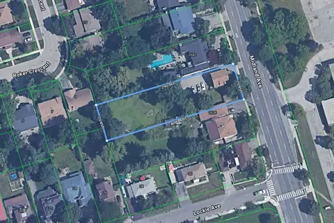
$5,000,000
2640 Midland Avenue
Agincourt South-Malvern West, Toronto
Land · MLS® E13185482 · RE/MAX WEST REALTY INC.
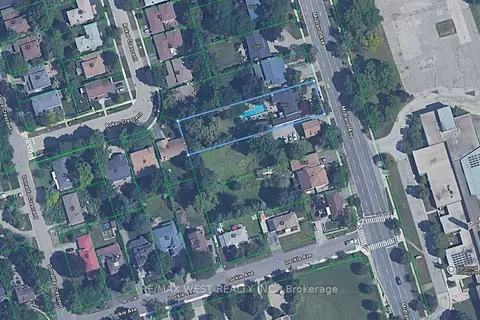
$5,000,000
2642 Midland Avenue
Agincourt South-Malvern West, Toronto
Land · MLS® E13239532 · RE/MAX WEST REALTY INC.
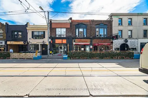
$4,950,000
Reduced $238,000
587-589 College Street
Trinity-Bellwoods, Toronto
Store W Apt/Office · MLS® C13839784 · METROGLOBE REALTY BROKERAGE CORP.