4201 Fox Road
329 - Mulgrave, Fort Erie, L0S 1S0
$875,000
- 3 bedrooms
- 2 bathrooms
- 10 parking
- 1100-1500 sq ft
Listed 167 days ago · MLS® X13092326
About this home
36 acres highlights this farm house backing onto conservation lands. Income galore with 3 further rental units. A beautiful spacious apartment is attached to the main home with a separate entrance. A third open concept unit is above the detached garage and finally a fourth separate unit located to the rear of the property. Hard to believe but all units are furnished with town water and upgraded septic system. Enjoy the privacy of the country throughout and the rear pond Is certainly a spot for sunny afternoon hangouts. Please refer to the many professional pictures for a true understanding of what is offered in this completed package.
Details
- Type
- Detached
- Style
- 2-Storey
- Size
- 1100-1500 sq ft
- Lot
- 1920.38 × 933.26 ft
- Basement
- Partial Basement
- Garage
- Detached
- Kitchens
- 1
- Property tax
- $4,692 (2026)
- Neighbourhood
- 329 - Mulgrave
- Municipality
- Fort Erie
- Price per sq ft
- $673 (51% above detached houses in Fort Erie, $446)
Interior
- Bedrooms
- 3 above ground
- Bathrooms
- 2 × 3-piece
- Rooms
- 9 above ground
- Family room or den
- No
- Fireplace
- No
- Features
- Accessory Apartment
Heating, cooling and services
- Heating
- Forced Air, Gas
- Air conditioning
- Central Air
- Water and sewer
- Septic
Building and exterior
- Style
- 2-Storey
- Exterior
- Vinyl Siding
- Roof
- Asphalt Shingle
- Foundation
- Concrete, Concrete Block, Stone
- Faces
- South
- Pool
- Above Ground
Parking
- Garage spaces
- 2
- Total parking
- 10
- Driveway and parking
- Private
Lot
- Size
- 1920.38 × 933.26 ft
- Acreage
- 25-49.99
More
- Possession
- 60-89 days
- Nearby
- Lake/Pond, Wooded/Treed
- Cross street
- OTT ROAD
History of this address
2 earlier listings at this address, with sold and leased prices. Create a free account or sign in to see them.
Location
Location is approximate. See nearby homes on the map
Recent sales nearby
See what similar homes within 1 km sold for in the last year. Create a free account or sign in to see them.
The neighbourhood
Getting around Car-dependent
No subway, LRT or GO station within a short trip.
Within a 10-minute walk: no grocery stores, 0 cafés and restaurants, 0 parks.
Schools nearby
Elementary
- Stevensville Public School
EQAO: Gr 6 reading 93%, math 75%2.3 km
EQAO: share of students meeting the provincial standard (2024–25). Ontario average: Gr 6 reading 86%, math 51%; Gr 9 math 55%; literacy test 83%.
Closest schools, not school zones. Check which school serves this address with the school board before relying on it.
Who lives here postal area L0S
- Owners / renters
- 87% / 13%
- Median household income
- $95,000
- Average age
- 48
- Children under 15
- 13%
- Homes
- 83% detached, 1% high-rise
- Commute by transit
- 0%
- Population
- 60,409
Languages spoken most at home besides English: Spanish 0.4%, Mandarin 0.4%, German 0.4%, Polish 0.2%.
Flood and conservation No mapped hazard
Not inside a mapped flood plain or regulated area in Niagara Peninsula Conservation’s mapping.
Screening maps only. Ask the conservation authority for a property inquiry before relying on this.
Safety
Crime Severity Index for Niagara Region (St. Catharines) police: 54 vs 57 for Ontario (2025).
Police-reported figures for the whole police service area, not this street. Rates use the area’s resident population.
Distances are approximate. Places © OpenStreetMap contributors. Neighbourhood figures: Statistics Canada, 2021 Census. School results: EQAO via Ontario Data Catalogue (Open Government Licence – Ontario). Flood and regulation mapping: Niagara Peninsula Conservation open data. Crime Severity Index: Statistics Canada.
Living here
Commute
To Union Station (downtown Toronto): 81 km. Transit times · Driving times
Noise Nothing major nearby
No highway within 500 m, rail line within 300 m, or airport flight path nearby.
Distances from the map, not noise measurements. Visit at rush hour to judge for yourself.
Internet High-speed
50/10 Mbps or faster available here by cable, fibre or DSL (the federal high-speed target).
From the federal broadband map. Check exact speeds and providers for the address.
Roads, rail, airports and planned stations © OpenStreetMap contributors. Internet: Innovation, Science and Economic Development Canada, National Broadband Data.
Listed by REVEL Realty Inc., Brokerage.
Listing information provided by PropTx Innovations Inc. and TRREB; deemed reliable but not guaranteed accurate by PropTx.
Similar homes nearby
See more in Fort Erie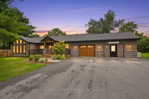
$875,000
2 bd2 ba12 pk1500-2000 ft²
617 Chapin Parkway
334 - Crescent Park, Fort Erie
Detached · MLS® X13756928 · RE/MAX ESCARPMENT GOLFI REALTY INC.
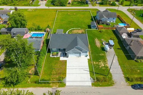
$875,000
Reduced $24,750
3 bd3 ba9 pk2500-3000 ft²
104 Neva Road
335 - Ridgeway, Fort Erie
Detached · MLS® X13768836 · COLDWELL BANKER MOMENTUM REALTY, BROKERAGE
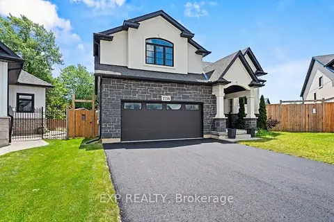
$879,900
3 bd2 ba6 pk1500-2000 ft²
2756 Arrowsmith Court
327 - Black Creek, Fort Erie
Detached · MLS® X13759452 · EXP REALTY
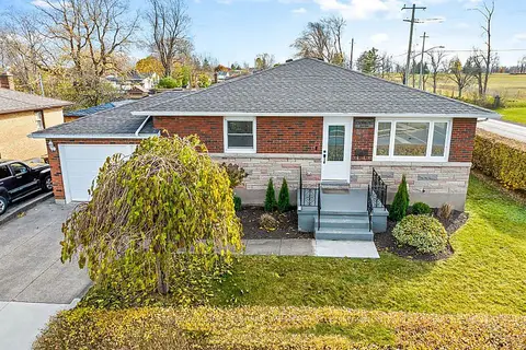
$890,000
3+2 bd3 ba5 pk1100-1500 ft²
197 Catherine Street
332 - Central, Fort Erie
Detached · MLS® X13093364 · KELLER WILLIAMS REFERRED URBAN REALTY
 New
$897,900
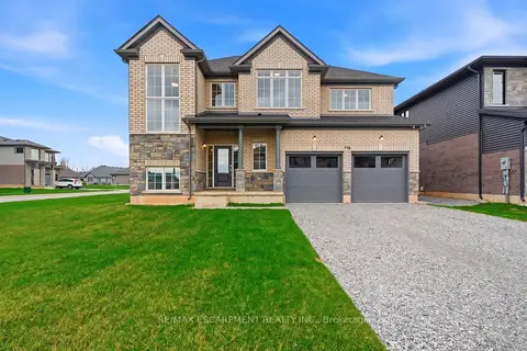
4 bd3 ba6 pk2500-3000 ft²
778 Bradford Avenue
334 - Crescent Park, Fort Erie
Detached · MLS® X14099536 · RE/MAX ESCARPMENT REALTY INC.
$899,000
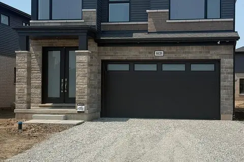
4 bd3 ba6 pk2500-3000 ft²
1031 Alliston Avenue
334 - Crescent Park, Fort Erie
Detached · MLS® X13716010 · EXP REALTY
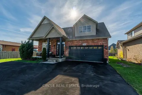
$899,000
4+3 bd4 ba7 pk2000-2500 ft²
501 GORHAM Road
335 - Ridgeway, Fort Erie
Detached · MLS® X13850076 · CIRCLE REAL ESTATE
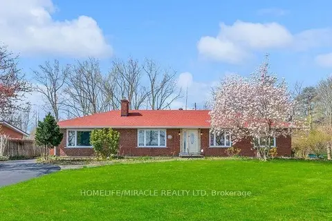
$899,900
3 bd4 ba12 pk2500-3000 ft²
3035 Niagara Parkway
327 - Black Creek, Fort Erie
Detached · MLS® X13711390 · HOMELIFE/MIRACLE REALTY LTD