42 Lowes Road W 34
Clairfields/Hanlon Business Park, Guelph, N1G 0H6
$2,350/mo
Reduced $100 from $2,450
- 2 bedrooms
- 2 bathrooms
- 1 parking
- 900-999 sq ft
Listed 39 days ago · MLS® X13770716
About this home
Thoughtfully positioned on the corner of the block, this brand-new end-unit stacked townhome delivers 980 square feet of bright, contemporary living in South Guelph's desirable Argyle Village. The multi-level floor plan opens into an airy main level framed by high ceilings and extra side windows that draw in continuous natural light. At the center of the home is a modern kitchen detailed with sleek quartz countertops, stainless steel appliances, and ample cabinet storage, transitioning smoothly into the dining and living areas. A discreet main-floor powder room, a separate utility space with in-suite laundry, and walk-out access to a private balcony complete this level. Durable, carpet-free flooring runs across both primary living floors, with carpeting limited strictly to the entry and connecting stairs. The upper level features two well-sized bedrooms with generous closet space and a full four-piece bathroom. Complete with a dedicated surface parking spot, this low-maintenance property is situated moments from University of Guelph transit lines, local shopping, dining, and scenic trails.
Details
- Type
- Condo Townhouse
- Style
- Stacked Townhouse
- Size
- 900-999 sq ft
- Basement
- None
- Garage
- None
- Kitchens
- 1
- Neighbourhood
- Clairfields/Hanlon Business Park
- Municipality
- Guelph
- Rent increase limit
- Depends on when the unit was first lived in: before Nov. 15, 2018 it’s covered by Ontario’s yearly limit (2.1% in 2026); after, there’s no cap.
Interior
- Bedrooms
- 2 above ground
- Bathrooms
- 1 × 4-piece (second), 1 × 2-piece (main)
- Rooms
- 5 above ground
- Family room or den
- No
- Fireplace
- No
- Laundry
- Ensuite
- Features
- Water Heater, Carpet Free
- Furnished
- Unfurnished
Heating, cooling and services
- Heating
- Forced Air, Gas
- Air conditioning
- Central Air
Building and exterior
- Style
- Stacked Townhouse
- Exterior
- Vinyl Siding, Brick Veneer
Parking
- Total parking
- 1
Condo
- Balcony
- Open
- Exposure
- North East
- Property manager
- Duka Property Management
Rental terms
- Rent includes
- Building Insurance, Parking
More
- Possession
- Immediate
- Cross street
- Gordon & Lowes
Location
Location is approximate. See nearby homes on the map
The neighbourhood
Getting around Walkable
No subway, LRT or GO station within a short trip.
Within a 10-minute walk: 2 grocery stores, 15 cafés and restaurants, 5 parks, 2 pharmacies. Nearest grocery: Zehrs (750 m). Nearest park: Lewis Farm Park (300 m).
Schools nearby
Elementary
- St. Paul Catholic School Catholic
EQAO: Gr 6 reading 95%, math 82%11 min walk - Westminster Woods Public School
EQAO: Gr 6 reading 98%, math 72%1.3 km - Rickson Ridge Public School
EQAO: Gr 6 reading 94%, math 68%1.5 km - Sir Isaac Brock Public School
EQAO: Gr 6 reading 95%, math 88%1.6 km
Secondary
- Wellington Centre for Continuing Education9 min walk
- Bishop Macdonell Catholic High School Catholic
EQAO: Gr 9 math 72%, literacy test 92%1.6 km - Two Rivers Secondary School2.0 km
EQAO: share of students meeting the provincial standard (2024–25). Ontario average: Gr 6 reading 86%, math 51%; Gr 9 math 55%; literacy test 83%.
Closest schools, not school zones. Check which school serves this address with the school board before relying on it.
Who lives here postal area N1G
- Owners / renters
- 65% / 35%
- Median household income
- $98,000
- Average age
- 41
- Children under 15
- 14%
- Homes
- 55% detached, 7% high-rise
- Commute by transit
- 5%
- Population
- 29,688
Languages spoken most at home besides English: Mandarin 2%, Punjabi (Panjabi) 0.9%, Arabic 0.6%, Spanish 0.6%.
Flood and conservation No mapped hazard
Not inside a mapped flood plain or regulated area in Credit Valley Conservation’s mapping.
Screening maps only. Ask the conservation authority for a property inquiry before relying on this.
Safety
Crime Severity Index for Guelph police: 58 vs 57 for Ontario (2025).
Police-reported figures for the whole police service area, not this street. Rates use the area’s resident population.
Distances are approximate. Places © OpenStreetMap contributors. Neighbourhood figures: Statistics Canada, 2021 Census. School results: EQAO via Ontario Data Catalogue (Open Government Licence – Ontario). Flood and regulation mapping: Credit Valley Conservation open data. Crime Severity Index: Statistics Canada.
Living here
Commute
To downtown Kitchener: 25 km. Transit times · Driving times
Noise Nothing major nearby
No highway within 500 m, rail line within 300 m, or airport flight path nearby.
Distances from the map, not noise measurements. Visit at rush hour to judge for yourself.
Internet High-speed
50/10 Mbps or faster available here by cable, fibre or DSL (the federal high-speed target).
From the federal broadband map. Check exact speeds and providers for the address.
Roads, rail, airports and planned stations © OpenStreetMap contributors. Internet: Innovation, Science and Economic Development Canada, National Broadband Data.
Listed by Royal LePage Royal City Realty.
Listing information provided by PropTx Innovations Inc. and TRREB; deemed reliable but not guaranteed accurate by PropTx.
Similar homes nearby
See more in Guelph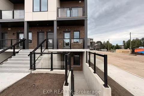
$2,350/mo
2 bd2 ba1 pk900-999 ft²
42 Lowes Rd. West Road 35
Clairfields/Hanlon Business Park, Guelph
Condo Townhouse · MLS® X13841678 · EXP REALTY
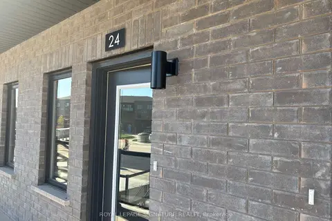
$2,300/mo
Reduced $150
2 bd2 ba1 pk700-799 ft²
42 Lowes Road W 24
Clairfields/Hanlon Business Park, Guelph
Condo Townhouse · MLS® X13806116 · ROYAL LEPAGE SIGNATURE REALTY
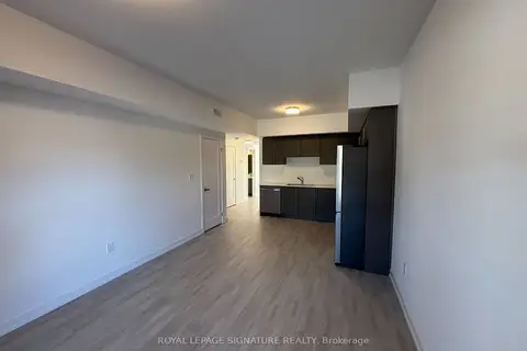
$2,300/mo
Reduced $100
2 bd2 ba1 pk700-799 ft²
42 Lowes Road W 28
Clairfields/Hanlon Business Park, Guelph
Condo Townhouse · MLS® X13821860 · ROYAL LEPAGE SIGNATURE REALTY
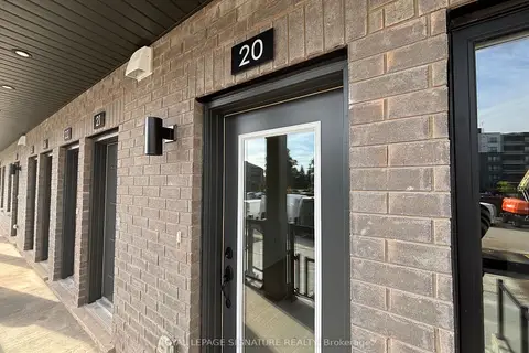
$2,300/mo
Reduced $100
2 bd2 ba1 pk700-799 ft²
42 Lowes Road W 20
Clairfields/Hanlon Business Park, Guelph
Condo Townhouse · MLS® X13821866 · ROYAL LEPAGE SIGNATURE REALTY
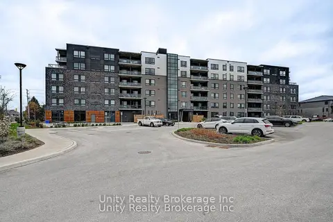
$2,450/mo
2 bd2 ba1 pk800-899 ft²
26 Lowes Road W
Clairfields/Hanlon Business Park, Guelph
Condo Apartment · MLS® X13719422 · Unity Realty Brokerage Inc
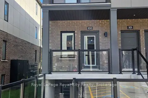
$2,450/mo
2 bd2 ba1 pk700-799 ft²
42 Lowes Road SW 100
Clairfields/Hanlon Business Park, Guelph
Condo Townhouse · MLS® X13880156 · Royal LePage Royal City Realty
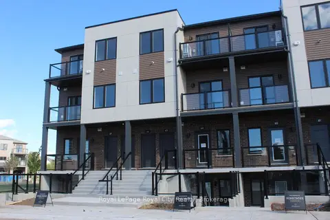
$2,480/mo
Reduced $80
2 bd2 ba1 pk700-799 ft²
42 Lowes Road W 64
Clairfields/Hanlon Business Park, Guelph
Condo Townhouse · MLS® X13726674 · Royal LePage Royal City Realty
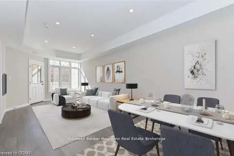
$2,700/mo
2 bd2 ba1 pk1000-1199 ft²
333 GOSLING Gardens 103
Clairfields/Hanlon Business Park, Guelph
Condo Townhouse · MLS® X14081292 · Coldwell Banker Neumann Real Estate