39 Cardico Drive Ground
Rural Whitchurch-Stouffville, Whitchurch-Stouffville, L4A 2G5
$19/mo
Listed 164 days ago · MLS® N13106474
About this home
18,452sqft Free-standing Industrial Warehouse In the Fast Growing Gormley Industrial Area. Ground Floor For Lease Only. Currently Operating As A Welding And Iron Work Business. Industrial Spray Booth And 3 Cranes Overhang For Heavy Duty Uses. 24FT Clear Height. EH Zoning Supports Many Use: Manufacture; Warehousing & Distribution; Heavy Equipment; Etc. 1.5 Acres Of Land W/ Optional Outdoor Storage. Close To Hwy 404, Go Station, Richmond Hill, Stouffville.
Details
- Type
- Industrial
- Age
- 16-30 years
- Lot
- 32.01 × 181.8 ft
- Garage
- Other
- Property tax
- $5 (2026)
- Neighbourhood
- Rural Whitchurch-Stouffville
- Municipality
- Whitchurch-Stouffville
Heating, cooling and services
- Heating
- Electric Forced Air
- Air conditioning
- Yes
- Utilities
- Yes
Building and exterior
- Age
- 16-30 years
- Building area
- 18,452 Square Feet
Rental terms
- Minimum term
- 36 months
More
- Possession
- Immediate
- Cross street
- Cardico Dr & Woodbine Ave
- Business type
- Factory/Manufacturing
Location
Location is approximate. See nearby homes on the map
The neighbourhood
Getting around Car-dependent
- 🚆 Gormley1.8 km
Within a 10-minute walk: no grocery stores, 0 cafés and restaurants, 0 parks.
Who lives here postal area L4A
- Owners / renters
- 88% / 12%
- Median household income
- $122,000
- Average age
- 41
- Children under 15
- 19%
- Homes
- 75% detached, 1% high-rise
- Commute by transit
- 3%
- Population
- 50,389
Languages spoken most at home besides English: Yue (Cantonese) 6.1%, Mandarin 3.6%, Tamil 2.8%, Italian 0.5%.
Flood and conservation No mapped hazard
Not inside a mapped flood plain or regulated area.
Screening maps only. Ask the conservation authority for a property inquiry before relying on this.
Safety
Crime Severity Index for York Region police: 50 vs 57 for Ontario (2025).
Police-reported figures for the whole police service area, not this street. Rates use the area’s resident population.
Distances are approximate. Places © OpenStreetMap contributors. Neighbourhood figures: Statistics Canada, 2021 Census. Crime Severity Index: Statistics Canada.
Living here
Commute
To Union Station (downtown Toronto): 34 km. Transit times · Driving times
Noise Nothing major nearby
No highway within 500 m, rail line within 300 m, or airport flight path nearby.
Distances from the map, not noise measurements. Visit at rush hour to judge for yourself.
Internet High-speed
50/10 Mbps or faster available here by cable, fibre or DSL (the federal high-speed target).
From the federal broadband map. Check exact speeds and providers for the address.
Roads, rail, airports and planned stations © OpenStreetMap contributors. Internet: Innovation, Science and Economic Development Canada, National Broadband Data.
Listed by SMART SOLD REALTY.
Listing information provided by PropTx Innovations Inc. and TRREB; deemed reliable but not guaranteed accurate by PropTx.
Similar homes nearby
See more in Whitchurch-Stouffville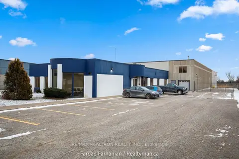
$17/mo
42 Cardico Drive
Rural Whitchurch-Stouffville, Whitchurch-Stouffville
Industrial · MLS® N13446604 · RE/MAX REALTRON REALTY INC.
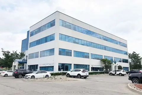
$19/mo
37 Sandiford Drive 415
Stouffville, Whitchurch-Stouffville
Office · MLS® N13488776 · CENTURY 21 LEADING EDGE REALTY INC.

$19/mo
37 Sandiford Drive 416
Stouffville, Whitchurch-Stouffville
Office · MLS® N13488794 · CENTURY 21 LEADING EDGE REALTY INC.
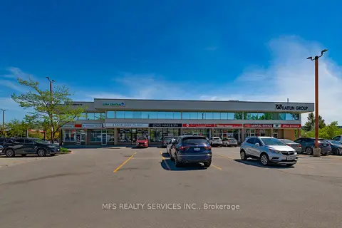
$19/mo
28 Sandiford Drive 204
Stouffville, Whitchurch-Stouffville
Office · MLS® N13767046 · MFS REALTY SERVICES INC.
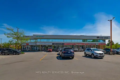
$19/mo
28 Sandiford Drive 203-5
Stouffville, Whitchurch-Stouffville
Office · MLS® N13772508 · MFS REALTY SERVICES INC.
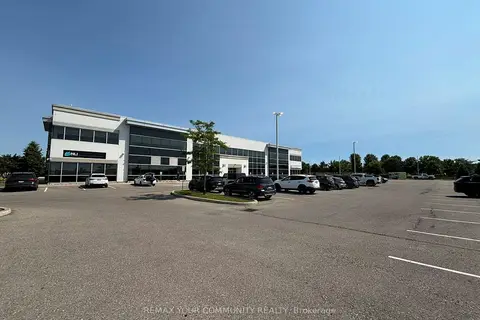
$20/mo
175 Mostar Street Unit 200D
Stouffville, Whitchurch-Stouffville
Office · MLS® N13153948 · REMAX YOUR COMMUNITY REALTY
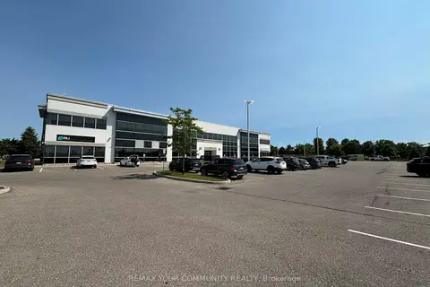
$20/mo
175 Mostar Street Unit 200E
Stouffville, Whitchurch-Stouffville
Office · MLS® N13153958 · REMAX YOUR COMMUNITY REALTY
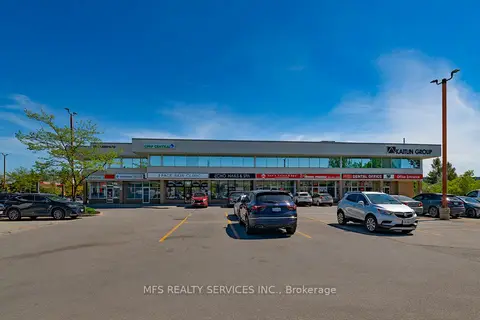
$20/mo
28 Sandiford Drive 206
Stouffville, Whitchurch-Stouffville
Office · MLS® N13767006 · MFS REALTY SERVICES INC.