375 Danforth Road 6
Clairlea-Birchmount, Toronto, M1L 3X8
$49,900
- 2 bathrooms
Listed 11 days ago · MLS® E13879232
About this home
TURNKEY AUTOMOTIVE BUSINESS OPPORTUNITY IN A HIGH-TRAFFIC SCARBOROUGH LOCATION! THIS WELL-ESTABLISHED AUTOMOTIVE BUSINESS OFFERS AN EXCITING OPPORTUNITY FOR AN ENTREPRENEUR, INVESTOR, OR EXPERIENCED OPERATOR LOOKING TO OWN AND GROW A READY-TO-OPERATE BUSINESS. STRATEGICALLY LOCATED IN A BUSY AND HIGHLY VISIBLE AREA WITH STRONG VEHICULAR AND FOOT TRAFFIC, THE BUSINESS BENEFITS FROM A CONVENIENT LOCATION AND A STEADY FLOW OF POTENTIAL CUSTOMERS. THE PROPERTY FEATURES A FUNCTIONAL AUTOMOTIVE SETUP SUITABLE FOR A RANGE OF SERVICES, PROVIDING AN EXCELLENT FOUNDATION FOR IMMEDIATE OPERATIONS AND FUTURE EXPANSION. WHETHER YOU'RE LOOKING TO TAKE OVER AN EXISTING OPERATION OR BUILD YOUR OWN AUTOMOTIVE BRAND, THIS IS A FANTASTIC CHANCE TO STEP INTO A BUSINESS WITH GREAT POTENTIAL. DON'T MISS THIS OPPORTUNITY TO BECOME YOUR OWN BOSS AND TAKE YOUR AUTOMOTIVE BUSINESS TO THE NEXT LEVEL!
Details
- Type
- Sale Of Business
- Lot
- 23 × 39 ft
- Garage
- Covered
- Neighbourhood
- Clairlea-Birchmount
- Municipality
- Toronto E04
Interior
- Bathrooms
- 2 × bathroom
Heating, cooling and services
- Heating
- Electric Hot Water
- Water and sewer
- Sanitary+Storm Available
- Utilities
- Yes
More
- Possession
- Flexible
- Cross street
- Birchmount/Danforth
- Business type
- Automotive Related
Location
Location is approximate. See nearby homes on the map
Recent sales nearby
See what similar homes within 1 km sold for in the last year. Create a free account or sign in to see them.
The neighbourhood
Getting around Very walkable
- 🚇 Chester Subway1 min walk
- 🚇 Broadview Subway8 min walk
- 🚆 Danforth GO4.3 km
Within a 10-minute walk: 10 grocery stores, 98 cafés and restaurants, 14 parks, 10 pharmacies. Nearest grocery: The Big Carrot (100 m). Nearest park: Logan Avenue Parkette (200 m).
Schools nearby
Elementary
- Frankland Community School
EQAO: Gr 6 reading 97%, math 52%2 min walk - Jackman Avenue Junior Public School
EQAO: Gr 6 reading 90%, math 55%6 min walk - Holy Name Catholic School Catholic
EQAO: Gr 6 reading 91%, math 69%6 min walk - Withrow Avenue Junior Public School
EQAO: Gr 6 reading 94%, math 62%12 min walk
Secondary
- CALC Secondary School11 min walk
- Quest Alternative Senior School12 min walk
- Earl Grey Senior Public School15 min walk
EQAO: share of students meeting the provincial standard (2024–25). Ontario average: Gr 6 reading 86%, math 51%; Gr 9 math 55%; literacy test 83%.
Closest schools, not school zones. Check which school serves this address with the school board before relying on it.
Who lives here postal area M1L
- Owners / renters
- 51% / 49%
- Median household income
- $78,000
- Average age
- 40
- Children under 15
- 17%
- Homes
- 27% detached, 34% high-rise
- Commute by transit
- 35%
- Population
- 35,833
Languages spoken most at home besides English: Bengali 8%, Tagalog (Pilipino, Filipino) 2.6%, Urdu 2.1%, Yue (Cantonese) 2%.
Flood and conservation No mapped hazard
Not inside a mapped flood plain or regulated area.
Screening maps only. Ask the conservation authority for a property inquiry before relying on this.
Safety
Major crime per resident in North Riverdale (2025): about the Toronto average, up 18% from the year before.
- Assaultabout average
- Break and enter55% above average
- Auto theft53% below average
- Robberyabout average
- Theft from vehicles28% above average
- Shootingsabout average
Crime Severity Index for Toronto police: 60 vs 57 for Ontario (2025).
Police-reported figures for the whole neighbourhood, not this street. Rates use the area’s resident population.
Development nearby
-
60 BOWDEN ST · 150 mSite Plan · Closed · applied 2023Site Plan Approval for proposed eight-storey mass timber mixed use building, which will retain elements of the existing building. The proposal will consist a…Application details
Rezoning, site plan, subdivision and condominium applications filed with the city.
Distances are approximate. Places © OpenStreetMap contributors. Neighbourhood figures: Statistics Canada, 2021 Census. School results: EQAO via Ontario Data Catalogue (Open Government Licence – Ontario). Neighbourhood crime: Toronto Police Service Public Safety Data Portal (Open Government Licence – Toronto Police Service). Crime Severity Index: Statistics Canada. Planning applications: City of Toronto open data.
Living here
Commute
To Union Station (downtown Toronto): 4 km. Transit times · Driving times
Coming transit
- 🚧 Pape 700 m
- 🚧 Gerrard 1.3 km
- 🚧 Cosburn 1.4 km
Stations under construction or approved. Opening dates are the latest public estimates and often move.
Noise Nothing major nearby
No highway within 500 m, rail line within 300 m, or airport flight path nearby.
Distances from the map, not noise measurements. Visit at rush hour to judge for yourself.
What can be built CR
Commercial Residential (with a site-specific exception).
From Toronto’s Zoning By-law 569-2013 map. Lot size, setbacks and trees decide what actually fits; check with a planner before you buy.
Heritage Listed
This address is on Toronto’s Heritage Register: Listed. The City must get 60 days’ notice before demolition, and it can move to designate the property.
Building permits
- Interior Alterations · 2016 · Permit IssuedRemoval of non-load bearing wall
4 permits on this block of the street in the last 2 years, including 1 new home.
Permits filed with the City of Toronto. A permit doesn’t mean the work passed final inspection.
Trees
54 City street trees within 100 m. That’s more than the Toronto average of 42.
Trees on City boulevards only, not private yards or parks.
Internet High-speed
50/10 Mbps or faster available here by cable, fibre or DSL (the federal high-speed target).
From the federal broadband map. Check exact speeds and providers for the address.
Zoning, heritage, building permits and street trees: City of Toronto open data (Open Government Licence – Toronto). Roads, rail, airports and planned stations © OpenStreetMap contributors. Internet: Innovation, Science and Economic Development Canada, National Broadband Data.
Listed by EXP REALTY.
Listing information provided by PropTx Innovations Inc. and TRREB; deemed reliable but not guaranteed accurate by PropTx.
Similar homes nearby
See more in Toronto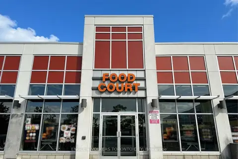
$55,000
Reduced $10,000
41 Lebovic Avenue 118
Clairlea-Birchmount, Toronto
Sale Of Business · MLS® E13836426 · ENGEL & VOLKERS TORONTO CITY
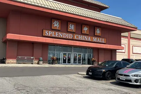
$49,900
4675 Steeles Avenue E 2C8
Milliken, Toronto
Commercial Retail · MLS® E13048020 · HOMELIFE TOP STAR REALTY INC.
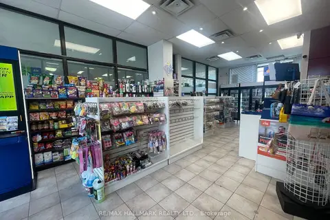
$49,900
1 ba
8 Glen Watford Drive Unit G29
Agincourt South-Malvern West, Toronto
Sale Of Business · MLS® E13802050 · RE/MAX HALLMARK REALTY LTD.
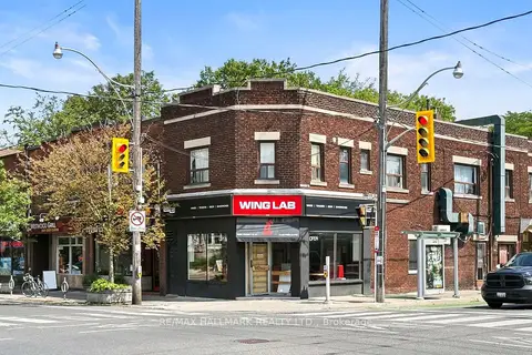
$49,900
Reduced $30,000
523 Annette Street
High Park North, Toronto
Sale Of Business · MLS® W13660084 · RE/MAX HALLMARK REALTY LTD.

$50,000
Reduced $89,800
1 ba
5519 Yonge Street 300
Willowdale East, Toronto
Sale Of Business · MLS® C13121844 · HOMELIFE LANDMARK REALTY INC.
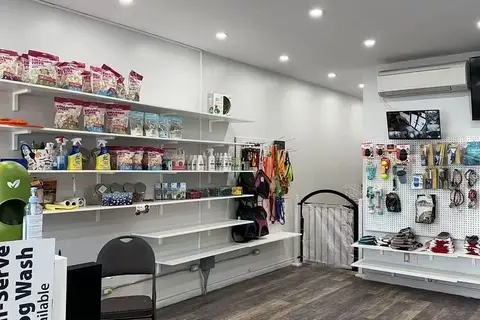
$50,000
4140 Bathurst Street 4136
Clanton Park, Toronto
Sale Of Business · MLS® C13442208 · HOMELIFE LANDMARK REALTY INC.
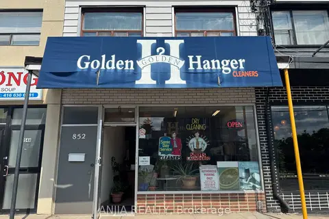
$50,000
1 ba
852 Sheppard Avenue W
Bathurst Manor, Toronto
Sale Of Business · MLS® C13687396 · ANJIA REALTY
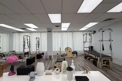
$50,000
5635 YONGE Street 207
Willowdale East, Toronto
Sale Of Business · MLS® C13819444 · NU STREAM REALTY (TORONTO) INC.