3610 Mcnicoll Avenue 109
Malvern, Toronto, M1X 1G4
$7,825/mo
- 1 bathrooms
Listed 50 days ago · MLS® E13728732
About this home
Fully renovated commercial condo unit, previously configured as a modern medical facility, ideally locatedat the high-exposure intersection of Markham Rd & McNicoll Ave. Excellent street visibility with premiumsignage exposure at a busy intersection.Functional, move-in-ready layout featuring 2 separate entrances, reception area, washroom, laundry area,kitchen, CCTV system, and existing data cabling.Surrounded by established medical and healthcare businesses generating consistent patient traffic, includingdentists, orthodontists, optometrists, dermatology, physiotherapy, and pharmacy uses. Medical exclusivityavailable, making this an excellent opportunity for medical, healthcare, or related professional uses.Ample free plaza parking for clients and staff. Potential to construct a mezzanine level, subject torequired approvals, to increase usable space.Multiple permitted uses provide flexibility for a variety of professional, retail, service, andmedical-related businesses.
Details
- Type
- Commercial Retail
- Garage
- Plaza
- Property tax
- $9,555 (2025)
- Neighbourhood
- Malvern
- Municipality
- Toronto E11
Interior
- Bathrooms
- 1 × bathroom
Heating, cooling and services
- Heating
- Gas Forced Air Open
- Air conditioning
- Yes
- Water and sewer
- Sanitary+Storm
- Utilities
- Available
Building and exterior
- Building area
- 1,250 Square Feet
Rental terms
- Minimum term
- 24 months
More
- Possession
- TBN
- Cross street
- MARKHAM AND McNicoll Ave
Location
Location is approximate. See nearby homes on the map
The neighbourhood
Getting around Car-dependent
- 🚆 Milliken GO4.7 km
Within a 10-minute walk: no grocery stores, 2 cafés and restaurants, 1 park. Nearest park: Hummingbird Park (700 m).
Schools nearby
Elementary
- Brookside Public School
EQAO: Gr 6 reading 89%, math 55%15 min walk - Blessed Pier Giorgio Frassati Catholic School Catholic
EQAO: Gr 6 reading 96%, math 54%15 min walk - Thomas L Wells Public School
EQAO: Gr 6 reading 91%, math 74%1.4 km - St. Gabriel Lalemant Catholic School Catholic
EQAO: Gr 6 reading 75%, math 33%2.0 km
EQAO: share of students meeting the provincial standard (2024–25). Ontario average: Gr 6 reading 86%, math 51%; Gr 9 math 55%; literacy test 83%.
Closest schools, not school zones. Check which school serves this address with the school board before relying on it.
Who lives here postal area M1X
- Owners / renters
- 88% / 12%
- Median household income
- $122,000
- Average age
- 39
- Children under 15
- 16%
- Homes
- 71% detached
- Commute by transit
- 12%
- Population
- 14,810
Languages spoken most at home besides English: Tamil 24.2%, Gujarati 2.7%, Tagalog (Pilipino, Filipino) 2.2%, Yue (Cantonese) 1.5%.
Flood and conservation No mapped hazard
Not inside a mapped flood plain or regulated area.
Screening maps only. Ask the conservation authority for a property inquiry before relying on this.
Safety
Major crime per resident in Morningside Heights (2025): about the Toronto average, about the same from the year before.
- Assault37% below average
- Break and enter21% below average
- Auto theft61% above average
- Robbery76% above average
- Theft from vehiclesabout average
- Shootings129% above average
Crime Severity Index for Toronto police: 60 vs 57 for Ontario (2025).
Police-reported figures for the whole neighbourhood, not this street. Rates use the area’s resident population.
Development nearby 2 active
-
30 IRONSIDE CRES · 350 mPlan of Condominium · Draft Plan Approved · applied 2021Draft Plan of Condominium for Phase 2 and Phase 3, to facilitate the development of 8 standard commercial condominium units in Phase 2, and 19 units in Phase 3.Application details
-
1159 TAPSCOTT RD · 350 mSite Plan · Under Review · applied 2020INACTIVE Development of vacant land for a concrete batching plant and ancillary office trailers.Application details
Rezoning, site plan, subdivision and condominium applications filed with the city.
Distances are approximate. Places © OpenStreetMap contributors. Neighbourhood figures: Statistics Canada, 2021 Census. School results: EQAO via Ontario Data Catalogue (Open Government Licence – Ontario). Neighbourhood crime: Toronto Police Service Public Safety Data Portal (Open Government Licence – Toronto Police Service). Crime Severity Index: Statistics Canada. Planning applications: City of Toronto open data.
Living here
Commute
To Union Station (downtown Toronto): 23 km. Transit times · Driving times
Noise 1 source nearby
- 🚆 Rail line (Havelock Subdivision)300 m
Distances from the map, not noise measurements. Visit at rush hour to judge for yourself.
What can be built E
Employment Industrial.
From Toronto’s Zoning By-law 569-2013 map. Lot size, setbacks and trees decide what actually fits; check with a planner before you buy.
Building permits
- Interior Alterations · 2018 · InspectionProposal to combine units 6 and 7 for medical office use.
- Interior Alterations · 2017 · Revision IssuedRevision 1. Structural bearing capacity has been revised to be 2160 lbs/sqft
- Interior Alterations · 2017 · InspectionInterior alterations to financial office
- Interior Alterations · 2016 · ClosedProposal for interior alterations to convert retail store in unit 4 into a take-out restaurant (65m2).
1 permit on this block of the street in the last 2 years.
Permits filed with the City of Toronto. A permit doesn’t mean the work passed final inspection.
Trees
15 City street trees within 100 m. That’s fewer than the Toronto average of 42.
Trees on City boulevards only, not private yards or parks.
Internet High-speed
50/10 Mbps or faster available here by cable, fibre or DSL (the federal high-speed target).
From the federal broadband map. Check exact speeds and providers for the address.
Zoning, heritage, building permits and street trees: City of Toronto open data (Open Government Licence – Toronto). Roads, rail, airports and planned stations © OpenStreetMap contributors. Internet: Innovation, Science and Economic Development Canada, National Broadband Data.
Listed by RE/MAX COMMUNITY REALTY INC..
Listing information provided by PropTx Innovations Inc. and TRREB; deemed reliable but not guaranteed accurate by PropTx.
Similar homes nearby
See more in Toronto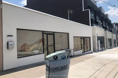
$7,800/mo
1517-19 O Connor Drive
O'Connor-Parkview, Toronto
Commercial Retail · MLS® E13778662 · INTERNATIONAL REALTY FIRM, INC.
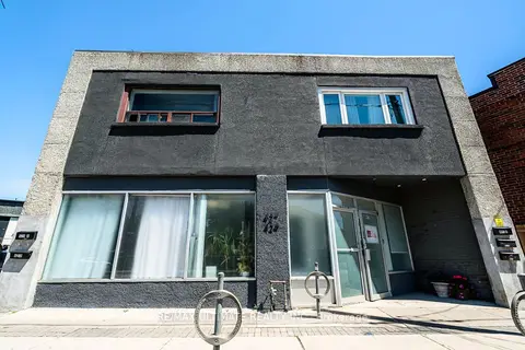
$7,900/mo
2 ba
427 Vaughan Road Main
Humewood-Cedarvale, Toronto
Store W Apt/Office · MLS® C13763502 · RE/MAX ULTIMATE REALTY INC.
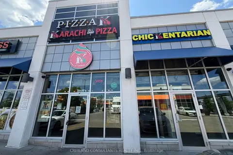
$7,750/mo
55 Lebovic Avenue C104 & C105 (2nd Floor)
Clairlea-Birchmount, Toronto
Commercial Retail · MLS® E13614580 · CREILAND CONSULTANTS REALTY INC.
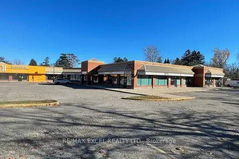
$7,900/mo
4679 Kingston Road 12
West Hill, Toronto
Commercial Retail · MLS® E13631940 · RE/MAX EXCEL REALTY LTD.
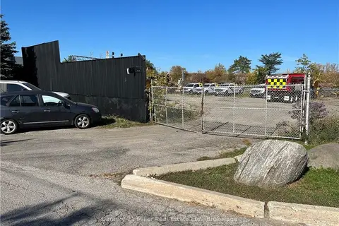
$7,900/mo
1 Whitlam Avenue
Long Branch, Toronto
Land · MLS® W13468556 · Century 21 Miller Real Estate Ltd.
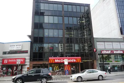
$7,950/mo
20 Eglinton Avenue E 500D
Mount Pleasant East, Toronto
Commercial Retail · MLS® C7406592 · INTERCITY REALTY INC.
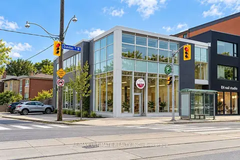
$7,950/mo
1269 Dundas Street W Rear Unit
Trinity-Bellwoods, Toronto
Commercial Retail · MLS® C13862668 · RE/MAX ULTIMATE REALTY INC.
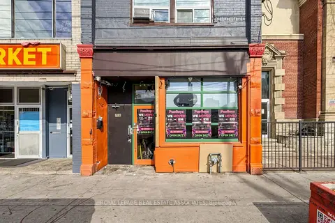
$7,700/mo
592 Queen Street W Rear
Trinity-Bellwoods, Toronto
Commercial Retail · MLS® C13886266 · ROYAL LEPAGE REAL ESTATE ASSOCIATES