1 Whitlam Avenue
Long Branch, Toronto, M8V 2K2
$7,900/mo
Listed 122 days ago · MLS® W13468556
About this home
Incredible Opportunity To Lease Approximately 11,500 Sq Ft Of Land In Desirable Long Branch Location! Property Allows For Many Permitted Uses. Lease Includes The Portion Of The Land Shown To The East Of The Building - Not The Actual Building Itself. Lease Area Is Fenced In, Close To Highways And All Amenities!
Details
- Type
- Land
- Lot
- 100 × 115 ft
- Property tax
- $1 (2026)
- Neighbourhood
- Long Branch
- Municipality
- Toronto W06
Building and exterior
- Building area
- 11,500 Square Feet
Rental terms
- Minimum term
- 12 months
More
- Possession
- Flexible
- Cross street
- Whitlam and Twenty Second
- Business type
- Industrial
Location
Location is approximate. See nearby homes on the map
The neighbourhood
Getting around Walkable
- 🚆 Long Branch GO2.0 km
Within a 10-minute walk: no grocery stores, 25 cafés and restaurants, 5 parks, 3 pharmacies. Nearest park: Don Russell Memorial Park (250 m).
Schools nearby
Elementary
- Twentieth Street Junior School
EQAO: Gr 3 reading 69%, math 69%8 min walk - The Holy Trinity Catholic School Catholic
EQAO: Gr 6 reading 85%, math 69%12 min walk - James S. Bell Junior Middle School
EQAO: Gr 6 reading 92%, math 55%16 min walk - St. Josaphat Catholic School Catholic1.3 km
Secondary
- Lakeshore Collegiate Institute
EQAO: Gr 9 math 42%, literacy test 75%6 min walk - Father John Redmond Catholic Secondary School Catholic
EQAO: Gr 9 math 75%, literacy test 94%15 min walk
EQAO: share of students meeting the provincial standard (2024–25). Ontario average: Gr 6 reading 86%, math 51%; Gr 9 math 55%; literacy test 83%.
Closest schools, not school zones. Check which school serves this address with the school board before relying on it.
Who lives here postal area M8V
- Owners / renters
- 49% / 51%
- Median household income
- $79,000
- Average age
- 42
- Children under 15
- 11%
- Homes
- 15% detached, 57% high-rise
- Commute by transit
- 21%
- Population
- 44,144
Languages spoken most at home besides English: Spanish 1.9%, Polish 1.9%, Russian 1.7%, Tibetan 1.4%.
Flood and conservation No mapped hazard
Not inside a mapped flood plain or regulated area.
Screening maps only. Ask the conservation authority for a property inquiry before relying on this.
Safety
Major crime per resident in New Toronto (2025): about the Toronto average, down 24% from the year before.
- Assaultabout average
- Break and enterabout average
- Auto theft35% below average
- Robberyabout average
- Theft from vehiclesabout average
- Shootings88% above average
Crime Severity Index for Toronto police: 60 vs 57 for Ontario (2025).
Police-reported figures for the whole neighbourhood, not this street. Rates use the area’s resident population.
Development nearby
-
355 HORNER AVE · 450 mSite Plan · Closed · applied 2021Proposed one-storey addition to the north side of an existing transport warehouse. A new mezzanine area is also proposed within the building to expand the…Application details
Rezoning, site plan, subdivision and condominium applications filed with the city.
Distances are approximate. Places © OpenStreetMap contributors. Neighbourhood figures: Statistics Canada, 2021 Census. School results: EQAO via Ontario Data Catalogue (Open Government Licence – Ontario). Neighbourhood crime: Toronto Police Service Public Safety Data Portal (Open Government Licence – Toronto Police Service). Crime Severity Index: Statistics Canada. Planning applications: City of Toronto open data.
Living here
Commute
To Union Station (downtown Toronto): 13 km. Transit times · Driving times
Noise 1 source nearby
- 🚆 Rail line (Oakville Subdivision)50 m
Distances from the map, not noise measurements. Visit at rush hour to judge for yourself.
Building permits
- Interior Alterations · 2021 · CancelledProposal for interior alterations to change an existing 2 storey industrial building into an art studio.
Permits filed with the City of Toronto. A permit doesn’t mean the work passed final inspection.
Trees
59 City street trees within 100 m, mostly maples. That’s more than the Toronto average of 42.
Trees on City boulevards only, not private yards or parks.
Internet High-speed
50/10 Mbps or faster available here by cable, fibre or DSL (the federal high-speed target).
From the federal broadband map. Check exact speeds and providers for the address.
Zoning, heritage, building permits and street trees: City of Toronto open data (Open Government Licence – Toronto). Roads, rail, airports and planned stations © OpenStreetMap contributors. Internet: Innovation, Science and Economic Development Canada, National Broadband Data.
Listed by Century 21 Miller Real Estate Ltd..
Listing information provided by PropTx Innovations Inc. and TRREB; deemed reliable but not guaranteed accurate by PropTx.
Similar homes nearby
See more in Toronto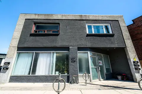
$7,900/mo
2 ba
427 Vaughan Road Main
Humewood-Cedarvale, Toronto
Store W Apt/Office · MLS® C13763502 · RE/MAX ULTIMATE REALTY INC.
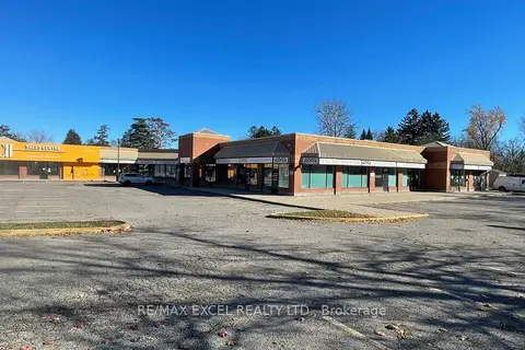
$7,900/mo
4679 Kingston Road 12
West Hill, Toronto
Commercial Retail · MLS® E13631940 · RE/MAX EXCEL REALTY LTD.
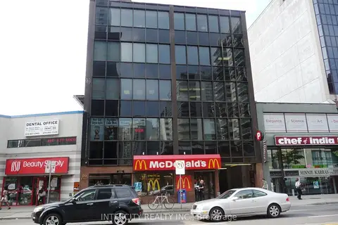
$7,950/mo
20 Eglinton Avenue E 500D
Mount Pleasant East, Toronto
Commercial Retail · MLS® C7406592 · INTERCITY REALTY INC.
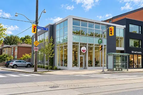
$7,950/mo
1269 Dundas Street W Rear Unit
Trinity-Bellwoods, Toronto
Commercial Retail · MLS® C13862668 · RE/MAX ULTIMATE REALTY INC.
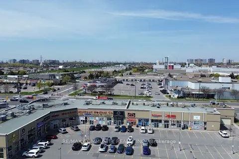
$7,825/mo
1 ba
3610 Mcnicoll Avenue 109
Malvern, Toronto
Commercial Retail · MLS® E13728732 · RE/MAX COMMUNITY REALTY INC.
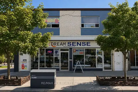
$7,999/mo
2893 Danforth Avenue E
East End-Danforth, Toronto
Commercial Retail · MLS® E13678510 · RE/MAX ACE REALTY INC.
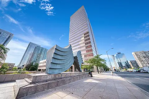
$8,000/mo
5700 Yonge Street Suite - A Road 200
Newtonbrook West, Toronto
Office · MLS® C9268388 · RE/MAX REAL ESTATE CENTRE INC.
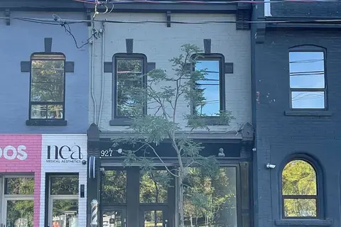 New
$8,000/mo
927 Queen Street W
Niagara, Toronto
Commercial Retail · MLS® C14094436 · INTERCITY REALTY INC.