359 Roncesvalles Avenue
Roncesvalles, Toronto, M6R 2M8
$1,699,000
Listed 35 days ago · MLS® W13785392
About this home
*ABSOLUTELY STUNNING!* FULLY GUTTED AND RENOVATED TWO STOREY BUILDING IN PRIME RONCESVALLES VILLAGE* GORGEOUS FLOOR TO CEILING GLASS STOREFRONT WITH DOORS OPENING TO RONCESVALLES* BEAUTIFUL EXPOSED BRICK WALLS ON TWO FLOORS WITH WOOD FLOORING THROUGHOUT* LARGE SECOND FLOOR TWO BEDROOM APT WITH JULIETTE BALCONY AT THE FRONT AND WALKOUT TO PRIVATE DECK AT THE REAR* AMAZING LONG TERM TENANTS* IDEAL USER/INVESTOR OPPORTUNITY. WITH GREAT UPSIDE POTENTIAL* TWO CAR PARKING AT REAR. CURRENT ANNUAL GROSS INCOME $100,800. APPROX 5% CAP RATE. *DON'T MISS OUT!
Details
- Type
- Store W Apt/Office
- Lot
- 15.91 × 125 ft
- Garage
- Lane
- Property tax
- $18,734 (2026)
- Neighbourhood
- Roncesvalles
- Municipality
- Toronto W01
Heating, cooling and services
- Heating
- Gas Forced Air Open
- Air conditioning
- Yes
- Utilities
- Yes
Building and exterior
- Building area
- 1,948 Square Feet
More
- Possession
- TBA
- Cross street
- RONCESVALLES AVE/HOWARD PARK AVE
Location
Location is approximate. See nearby homes on the map
Recent sales nearby
See what similar homes within 1 km sold for in the last year. Create a free account or sign in to see them.
The neighbourhood
Getting around Very walkable
- 🚇 Dundas West Subway13 min walk
- 🚇 Bloor UP Express14 min walk
- 🚆 Exhibition GO3.0 km
Within a 10-minute walk: 11 grocery stores, 74 cafés and restaurants, 11 parks, 6 pharmacies. Nearest grocery: Baraka Halal Food (450 m). Nearest park: Columbus Parkette (350 m).
Schools nearby
Elementary
- Howard Junior Public School
EQAO: Gr 6 reading 93%, math 87%3 min walk - St. Vincent de Paul Catholic School Catholic
EQAO: Gr 6 reading 89%, math 63%6 min walk - Fern Avenue Junior and Senior Public School
EQAO: Gr 6 reading 91%, math 62%9 min walk - Garden Avenue Junior Public School
EQAO: Gr 6 reading 100%, math 94%12 min walk
Secondary
- Bishop Marrocco/Thomas Merton Catholic Secondary School Catholic
EQAO: Gr 9 math 41%, literacy test 69%11 min walk - École secondaire catholique Saint-Frère-André Catholic · French11 min walk
- École secondaire Toronto Ouest French12 min walk
EQAO: share of students meeting the provincial standard (2024–25). Ontario average: Gr 6 reading 86%, math 51%; Gr 9 math 55%; literacy test 83%.
Closest schools, not school zones. Check which school serves this address with the school board before relying on it.
Who lives here postal area M6R
- Owners / renters
- 51% / 49%
- Median household income
- $104,000
- Average age
- 40
- Children under 15
- 15%
- Homes
- 16% detached, 11% high-rise
- Commute by transit
- 23%
- Population
- 19,349
Languages spoken most at home besides English: Polish 1.8%, Spanish 0.5%, Portuguese 0.5%, Ukrainian 0.4%.
Flood and conservation No mapped hazard
Not inside a mapped flood plain or regulated area.
Screening maps only. Ask the conservation authority for a property inquiry before relying on this.
Safety
Major crime per resident in Roncesvalles (2025): about the Toronto average, down 19% from the year before.
- Assault22% above average
- Break and enter33% above average
- Auto theft55% below average
- Robberyabout average
- Theft from vehicles29% below average
- Shootingsnone reported
Crime Severity Index for Toronto police: 60 vs 57 for Ontario (2025).
Police-reported figures for the whole neighbourhood, not this street. Rates use the area’s resident population.
Development nearby 1 active
-
6 HOWARD PARK AVE · 250 mPlan of Condominium · Under Review · applied 2021*** 128 dwelling units, 40 parking spacesApplication details
-
6 HOWARD PARK AVE · 250 mSite Plan · Refused · applied 2023Proposed 11-storey mixed-use building with an overall height of 36 metres, approximately 302 square metres of grade-related retail and approximately 130…Application details
Rezoning, site plan, subdivision and condominium applications filed with the city.
Distances are approximate. Places © OpenStreetMap contributors. Neighbourhood figures: Statistics Canada, 2021 Census. School results: EQAO via Ontario Data Catalogue (Open Government Licence – Ontario). Neighbourhood crime: Toronto Police Service Public Safety Data Portal (Open Government Licence – Toronto Police Service). Crime Severity Index: Statistics Canada. Planning applications: City of Toronto open data.
Living here
Commute
To Union Station (downtown Toronto): 6 km. Transit times · Driving times
Noise Nothing major nearby
No highway within 500 m, rail line within 300 m, or airport flight path nearby.
Distances from the map, not noise measurements. Visit at rush hour to judge for yourself.
What can be built CR
Commercial Residential (with a site-specific exception).
From Toronto’s Zoning By-law 569-2013 map. Lot size, setbacks and trees decide what actually fits; check with a planner before you buy.
Heritage Listed
This address is on Toronto’s Heritage Register: Listed. The City must get 60 days’ notice before demolition, and it can move to designate the property.
Building permits
No building permits at this address since 2014.
5 permits on this block of the street in the last 2 years, including 1 new home.
Permits filed with the City of Toronto. A permit doesn’t mean the work passed final inspection.
Trees
78 City street trees within 100 m. That’s more than the Toronto average of 42.
Trees on City boulevards only, not private yards or parks.
Internet High-speed
50/10 Mbps or faster available here by cable, fibre or DSL (the federal high-speed target).
From the federal broadband map. Check exact speeds and providers for the address.
Zoning, heritage, building permits and street trees: City of Toronto open data (Open Government Licence – Toronto). Roads, rail, airports and planned stations © OpenStreetMap contributors. Internet: Innovation, Science and Economic Development Canada, National Broadband Data.
Listed by REMAX YOUR COMMUNITY REALTY.
Listing information provided by PropTx Innovations Inc. and TRREB; deemed reliable but not guaranteed accurate by PropTx.
Similar homes nearby
See more in Toronto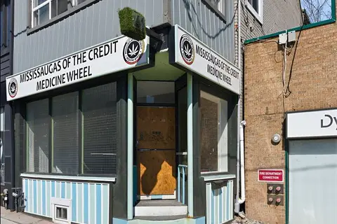
$1,499,000
41 Roncesvalles Avenue
Roncesvalles, Toronto
Store W Apt/Office · MLS® W13793796 · CHESTNUT PARK REAL ESTATE LIMITED
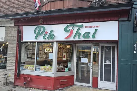
$1,899,888
Reduced $50,112
414 Roncesvalles Avenue
Roncesvalles, Toronto
Commercial Retail · MLS® W13690058 · MABANI REALTY INC.
$1,699,000
4750 yonge Street 101
Lansing-Westgate, Toronto
Store W Apt/Office · MLS® C12217851 · HOMELIFE LANDMARK REALTY INC.
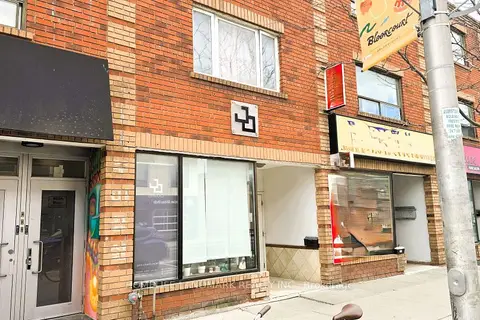
$1,699,000
Reduced $189,000
825 BLOOR Street W
Palmerston-Little Italy, Toronto
Store W Apt/Office · MLS® C13691786 · HOMELIFE LANDMARK REALTY INC.
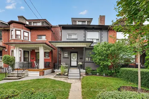
$1,699,000
3 ba
626 Manning Avenue
Palmerston-Little Italy, Toronto
Investment · MLS® C14029540 · ROYAL LEPAGE SUPREME REALTY
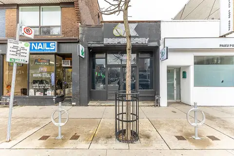
$1,699,900
863 Bloor Street W
Palmerston-Little Italy, Toronto
Commercial Retail · MLS® C13021362 · ROYAL LEPAGE REAL ESTATE ASSOCIATES
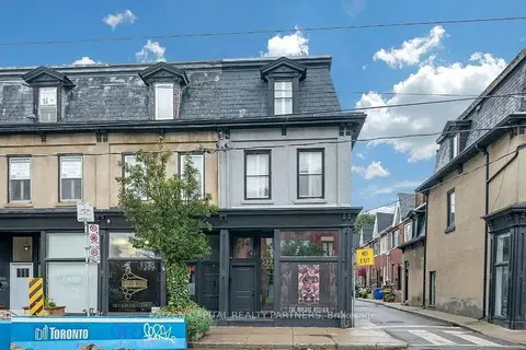
$1,699,999
398 King Street E
Moss Park, Toronto
Store W Apt/Office · MLS® C13696196 · KAIZEN CAPITAL REALTY PARTNERS
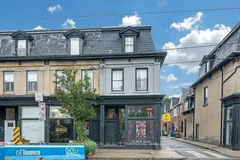
$1,699,999
398 King Street E
Moss Park, Toronto
Commercial Retail · MLS® C13696198 · KAIZEN CAPITAL REALTY PARTNERS