339 Rathburn Road W 1508
City Centre, Mississauga, L5B 0K6 · More in this building
$469,000
- 1+1 bedrooms
- 1 bathrooms
- 1 parking
- 600-699 sq ft
Listed 11 days ago · MLS® W13883006
About this home
Location , Location .. One Bedroom+ Den. Luxury Condo In Sought Square One Location. Close To Shopping , Sheridan College , Movie Theater , Schools , Transit ,Hwy's 403/401/410. One Underground Parking And One Locker. Building Has Great Amenities!!!
Details
- Type
- Condo Apartment
- Style
- Apartment
- Age
- 6-10 years
- Size
- 600-699 sq ft
- Basement
- None
- Garage
- Underground
- Kitchens
- 1
- Property tax
- $2,791 (2025)
- Maintenance fee
- $541/month
- Neighbourhood
- City Centre
- Municipality
- Mississauga
- Price per sq ft
- $722 (11% above condo apartments in City Centre, $652)
- Fee per sq ft
- $0.83/month (Mississauga median $0.87)
Interior
- Bedrooms
- 1 above ground + 1 below
- Bathrooms
- 1 × 4-piece (flat)
- Rooms
- 5 above ground
- Family room or den
- No
- Fireplace
- No
- Laundry
- In-Suite Laundry, Ensuite
Heating, cooling and services
- Heating
- Forced Air, Gas
- Air conditioning
- Central Air
Building and exterior
- Style
- Apartment
- Exterior
- Concrete
- Age
- 6-10 years
Parking
- Garage spaces
- 1
- Total parking
- 1
- Driveway and parking
- Underground
Condo
- Monthly fee
- $541
- Fee includes
- Heat Included, Common Elements Included, Building Insurance Included, Parking Included
- Locker
- Owned (level Level C)
- Balcony
- Open
- Exposure
- West
- Pets
- Yes-with Restrictions
- Property manager
- City Towers Property Management Inc.
More
- Possession
- TBA
- Cross street
- Rathburn & Confederation Pkwy
Rooms
| Room | Level | Size | Features |
|---|---|---|---|
| Living Room | Flat | 6.01 × 3.05 m (19'9" × 10') | Laminate, Combined w/Dining, W/O To Balcony |
| Dining Room | Flat | 6.01 × 3.05 m (19'9" × 10') | Laminate, Combined w/Living, Open Concept |
| Kitchen | Flat | 2.74 × 2.44 m (9' × 8') | Ceramic Floor, Stainless Steel Appl, Granite Counters |
| Primary Bedroom | Flat | 3.61 × 3.05 m (11'10" × 10') | Laminate, Closet |
| Den | Flat | 3.12 × 1.93 m (10'3" × 6'4") | Laminate |
| Foyer | Flat | 2.74 × 1.37 m (9' × 4'6") | Ceramic Floor |
History of this address
3 earlier listings at this address, with sold and leased prices. Create a free account or sign in to see them.
Location
Location is approximate. See nearby homes on the map
Recent sales nearby
See what similar homes within 1 km sold for in the last year. Create a free account or sign in to see them.
The neighbourhood
Getting around Very walkable
- 🚆 Cooksville GO2.4 km
Within a 10-minute walk: 3 grocery stores, 42 cafés and restaurants, 6 parks, 11 pharmacies. Nearest grocery: Food Basics (250 m). Nearest park: Community Common (400 m).
Schools nearby
Elementary
- Corpus Christi School Catholic
EQAO: Gr 6 reading 95%, math 63%7 min walk - Huntington Ridge Public School
EQAO: Gr 3 reading 83%, math 73%15 min walk - St. Matthew Separate School Catholic
EQAO: Gr 6 reading 100%, math 81%18 min walk - Fairview Public School
EQAO: Gr 3 reading 73%, math 73%1.2 km
Secondary
- Father Michael Goetz Secondary School Catholic
EQAO: Gr 9 math 44%, literacy test 80%1.6 km - Elm Drive Public School1.6 km
EQAO: share of students meeting the provincial standard (2024–25). Ontario average: Gr 6 reading 86%, math 51%; Gr 9 math 55%; literacy test 83%.
Closest schools, not school zones. Check which school serves this address with the school board before relying on it.
Who lives here postal area L5B
- Owners / renters
- 55% / 45%
- Median household income
- $79,000
- Average age
- 40
- Children under 15
- 15%
- Homes
- 14% detached, 71% high-rise
- Commute by transit
- 15%
- Population
- 67,131
Languages spoken most at home besides English: Arabic 5.2%, Mandarin 3.3%, Urdu 3%, Polish 2.2%.
Flood and conservation No mapped hazard
Not inside a mapped flood plain or regulated area.
Screening maps only. Ask the conservation authority for a property inquiry before relying on this.
Safety
Crime Severity Index for Peel Region (Mississauga/Brampton) police: 59 vs 57 for Ontario (2025).
Police-reported figures for the whole police service area, not this street. Rates use the area’s resident population.
Development nearby 1 active
-
4250 LIVING ARTS DRIVE AND 320 RATHBURN ROAD WEST (PREVIOUSLY 4220 LIVING ARTS DRIVE) · 250 mDevelopment application · In process · applied 2019Two residential / mixed use towers - 41 and 31 storeys w pops/mews (747 homes)
Rezoning, site plan, subdivision and condominium applications filed with the city.
Distances are approximate. Places © OpenStreetMap contributors. Neighbourhood figures: Statistics Canada, 2021 Census. School results: EQAO via Ontario Data Catalogue (Open Government Licence – Ontario). Crime Severity Index: Statistics Canada. Planning applications: City of Mississauga open data.
Living here
Commute
To Union Station (downtown Toronto): 23 km. Transit times · Driving times
Coming transit
- 🚧 Robert Speck Hazel McCallion LRT1.4 km · opening about 2029
- 🚧 Burnhamthorpe Hazel McCallion LRT1.4 km · opening about 2029
- 🚧 Fairview Hazel McCallion LRT1.8 km · opening about 2029
Stations under construction or approved. Opening dates are the latest public estimates and often move.
Noise 1 source nearby
- 🛣️ Highway 403300 m
Distances from the map, not noise measurements. Visit at rush hour to judge for yourself.
Internet High-speed
50/10 Mbps or faster available here by cable, fibre or DSL (the federal high-speed target).
From the federal broadband map. Check exact speeds and providers for the address.
Short-term rentals
Only in your principal residence, with a City licence: not allowed in investment properties. Up to 180 nights a year, no more than 30 in a row.
Roads, rail, airports and planned stations © OpenStreetMap contributors. Internet: Innovation, Science and Economic Development Canada, National Broadband Data.
Listed by iCloud Realty Ltd..
Listing information provided by PropTx Innovations Inc. and TRREB; deemed reliable but not guaranteed accurate by PropTx.
Similar homes nearby
See more in Mississauga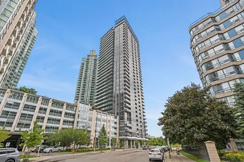
$469,000
1+1 bd1 ba1 pk600-699 ft²
223 Webb Drive 607
City Centre, Mississauga
Condo Apartment · MLS® W13685266 · HOMELIFE LANDMARK REALTY INC.
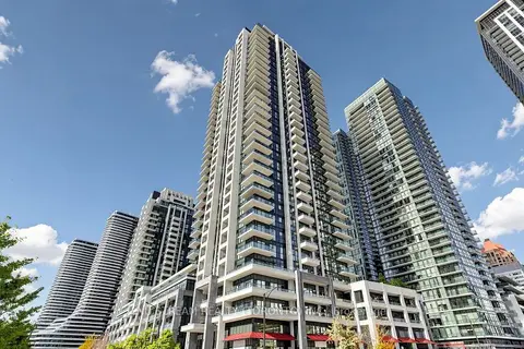 New
$469,900
1+1 bd1 ba1 pk600-699 ft²
4055 Parkside Village Drive 3017
City Centre, Mississauga
Condo Apartment · MLS® W14091746 · NU STREAM REALTY (TORONTO) INC.
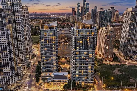
$469,990
1+1 bd1 ba1 pk600-699 ft²
33 Elm Drive W 611
City Centre, Mississauga
Condo Apartment · MLS® W13806132 · ROYAL LEPAGE PREMIUM ONE REALTY
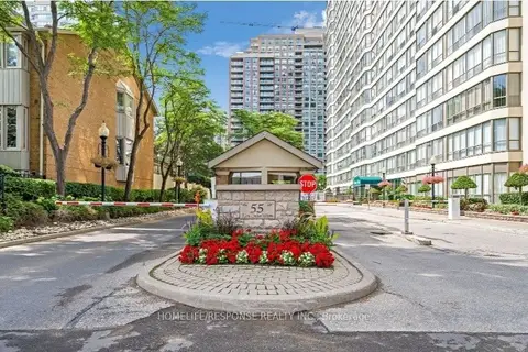
$470,000
Reduced $29,999
1+1 bd2 ba1 pk800-899 ft²
55 ELM Drive W 1601
City Centre, Mississauga
Condo Apartment · MLS® W13479652 · HOMELIFE/RESPONSE REALTY INC.
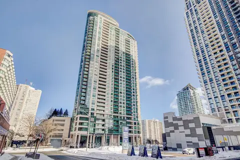
$465,000
1+1 bd1 ba1 pk600-699 ft²
208 Enfield Place 2205
City Centre, Mississauga
Condo Apartment · MLS® W13619078 · SAM MCDADI REAL ESTATE INC.
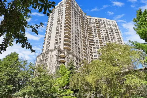
$464,900
1+1 bd1 ba1 pk600-699 ft²
3888 Duke Of York Boulevard 923
City Centre, Mississauga
Condo Apartment · MLS® W13861676 · NEW ERA REAL ESTATE
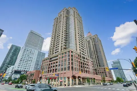
$464,900
1+1 bd1 ba1 pk600-699 ft²
4080 Living Arts Drive 2407
City Centre, Mississauga
Condo Apartment · MLS® W14032708 · ROYAL LEPAGE SIGNATURE REALTY
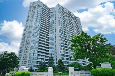
$474,000
Reduced $20,000
2+1 bd1 ba1 pk900-999 ft²
550 Webb Drive 1806
City Centre, Mississauga
Condo Apartment · MLS® W13780828 · ROYAL LEPAGE CERTIFIED REALTY