3176 Ridgeway Drive 60-62
Western Business Park, Mississauga, L5L 5S6
$1/mo
Listed 190 days ago · MLS® W12993142
Details
- Type
- Industrial
- Garage
- None
- Property tax
- $7 (2025)
- Neighbourhood
- Western Business Park
- Municipality
- Mississauga
Heating, cooling and services
- Heating
- Gas Forced Air Closed
- Air conditioning
- Partial
- Utilities
- Yes
Building and exterior
- Building area
- 5,942 Square Feet
Rental terms
- Minimum term
- 36 months
More
- Possession
- TBD
- Cross street
- Ridgeway Drive / Dundas Street W
Location
Location is approximate. See nearby homes on the map
The neighbourhood
Getting around Walkable
- 🚆 Clarkson GO4.9 km
Within a 10-minute walk: 2 grocery stores, 16 cafés and restaurants, 2 parks, 1 pharmacy. Nearest grocery: 大統華 T&T Supermarket (400 m). Nearest park: Garthwood Park (800 m).
Schools nearby
Elementary
- Garthwood Park Public School
EQAO: Gr 3 reading 49%, math 38%10 min walk - Christ The King Catholic School Catholic
EQAO: Gr 6 reading 73%, math 27%10 min walk - Thorn Lodge Public School
EQAO: Gr 3 reading 85%, math 81%1.8 km - Elm Drive Public School1.9 km
Secondary
- Loyola Catholic Secondary School Catholic
EQAO: Gr 9 math 58%, literacy test 92%1.7 km - Homelands Senior Public School2.4 km
EQAO: share of students meeting the provincial standard (2024–25). Ontario average: Gr 6 reading 86%, math 51%; Gr 9 math 55%; literacy test 83%.
Closest schools, not school zones. Check which school serves this address with the school board before relying on it.
Who lives here postal area L5L
- Owners / renters
- 79% / 21%
- Median household income
- $110,000
- Average age
- 43
- Children under 15
- 15%
- Homes
- 46% detached, 16% high-rise
- Commute by transit
- 9%
- Population
- 43,585
Languages spoken most at home besides English: Mandarin 2.8%, Polish 2.1%, Urdu 2.1%, Arabic 2%.
Flood and conservation No mapped hazard
Not inside a mapped flood plain or regulated area in Credit Valley Conservation’s mapping.
Screening maps only. Ask the conservation authority for a property inquiry before relying on this.
Safety
Crime Severity Index for Peel Region (Mississauga/Brampton) police: 59 vs 57 for Ontario (2025).
Police-reported figures for the whole police service area, not this street. Rates use the area’s resident population.
Development nearby
No planning applications within 500 m in the last five years.
Rezoning, site plan, subdivision and condominium applications filed with the city.
Distances are approximate. Places © OpenStreetMap contributors. Neighbourhood figures: Statistics Canada, 2021 Census. School results: EQAO via Ontario Data Catalogue (Open Government Licence – Ontario). Flood and regulation mapping: Credit Valley Conservation open data. Crime Severity Index: Statistics Canada.
Living here
Commute
To Union Station (downtown Toronto): 29 km. Transit times · Driving times
Noise 1 source nearby
- 🛣️ Highway 403450 m
Distances from the map, not noise measurements. Visit at rush hour to judge for yourself.
Internet High-speed
50/10 Mbps or faster available here by cable, fibre or DSL (the federal high-speed target).
From the federal broadband map. Check exact speeds and providers for the address.
Roads, rail, airports and planned stations © OpenStreetMap contributors. Internet: Innovation, Science and Economic Development Canada, National Broadband Data.
Listed by ROYAL LEPAGE REAL ESTATE SERVICES LTD..
Listing information provided by PropTx Innovations Inc. and TRREB; deemed reliable but not guaranteed accurate by PropTx.
Similar homes nearby
See more in Mississauga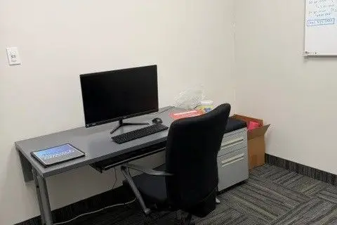
$1/mo
3995 Sladeview Crescent Unit 3
Western Business Park, Mississauga
Industrial · MLS® W13589240 · COLLIERS
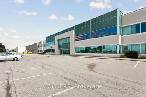
$1/mo
3500 Laird Road 1
Western Business Park, Mississauga
Industrial · MLS® W13731302 · COLLIERS
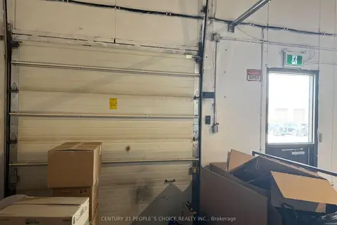
$1/mo
3375 Laird Road 4
Western Business Park, Mississauga
Industrial · MLS® W13731594 · CENTURY 21 PEOPLE`S CHOICE REALTY INC.
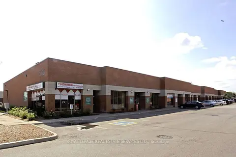
$1/mo
3176 Ridgeway Drive 53-54
Western Business Park, Mississauga
Industrial · MLS® W13882358 · ROYAL LEPAGE REAL ESTATE SERVICES LTD.
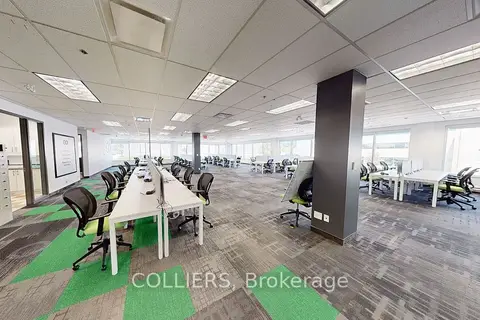
$1/mo
2355 Skymark Avenue 202
Airport Corporate, Mississauga
Office · MLS® W12170345 · COLLIERS
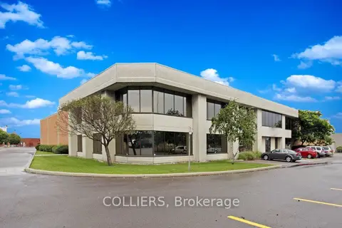
$1/mo
5610 Timberlea Boulevard
Northeast, Mississauga
Industrial · MLS® W12419250 · COLLIERS
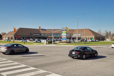
$1/mo
6750 Winston Churchill Boulevard 201B
Meadowvale, Mississauga
Office · MLS® W12580456 · INTERCITY REALTY INC.
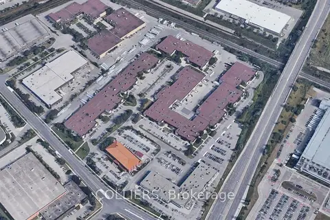
$1/mo
6535 Millcreek Drive 13-23
Meadowvale Business Park, Mississauga
Industrial · MLS® W12688300 · COLLIERS