28 Upper Duke Crescent
Unionville, Markham, L6G 0C3
$1,658,000
- 5+1 bedrooms
- 5 bathrooms
- 3 parking
- 2500-3000 sq ft
Listed 91 days ago · MLS® N13586376
About this home
Visit the REALTOR website for further information about this Listing. Rare Freehold End-Unit Townhome with No Maintenance Fees in the highly desirable Downtown Markham community! Approximately 3,500 sq. ft. of finished living space, this spacious 4-storey home features 5+1 bedrooms, 4.5 bathrooms, Large Roof Terraces, Finished basement with a separate walk-up entrance, and Direct access to a large Double-car Garage. The bright, well-designed layout is perfect for growing or multi-generational families, providing exceptional flexibility and ample living space. Ideally situated within walking distance to the Markham Pan Am Centre, Unionville GO Station, York University Markham Campus, restaurants, shopping, parks, public transit, and top-ranked schools, with convenient access to Highways 407 and 404.
Details
- Type
- Att/Row/Townhouse
- Style
- Other
- Age
- 16-30 years
- Size
- 2500-3000 sq ft
- Lot
- 29.58 × 65.68 ft
- Basement
- Finished, Separate Entrance
- Garage
- Attached
- Kitchens
- 1
- Property tax
- $7,971 (2026)
- Neighbourhood
- Unionville
- Municipality
- Markham
- Price per sq ft
- $603 (6% above freehold townhouses in Unionville, $571)
Interior
- Bedrooms
- 5 above ground + 1 below
- Bathrooms
- 1 × 2-piece (lower), 2 × 3-piece (second), 1 × 4-piece (third), 1 × 3-piece (basement)
- Rooms
- 9 above ground + 1 below
- Family room or den
- Yes
- Fireplace
- Yes
- Features
- Storage
Heating, cooling and services
- Heating
- Forced Air, Gas
- Air conditioning
- Central Air
- Water and sewer
- Sewer
Building and exterior
- Exterior
- Stone, Stucco (Plaster)
- Roof
- Flat
- Foundation
- Concrete
- Age
- 16-30 years
- Faces
- North
Parking
- Garage spaces
- 2
- Total parking
- 3
- Driveway and parking
- Available
Lot
- Size
- 29.58 × 65.68 ft
More
- Cross street
- Hwy 7 & Warden
History of this address
8 earlier listings at this address, with sold and leased prices. Create a free account or sign in to see them.
Location
Location is approximate. See nearby homes on the map
Recent sales nearby
See what similar homes within 1 km sold for in the last year. Create a free account or sign in to see them.
The neighbourhood
Getting around Walkable
- 🚆 Unionville GO17 min walk
Within a 10-minute walk: 1 grocery store, 24 cafés and restaurants, 2 parks, 3 pharmacies. Nearest grocery: Whole Foods Market (950 m). Nearest park: Roseberry Park (100 m).
Schools nearby
Elementary
- St. John XXIII Catholic Elementary School Catholic
EQAO: Gr 6 reading 81%, math 68%1.6 km - Kennedy Montessori School Private2.0 km
- Coledale Public School
EQAO: Gr 6 reading 96%, math 73%2.1 km - Parkview Public School
EQAO: Gr 6 reading 92%, math 85%2.2 km
Secondary
- Unionville High School
EQAO: Gr 9 math 88%, literacy test 90%19 min walk - Bill Crothers Secondary School
EQAO: Gr 9 math 79%, literacy test 98%1.5 km - Milliken Mills High School
EQAO: Gr 9 math 75%, literacy test 90%2.3 km
EQAO: share of students meeting the provincial standard (2024–25). Ontario average: Gr 6 reading 86%, math 51%; Gr 9 math 55%; literacy test 83%.
Closest schools, not school zones. Check which school serves this address with the school board before relying on it.
Who lives here postal area L6G
- Owners / renters
- 54% / 46%
- Median household income
- $61,200
- Average age
- 40
- Children under 15
- 11%
- Homes
- 2% detached, 93% high-rise
- Commute by transit
- 6%
- Population
- 8,364
Languages spoken most at home besides English: Yue (Cantonese) 22.3%, Mandarin 19.1%, Iranian Persian 1%, Korean 0.8%.
Flood and conservation No mapped hazard
Not inside a mapped flood plain or regulated area.
Screening maps only. Ask the conservation authority for a property inquiry before relying on this.
Safety
Crime Severity Index for York Region police: 50 vs 57 for Ontario (2025).
Police-reported figures for the whole police service area, not this street. Rates use the area’s resident population.
Distances are approximate. Places © OpenStreetMap contributors. Neighbourhood figures: Statistics Canada, 2021 Census. School results: EQAO via Ontario Data Catalogue (Open Government Licence – Ontario). Crime Severity Index: Statistics Canada.
Living here
Commute
To Union Station (downtown Toronto): 23 km. Transit times · Driving times
Noise 1 source nearby
- 🛣️ 407 ETR450 m
Distances from the map, not noise measurements. Visit at rush hour to judge for yourself.
Internet High-speed
50/10 Mbps or faster available here by cable, fibre or DSL (the federal high-speed target).
From the federal broadband map. Check exact speeds and providers for the address.
Roads, rail, airports and planned stations © OpenStreetMap contributors. Internet: Innovation, Science and Economic Development Canada, National Broadband Data.
Listed by EASY LIST REALTY LTD..
Listing information provided by PropTx Innovations Inc. and TRREB; deemed reliable but not guaranteed accurate by PropTx.
Similar homes nearby
See more in Markham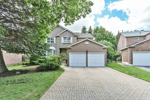
$1,658,000
4 bd4 ba6 pk2500-3000 ft²
14 Montrose Crescent
Unionville, Markham
Detached · MLS® N13847706 · CENTURY 21 LEADING EDGE REALTY INC.
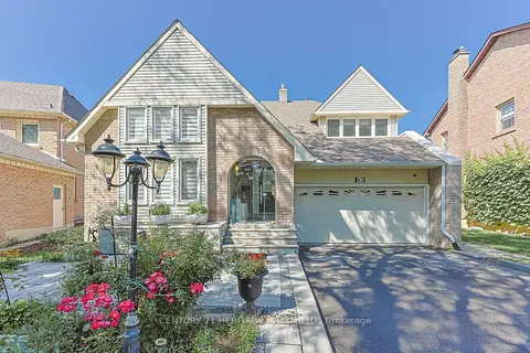
$1,649,000
4+1 bd3 ba6 pk2000-2500 ft²
62 Greencroft Crescent
Unionville, Markham
Detached · MLS® N13819046 · CENTURY 21 HERITAGE GROUP LTD.
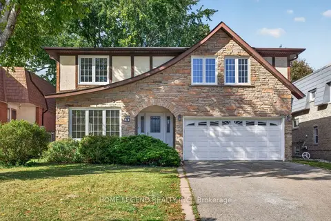
$1,685,000
4 bd3 ba6 pk2000-2500 ft²
52 Carlton Road
Unionville, Markham
Detached · MLS® N13881956 · HOME LEGEND REALTY INC.
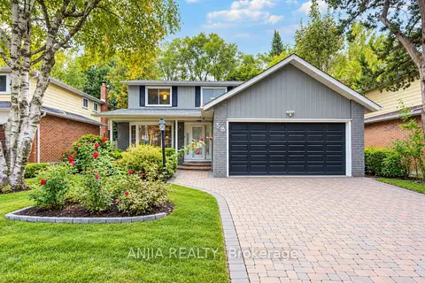
$1,688,000
4 bd4 ba6 pk2000-2500 ft²
58 Summerfeldt Crescent
Unionville, Markham
Detached · MLS® N13851560 · ANJIA REALTY
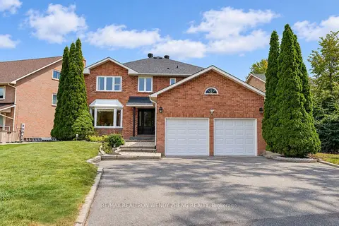
$1,699,000
5+4 bd7 ba8 pk3000-3500 ft²
22 West Side Drive
Unionville, Markham
Detached · MLS® N13848368 · RE/MAX REALTRON WENDY ZHENG REALTY
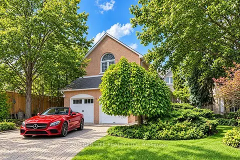 New
$1,599,988
4+1 bd5 ba4 pk3000-3500 ft²
62 Longwater Chase
Unionville, Markham
Detached · MLS® N14096368 · GOLDEN LIFE REALTY LTD.
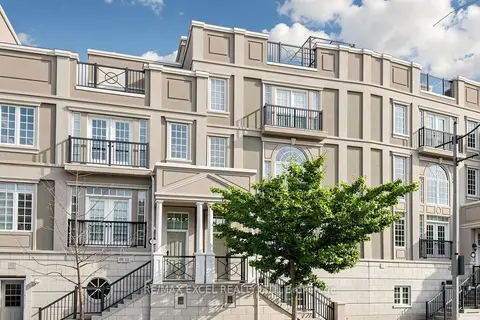
$1,599,000
4 bd5 ba3 pk2500-3000 ft²
25 Lord Durham Road
Unionville, Markham
Att/Row/Townhouse · MLS® N13763210 · RE/MAX EXCEL REALTY LTD.
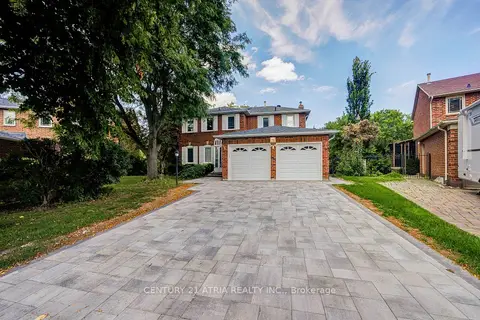
$1,598,800
4+1 bd4 ba6 pk2500-3000 ft²
35 Millstone Court
Unionville, Markham
Detached · MLS® N14090166 · CENTURY 21 ATRIA REALTY INC.