28 Thomas Avenue
Highland Creek, Toronto, M1C 1E5
$1,350,000
- 2 bedrooms
- 1 bathrooms
- 5 parking
- 700-1100 sq ft
Listed 34 days ago · MLS® E13791472
About this home
Nestled at the end of a quiet cul de sac of executive homes this unique irregular property widens to just under 120 ft at the garage. Visit and experience the "country in the city feel" of one of the nicest building lots left in the city. In summer enjoy the fruit from apple and pear trees, let the crickets sing you to sleep and the cardinals wake you up. In winter watch deer bounding across your lawn. The property is one street away from valley trails and close to sandy beaches that are never crowded. A five minute stroll will bring you to either to " the village" or UTSC campus. Nearby World class Pan Am centre has any type of activity you can imagine. Express buses to the subway and 2 GO stations are short drives away. Close enough to the 401 for easy access but far enough away to not hear the noise.Seller may consider vendor take-back (VTB) financing for qualified buyers
Details
- Type
- Detached
- Style
- Bungalow
- Size
- 700-1100 sq ft
- Lot
- 87.88 × 222.83 ft
- Basement
- None
- Garage
- Attached
- Kitchens
- 1
- Property tax
- $4,238 (2025)
- Neighbourhood
- Highland Creek
- Municipality
- Toronto E10
- Price per sq ft
- $1,500 (128% above detached houses in Highland Creek, $659)
Interior
- Bedrooms
- 2 above ground
- Bathrooms
- 1 × 3-piece (main)
- Rooms
- 5 above ground
- Family room or den
- No
- Fireplace
- No
Heating, cooling and services
- Water and sewer
- Sewer
Building and exterior
- Style
- Bungalow
- Exterior
- Aluminum Siding
- Roof
- Asphalt Shingle
- Foundation
- Block
- Faces
- North
- Outdoor
- Garden Shed
Parking
- Garage spaces
- 2
- Total parking
- 5
- Driveway and parking
- Private
Lot
- Size
- 87.88 × 222.83 ft
- Acreage
- < .50
More
- Possession
- Flexibleq
- Nearby
- Cul de Sac/Dead End, Fenced Yard
- Cross street
- Old Kingston and Military Trail
Rooms
| Room | Level | Size | Features |
|---|---|---|---|
| Office | Main | 3.28 × 2.14 m (10'9" × 7') | |
| Kitchen | Main | 3.17 × 2.99 m (10'5" × 9'10") | |
| Bedroom | Main | 3.81 × 2.66 m (12'6" × 8'9") | |
| Living Room | Main | 5.31 × 3.19 m (17'5" × 10'6") | |
| Primary Bedroom | Main | 3.82 × 2.69 m (12'6" × 8'10") |
History of this address
2 earlier listings at this address, with sold and leased prices. Create a free account or sign in to see them.
Location
Location is approximate. See nearby homes on the map
Recent sales nearby
See what similar homes within 1 km sold for in the last year. Create a free account or sign in to see them.
The neighbourhood
Getting around Walkable
- 🚆 Rouge Hill GO3.7 km
Within a 10-minute walk: 1 grocery store, 8 cafés and restaurants, 6 parks, 2 pharmacies. Nearest grocery: Kingston Grocery (350 m). Nearest park: Colonel Danforth Park (450 m).
Schools nearby
Elementary
- Highland Creek Public School
EQAO: Gr 6 reading 60%, math 24%3 min walk - Cardinal Leger Catholic School Catholic
EQAO: Gr 6 reading 94%, math 67%17 min walk - Morrish Public School
EQAO: Gr 6 reading 93%, math 59%17 min walk - West Hill Public School
EQAO: Gr 6 reading 88%, math 56%1.4 km
Secondary
- West Hill Collegiate Institute1.5 km
EQAO: share of students meeting the provincial standard (2024–25). Ontario average: Gr 6 reading 86%, math 51%; Gr 9 math 55%; literacy test 83%.
Closest schools, not school zones. Check which school serves this address with the school board before relying on it.
Who lives here postal area M1C
- Owners / renters
- 89% / 11%
- Median household income
- $130,000
- Average age
- 43
- Children under 15
- 14%
- Homes
- 79% detached, 1% high-rise
- Commute by transit
- 16%
- Population
- 35,642
Languages spoken most at home besides English: Tamil 4.5%, Mandarin 1.5%, Tagalog (Pilipino, Filipino) 1.3%, Bengali 1.3%.
Flood and conservation No mapped hazard
Not inside a mapped flood plain or regulated area.
Screening maps only. Ask the conservation authority for a property inquiry before relying on this.
Safety
Major crime per resident in Highland Creek (2025): about the Toronto average, down 9% from the year before.
- Assault25% below average
- Break and enter38% below average
- Auto theftabout average
- Robbery44% below average
- Theft from vehiclesabout average
- Shootingsabout average
Crime Severity Index for Toronto police: 60 vs 57 for Ontario (2025).
Police-reported figures for the whole neighbourhood, not this street. Rates use the area’s resident population.
Development nearby 4 active
-
363 OLD KINGSTON RD · 450 mOfficial Plan / Zoning By-law Amendment · OMB Appeal · applied 2026A proposal to construct an 8-storey mixed use building with 129 residential units and commercial uses at grade.Application details
-
1650 MILITARY TRL · 500 mSite Plan · NOAC Issued · applied 2024To construct an eight-storey residential building containing 101 units (10,469 square metre of GFA), 18 parking spaces (9 resident spaces, 6 visitor and 3…Application details
-
1625 MILITARY TRL · 450 mPlan of Condominium · Draft Plan Approved · applied 2024Phased Draft Plan of Condominimum for one eight-storey residential building (Building A) containing 263 residential units.Application details
-
280 OLD KINGSTON RD · 350 mSite Plan · NOAC Issued · applied 2010Expansion of existing parking lot into the adjacent property.
-
1650 MILITARY TRL · 500 mOfficial Plan / Zoning By-law Amendment · Closed · applied 2023Official Plan and Zoning By-law Amendment application for an eight-storey residential building with a total of 175 residential units, 74 parking spaces and 120…Application details
Rezoning, site plan, subdivision and condominium applications filed with the city.
Distances are approximate. Places © OpenStreetMap contributors. Neighbourhood figures: Statistics Canada, 2021 Census. School results: EQAO via Ontario Data Catalogue (Open Government Licence – Ontario). Neighbourhood crime: Toronto Police Service Public Safety Data Portal (Open Government Licence – Toronto Police Service). Crime Severity Index: Statistics Canada. Planning applications: City of Toronto open data.
Living here
Commute
To Union Station (downtown Toronto): 22 km. Transit times · Driving times
Noise Nothing major nearby
No highway within 500 m, rail line within 300 m, or airport flight path nearby.
Distances from the map, not noise measurements. Visit at rush hour to judge for yourself.
What can be built RD
Residential Detached (with a site-specific exception).
- ✅ Up to 4 homes on the lot (multiplex)
- ✅ Garden suite in the backyard
- ✅ Laneway suite, if the lot backs onto a lane
From Toronto’s Zoning By-law 569-2013 map. Lot size, setbacks and trees decide what actually fits; check with a planner before you buy.
Trees
28 City street trees within 100 m, mostly maples. That’s fewer than the Toronto average of 42.
Trees on City boulevards only, not private yards or parks.
Internet High-speed
50/10 Mbps or faster available here by cable, fibre or DSL (the federal high-speed target).
From the federal broadband map. Check exact speeds and providers for the address.
Short-term rentals
Only in your principal residence (where you live). The entire home can be rented up to 180 nights a year; renting up to 3 bedrooms while you live there has no limit. Hosts register with the City and collect the 6% accommodation tax.
Zoning, heritage, building permits and street trees: City of Toronto open data (Open Government Licence – Toronto). Roads, rail, airports and planned stations © OpenStreetMap contributors. Internet: Innovation, Science and Economic Development Canada, National Broadband Data.
Listed by NEW ERA REAL ESTATE.
Listing information provided by PropTx Innovations Inc. and TRREB; deemed reliable but not guaranteed accurate by PropTx.
Similar homes nearby
See more in Toronto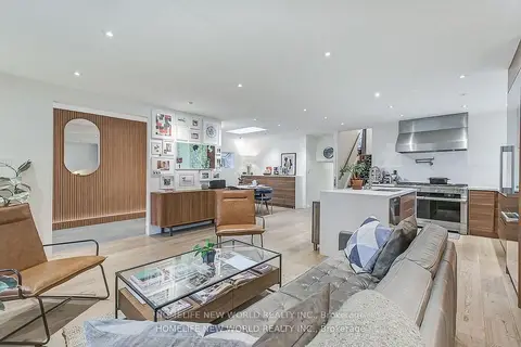
$1,350,000
4+1 bd3 ba6 pk1500-2000 ft²
59 Bobmar Road
Highland Creek, Toronto
Detached · MLS® E13685690 · HOMELIFE NEW WORLD REALTY INC.
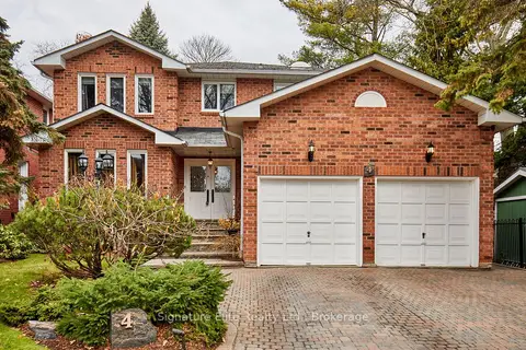
$1,399,900
4+1 bd4 ba6 pk2500-3000 ft²
4 Camor Court
Highland Creek, Toronto
Detached · MLS® E13746476 · Signature Elite Realty Ltd.
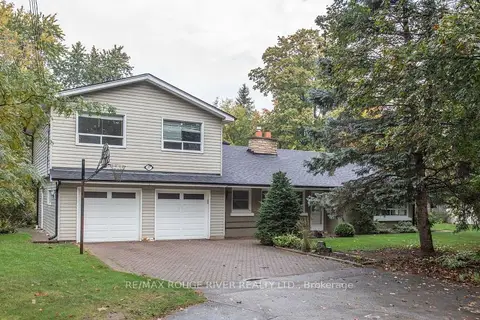
$1,299,800
5 bd2 ba4 pk2500-3000 ft²
37 Acland Crescent
Highland Creek, Toronto
Detached · MLS® E14030608 · RE/MAX ROUGE RIVER REALTY LTD.
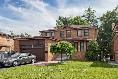
$1,450,000
4+4 bd5 ba6 pk2500-3000 ft²
3435 Ellesmere Road
Highland Creek, Toronto
Detached · MLS® E13813802 · LOYALTY REAL ESTATE
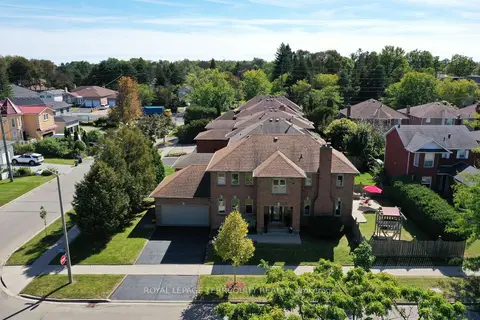
$1,249,900
4 bd3 ba4 pk2000-2500 ft²
10 Scarboro Avenue
Highland Creek, Toronto
Detached · MLS® E13839222 · ROYAL LEPAGE TERREQUITY REALTY
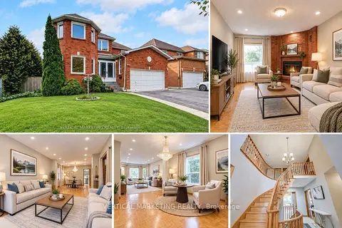
$1,199,000
4+3 bd5 ba6 pk2500-3000 ft²
3807 Ellesmere Road
Highland Creek, Toronto
Detached · MLS® E13815806 · VERTICAL MARKETING REALTY
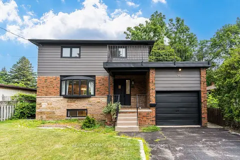
$1,185,000
3+2 bd3 ba7 pk1500-2000 ft²
90 Euclid Avenue
Highland Creek, Toronto
Detached · MLS® E13820450 · RE/MAX COMMUNITY REALTY INC.
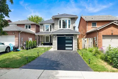
$1,175,000
4+2 bd4 ba3 pk1500-2000 ft²
41 Graybark Crescent
Highland Creek, Toronto
Detached · MLS® E13637166 · CENTURY 21 LEADING EDGE REALTY INC.