26 Pearson Avenue
Roncesvalles, Toronto, M6R 1G1
$1,195,000
- 4+1 bedrooms
- 2 bathrooms
- 2 parking
- 1500-2000 sq ft
Listed 7 days ago · MLS® W14013500
About this home
Unlock a rare blend of character & adaptability in the heart of Roncesvalles! This brick, 2 1/2 storey home offers an incredible footprint (2484 square feet of total living space) on a highly desirable, tree-lined street. Currently two distinct self-contained suites, the floorplan adapts effortlessly to your goals: generate rental income while living on-site, share a co-ownership venture, grow your investment portfolio, or easily transform the entire structure into a grand, 4+ bedroom single-family masterpiece. The main+lower suite centers around a spacious open-concept living room, eat-in kitchen with new appliances, and a bedroom with brick fireplace. Look through a striking wall of glass to your outdoor private garden that leads to coveted 2-car laneway parking. The finished lower level adds a bedroom, bathroom, recreation space, laundry room, utility room & generous storage. Branching off the front entryway, the upper level 3-bedroom suite spans across the 2nd & 3rd storeys & features a bright front bedroom with an elegant bay window & brick fireplace, an updated full bathroom, a generous living area and a bright galley kitchen with a stacked washer and dryer that walks out to a balcony overlooking the lush, treed garden below. The 3rd storey elevates the home's capacity with two additional bedrooms with closets & wide plank flooring. Essential updates include a new high-efficiency gas furnace (2025), a heavy-duty 200-amp electrical panel & newly-refinished hardwood floors. Bring your design ideas to customize the finishes and maximize the value of this solid brick canvas. Positioned in a premier pocket where the village vibe of Roncesvalles meets the creative energy of Queen West, this tree-lined street is just steps away from restaurants, cafes, boutique shopping, great neighborhood schools, and open green spaces like Sorauren Park & High Park. Commuting is effortless with rapid TTC transit routes & quick highway access closeby.
Details
- Type
- Duplex
- Style
- 2 1/2 Storey
- Size
- 1500-2000 sq ft
- Lot
- 16.75 × 125.25 ft
- Basement
- Finished
- Garage
- None
- Kitchens
- 2
- Property tax
- $7,750 (2026)
- Neighbourhood
- Roncesvalles
- Municipality
- Toronto W01
Interior
- Bedrooms
- 4 above ground + 1 below
- Bathrooms
- 1 × 4-piece (second), 1 × 4-piece (basement)
- Rooms
- 13 above ground
- Family room or den
- No
- Fireplace
- Yes
Heating, cooling and services
- Heating
- Forced Air, Gas
- Water and sewer
- Sewer
Building and exterior
- Style
- 2 1/2 Storey
- Exterior
- Brick
- Roof
- Asphalt Shingle
- Foundation
- Brick
- Faces
- North
Parking
- Total parking
- 2
Lot
- Size
- 16.75 × 125.25 ft
More
- Possession
- 30-60 Days TBA
- Cross street
- Queen & Sorauren
Rooms
| Room | Level | Size | Features |
|---|---|---|---|
| Living Room | Main | 4.22 × 4.17 m (13'10" × 13'8") | Hardwood Floor |
| Kitchen | Main | 4.17 × 3.25 m (13'8" × 10'8") | Hardwood Floor, Eat-in Kitchen, W/O To Yard |
| Bedroom | Main | 2.92 × 2.69 m (9'7" × 8'10") | Hardwood Floor |
| Foyer | Main | 2.46 × 1.12 m (8'1" × 3'8") | |
| Bedroom 2 | Second | 4.17 × 3.38 m (13'8" × 11'1") | Hardwood Floor, Bay Window, Closet |
| Living Room | Second | 4.17 × 3.96 m (13'8" × 13') | Hardwood Floor, Crown Moulding |
| Kitchen | Second | 3.61 × 2.41 m (11'10" × 7'11") | Eat-in Kitchen, W/O To Sundeck |
| Bedroom 3 | Third | 4.17 × 3.2 m (13'8" × 10'6") | Double Closet |
| Bedroom 4 | Third | 4.17 × 3.05 m (13'8" × 10') | Closet |
| Recreation | Lower | 3.89 × 2.82 m (12'9" × 9'3") | Laminate, W/O To Yard, Pot Lights |
| Bedroom 5 | Lower | 3.84 × 2.82 m (12'7" × 9'3") | Window |
| Laundry | Lower | 3.28 × 1.65 m (10'9" × 5'5") | |
| Utility Room | Lower | 5.79 × 1.35 m (19' × 4'5") |
Location
Location is approximate. See nearby homes on the map
Recent sales nearby
See what similar homes within 1 km sold for in the last year. Create a free account or sign in to see them.
The neighbourhood
Getting around Very walkable
- 🚇 Lansdowne Subway1.7 km
- 🚇 Bloor UP Express1.8 km
- 🚆 Exhibition GO1.9 km
Within a 10-minute walk: 17 grocery stores, 112 cafés and restaurants, 18 parks, 8 pharmacies. Nearest grocery: Queen Supermarket Convenience (450 m). Nearest park: Albert Crosland Park (300 m).
Schools nearby
Elementary
- Parkdale Junior and Senior Public School4 min walk
- Fern Avenue Junior and Senior Public School
EQAO: Gr 6 reading 91%, math 62%8 min walk - Shirley Street Junior Public School
EQAO: Gr 6 reading 94%, math 61%10 min walk - Holy Family Catholic School Catholic
EQAO: Gr 6 reading 83%, math 42%11 min walk
Secondary
- Parkdale Collegiate Institute
EQAO: Gr 9 math 61%, literacy test 86%9 min walk - City View Alternative Senior School10 min walk
- École secondaire catholique Saint-Frère-André Catholic · French14 min walk
EQAO: share of students meeting the provincial standard (2024–25). Ontario average: Gr 6 reading 86%, math 51%; Gr 9 math 55%; literacy test 83%.
Closest schools, not school zones. Check which school serves this address with the school board before relying on it.
Who lives here postal area M6R
- Owners / renters
- 51% / 49%
- Median household income
- $104,000
- Average age
- 40
- Children under 15
- 15%
- Homes
- 16% detached, 11% high-rise
- Commute by transit
- 23%
- Population
- 19,349
Languages spoken most at home besides English: Polish 1.8%, Spanish 0.5%, Portuguese 0.5%, Ukrainian 0.4%.
Flood and conservation No mapped hazard
Not inside a mapped flood plain or regulated area.
Screening maps only. Ask the conservation authority for a property inquiry before relying on this.
Safety
Major crime per resident in Roncesvalles (2025): about the Toronto average, down 19% from the year before.
- Assault22% above average
- Break and enter33% above average
- Auto theft55% below average
- Robberyabout average
- Theft from vehicles29% below average
- Shootingsnone reported
Crime Severity Index for Toronto police: 60 vs 57 for Ontario (2025).
Police-reported figures for the whole neighbourhood, not this street. Rates use the area’s resident population.
Development nearby 4 active
-
1437 QUEEN ST W · 400 mOfficial Plan / Zoning By-law Amendment · Appeal Received · applied 2023The application proposes to demolish the existing buildings and construct a new 12-storey mixed use building containing 249 dwelling units. The proposed…Application details
-
1437 QUEEN ST W · 400 mSite Plan · Under Review · applied 2023The application proposes to demolish the existing buildings and construct a new 12-storey mixed use building containing 249 dwelling units. The proposed…Application details
-
1375 QUEEN ST W · 500 mSite Plan · NOAC Issued · applied 2021Site Plan Approval for a 7-storey mixed-use building having a residential gross floor area of 3312 square metres, and a non-residential gross floor area of 268…Application details
-
1488 QUEEN ST W · 350 mSite Plan · NOAC Issued · applied 2021Proposal for a 6-storey mixed-use building having a non-residential gross floor area of 190 square metres, and a residnetial gross floor area of 2550.0 square…Application details
-
1497 QUEEN ST W · 450 mOfficial Plan / Zoning By-law Amendment · Closed · applied 2026Official Plan and Zoning By-law Amendment to develop a 10 and 7 storey mixed use building with 141 affordable rental units, including 54 rental replacement…Application details
-
1521 QUEEN ST W · 500 mSite Plan · Closed · applied 2022Site Plan Approval application for an 8 storey mixed use building with a residential gross floor area of 6228 SM and a non residential gross floor area of 279…Application details
Rezoning, site plan, subdivision and condominium applications filed with the city.
Distances are approximate. Places © OpenStreetMap contributors. Neighbourhood figures: Statistics Canada, 2021 Census. School results: EQAO via Ontario Data Catalogue (Open Government Licence – Ontario). Neighbourhood crime: Toronto Police Service Public Safety Data Portal (Open Government Licence – Toronto Police Service). Crime Severity Index: Statistics Canada. Planning applications: City of Toronto open data.
Living here
Commute
To Union Station (downtown Toronto): 5 km. Transit times · Driving times
Coming transit
- 🚧 Exhibition 1.9 km · opening 2031
Stations under construction or approved. Opening dates are the latest public estimates and often move.
Noise Nothing major nearby
No highway within 500 m, rail line within 300 m, or airport flight path nearby.
Distances from the map, not noise measurements. Visit at rush hour to judge for yourself.
What can be built R
Residential (with a site-specific exception).
- ✅ Up to 6 homes on the lot (multiplex): a sixplex ward
- ✅ Garden suite in the backyard
- ✅ Laneway suite, if the lot backs onto a lane
From Toronto’s Zoning By-law 569-2013 map. Lot size, setbacks and trees decide what actually fits; check with a planner before you buy.
Building permits
No building permits at this address since 2014.
1 permit on this block of the street in the last 2 years.
Permits filed with the City of Toronto. A permit doesn’t mean the work passed final inspection.
Trees
85 City street trees within 100 m. That’s more than the Toronto average of 42.
Trees on City boulevards only, not private yards or parks.
Internet High-speed
50/10 Mbps or faster available here by cable, fibre or DSL (the federal high-speed target).
From the federal broadband map. Check exact speeds and providers for the address.
Short-term rentals
Only in your principal residence (where you live). The entire home can be rented up to 180 nights a year; renting up to 3 bedrooms while you live there has no limit. Hosts register with the City and collect the 6% accommodation tax.
Zoning, heritage, building permits and street trees: City of Toronto open data (Open Government Licence – Toronto). Roads, rail, airports and planned stations © OpenStreetMap contributors. Internet: Innovation, Science and Economic Development Canada, National Broadband Data.
Listed by RE/MAX HALLMARK REALTY LTD..
Listing information provided by PropTx Innovations Inc. and TRREB; deemed reliable but not guaranteed accurate by PropTx.
Similar homes nearby
See more in Toronto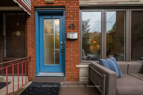 New
$1,199,000
3+1 bd4 ba1 pk1100-1500 ft²
45 Sorauren Avenue
Roncesvalles, Toronto
Semi-Detached · MLS® W14096504 · RE/MAX HALLMARK REALTY LTD.
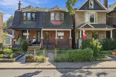
$1,099,900
3 bd2 ba1 pk1100-1500 ft²
7 Geoffrey Street
Roncesvalles, Toronto
Semi-Detached · MLS® W14010606 · ROYAL LEPAGE SIGNATURE REALTY
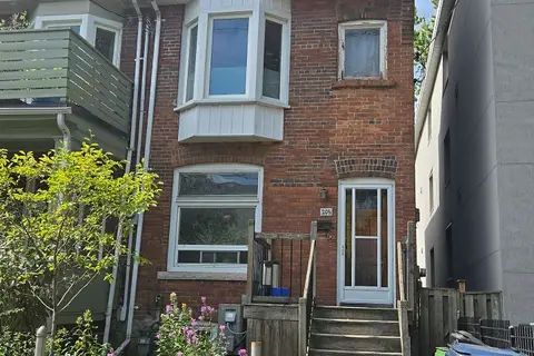
$1,299,000
5+1 bd3 ba2 pk1500-2000 ft²
201/2 O'hara Avenue NE
Roncesvalles, Toronto
Att/Row/Townhouse · MLS® W13807318 · CENTURY 21 REGAL REALTY INC.
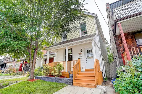
$1,299,000
3+1 bd4 ba1100-1500 ft²
2179 Dundas Street W
Roncesvalles, Toronto
Detached · MLS® W13878516 · RE/MAX REALTRON WENDY ZHENG REALTY
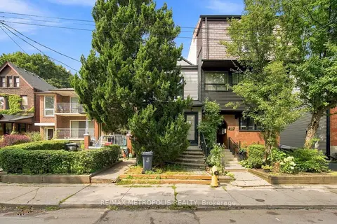
$1,075,000
2+1 bd2 ba1100-1500 ft²
24 Marion Street
Roncesvalles, Toronto
Detached · MLS® W13747022 · RE/MAX METROPOLIS REALTY
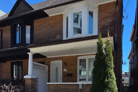
$1,388,000
Reduced $111,998
3+1 bd4 ba2 pk1100-1500 ft²
17 Howard Park Avenue
Roncesvalles, Toronto
Semi-Detached · MLS® W13135516 · REAL BROKER ONTARIO LTD.
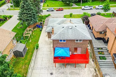
$1,195,000
5+2 bd4 ba8 pk1500-2000 ft²
56 Gatesview Avenue
Scarborough Village, Toronto
Detached · MLS® E13764188 · SMART SOLD REALTY
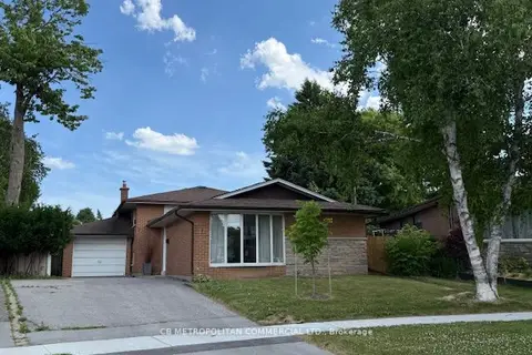 New
$1,195,000
3 bd1 ba5 pk1100-1500 ft²
7 Amarillo Drive
Eglinton East, Toronto
Detached · MLS® E14092216 · CB METROPOLITAN COMMERCIAL LTD.