25 Beechwood Avenue Lower
Rockcliffe-Smythe, Toronto, M6N 4S9
$1,500/mo
- 2 bedrooms
- 1 bathrooms
- 0 parking
- < 700 sq ft
Listed 61 days ago · MLS® W13694184
About this home
2 Bed & 1 Bath Basement Apartment. Enjoy being walking distance from shops and restaurants on St Clair Avenue West, TTC, Parks and Much More!
Details
- Type
- Detached
- Style
- 1 1/2 Storey
- Size
- < 700 sq ft
- Basement
- Finished
- Garage
- None
- Kitchens
- 1
- Neighbourhood
- Rockcliffe-Smythe
- Municipality
- Toronto W03
- Rent increase limit
- Depends on when the unit was first lived in: before Nov. 15, 2018 it’s covered by Ontario’s yearly limit (2.1% in 2026); after, there’s no cap.
Interior
- Bedrooms
- 2 above ground
- Bathrooms
- 1 × 3-piece
- Rooms
- 5 above ground
- Family room or den
- No
- Fireplace
- No
- Laundry
- In-Suite Laundry
- Furnished
- Unfurnished
Heating, cooling and services
- Heating
- Forced Air, Gas
- Air conditioning
- Central Air
- Water and sewer
- Sewer
Building and exterior
- Style
- 1 1/2 Storey
- Exterior
- Brick
- Roof
- Asphalt Shingle
- Foundation
- Concrete, Brick
- Faces
- East
More
- Possession
- Immediate
- Cross street
- Jane St & Eglinton Ave W
Rooms
| Room | Level | Size | Features |
|---|---|---|---|
| Living Room | Lower | 4.5 × 4 m (14'9" × 13'1") | Pot Lights, Laminate, Combined w/Dining |
| Dining Room | Lower | 4.5 × 4 m (14'9" × 13'1") | Pot Lights, Laminate, Combined w/Living |
| Kitchen | Lower | 4.5 × 3 m (14'9" × 9'10") | Pot Lights, Stainless Steel Appl |
| Bedroom | Lower | 4.6 × 4 m (15'1" × 13'1") | Walk-In Closet(s), Laminate, Window |
| Bedroom 2 | Lower | 3.8 × 3.4 m (12'6" × 11'2") | Pot Lights, Window |
History of this address
1 earlier listing at this address, with sold and leased prices. Create a free account or sign in to see them.
Location
Location is approximate. See nearby homes on the map
The neighbourhood
Getting around Very walkable
- 🚇 Mount Dennis LRT16 min walk
- 🚇 Keelesdale LRT1.9 km
- 🚆 Mount Dennis GO15 min walk
Within a 10-minute walk: 3 grocery stores, 19 cafés and restaurants, 11 parks, 6 pharmacies. Nearest grocery: Food Basics (400 m). Nearest park: Dalrymple Park (250 m).
Schools nearby
Elementary
- Roselands Junior Public School
EQAO: Gr 6 reading 65%, math 17%7 min walk - Our Lady of Victory Catholic School Catholic
EQAO: Gr 6 reading 75%, math 37%7 min walk - Cordella Junior Public School9 min walk
- Dennis Avenue Community School
EQAO: Gr 6 reading 88%, math 24%11 min walk
Secondary
- Frank Oke Secondary School9 min walk
- Rockcliffe Middle School13 min walk
- St. Oscar Romero Catholic Secondary School Catholic
EQAO: Gr 9 math 44%, literacy test 78%18 min walk
EQAO: share of students meeting the provincial standard (2024–25). Ontario average: Gr 6 reading 86%, math 51%; Gr 9 math 55%; literacy test 83%.
Closest schools, not school zones. Check which school serves this address with the school board before relying on it.
Who lives here postal area M6N
- Owners / renters
- 58% / 42%
- Median household income
- $75,500
- Average age
- 41
- Children under 15
- 15%
- Homes
- 24% detached, 26% high-rise
- Commute by transit
- 28%
- Population
- 40,252
Languages spoken most at home besides English: Portuguese 9.6%, Spanish 5%, Vietnamese 3%, Italian 1.2%.
Flood and conservation No mapped hazard
Not inside a mapped flood plain or regulated area.
Screening maps only. Ask the conservation authority for a property inquiry before relying on this.
Safety
Major crime per resident in Rockcliffe-Smythe (2025): about the Toronto average, down 10% from the year before.
- Assaultabout average
- Break and enter30% below average
- Auto theft30% below average
- Robberyabout average
- Theft from vehiclesabout average
- Shootings104% above average
Crime Severity Index for Toronto police: 60 vs 57 for Ontario (2025).
Police-reported figures for the whole neighbourhood, not this street. Rates use the area’s resident population.
Development nearby
No planning applications within 500 m in the last five years.
Rezoning, site plan, subdivision and condominium applications filed with the city.
Distances are approximate. Places © OpenStreetMap contributors. Neighbourhood figures: Statistics Canada, 2021 Census. School results: EQAO via Ontario Data Catalogue (Open Government Licence – Ontario). Neighbourhood crime: Toronto Police Service Public Safety Data Portal (Open Government Licence – Toronto Police Service). Crime Severity Index: Statistics Canada.
Living here
Commute
To Union Station (downtown Toronto): 10 km. Transit times · Driving times
Noise Nothing major nearby
No highway within 500 m, rail line within 300 m, or airport flight path nearby.
Distances from the map, not noise measurements. Visit at rush hour to judge for yourself.
What can be built RM
Residential Multiple Dwelling (with a site-specific exception).
- ✅ Up to 4 homes on the lot (multiplex)
- ✅ Garden suite in the backyard
- ✅ Laneway suite, if the lot backs onto a lane
From Toronto’s Zoning By-law 569-2013 map. Lot size, setbacks and trees decide what actually fits; check with a planner before you buy.
Building permits
- New Building · 2025 · Examiner's Notice SentProposal for a new Fourplex - Detached.
- Demolition · 2025 · Examiner's Notice SentProposal for a new fourplex-Detached.
17 permits on this block of the street in the last 2 years, including 4 new homes.
Permits filed with the City of Toronto. A permit doesn’t mean the work passed final inspection.
Trees
42 City street trees within 100 m. That’s about the Toronto average of 42.
Trees on City boulevards only, not private yards or parks.
Internet High-speed
50/10 Mbps or faster available here by cable, fibre or DSL (the federal high-speed target).
From the federal broadband map. Check exact speeds and providers for the address.
Short-term rentals
Only in your principal residence (where you live). The entire home can be rented up to 180 nights a year; renting up to 3 bedrooms while you live there has no limit. Hosts register with the City and collect the 6% accommodation tax.
Zoning, heritage, building permits and street trees: City of Toronto open data (Open Government Licence – Toronto). Roads, rail, airports and planned stations © OpenStreetMap contributors. Internet: Innovation, Science and Economic Development Canada, National Broadband Data.
Listed by HC REALTY GROUP INC..
Listing information provided by PropTx Innovations Inc. and TRREB; deemed reliable but not guaranteed accurate by PropTx.
Similar homes nearby
See more in Toronto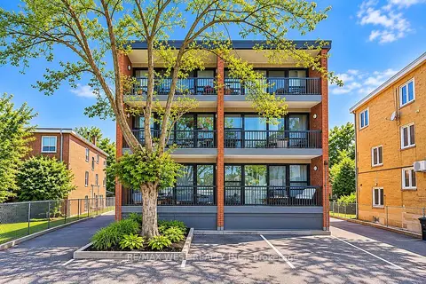 New
$1,495/mo
1 bd1 ba< 700 ft²
291 Scarlett Road 101
Rockcliffe-Smythe, Toronto
Multiplex · MLS® W14096028 · RE/MAX WEST REALTY INC.
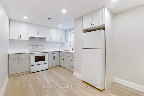
$1,550/mo
1 bd1 ba1100-1500 ft²
87 Cordella Avenue Basement
Rockcliffe-Smythe, Toronto
Detached · MLS® W13726578 · RIGHT AT HOME REALTY
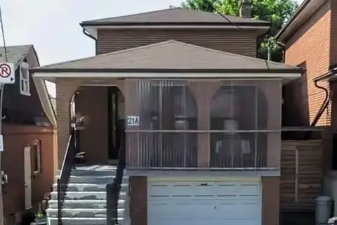
$1,600/mo
Reduced $400
2 bd1 ba1 pk1500-2000 ft²
21A Lambton Avenue Bsmt
Rockcliffe-Smythe, Toronto
Detached · MLS® W13668514 · ROYAL LEPAGE IGNITE REALTY
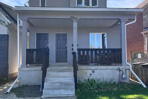
$1,400/mo
1 bd1 ba2 pk1500-2000 ft²
6 Lapp Street LOWER
Rockcliffe-Smythe, Toronto
Duplex · MLS® W13737328 · THE REALTY FIRM INC.
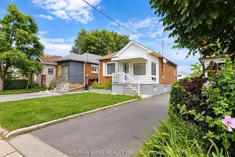
$1,600/mo
1 bd1 ba< 700 ft²
51 Mould Avenue Bsmt
Rockcliffe-Smythe, Toronto
Detached · MLS® W13799540 · RE/MAX WEST REALTY INC.
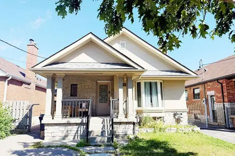
$1,699/mo
Reduced $51
1 bd1 ba1 pk1500-2000 ft²
29 Glamis Avenue Lower
Rockcliffe-Smythe, Toronto
Detached · MLS® W13501442 · ROYAL LEPAGE TERREQUITY CAPITAL REALTY
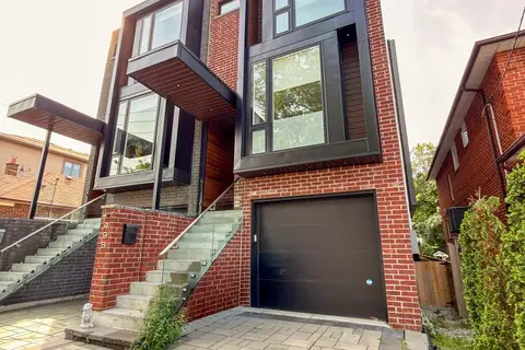
$1,699/mo
Reduced $81
1 bd1 ba700-1100 ft²
49 B East Drive Lower
Rockcliffe-Smythe, Toronto
Semi-Detached · MLS® W13836368 · RIGHT AT HOME REALTY
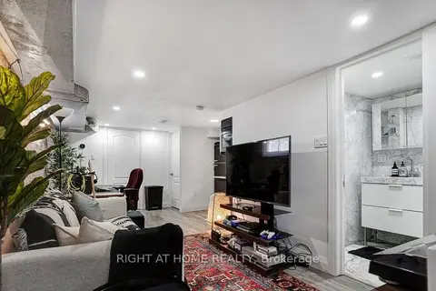
$1,700/mo
1 bd1 ba1 pk1100-1500 ft²
35 Chryessa Avenue Lower
Rockcliffe-Smythe, Toronto
Detached · MLS® W14089168 · RIGHT AT HOME REALTY