224 Burgar Street
768 - Welland Downtown, Welland, L3B 2T4
$359,900
- 3 bedrooms
- 2 bathrooms
- 3 parking
- 1100-1500 sq ft
Listed 89 days ago · MLS® X13596456
About this home
Property sold "As is, Where is" basis. Seller makes no representations and/or warranties.
Details
- Type
- Detached
- Style
- 2-Storey
- Age
- 100+ years
- Size
- 1100-1500 sq ft
- Lot
- 36 × 110 ft
- Basement
- Unfinished
- Garage
- Detached
- Kitchens
- 1
- Property tax
- $2,415 (2025)
- Neighbourhood
- 768 - Welland Downtown
- Municipality
- Welland
- Price per sq ft
- $277 (6% below detached houses in 768 - Welland Downtown, $295)
Interior
- Bedrooms
- 3 above ground
- Bathrooms
- 1 × 4-piece (main), 1 × 3-piece (second)
- Rooms
- 5 above ground
- Family room or den
- No
- Fireplace
- No
- Features
- Water Heater
Heating, cooling and services
- Heating
- Forced Air, Gas
- Water and sewer
- Sewer
Building and exterior
- Style
- 2-Storey
- Exterior
- Vinyl Siding
- Roof
- Asphalt Shingle
- Foundation
- Concrete
- Age
- 100+
- Faces
- East
Parking
- Garage spaces
- 2
- Total parking
- 3
- Driveway and parking
- Private
Lot
- Size
- 36 × 110 ft
More
- Possession
- Immediate
- Cross street
- Lincoln St. to Burgar St.
Rooms
| Room | Level | Size | Features |
|---|---|---|---|
| Living Room | Main | 5.54 × 3.28 m (18'2" × 10'9") | |
| Kitchen | Main | 4.06 × 4.01 m (13'4" × 13'2") | |
| Bedroom | Main | 4.47 × 2.84 m (14'8" × 9'4") | |
| Bedroom | Second | 4.19 × 3.2 m (13'9" × 10'6") | |
| Bedroom | Second | 3.45 × 2.46 m (11'4" × 8'1") |
Location
Location is approximate. See nearby homes on the map
Recent sales nearby
See what similar homes within 1 km sold for in the last year. Create a free account or sign in to see them.
The neighbourhood
Getting around Walkable
No subway, LRT or GO station within a short trip.
Within a 10-minute walk: 1 grocery store, 21 cafés and restaurants, 9 parks, 6 pharmacies. Nearest grocery: No Frills (300 m). Nearest park: Burgar Park (300 m).
Schools nearby
Elementary
- Plymouth Public School
EQAO: Gr 6 reading 100%, math 100%8 min walk - St. Mary Catholic Elementary School Catholic
EQAO: Gr 6 reading 83%, math 50%10 min walk - Princess Elizabeth Public School
EQAO: Gr 6 reading 90%, math 48%14 min walk - École élémentaire catholique Saint-François-d'Assise Catholic · French
EQAO: Gr 6 reading 86%, math 29%17 min walk
Secondary
- Eastdale Secondary School
EQAO: Gr 9 math 43%, literacy test 92%1.6 km - Notre Dame College School Catholic
EQAO: Gr 9 math 56%, literacy test 85%1.6 km
EQAO: share of students meeting the provincial standard (2024–25). Ontario average: Gr 6 reading 86%, math 51%; Gr 9 math 55%; literacy test 83%.
Closest schools, not school zones. Check which school serves this address with the school board before relying on it.
Who lives here postal area L3B
- Owners / renters
- 65% / 35%
- Median household income
- $66,500
- Average age
- 43
- Children under 15
- 16%
- Homes
- 65% detached, 3% high-rise
- Commute by transit
- 2%
- Population
- 25,869
Languages spoken most at home besides English: Spanish 0.6%, Italian 0.5%, Urdu 0.4%, Punjabi (Panjabi) 0.2%.
Flood and conservation No mapped hazard
Not inside a mapped flood plain or regulated area in Niagara Peninsula Conservation’s mapping.
Screening maps only. Ask the conservation authority for a property inquiry before relying on this.
Safety
Crime Severity Index for Niagara Region (St. Catharines) police: 54 vs 57 for Ontario (2025).
Police-reported figures for the whole police service area, not this street. Rates use the area’s resident population.
Distances are approximate. Places © OpenStreetMap contributors. Neighbourhood figures: Statistics Canada, 2021 Census. School results: EQAO via Ontario Data Catalogue (Open Government Licence – Ontario). Flood and regulation mapping: Niagara Peninsula Conservation open data. Crime Severity Index: Statistics Canada.
Living here
Commute
To Union Station (downtown Toronto): 74 km. Transit times · Driving times
Noise 1 source nearby
- 🚆 Rail line (Canal Spur)150 m
Distances from the map, not noise measurements. Visit at rush hour to judge for yourself.
Internet High-speed
50/10 Mbps or faster available here by cable, fibre or DSL (the federal high-speed target).
From the federal broadband map. Check exact speeds and providers for the address.
Roads, rail, airports and planned stations © OpenStreetMap contributors. Internet: Innovation, Science and Economic Development Canada, National Broadband Data.
Listed by ROYAL LEPAGE STATE REALTY.
Listing information provided by PropTx Innovations Inc. and TRREB; deemed reliable but not guaranteed accurate by PropTx.
Similar homes nearby
See more in Welland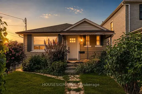
$349,900
2 bd1 ba2 pk700-1100 ft²
45 Albert Street
768 - Welland Downtown, Welland
Detached · MLS® X13731312 · HOUSESIGMA INC.
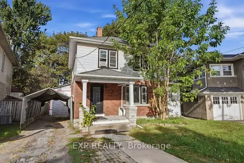
$349,900
3 bd1 ba1 pk1500-2000 ft²
15 MARGERY Road
768 - Welland Downtown, Welland
Detached · MLS® X13826586 · EXP REALTY
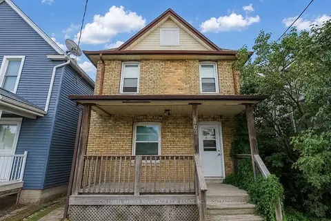
$339,900
Reduced $50,000
4 bd2 ba2 pk1100-1500 ft²
305 Burgar Street
768 - Welland Downtown, Welland
Duplex · MLS® X13738778 · COLDWELL BANKER ADVANTAGE REAL ESTATE INC, BROKERAGE
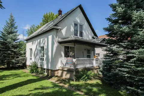
$329,900
Reduced $20,000
3 bd1 ba6 pk1100-1500 ft²
67 Ross Street
768 - Welland Downtown, Welland
Detached · MLS® X13757974 · COLDWELL BANKER ADVANTAGE REAL ESTATE INC, BROKERAGE
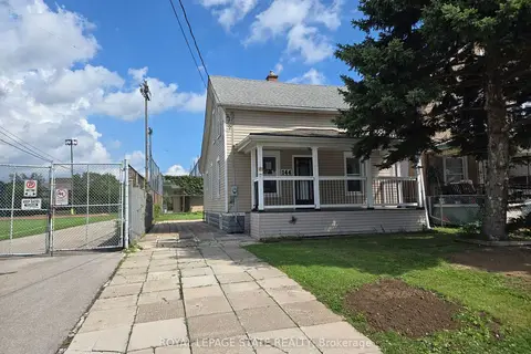
$327,500
Reduced $8,400
3 bd1 ba3 pk700-1100 ft²
144 Burgar Street
768 - Welland Downtown, Welland
Detached · MLS® X13740714 · ROYAL LEPAGE STATE REALTY
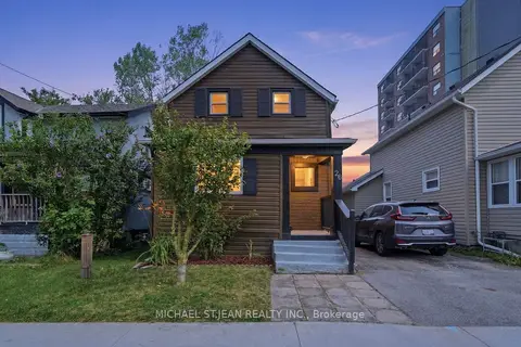
$394,900
3 bd2 ba1 pk1100-1500 ft²
26 State Street
768 - Welland Downtown, Welland
Detached · MLS® X13577494 · MICHAEL ST.JEAN REALTY INC.
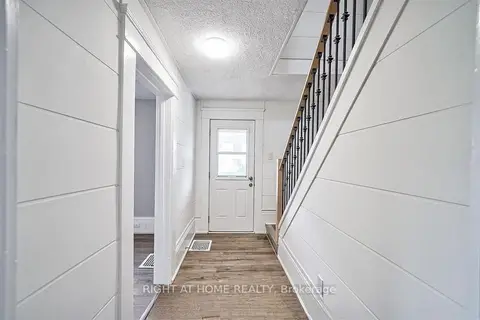
$395,000
4+1 bd6 ba2 pk1100-1500 ft²
15 Asher Street
768 - Welland Downtown, Welland
Detached · MLS® X13886652 · RIGHT AT HOME REALTY
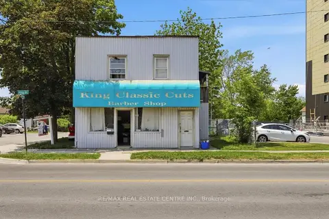
$399,000
6 bd3 ba6 pk2000-2500 ft²
233 King Street
768 - Welland Downtown, Welland
Detached · MLS® X13857712 · RE/MAX REAL ESTATE CENTRE INC.