209 Wicksteed Avenue Unit 32
Leaside, Toronto, M4G 2C1
$699,000
Listed 41 days ago · MLS® C13758264
About this home
Premier commercial condo in Central Leaside's Wicksteed Business Park. Approximately 966 sq. ft. of versatile, clear-span space featuring soaring 12-ft exposed ceilings, industrial spiral ductwork, linear architectural lighting and durable polished concrete floors. Currently configured with a bright front entry/reception area, expansive open-concept main floorplate, dedicated rear room with sliding partition and in-suite plumbing rough-ins ready for customization. Flexible E 1.0 zoning supports a variety of potential uses, including an artisanal bakery or food-production space, specialty café or roastery, creative agency and professional office. Ground-floor direct access and dedicated on-site surface parking provide added convenience for staff and visitors. Ideally positioned near Laird Drive, Laird Station on the Eglinton Crosstown LRT, the DVP and Highway 401, with easy access to SmartCentres Leaside, specialty cafés, fitness destinations and other neighbourhood amenities. A distinctive, move-in-ready opportunity that can also be tailored to suit your business vision. Buyers to verify permitted use and zoning requirements.
Details
- Type
- Office
- Garage
- Outside/Surface
- Property tax
- $6,518 (2025)
- Neighbourhood
- Leaside
- Municipality
- Toronto C11
Heating, cooling and services
- Heating
- Gas Forced Air Closed
- Air conditioning
- Yes
- Utilities
- Yes
Building and exterior
- Building area
- 966 Square Feet
More
- Possession
- Flexible
- Cross street
- Wicksteed Avenue & Laird Drive
- Business type
- Professional Office
Location
Location is approximate. See nearby homes on the map
Recent sales nearby
See what similar homes within 1 km sold for in the last year. Create a free account or sign in to see them.
The neighbourhood
Getting around Very walkable
- 🚇 Sunnybrook Park LRT8 min walk
- 🚇 Laird LRT19 min walk
- 🚆 Danforth GO4.9 km
Within a 10-minute walk: 4 grocery stores, 11 cafés and restaurants, 6 parks, 4 pharmacies. Nearest grocery: Farm Boy (800 m). Nearest park: Leonard Linton Park (350 m).
Schools nearby
Elementary
- Thorncliffe Park Public School
EQAO: Gr 3 reading 37%, math 25%15 min walk - Grenoble Public School
EQAO: Gr 6 reading 58%, math 19%1.4 km - Gateway Public School
EQAO: Gr 6 reading 82%, math 27%1.5 km - Northlea Elementary and Middle School
EQAO: Gr 6 reading 95%, math 82%1.5 km
Secondary
- Valley Park Middle School18 min walk
- Marc Garneau Collegiate Institute
EQAO: Gr 9 math 34%, literacy test 72%1.3 km - Leaside High School
EQAO: Gr 9 math 79%, literacy test 95%1.8 km
EQAO: share of students meeting the provincial standard (2024–25). Ontario average: Gr 6 reading 86%, math 51%; Gr 9 math 55%; literacy test 83%.
Closest schools, not school zones. Check which school serves this address with the school board before relying on it.
Who lives here postal area M4G
- Owners / renters
- 68% / 32%
- Median household income
- $130,000
- Average age
- 43
- Children under 15
- 16%
- Homes
- 42% detached, 23% high-rise
- Commute by transit
- 13%
- Population
- 19,598
Languages spoken most at home besides English: Mandarin 0.9%, Spanish 0.8%, Iranian Persian 0.7%, Portuguese 0.7%.
Flood and conservation No mapped hazard
Not inside a mapped flood plain or regulated area.
Screening maps only. Ask the conservation authority for a property inquiry before relying on this.
Safety
Major crime per resident in Thorncliffe Park (2025): about the Toronto average, up 15% from the year before.
- Assaultabout average
- Break and enter45% below average
- Auto theft68% above average
- Robberyabout average
- Theft from vehiclesabout average
- Shootingsnone reported
Crime Severity Index for Toronto police: 60 vs 57 for Ontario (2025).
Police-reported figures for the whole neighbourhood, not this street. Rates use the area’s resident population.
Development nearby 3 active
-
235 WICKSTEED AVE · 300 mOfficial Plan / Zoning By-law Amendment · Application Received · applied 2026Zoning By-law Application to permit a ready-mix concrete batching plant and offfice..Application details
-
135 VANDERHOOF AVE · 200 mSite Plan · Under Review · applied 2026Site Plan Control Application proposes to develop the site with a 1 storey mezzanine industrial building for two tenants. 4 loading bays and 44 parking spaces…Application details
-
235 WICKSTEED AVE · 300 mOfficial Plan / Zoning By-law Amendment · Council Approved · applied 2025Zoning By-law Application to permit a temporary portable ready-mix concrete batching plant and offfice trailor for a period of up to three years.Application details
Rezoning, site plan, subdivision and condominium applications filed with the city.
Distances are approximate. Places © OpenStreetMap contributors. Neighbourhood figures: Statistics Canada, 2021 Census. School results: EQAO via Ontario Data Catalogue (Open Government Licence – Ontario). Neighbourhood crime: Toronto Police Service Public Safety Data Portal (Open Government Licence – Toronto Police Service). Crime Severity Index: Statistics Canada. Planning applications: City of Toronto open data.
Living here
Commute
To Union Station (downtown Toronto): 8 km. Transit times · Driving times
Coming transit
- 🚧 Thorncliffe Park 800 m
- 🚧 Flemingdon Park 1.1 km
- 🚧 Don Valley 1.4 km
Stations under construction or approved. Opening dates are the latest public estimates and often move.
Noise 1 source nearby
- 🚆 Rail line (Belleville Subdivision)50 m
Distances from the map, not noise measurements. Visit at rush hour to judge for yourself.
What can be built E
Employment Industrial (with a site-specific exception).
From Toronto’s Zoning By-law 569-2013 map. Lot size, setbacks and trees decide what actually fits; check with a planner before you buy.
Building permits
- Interior Alterations · 2026 · InspectionProposal for interior alterations , change of use, and change openings between multiple units
- Interior Alterations · 2017 · InspectionConstruct interior alterations (90m2)
- Interior Alterations · 2017 · ClosedAlteration to fit out office space at the front of building D
- Interior Alterations · 2016 · ClosedProposed interior alterations to the existing office space
- New Building · 2016 · ClosedBuilding D - Proposal to construct a 3-storey storage building (5406 m2), and four single storey walk-up storage blocks: Storage 1 (279…
10 permits on this block of the street in the last 2 years.
Permits filed with the City of Toronto. A permit doesn’t mean the work passed final inspection.
Trees
8 City street trees within 100 m, mostly honeys. That’s fewer than the Toronto average of 42.
Trees on City boulevards only, not private yards or parks.
Internet High-speed
50/10 Mbps or faster available here by cable, fibre or DSL (the federal high-speed target).
From the federal broadband map. Check exact speeds and providers for the address.
Zoning, heritage, building permits and street trees: City of Toronto open data (Open Government Licence – Toronto). Roads, rail, airports and planned stations © OpenStreetMap contributors. Internet: Innovation, Science and Economic Development Canada, National Broadband Data.
Listed by ROYAL LEPAGE REAL ESTATE SERVICES LTD..
Listing information provided by PropTx Innovations Inc. and TRREB; deemed reliable but not guaranteed accurate by PropTx.
Similar homes nearby
See more in Toronto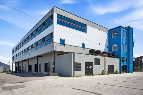
$624,600
45 Industrial Street 307/308
Leaside, Toronto
Office · MLS® C12753024 · BOSLEY REAL ESTATE LTD.
$624,600
45 Industrial Street 307/308
Leaside, Toronto
Industrial · MLS® C12753046 · BOSLEY REAL ESTATE LTD.
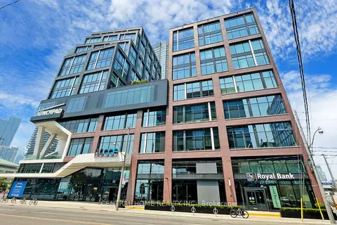
$699,000
Reduced $150,000
130 Queens Quay E 620
Waterfront Communities C8, Toronto
Office · MLS® C13167158 · CENTRAL HOME REALTY INC.
$699,000
340 Front Street W
Waterfront Communities C1, Toronto
Sale Of Business · MLS® C13553182 · LANDVIEW REALTY LTD.

$699,000
1571 Sandhurst Circle 508
Agincourt North, Toronto
Sale Of Business · MLS® E13873288 · HOMELIFE/MIRACLE REALTY LTD
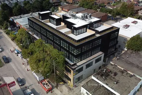
$699,000
300 Geary Avenue 309
Dovercourt-Wallace Emerson-Junction, Toronto
Office · MLS® W13540292 · REALTY ONE GROUP FLAGSHIP
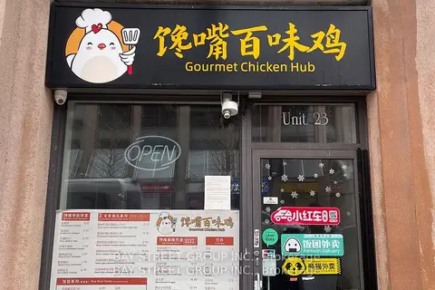
$699,900
15 Northtown Way 23
Willowdale East, Toronto
Commercial Retail · MLS® C13600710 · BAY STREET GROUP INC.
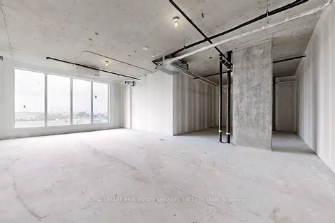
$699,900
998 Martin Grove Road 301
West Humber-Clairville, Toronto
Office · MLS® W13742192 · ROYAL LEPAGE REAL ESTATE SERVICES SUCCESS TEAM