200 Ronson Drive
West Humber-Clairville, Toronto, M9W 5Z9
$20,500,000
Reduced $8,000,000 from $28,500,000
Listed 223 days ago · MLS® W12867688
About this home
200 Ronson Drive presents a rare opportunity to convert (HOTEL / SELF STORAGE / VALUE ADD or OWNER-OCCUPIER OFFICE) and acquire a flagship asset in one of the GTA's most accessible and supply-constrained commercial nodes, with flexibility for continued office use or potential conversions. Prominent building with 151,189 sq ft of gross leasable area over 7 above grade floors and one lower ground level, with several renovations over the years, including new LED lights, HVAC, and electrical upgrades. Most floors will be vacant by 2027. Located just north of Highway 401 with immediate access off Martin Grove Road, connecting to all major highways including Highways 27, 400, 409 and the 427.
Details
- Type
- Office
- Lot
- 582 × 409 ft
- Garage
- Outside/Surface
- Property tax
- $464,416 (2025)
- Neighbourhood
- West Humber-Clairville
- Municipality
- Toronto W10
Heating, cooling and services
- Heating
- Gas Forced Air Open
- Air conditioning
- Yes
- Water and sewer
- Sanitary+Storm
- Utilities
- Yes
Building and exterior
- Building area
- 151,189 Square Feet
More
- Possession
- Immediate
- Cross street
- Martin Grove Rd & Dixon Rd
- Business type
- Professional Office
Location
Location is approximate. See nearby homes on the map
Recent sales nearby
See what similar homes within 1 km sold for in the last year. Create a free account or sign in to see them.
The neighbourhood
Getting around Somewhat walkable
- 🚆 Etobicoke North GO1.5 km
Within a 10-minute walk: no grocery stores, 12 cafés and restaurants, 3 parks. Nearest park: Blackfriar Park (700 m).
Schools nearby
Elementary
- Transfiguration of our Lord Catholic School Catholic
EQAO: Gr 6 reading 92%, math 63%11 min walk - École élémentaire Félix-Leclerc French
EQAO: Gr 6 reading 100%, math 88%15 min walk - Parkfield Junior School
EQAO: Gr 3 reading 74%, math 64%1.3 km - St. Maurice Catholic School Catholic
EQAO: Gr 6 reading 62%, math 14%1.5 km
Secondary
- Kipling Collegiate Institute
EQAO: Gr 9 math 20%, literacy test 71%18 min walk - Central Etobicoke High School2.0 km
EQAO: share of students meeting the provincial standard (2024–25). Ontario average: Gr 6 reading 86%, math 51%; Gr 9 math 55%; literacy test 83%.
Closest schools, not school zones. Check which school serves this address with the school board before relying on it.
Who lives here postal area M9W
- Owners / renters
- 58% / 42%
- Median household income
- $85,000
- Average age
- 41
- Children under 15
- 15%
- Homes
- 37% detached, 32% high-rise
- Commute by transit
- 22%
- Population
- 40,977
Languages spoken most at home besides English: Punjabi (Panjabi) 6.8%, Spanish 3.2%, Gujarati 2.4%, Tagalog (Pilipino, Filipino) 1.5%.
Flood and conservation No mapped hazard
Not inside a mapped flood plain or regulated area.
Screening maps only. Ask the conservation authority for a property inquiry before relying on this.
Safety
Major crime per resident in West Humber-Clairville (2025): 127% above the Toronto average, down 14% from the year before.
- Assault22% above average
- Break and enter83% above average
- Auto theft486% above average
- Robbery94% above average
- Theft from vehicles158% above average
- Shootings228% above average
Crime Severity Index for Toronto police: 60 vs 57 for Ontario (2025).
Police-reported figures for the whole neighbourhood, not this street. Rates use the area’s resident population.
Development nearby 1 active
-
585 DIXON RD · 450 mSite Plan · Under Review · applied 2025Site Plan Control application to demolish and reconstruct the gas station with an integrated convenience store, a quick-service restaurant with a…Application details
-
600 DIXON RD · 250 mPlan of Condominium · Closed · applied 2024Draft Plan of Standard Condominium for 115 commercial units.Application details
-
600 DIXON RD · 250 mSite Plan · Closed · applied 2022Proposed site plan amendment to existing site plan approval application Changes to interior configurations which results in an additional storeyApplication details
-
1030 MARTIN GROVE RD · 300 mSite Plan · Closed · applied 2022Proposal to construct a rear addition to the existing one storey, 2,498 square metre industrial building. The proposed addition measures 11 metres in height…Application details
Rezoning, site plan, subdivision and condominium applications filed with the city.
Distances are approximate. Places © OpenStreetMap contributors. Neighbourhood figures: Statistics Canada, 2021 Census. School results: EQAO via Ontario Data Catalogue (Open Government Licence – Ontario). Neighbourhood crime: Toronto Police Service Public Safety Data Portal (Open Government Licence – Toronto Police Service). Crime Severity Index: Statistics Canada. Planning applications: City of Toronto open data.
Living here
Commute
To Union Station (downtown Toronto): 16 km. Transit times · Driving times
Noise 2 sources nearby
- 🛣️ Highway 401200 m
- ✈️ In line with a Pearson runway2.7 km
Distances from the map, not noise measurements. Visit at rush hour to judge for yourself.
What can be built UT
Utility and Transportation (with a site-specific exception).
From Toronto’s Zoning By-law 569-2013 map. Lot size, setbacks and trees decide what actually fits; check with a planner before you buy.
Trees
0 City street trees within 100 m. That’s fewer than the Toronto average of 42.
Trees on City boulevards only, not private yards or parks.
Internet High-speed
50/10 Mbps or faster available here by cable, fibre or DSL (the federal high-speed target).
From the federal broadband map. Check exact speeds and providers for the address.
Zoning, heritage, building permits and street trees: City of Toronto open data (Open Government Licence – Toronto). Roads, rail, airports and planned stations © OpenStreetMap contributors. Internet: Innovation, Science and Economic Development Canada, National Broadband Data.
Listed by COLLIERS.
Listing information provided by PropTx Innovations Inc. and TRREB; deemed reliable but not guaranteed accurate by PropTx.
Similar homes nearby
See more in Toronto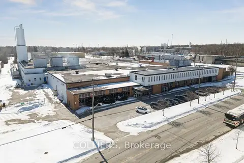
$20,949,000
595 Coronation Drive
West Hill, Toronto
Industrial · MLS® E13416664 · COLLIERS
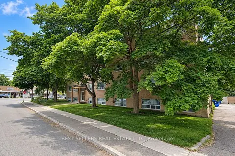
$19,999,999
0 bd
105 Twenty-Fifth Street
Long Branch, Toronto
Investment · MLS® W13775694 · BEST SELLERS REAL ESTATE LTD.
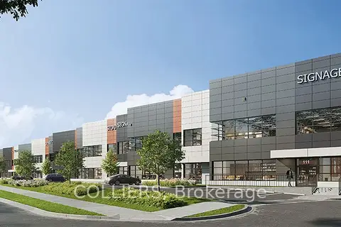
$21,136,005
3 ba
3250 Markham Road 103-106
Milliken, Toronto
Industrial · MLS® E12923220 · COLLIERS
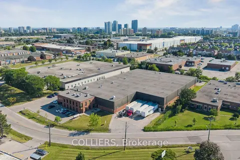
$21,500,000
45 Rolark Drive
Wexford-Maryvale, Toronto
Industrial · MLS® E13796642 · COLLIERS
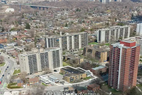
$19,000,000
16-26 Coburn Avenue
Broadview North, Toronto
Land · MLS® E14028870 · COLLIERS
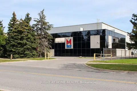
$18,000,000
61 Maybrook Drive
Milliken, Toronto
Industrial · MLS® E13881354 · RIGHT AT HOME REALTY
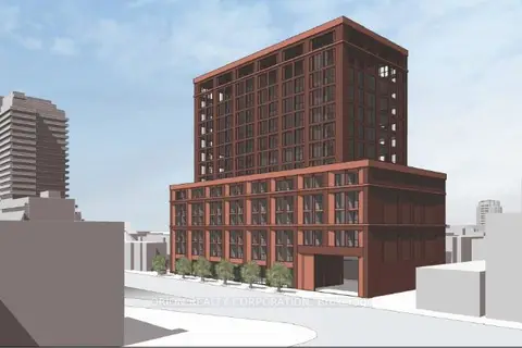
$23,500,000
1415 Bathurst Street
Casa Loma, Toronto
Commercial Retail · MLS® C12849752 · ORION REALTY CORPORATION
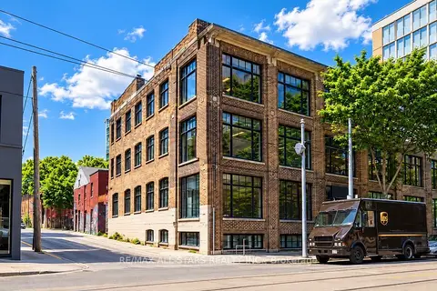
$23,985,000
10 ba
14 Mccaul Street
Kensington-Chinatown, Toronto
Investment · MLS® C13826508 · RE/MAX ALL-STARS REALTY INC.