1986 Bloor Street W
High Park North, Toronto, M6P 3K9
$3,500/mo
Listed 17 days ago · MLS® W13858326
About this home
Turnkey Food Business Opportunity - Prime High Park Location **RENT IS ALL INCLUSIVE (Including the equipment rental)** Excellent corner location directly across from beautiful High Park and just steps to Bloor Subway. Approximately 240 sq. ft. of dedicated food-service space available for lease within an established convenience store. The leased area is fully set up for a food operation, with a commercial grill, fryer, exhaust system, refrigerator and freezer already in place. This is a great opportunity for a food operator looking for a ready-to-go space with minimal setup required. The existing food-service area can be used for the current food concept or another permitted food use. Located within an established convenience store, the food business benefits from the convenience store's existing customer traffic, while also taking advantage of this highly desirable location directly across from High Park and steps from Bloor Subway. Gross lease with rent inclusive of utilities, providing simple and predictable occupancy costs. Just bring your concept and start operating.
Details
- Type
- Sale Of Business
- Lot
- 70 × 100 ft
- Garage
- None
- Property tax
- $50,671 (2026)
- Neighbourhood
- High Park North
- Municipality
- Toronto W02
Heating, cooling and services
- Heating
- Gas Forced Air Open
- Air conditioning
- Yes
Building and exterior
- Building area
- 240 Square Feet
Rental terms
- Minimum term
- 48 months
More
- Possession
- Imm / Vacant
- Cross street
- Bloor St W & High Park Ave
- Business type
- Fast Food/Takeout
Location
Location is approximate. See nearby homes on the map
The neighbourhood
Getting around Very walkable
- 🚇 High Park Subway3 min walk
- 🚇 Runnymede Subway10 min walk
- 🚆 Mount Dennis GO4.2 km
Within a 10-minute walk: 4 grocery stores, 38 cafés and restaurants, 13 parks, 6 pharmacies. Nearest grocery: No Frills (550 m). Nearest park: Parkview Gardens Parkette (100 m).
Schools nearby
Elementary
- Mountview Alternative School Junior
EQAO: Gr 6 reading 83%, math 83%11 min walk - Keele Street Public School
EQAO: Gr 6 reading 98%, math 84%12 min walk - Runnymede Junior and Senior Public School
EQAO: Gr 6 reading 99%, math 76%12 min walk - St. Cecilia Catholic School Catholic
EQAO: Gr 6 reading 98%, math 78%15 min walk
Secondary
- The Student School10 min walk
- Western Technical & Commercial School
EQAO: Gr 9 math 53%, literacy test 83%10 min walk - Ursula Franklin Academy Private
EQAO: Gr 9 math 86%, literacy test 99%11 min walk
EQAO: share of students meeting the provincial standard (2024–25). Ontario average: Gr 6 reading 86%, math 51%; Gr 9 math 55%; literacy test 83%.
Closest schools, not school zones. Check which school serves this address with the school board before relying on it.
Who lives here postal area M6P
- Owners / renters
- 42% / 58%
- Median household income
- $86,000
- Average age
- 41
- Children under 15
- 14%
- Homes
- 11% detached, 43% high-rise
- Commute by transit
- 33%
- Population
- 39,870
Languages spoken most at home besides English: Portuguese 2%, Spanish 1.7%, Russian 1.1%, Polish 0.9%.
Flood and conservation No mapped hazard
Not inside a mapped flood plain or regulated area.
Screening maps only. Ask the conservation authority for a property inquiry before relying on this.
Safety
Major crime per resident in High Park North (2025): 28% below the Toronto average, down 18% from the year before.
- Assaultabout average
- Break and enter30% below average
- Auto theft67% below average
- Robbery45% below average
- Theft from vehicles28% below average
- Shootings52% below average
Crime Severity Index for Toronto police: 60 vs 57 for Ontario (2025).
Police-reported figures for the whole neighbourhood, not this street. Rates use the area’s resident population.
Development nearby 4 active
-
1938 BLOOR ST W · 150 mSite Plan · Under Review · applied 2025Proposed 19-storey mixed-use building comprised of 137 dwelling units (including 12 rental replacement units) and 300 square metres of ground floor retail with…Application details
-
35 HIGH PARK AVE · 300 mSite Plan · NOAC Issued · applied 2020The proposed development would maintain the existing four rental buildings on the lands, while proposing to demolish two blocks of existing townhouses…Application details
-
299 GLENLAKE AVE · 500 mOfficial Plan / Zoning By-law Amendment · Council Approved · applied 2018The application proposes, on the northwest corner of the subject property, an 11-storey building with a 4-storey podium.Application details
-
2115 BLOOR ST W · 350 mSite Plan · NOAC Issued · applied 2017Site plan application to construct an 8-storey mixed use building with retail at-grade and 54 residential units above-grade. 46 vehicle parking spaces and 75…Application details
-
1938 BLOOR ST W · 150 mOfficial Plan / Zoning By-law Amendment · Closed · applied 2024Zoning By-law Amendment and Rental Housing Demolition & Conversion application to permit a 19-storey mixed-use building, containing 144 dwelling units (of…Application details
-
35 HIGH PARK AVE · 300 mOfficial Plan / Zoning By-law Amendment · Closed · applied 2022Zoning By-law Amendment application to lift the 'H' at 35, 41-63, 65 and 95 High Park Avenue and 66 & 102-116 Pacific Avenue.Application details
Rezoning, site plan, subdivision and condominium applications filed with the city.
Distances are approximate. Places © OpenStreetMap contributors. Neighbourhood figures: Statistics Canada, 2021 Census. School results: EQAO via Ontario Data Catalogue (Open Government Licence – Ontario). Neighbourhood crime: Toronto Police Service Public Safety Data Portal (Open Government Licence – Toronto Police Service). Crime Severity Index: Statistics Canada. Planning applications: City of Toronto open data.
Living here
Commute
To Union Station (downtown Toronto): 7 km. Transit times · Driving times
Noise Nothing major nearby
No highway within 500 m, rail line within 300 m, or airport flight path nearby.
Distances from the map, not noise measurements. Visit at rush hour to judge for yourself.
What can be built R
Residential (with a site-specific exception).
- ✅ Up to 6 homes on the lot (multiplex): a sixplex ward
- ✅ Garden suite in the backyard
- ✅ Laneway suite, if the lot backs onto a lane
From Toronto’s Zoning By-law 569-2013 map. Lot size, setbacks and trees decide what actually fits; check with a planner before you buy.
Trees
19 City street trees within 100 m. That’s fewer than the Toronto average of 42.
Trees on City boulevards only, not private yards or parks.
Internet High-speed
50/10 Mbps or faster available here by cable, fibre or DSL (the federal high-speed target).
From the federal broadband map. Check exact speeds and providers for the address.
Zoning, heritage, building permits and street trees: City of Toronto open data (Open Government Licence – Toronto). Roads, rail, airports and planned stations © OpenStreetMap contributors. Internet: Innovation, Science and Economic Development Canada, National Broadband Data.
Listed by CENTURY 21 LEADING EDGE REALTY INC..
Listing information provided by PropTx Innovations Inc. and TRREB; deemed reliable but not guaranteed accurate by PropTx.
Similar homes nearby
See more in Toronto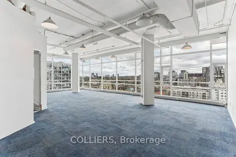
$3,500/mo
Reduced $1,250
477 Richmond Street 903
Waterfront Communities C1, Toronto
Office · MLS® C13008376 · COLLIERS
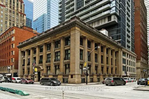
$3,500/mo
73 Richmond Street W
Bay Street Corridor, Toronto
Office · MLS® C13089166 · EXP REALTY
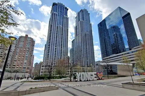
$3,500/mo
384 Yonge Street 49
Bay Street Corridor, Toronto
Commercial Retail · MLS® C13166086 · RE/MAX HALLMARK REALTY LTD.
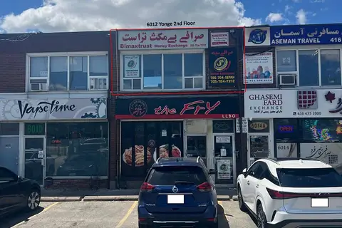
$3,500/mo
6012 Yonge Street 2nd
Newtonbrook West, Toronto
Commercial Retail · MLS® C13433616 · CENTURY 21 NEW CONCEPT
$3,500/mo
Reduced $500
Address withheld · Thorncliffe Park
Thorncliffe Park, Toronto
Industrial · MLS® C13464078 · BOSLEY REAL ESTATE LTD.
$3,500/mo
Reduced $500
45 Industrial Street 314
Thorncliffe Park, Toronto
Office · MLS® C13464526 · BOSLEY REAL ESTATE LTD.
$3,500/mo
Reduced $500
19 Hendon Avenue
Newtonbrook West, Toronto
Office · MLS® C13529030 · REN/TEX REALTY INC.
$3,500/mo
1 ba
198 Augusta Avenue Lower Level
Kensington-Chinatown, Toronto
Commercial Retail · MLS® C13559090 · HARVEY KALLES REAL ESTATE LTD.