185 James Street N
Central, Hamilton, L8R 2K9
$334,900
Listed 5 days ago · MLS® X14082542
About this home
A rare opportunity to own commercial space in one of Hamilton's most desirable mixed-use condominium buildings, brilliantly positioned at the corner of James Street North and Mulberry Street in the heart one of the city's leading vibrant arts, culture and dining districts. These high-visibility retail condominiums are offered in shell condition - ready for a purchaser to build out to suit their business. Ideal for a wide range of retail, service, office or storefront uses, the units may be purchased individually or together, creating flexibility for both owner-occupiers and investors. Heating and cooling and water are all included in the condominium fees, leaving electricity as the unit's only directly metered utility. Shared common-element washrooms eliminate the need to dedicate valuable floor area or maintenance responsibility to private facilities, while each unit also includes an on-site storage locker and a parking space in the building's secure indoor garage. The location is exceptional: steps from the shops, galleries, cafes and businesses that define James North, and within easy reach of the West Harbour GO Station, Hamilton's waterfront, and the downtown financial and employment core. Priced with owner-occupiers in mind, these units offer a compelling alternative to leasing comparable space in the area. Rather than simply paying rent, a purchaser has the opportunity to control their premises, build equity over time and establish their business in one of downtown Hamilton's highest-demand commercial hotspots.
Details
- Type
- Commercial Retail
- Garage
- Underground
- Property tax
- $7,028 (2026)
- Neighbourhood
- Central
- Municipality
- Hamilton
Heating, cooling and services
- Heating
- Gas Forced Air Closed
- Utilities
- Yes
Building and exterior
- Building area
- 732 Square Feet
More
- Possession
- Flexible
- Cross street
- Mulberry
- Business type
- Retail Store Related
History of this address
1 earlier listing at this address, with sold and leased prices. Create a free account or sign in to see them.
Location
Location is approximate. See nearby homes on the map
Recent sales nearby
See what similar homes within 1 km sold for in the last year. Create a free account or sign in to see them.
The neighbourhood
Getting around Very walkable
- 🚆 West Harbour GO9 min walk
Within a 10-minute walk: 19 grocery stores, 148 cafés and restaurants, 11 parks, 12 pharmacies. Nearest grocery: Lola Latin Grocery (150 m). Nearest park: York Boulevard Parkette (250 m).
Schools nearby
Elementary
- Dr. J. Edgar Davey Elementary School
EQAO: Gr 6 reading 71%, math 14%10 min walk - Hess Street Junior Public School
EQAO: Gr 6 reading 66%, math 38%12 min walk - Bennetto Elementary School
EQAO: Gr 6 reading 64%, math 19%14 min walk - Central Junior Public School
EQAO: Gr 3 reading 41%, math 48%16 min walk
Secondary
- St. Charles Adult & Continuing Education Centre - Downtown Campus Catholic18 min walk
- Kanétskare Elementary School1.5 km
- Cathedral High School Catholic
EQAO: Gr 9 math 43%, literacy test 64%1.8 km
EQAO: share of students meeting the provincial standard (2024–25). Ontario average: Gr 6 reading 86%, math 51%; Gr 9 math 55%; literacy test 83%.
Closest schools, not school zones. Check which school serves this address with the school board before relying on it.
Who lives here postal area L8R
- Owners / renters
- 32% / 68%
- Median household income
- $53,600
- Average age
- 42
- Children under 15
- 13%
- Homes
- 19% detached, 50% high-rise
- Commute by transit
- 17%
- Population
- 11,651
Languages spoken most at home besides English: Somali 2.1%, Vietnamese 2.1%, Arabic 2%, Spanish 1.6%.
Flood and conservation No mapped hazard
Not inside a mapped flood plain or regulated area in Niagara Peninsula Conservation’s mapping.
Screening maps only. Ask the conservation authority for a property inquiry before relying on this.
Safety
Crime Severity Index for Hamilton police: 62 vs 57 for Ontario (2025).
Police-reported figures for the whole police service area, not this street. Rates use the area’s resident population.
Distances are approximate. Places © OpenStreetMap contributors. Neighbourhood figures: Statistics Canada, 2021 Census. School results: EQAO via Ontario Data Catalogue (Open Government Licence – Ontario). Flood and regulation mapping: Niagara Peninsula Conservation open data. Crime Severity Index: Statistics Canada.
Living here
Commute
To Union Station (downtown Toronto): 58 km. Transit times · Driving times
Noise Nothing major nearby
No highway within 500 m, rail line within 300 m, or airport flight path nearby.
Distances from the map, not noise measurements. Visit at rush hour to judge for yourself.
Internet High-speed
50/10 Mbps or faster available here by cable, fibre or DSL (the federal high-speed target).
From the federal broadband map. Check exact speeds and providers for the address.
Roads, rail, airports and planned stations © OpenStreetMap contributors. Internet: Innovation, Science and Economic Development Canada, National Broadband Data.
Listed by Corcoran Horizon Realty.
Listing information provided by PropTx Innovations Inc. and TRREB; deemed reliable but not guaranteed accurate by PropTx.
Similar homes nearby
See more in Hamilton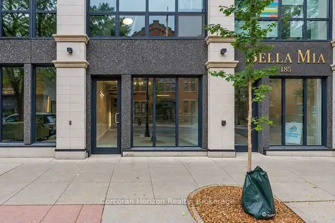
$319,900
183 James Street N
Central, Hamilton
Commercial Retail · MLS® X14082516 · Corcoran Horizon Realty
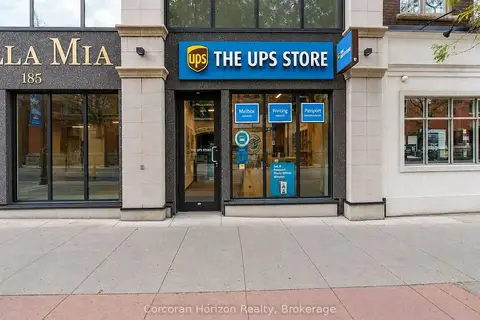
$354,900
187 James Street N
Central, Hamilton
Commercial Retail · MLS® X14082564 · Corcoran Horizon Realty
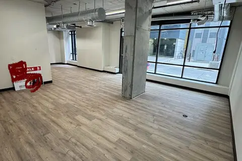
$389,000
150 Main Street W C5A
Central, Hamilton
Commercial Retail · MLS® X13882538 · ROYAL LEPAGE MEADOWTOWNE REALTY
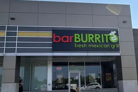
$339,999
640 Queenston Road C
Corman, Hamilton
Sale Of Business · MLS® X13558494 · HOMELIFE/MIRACLE REALTY LTD
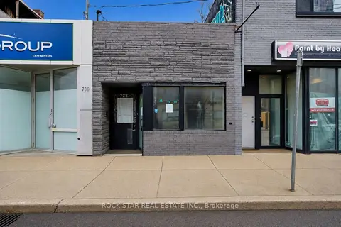
$349,900
728 Main Street E
St. Clair, Hamilton
Commercial Retail · MLS® X13650598 · ROCK STAR REAL ESTATE INC.
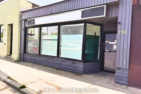
$359,905
Reduced $40,000
1 ba
774 Barton Street E
Stipley, Hamilton
Commercial Retail · MLS® X13533790 · CITY BROKERAGE
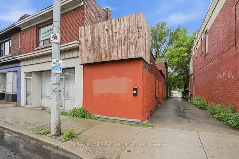
$299,900
721 1/2 BARTON Street E
Stipley, Hamilton
Commercial Retail · MLS® X13529458 · RE/MAX ESCARPMENT GOLFI REALTY INC.
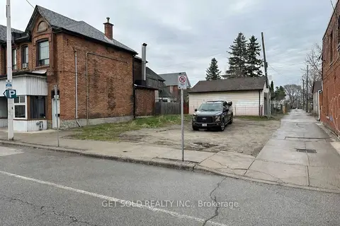
$299,000
Reduced $100,000
325 Barton Street E
Landsdale, Hamilton
Land · MLS® X12988764 · GET SOLD REALTY INC.