1710 Midland Avenue 17
Dorset Park, Toronto, M1P 3C7
$26/mo
- 2 bathrooms
Listed 19 days ago · MLS® E13846112
About this home
**ASSIGNMENT OF LEASE - PRIME SCARBOROUGH LOCATION!**Rare opportunity to take over the lease of a **2,400 sq. ft. industrial endcap unit** in a highly sought-after Scarborough location. This high-exposure corner unit directly faces **Midwest Road**, offering excellent visibility, accessibility, and convenient access for customers and deliveries.**Key Features:*** Approx. **2,400 sq. ft.** of versatile industrial space* **Endcap unit** with premium corner exposure **Oversized drive-in doors** plus main entrance doors for efficient workflow* **Newly renovated** with durable, easy-to-maintain epoxy flooring* Clean, functional, and **move-in ready** * Excellent location with quick access to major highways* Strong traffic and visibility along Midwest Road**Don't miss this rare opportunity to secure a well-located industrial space in a high-demand Scarborough commercial/industrial node!**
Details
- Type
- Commercial Retail
- Age
- 51-99 years
- Lot
- 156 × 601.07 ft
- Garage
- Plaza
- Property tax
- $6 (2026)
- Neighbourhood
- Dorset Park
- Municipality
- Toronto E04
Interior
- Bathrooms
- 2 × bathroom
Heating, cooling and services
- Heating
- Gas Forced Air Closed
- Air conditioning
- Partial
- Water and sewer
- Sanitary+Storm
- Utilities
- Available
Building and exterior
- Age
- 51-99 years
- Building area
- 2,400 Square Feet
Rental terms
- Minimum term
- 44 months
More
- Possession
- TBA
- Cross street
- Midland Ave & Ellesmere Rd
Location
Location is approximate. See nearby homes on the map
The neighbourhood
Getting around Walkable
- 🚆 Kennedy GO3.1 km
Within a 10-minute walk: 1 grocery store, 13 cafés and restaurants, 4 parks, 1 pharmacy. Nearest grocery: FreshCo (950 m). Nearest park: West Birkdale Park (700 m).
Schools nearby
Elementary
- Donwood Park Public School
EQAO: Gr 6 reading 54%, math 32%10 min walk - Edgewood Public School
EQAO: Gr 6 reading 44%, math 6%12 min walk - Dorset Park Public School
EQAO: Gr 6 reading 88%, math 68%1.3 km - St. Victor Catholic School Catholic
EQAO: Gr 6 reading 77%, math 49%1.3 km
Secondary
- David and Mary Thomson Collegiate Institute
EQAO: Gr 9 math 32%, literacy test 72%12 min walk - St. Andrews Public School Catholic1.5 km
- Winston Churchill Collegiate Institute
EQAO: Gr 9 math 22%, literacy test 65%1.5 km
EQAO: share of students meeting the provincial standard (2024–25). Ontario average: Gr 6 reading 86%, math 51%; Gr 9 math 55%; literacy test 83%.
Closest schools, not school zones. Check which school serves this address with the school board before relying on it.
Who lives here postal area M1P
- Owners / renters
- 59% / 41%
- Median household income
- $76,000
- Average age
- 42
- Children under 15
- 15%
- Homes
- 25% detached, 51% high-rise
- Commute by transit
- 29%
- Population
- 45,170
Languages spoken most at home besides English: Tamil 5.6%, Yue (Cantonese) 4.3%, Mandarin 3.9%, Tagalog (Pilipino, Filipino) 3.5%.
Flood and conservation No mapped hazard
Not inside a mapped flood plain or regulated area.
Screening maps only. Ask the conservation authority for a property inquiry before relying on this.
Safety
Major crime per resident in Dorset Park (2025): about the Toronto average, down 11% from the year before.
- Assaultabout average
- Break and enterabout average
- Auto theft58% above average
- Robbery44% above average
- Theft from vehicles58% above average
- Shootings123% above average
Crime Severity Index for Toronto police: 60 vs 57 for Ontario (2025).
Police-reported figures for the whole neighbourhood, not this street. Rates use the area’s resident population.
Development nearby 1 active
-
1710 MIDLAND AVE · 0 mPlan of Condominium · Draft Plan Approved · applied 2019Draft Plan of Condominium to create 17 condominium units within existing 1 storey industrial building.Application details
Rezoning, site plan, subdivision and condominium applications filed with the city.
Distances are approximate. Places © OpenStreetMap contributors. Neighbourhood figures: Statistics Canada, 2021 Census. School results: EQAO via Ontario Data Catalogue (Open Government Licence – Ontario). Neighbourhood crime: Toronto Police Service Public Safety Data Portal (Open Government Licence – Toronto Police Service). Crime Severity Index: Statistics Canada. Planning applications: City of Toronto open data.
Living here
Commute
To Union Station (downtown Toronto): 16 km. Transit times · Driving times
Noise 1 source nearby
- 🚆 Rail line (Uxbridge Subdivision)300 m
Distances from the map, not noise measurements. Visit at rush hour to judge for yourself.
What can be built E
Employment Industrial (with a site-specific exception).
From Toronto’s Zoning By-law 569-2013 map. Lot size, setbacks and trees decide what actually fits; check with a planner before you buy.
Building permits
No building permits at this address since 2014.
4 permits on this block of the street in the last 2 years.
Permits filed with the City of Toronto. A permit doesn’t mean the work passed final inspection.
Trees
8 City street trees within 100 m, mostly elms. That’s fewer than the Toronto average of 42.
Trees on City boulevards only, not private yards or parks.
Internet High-speed
50/10 Mbps or faster available here by cable, fibre or DSL (the federal high-speed target).
From the federal broadband map. Check exact speeds and providers for the address.
Zoning, heritage, building permits and street trees: City of Toronto open data (Open Government Licence – Toronto). Roads, rail, airports and planned stations © OpenStreetMap contributors. Internet: Innovation, Science and Economic Development Canada, National Broadband Data.
Listed by ANJIA REALTY.
Listing information provided by PropTx Innovations Inc. and TRREB; deemed reliable but not guaranteed accurate by PropTx.
Similar homes nearby
See more in Toronto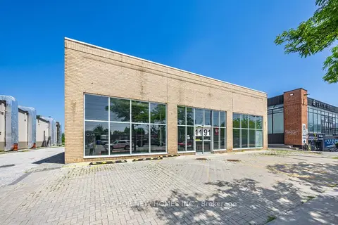
$25/mo
1191 Kennedy Road
Dorset Park, Toronto
Commercial Retail · MLS® E14028824 · ANCHOR NEW HOMES INC.
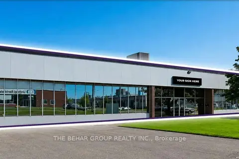
$21/mo
285 Midwest Road Option 1
Dorset Park, Toronto
Industrial · MLS® E13664592 · THE BEHAR GROUP REALTY INC.
$21/mo
285 Midwest Road Option 2
Dorset Park, Toronto
Industrial · MLS® E13667460 · THE BEHAR GROUP REALTY INC.
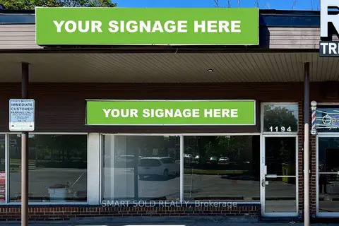
$31/mo
1194 Kennedy Road
Dorset Park, Toronto
Commercial Retail · MLS® E13876464 · SMART SOLD REALTY
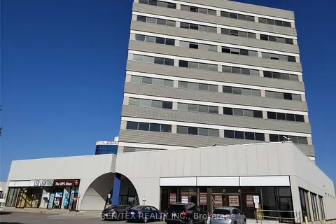
$26/mo
1110 Finch Avenue W 218
York University Heights, Toronto
Office · MLS® W5873778 · REN/TEX REALTY INC.
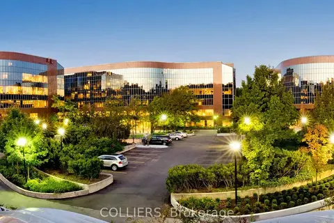
$26/mo
4100 Yonge Street 610
Bedford Park-Nortown, Toronto
Office · MLS® C12735776 · COLLIERS
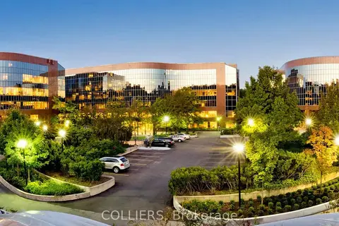
$26/mo
4100 Yonge Street 412
Bedford Park-Nortown, Toronto
Office · MLS® C12735778 · COLLIERS
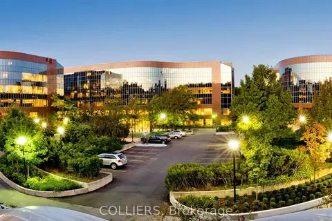
$26/mo
4100 Yonge Street 120
Bedford Park-Nortown, Toronto
Office · MLS® C12735780 · COLLIERS