1651 Lakeshore Road W
Clarkson, Mississauga, L5J 1J4
$3,599,000
- 2 bathrooms
Listed 179 days ago · MLS® W13042704
About this home
Seize this rare opportunity to own this highly versatile commercial property in the renowned Clarkson community. Spanning approximately 0.36 acres and backing onto a serene ravine, this expansive parcel offers C-4 zoning, allowing for a wide range of permitted uses, including medical offices, a pharmacy, personal service establishments, and more. Enjoy being in a prime location in a high-traffic area with excellent visibility, surrounded by well-established residential communities that ensure a steady customer base. Just minutes from Clarkson Village, where a variety of unique shops, restaurants, and cafes create a vibrant atmosphere, this property also offers close proximity to Rattray Marsh Conservation Area and waterfront trails. With easy access to the QEW and Highway 403, as well as nearby public transit options like Clarkson GO Station, convenience is guaranteed.
Details
- Type
- Commercial Retail
- Lot
- 80.94 × 227.03 ft
- Garage
- Outside/Surface
- Property tax
- $31,785 (2026)
- Neighbourhood
- Clarkson
- Municipality
- Mississauga
Interior
- Bathrooms
- 2 × bathroom
Heating, cooling and services
- Heating
- Gas Forced Air Open
- Air conditioning
- Yes
- Utilities
- Available
Building and exterior
- Building area
- 6,300 Square Feet
More
- Possession
- 60/90/TBD
- Cross street
- Lakeshore Rd W/Clarkson Rd N
History of this address
1 earlier listing at this address, with sold and leased prices. Create a free account or sign in to see them.
Location
Location is approximate. See nearby homes on the map
Recent sales nearby
See what similar homes within 1 km sold for in the last year. Create a free account or sign in to see them.
The neighbourhood
Getting around Walkable
- 🚆 Clarkson GO19 min walk
Within a 10-minute walk: 1 grocery store, 15 cafés and restaurants, 5 parks, 2 pharmacies. Nearest grocery: Food Basics (450 m). Nearest park: Turtle Glen Park (250 m).
Schools nearby
Elementary
- St. Christopher School Catholic
EQAO: Gr 6 reading 93%, math 68%8 min walk - Clarkson Public School
EQAO: Gr 3 reading 64%, math 57%8 min walk - White Oaks Montessori School Private16 min walk
- Western Heights Montessori Academy Private18 min walk
Secondary
- Green Glade Senior Public School16 min walk
- Lorne Park Secondary School
EQAO: Gr 9 math 74%, literacy test 96%1.5 km
EQAO: share of students meeting the provincial standard (2024–25). Ontario average: Gr 6 reading 86%, math 51%; Gr 9 math 55%; literacy test 83%.
Closest schools, not school zones. Check which school serves this address with the school board before relying on it.
Who lives here postal area L5J
- Owners / renters
- 74% / 26%
- Median household income
- $107,000
- Average age
- 43
- Children under 15
- 15%
- Homes
- 38% detached, 18% high-rise
- Commute by transit
- 10%
- Population
- 28,208
Languages spoken most at home besides English: Polish 2.1%, Mandarin 1.5%, Tagalog (Pilipino, Filipino) 1.4%, Arabic 1.2%.
Flood and conservation No mapped hazard
Not inside a mapped flood plain or regulated area in Credit Valley Conservation’s mapping.
Screening maps only. Ask the conservation authority for a property inquiry before relying on this.
Safety
Crime Severity Index for Peel Region (Mississauga/Brampton) police: 59 vs 57 for Ontario (2025).
Police-reported figures for the whole police service area, not this street. Rates use the area’s resident population.
Development nearby 2 active
-
1141 Clarkson Road N · 450 mDevelopment application · In process · applied 2025New site plan application for an apartment building and commercial uses (53 homes)
-
1034 Clarkson Road North · 200 mDevelopment application · In process · applied 2022One storey addition to existing one storey commercial building
Rezoning, site plan, subdivision and condominium applications filed with the city.
Distances are approximate. Places © OpenStreetMap contributors. Neighbourhood figures: Statistics Canada, 2021 Census. School results: EQAO via Ontario Data Catalogue (Open Government Licence – Ontario). Flood and regulation mapping: Credit Valley Conservation open data. Crime Severity Index: Statistics Canada. Planning applications: City of Mississauga open data.
Living here
Commute
To Union Station (downtown Toronto): 24 km. Transit times · Driving times
Noise Nothing major nearby
No highway within 500 m, rail line within 300 m, or airport flight path nearby.
Distances from the map, not noise measurements. Visit at rush hour to judge for yourself.
Internet High-speed
50/10 Mbps or faster available here by cable, fibre or DSL (the federal high-speed target).
From the federal broadband map. Check exact speeds and providers for the address.
Roads, rail, airports and planned stations © OpenStreetMap contributors. Internet: Innovation, Science and Economic Development Canada, National Broadband Data.
Listed by SAM MCDADI REAL ESTATE INC..
Listing information provided by PropTx Innovations Inc. and TRREB; deemed reliable but not guaranteed accurate by PropTx.
Similar homes nearby
See more in Mississauga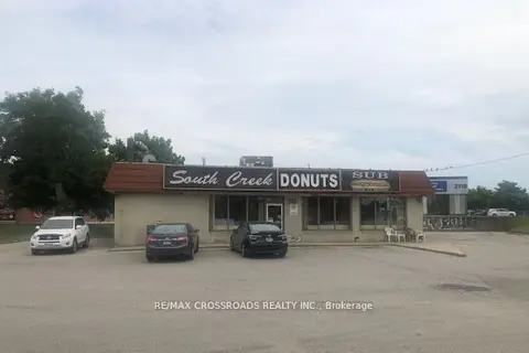
$3,600,000
2100 Dundas Street E
Dixie, Mississauga
Commercial Retail · MLS® W13528736 · RE/MAX CROSSROADS REALTY INC.
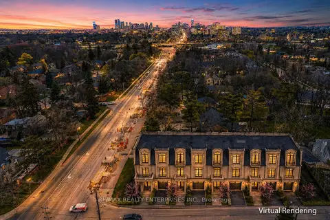
$3,499,850
1489 Hurontario Street
Mineola, Mississauga
Land · MLS® W13761302 · RE/MAX REALTY ENTERPRISES INC.
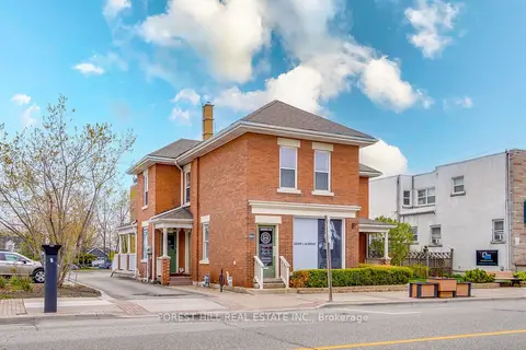
$3,488,000
4 ba
201 Queen Street S
Streetsville, Mississauga
Commercial Retail · MLS® W13015280 · FOREST HILL REAL ESTATE INC.
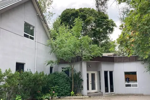
$3,400,000
1312 Hurontario Street
Mineola, Mississauga
Office · MLS® W13839020 · ENCOR ADVISORS CANADA LTD.
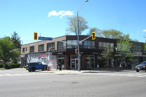 New
$3,798,888
279 Lakeshore Road E
Port Credit, Mississauga
Commercial Retail · MLS® W14092326 · HOMELIFE NEW WORLD REALTY INC.
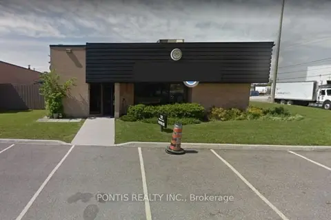
$3,799,786
1321 MATHESON Boulevard E
Northeast, Mississauga
Industrial · MLS® W13130196 · PONTIS REALTY INC.
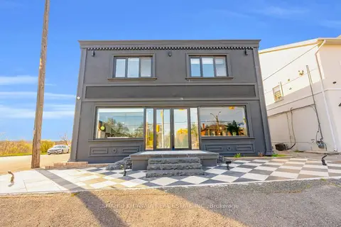
$3,899,900
7 ba
1563 Dundas Street W
Erindale, Mississauga
Commercial Retail · MLS® W13529072 · SHAHID KHAWAJA REAL ESTATE INC.
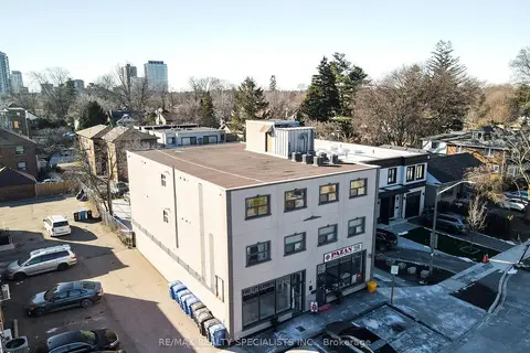
$3,900,000
6 bd
6 Brant Avenue
Port Credit, Mississauga
Investment · MLS® W13690772 · RE/MAX REALTY SPECIALISTS INC.