142 Mcarthur Avenue
773 - Lincoln/Crowland, Welland, L3B 2J9
$399,000
Reduced $20,000 from $419,000
- 2 bedrooms
- 1 bathrooms
- 2 parking
- < 700 sq ft
Listed 69 days ago · MLS® X13666510
About this home
This 2-bedroom, 1-bathroom home features an updated kitchen and laundry area. The property has received City of Welland approval for the severance of an adjacent building lot of similar size. According to the draft survey, each parcel is approximately 33 ft. x 100 ft. The adjacent parcel includes an approximately 12 ft. x 12 ft. insulated accessory building with electrical rough-in. The seller advises that the home's foundation has been reinforced with steel beams. The property is currently zoned R2. Buyers are responsible for completing their own due diligence regarding the status and conditions of the severance, lot dimensions, zoning, permitted uses, accessory-building and electrical approvals, and the feasibility of any future construction or additions. Supporting documentation is available for review.
Details
- Type
- Detached
- Style
- Bungalow
- Size
- < 700 sq ft
- Lot
- 66 × 100 ft
- Basement
- Crawl Space, Unfinished
- Garage
- None
- Kitchens
- 1
- Property tax
- $1,827 (2025)
- Neighbourhood
- 773 - Lincoln/Crowland
- Municipality
- Welland
- Price per sq ft
- ~$570 (43% above detached houses in 773 - Lincoln/Crowland, $400)
Interior
- Bedrooms
- 2 above ground
- Bathrooms
- 1 × 4-piece (main)
- Rooms
- 5 above ground
- Family room or den
- No
- Fireplace
- No
Heating, cooling and services
- Heating
- Forced Air, Gas
- Air conditioning
- Window Unit(s)
- Water and sewer
- Sewer
Building and exterior
- Style
- Bungalow
- Exterior
- Vinyl Siding
- Roof
- Asphalt Shingle
- Foundation
- Concrete Block
- Faces
- West
Parking
- Total parking
- 2
Lot
- Size
- 66 × 100 ft
More
- Possession
- Flexible
- Cross street
- McArthur Avenue and Simpson Avenue.
Rooms
| Room | Level | Size | Features |
|---|---|---|---|
| Bedroom | Main | 3.05 × 12 m (10' × 39'4") | |
| Bedroom | Main | 2.44 × 3.05 m (8' × 10') | |
| Kitchen | Main | 3.96 × 2.44 m (13' × 8') | |
| Living Room | Main | 3.66 × 4.88 m (12' × 16') |
History of this address
2 earlier listings at this address, with sold and leased prices. Create a free account or sign in to see them.
Location
Location is approximate. See nearby homes on the map
Recent sales nearby
See what similar homes within 1 km sold for in the last year. Create a free account or sign in to see them.
The neighbourhood
Getting around Walkable
No subway, LRT or GO station within a short trip.
Within a 10-minute walk: 2 grocery stores, 6 cafés and restaurants, 8 parks, 4 pharmacies. Nearest grocery: FreshCo (400 m). Nearest park: Bemus Park (100 m).
Schools nearby
Elementary
- St. Mary Catholic Elementary School Catholic
EQAO: Gr 6 reading 83%, math 50%8 min walk - Plymouth Public School
EQAO: Gr 6 reading 100%, math 100%8 min walk - École élémentaire catholique Saint-François-d'Assise Catholic · French
EQAO: Gr 6 reading 86%, math 29%10 min walk - Princess Elizabeth Public School
EQAO: Gr 6 reading 90%, math 48%13 min walk
Secondary
- Eastdale Secondary School
EQAO: Gr 9 math 43%, literacy test 92%1.5 km - Notre Dame College School Catholic
EQAO: Gr 9 math 56%, literacy test 85%2.4 km
EQAO: share of students meeting the provincial standard (2024–25). Ontario average: Gr 6 reading 86%, math 51%; Gr 9 math 55%; literacy test 83%.
Closest schools, not school zones. Check which school serves this address with the school board before relying on it.
Who lives here postal area L3B
- Owners / renters
- 65% / 35%
- Median household income
- $66,500
- Average age
- 43
- Children under 15
- 16%
- Homes
- 65% detached, 3% high-rise
- Commute by transit
- 2%
- Population
- 25,869
Languages spoken most at home besides English: Spanish 0.6%, Italian 0.5%, Urdu 0.4%, Punjabi (Panjabi) 0.2%.
Flood and conservation No mapped hazard
Not inside a mapped flood plain or regulated area in Niagara Peninsula Conservation’s mapping.
Screening maps only. Ask the conservation authority for a property inquiry before relying on this.
Safety
Crime Severity Index for Niagara Region (St. Catharines) police: 54 vs 57 for Ontario (2025).
Police-reported figures for the whole police service area, not this street. Rates use the area’s resident population.
Distances are approximate. Places © OpenStreetMap contributors. Neighbourhood figures: Statistics Canada, 2021 Census. School results: EQAO via Ontario Data Catalogue (Open Government Licence – Ontario). Flood and regulation mapping: Niagara Peninsula Conservation open data. Crime Severity Index: Statistics Canada.
Living here
Commute
To Union Station (downtown Toronto): 75 km. Transit times · Driving times
Noise 1 source nearby
- 🚆 Rail line (Canal Spur)150 m
Distances from the map, not noise measurements. Visit at rush hour to judge for yourself.
Internet High-speed
50/10 Mbps or faster available here by cable, fibre or DSL (the federal high-speed target).
From the federal broadband map. Check exact speeds and providers for the address.
Roads, rail, airports and planned stations © OpenStreetMap contributors. Internet: Innovation, Science and Economic Development Canada, National Broadband Data.
Listed by COMFREE.
Listing information provided by PropTx Innovations Inc. and TRREB; deemed reliable but not guaranteed accurate by PropTx.
Similar homes nearby
See more in Welland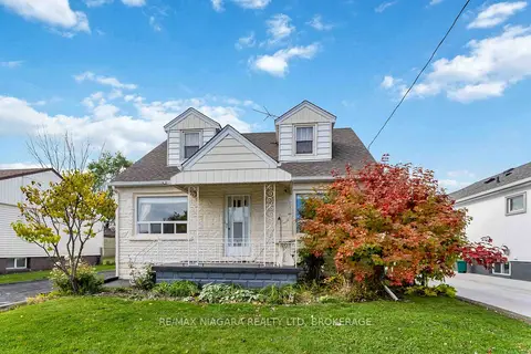
$399,900
Reduced $75,000
3 bd2 ba4 pk1100-1500 ft²
506 Harriet Street
773 - Lincoln/Crowland, Welland
Detached · MLS® X12520424 · RE/MAX NIAGARA REALTY LTD, BROKERAGE
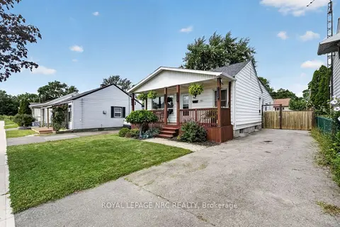
$399,900
Reduced $25,000
4 bd1 ba2 pk1100-1500 ft²
314 Dieppe Street
773 - Lincoln/Crowland, Welland
Detached · MLS® X13694588 · ROYAL LEPAGE NRC REALTY
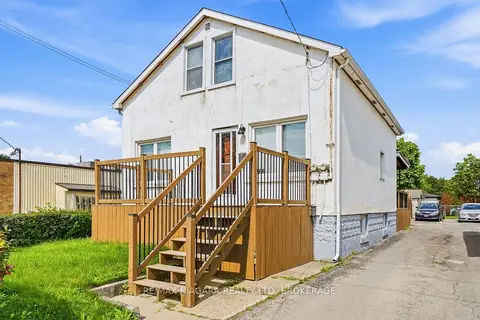
$399,900
4+1 bd3 ba2 pk1100-1500 ft²
509 Lincoln Street
773 - Lincoln/Crowland, Welland
Triplex · MLS® X13801784 · RE/MAX NIAGARA REALTY LTD, BROKERAGE
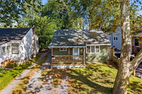
$395,000
3 bd1 ba5 pk700-1100 ft²
16 Achilles Avenue
773 - Lincoln/Crowland, Welland
Detached · MLS® X13838020 · COLDWELL BANKER ADVANTAGE REAL ESTATE INC, BROKERAGE
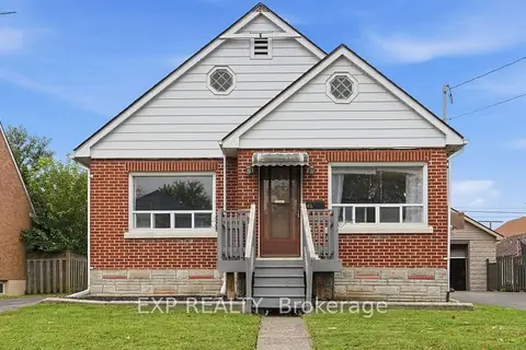
$385,000
Reduced $14,000
3 bd1 ba4 pk700-1100 ft²
63 Lyons Avenue
773 - Lincoln/Crowland, Welland
Detached · MLS® X13845998 · EXP REALTY
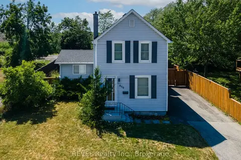
$419,999
3 bd1 ba3 pk700-1100 ft²
650 Deere Street
773 - Lincoln/Crowland, Welland
Detached · MLS® X13821864 · REVEL Realty Inc., Brokerage
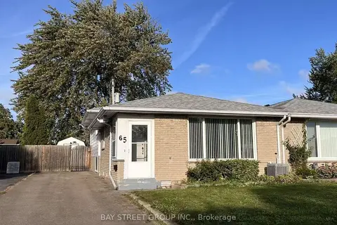
$420,000
Reduced $25,000
3+1 bd2 ba2 pk700-1100 ft²
65 SAINT ANDREWS Avenue
773 - Lincoln/Crowland, Welland
Semi-Detached · MLS® X13731378 · BAY STREET GROUP INC.
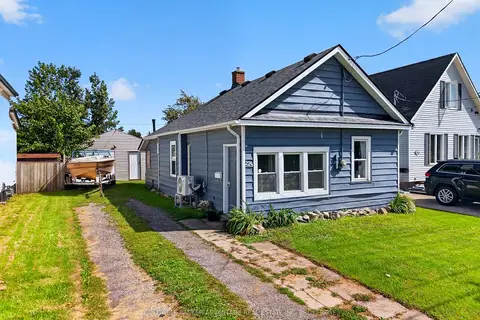
$375,000
2 bd1 ba3 pk700-1100 ft²
229 Dain Avenue
773 - Lincoln/Crowland, Welland
Detached · MLS® X13778494 · COLDWELL BANKER ADVANTAGE REAL ESTATE INC, BROKERAGE