1413 Ritson Road S Lower
Lakeview, Oshawa, L1J 7M3
$1,900/mo
Reduced $100 from $2,000
- 2 bedrooms
- 1 bathrooms
- 2 parking
- < 700 sq ft
Listed 53 days ago · MLS® E13720682
About this home
Nicely Renovated, Legal, Two Bedroom Lower Unit. Above Grade Windows With East And West View, Lots Of Sunlight (No Basement Feeling). Lots Of Storage Available. Two Car Parking. Steps Away From Lakeview Park, Beach And Trails. Steps To Store, Daycare, And South Oshawa Community Centre. Easy Access To 401. Landlord To Meet Client Before Possession. Tenant to pay 50% utilities. Separate laundry
Details
- Type
- Lower Level
- Style
- Bungalow-Raised
- Size
- < 700 sq ft
- Lot
- 27.89 × 108.27 ft
- Basement
- Walk-Up
- Garage
- None
- Kitchens
- 1
- Neighbourhood
- Lakeview
- Municipality
- Oshawa
- Rent increase limit
- Depends on when the unit was first lived in: before Nov. 15, 2018 it’s covered by Ontario’s yearly limit (2.1% in 2026); after, there’s no cap.
Interior
- Bedrooms
- 2 above ground
- Bathrooms
- 1 × 3-piece (basement)
- Rooms
- 4 above ground
- Family room or den
- Yes
- Fireplace
- No
- Laundry
- Ensuite
- Furnished
- Unfurnished
Heating, cooling and services
- Heating
- Forced Air, Gas
- Air conditioning
- Central Air
- Water and sewer
- Sewer
Building and exterior
- Style
- Bungalow-Raised
- Exterior
- Brick
- Roof
- Asphalt Rolled, Asphalt Shingle
- Foundation
- Brick
- Faces
- East
Parking
- Garage spaces
- 2
- Total parking
- 2
- Driveway and parking
- Private Double
Lot
- Size
- 27.89 × 108.27 ft
Rental terms
- Rent includes
- Parking
More
- Possession
- Immediate
- Cross street
- Ritson Rd & Valley Dr
Rooms
| Room | Level | Size | Features |
|---|---|---|---|
| Bedroom 2 | Basement | Above Grade Window | |
| Kitchen | Basement | Combined w/Living, Stainless Steel Appl, Quartz Counter | |
| Living Room | Basement | 0.31 × 0.31 m (1' × 1') | Above Grade Window |
| Laundry | Basement | 0.31 × 0.31 m (1' × 1') |
History of this address
3 earlier listings at this address, with sold and leased prices. Create a free account or sign in to see them.
Location
Location is approximate. See nearby homes on the map
The neighbourhood
Getting around Car-dependent
No subway, LRT or GO station within a short trip.
Within a 10-minute walk: no grocery stores, 0 cafés and restaurants, 7 parks. Nearest park: Lakewoods Park (500 m).
Schools nearby
Elementary
- Lakewoods Public School
EQAO: Gr 6 reading 50%, math 14%8 min walk - Dr. C.F. Cannon Public School
EQAO: Gr 6 reading 42%, math 14%18 min walk - Bobby Orr Public School
EQAO: Gr 6 reading 89%, math 29%18 min walk - Monsignor Philip Coffey Catholic School Catholic
EQAO: Gr 6 reading 68%, math 14%1.4 km
Secondary
- G. L. Roberts Collegiate and Vocational Institute
EQAO: Gr 9 math 20%, literacy test 54%11 min walk - Monsignor John Pereyma Catholic Secondary School Catholic
EQAO: Gr 9 math 38%, literacy test 87%2.1 km
EQAO: share of students meeting the provincial standard (2024–25). Ontario average: Gr 6 reading 86%, math 51%; Gr 9 math 55%; literacy test 83%.
Closest schools, not school zones. Check which school serves this address with the school board before relying on it.
Who lives here postal area L1J
- Owners / renters
- 60% / 40%
- Median household income
- $78,000
- Average age
- 41
- Children under 15
- 16%
- Homes
- 44% detached, 12% high-rise
- Commute by transit
- 7%
- Population
- 43,107
Languages spoken most at home besides English: Urdu 0.5%, Tagalog (Pilipino, Filipino) 0.5%, Spanish 0.4%, Tamil 0.3%.
Flood and conservation No mapped hazard
Not inside a mapped flood plain or regulated area in Central Lake Ontario Conservation’s mapping.
Screening maps only. Ask the conservation authority for a property inquiry before relying on this.
Safety
Crime Severity Index for Durham Region (Oshawa/Whitby/Ajax) police: 43 vs 57 for Ontario (2025).
Police-reported figures for the whole police service area, not this street. Rates use the area’s resident population.
Distances are approximate. Places © OpenStreetMap contributors. Neighbourhood figures: Statistics Canada, 2021 Census. School results: EQAO via Ontario Data Catalogue (Open Government Licence – Ontario). Flood and regulation mapping: Central Lake Ontario Conservation open data. Crime Severity Index: Statistics Canada.
Living here
Commute
To Union Station (downtown Toronto): 50 km. Transit times · Driving times
Noise Nothing major nearby
No highway within 500 m, rail line within 300 m, or airport flight path nearby.
Distances from the map, not noise measurements. Visit at rush hour to judge for yourself.
Internet High-speed
50/10 Mbps or faster available here by cable, fibre or DSL (the federal high-speed target).
From the federal broadband map. Check exact speeds and providers for the address.
Roads, rail, airports and planned stations © OpenStreetMap contributors. Internet: Innovation, Science and Economic Development Canada, National Broadband Data.
Listed by RE/MAX HALLMARK FIRST GROUP REALTY LTD..
Listing information provided by PropTx Innovations Inc. and TRREB; deemed reliable but not guaranteed accurate by PropTx.
Similar homes nearby
See more in Oshawa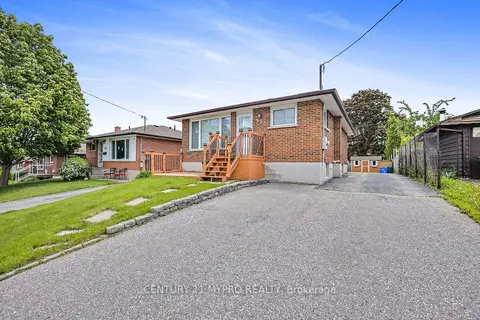
$1,900/mo
Reduced $100
2 bd2 ba4 pk1100-1500 ft²
BSMT 351 Conant Street
Lakeview, Oshawa
Detached · MLS® E13750916 · CENTURY 21 MYPRO REALTY
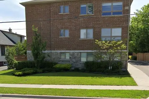
$1,895/mo
Reduced $100
2 bd1 ba1 pk700-1100 ft²
1418 Simcoe Street S 3
Lakeview, Oshawa
Multiplex · MLS® E13696288 · Royal LePage Frank Real Estate
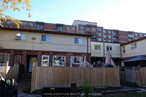
$1,950/mo
Reduced $50
3 bd1 ba1 pk700-1100 ft²
255 Porter Street 2
Lakeview, Oshawa
Att/Row/Townhouse · MLS® E13816754 · HOMELIFE/FUTURE REALTY INC.
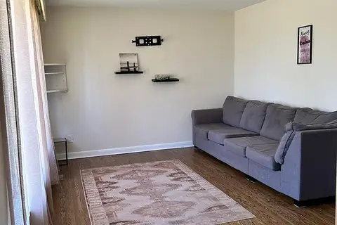
$2,000/mo
Reduced $200
3 bd1 ba700-1100 ft²
1409 Tremblay Street
Lakeview, Oshawa
Detached · MLS® E13548900 · RE/MAX METROPOLIS REALTY
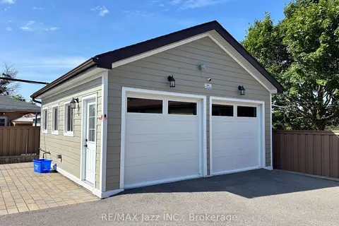
$1,800/mo
0 bd1 ba1 pk< 700 ft²
751 Phillip Murray Avenue Unit 3 (ADU)
Lakeview, Oshawa
Detached · MLS® E13594738 · RE/MAX Jazz INC.
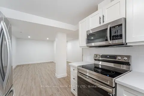
$1,800/mo
2+1 bd1 ba2 pk700-1100 ft²
283 PORTER - LOWER LEVEL Street
Lakeview, Oshawa
Lower Level · MLS® E13807234 · RE/MAX HALLMARK REALTY LTD.
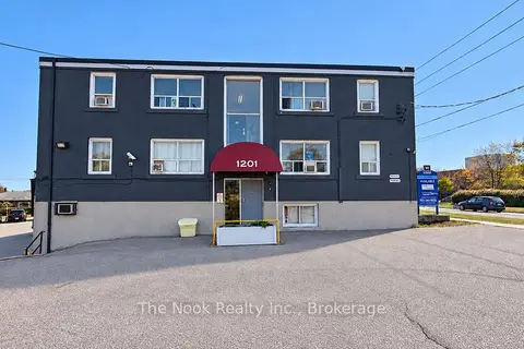
$1,775/mo
2 bd1 ba1 pk< 700 ft²
1201 Cedar Street 7
Lakeview, Oshawa
Other · MLS® E13877888 · The Nook Realty Inc.
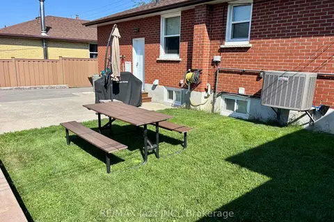
$1,750/mo
Reduced $250
2 bd1 ba1 pk700-1100 ft²
751 Phillip Murray Avenue Unit 2
Lakeview, Oshawa
Duplex · MLS® E13594732 · RE/MAX Jazz INC.