140 Woodbridge Avenue AL 1 & 2
West Woodbridge, Vaughan, L4L 4K9
$36/mo
Listed 41 days ago · MLS® N13759984
About this home
Modernly Renovated Space Featuring A Stylish And Functional Layout, Including A Bar Area, Open Concept Kitchen, And Ample Seating Configuration, Making It Ideal For A Turnkey Food And Beverage Operation. The Contemporary Design And Upgraded Finishes Create An Inviting Atmosphere For Both Dine In And Takeout Concepts. The Units Include 3 Washrooms For (1) Staff And (2) For Customer Convenience, 1 Office, A Walk-In Freezer, Along With Exclusive Use Of An Outdoor Patio Approx. 360 Sqft, Offering Additional Seating And A Highly Desirable Outdoor Dining Experience. Located In One Of Woodbridge's Most Established And Vibrant Commercial Hubs, Market Lane Offers Excellent Exposure, Strong Foot Traffic, And A Dynamic Mix Of Retail, Dining, And Service Based Businesses. Ample Surface Parking Is Available, With Easy Access To Surrounding Residential Communities And Major Routes.
Details
- Type
- Commercial Retail
- Garage
- Outside/Surface
- Property tax
- $20 (2026)
- Neighbourhood
- West Woodbridge
- Municipality
- Vaughan
Heating, cooling and services
- Heating
- Gas Forced Air Open
- Air conditioning
- Partial
- Water and sewer
- Sanitary+Storm
- Utilities
- Available
Building and exterior
- Building area
- 2,228 Square Feet
Rental terms
- Minimum term
- 12 months
More
- Possession
- Flexible
- Cross street
- Islington/Highway 7
- Business type
- Hospitality/Food Related
History of this address
1 earlier listing at this address, with sold and leased prices. Create a free account or sign in to see them.
Location
Location is approximate. See nearby homes on the map
The neighbourhood
Getting around Walkable
No subway, LRT or GO station within a short trip.
Within a 10-minute walk: 1 grocery store, 7 cafés and restaurants, 8 parks, 4 pharmacies. Nearest grocery: Cataldi Fresh Market (100 m). Nearest park: Nort Johnston District Park (250 m).
Schools nearby
Elementary
- Woodbridge Public School
EQAO: Gr 6 reading 86%, math 48%8 min walk - St. Peter Catholic Elementary School Catholic
EQAO: Gr 6 reading 95%, math 32%18 min walk - St. Clement Catholic Elementary School Catholic
EQAO: Gr 6 reading 98%, math 78%1.3 km - Pine Grove Public School
EQAO: Gr 6 reading 82%, math 36%1.5 km
Secondary
- Toronto District Christian High School Private10 min walk
- Woodbridge College
EQAO: Gr 9 math 50%, literacy test 91%17 min walk - Holy Cross Catholic Academy Catholic · Private
EQAO: Gr 9 math 70%, literacy test 79%1.9 km
EQAO: share of students meeting the provincial standard (2024–25). Ontario average: Gr 6 reading 86%, math 51%; Gr 9 math 55%; literacy test 83%.
Closest schools, not school zones. Check which school serves this address with the school board before relying on it.
Who lives here postal area L4L
- Owners / renters
- 85% / 15%
- Median household income
- $110,000
- Average age
- 46
- Children under 15
- 12%
- Homes
- 64% detached, 15% high-rise
- Commute by transit
- 5%
- Population
- 55,426
Languages spoken most at home besides English: Italian 10.3%, Punjabi (Panjabi) 1.8%, Spanish 1.8%, Mandarin 1%.
Flood and conservation Regulated area
This address is inside a conservation-authority regulated area (Toronto and Region Conservation Authority): near a valley, stream, shoreline or wetland, where flooding or erosion can occur. New building, additions, pools or grading usually need a permit from the authority.
Screening maps only. Ask the conservation authority for a property inquiry before relying on this.
Safety
Crime Severity Index for York Region police: 50 vs 57 for Ontario (2025).
Police-reported figures for the whole police service area, not this street. Rates use the area’s resident population.
Distances are approximate. Places © OpenStreetMap contributors. Neighbourhood figures: Statistics Canada, 2021 Census. School results: EQAO via Ontario Data Catalogue (Open Government Licence – Ontario). Flood and regulation mapping: Toronto and Region Conservation Authority open data. Crime Severity Index: Statistics Canada.
Living here
Commute
To Union Station (downtown Toronto): 23 km. Transit times · Driving times
Noise 1 source nearby
- 🚆 Rail line (MacTier Subdivision)300 m
Distances from the map, not noise measurements. Visit at rush hour to judge for yourself.
Internet High-speed
50/10 Mbps or faster available here by cable, fibre or DSL (the federal high-speed target).
From the federal broadband map. Check exact speeds and providers for the address.
Roads, rail, airports and planned stations © OpenStreetMap contributors. Internet: Innovation, Science and Economic Development Canada, National Broadband Data.
Listed by RE/MAX PREMIER INC..
Listing information provided by PropTx Innovations Inc. and TRREB; deemed reliable but not guaranteed accurate by PropTx.
Similar homes nearby
See more in Vaughan
$35/mo
177 Woodbridge Avenue 1
West Woodbridge, Vaughan
Commercial Retail · MLS® N13149612 · RE/MAX PREMIER INC.
$35/mo
177 Woodbridge Avenue 1 & 2
West Woodbridge, Vaughan
Commercial Retail · MLS® N13149634 · RE/MAX PREMIER INC.
$35/mo
177 Woodbridge Avenue 2
West Woodbridge, Vaughan
Commercial Retail · MLS® N13149940 · RE/MAX PREMIER INC.
$36/mo
2900 Langstaff Road 1 & 1A
Concord, Vaughan
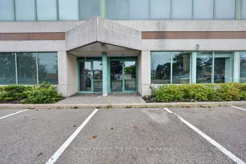
Office · MLS® N13815294 · RE/MAX PREMIER THE OP TEAM
$36/mo
2900 Langstaff Road 1 & 1A Upper
Concord, Vaughan
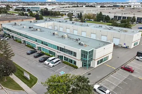
Office · MLS® N13820814 · RE/MAX PREMIER THE OP TEAM
$36/mo
2900 Langstaff Road 1 & 1A Main
Concord, Vaughan
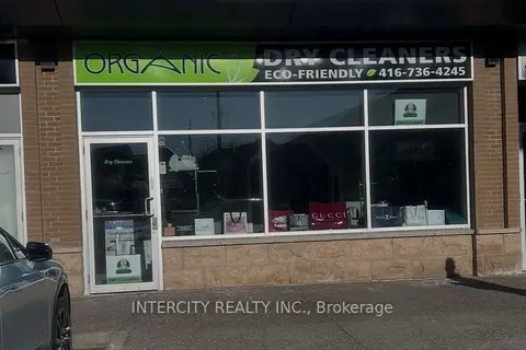
Office · MLS® N13825622 · RE/MAX PREMIER THE OP TEAM
$37/mo
1 ba
10385 Weston Road 2B
Rural Vaughan, Vaughan
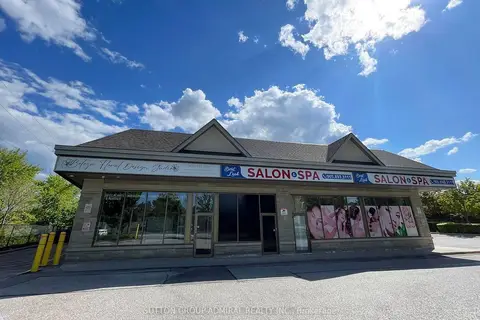
Commercial Retail · MLS® N12895848 · INTERCITY REALTY INC.
$35/mo
75 Napa Valley Avenue 1
Sonoma Heights, Vaughan
Commercial Retail · MLS® N13705890 · SUTTON GROUP-ADMIRAL REALTY INC.