140 Elm Ridge Drive 116
Briar Hill-Belgravia, Toronto, M6B 1B1 · More in this building
$2,349/mo
- 1 bedrooms
- 1 bathrooms
- 1 parking
- 700-799 sq ft
Listed today · MLS® W14098498
About this home
Location, Location! Roseburg square. This renovated 715 sq ft unit has a 90 sq ft walk-out to an east facing balcony. Stainless Steel Appliances and Hardwood throughout. TTC close by as well as Schools, Sobeys, a pharmacy, hair dresser, convenience store, and more in the complex. This unit has lots of closet space. Indoor pool and Daycare for kids in the complex (monthly charge) located a short walk away. Allen expressway and 401 a short drive away. Parking if needed $150 per month per car. Locker if needed $50 per month. Lockers on a waiting list. *TWO MONTHS FREE ON A 14 MONTH LEASE plus a $200 laundry card* The unit is staged in the pictures. A must see!
Details
- Type
- Condo Apartment
- Style
- Apartment
- Size
- 700-799 sq ft
- Basement
- None
- Garage
- Underground
- Kitchens
- 1
- Neighbourhood
- Briar Hill-Belgravia
- Municipality
- Toronto W04
- Rent increase limit
- Depends on when the unit was first lived in: before Nov. 15, 2018 it’s covered by Ontario’s yearly limit (2.1% in 2026); after, there’s no cap.
Interior
- Bedrooms
- 1 above ground
- Bathrooms
- 1 × 4-piece (flat)
- Rooms
- 5 above ground
- Family room or den
- No
- Fireplace
- No
- Laundry
- Coin Operated
- Furnished
- Unfurnished
Heating, cooling and services
- Heating
- Radiant, Gas
Building and exterior
- Style
- Apartment
- Exterior
- Brick
Parking
- Garage spaces
- 1
- Total parking
- 1
- Driveway and parking
- Underground
Condo
- Building
- The Elm Ridge
- Amenities
- Visitor Parking
- Locker
- Owned
- Balcony
- Open
- Exposure
- East
- Pets
- Yes-with Restrictions
- Property manager
- DMS Property Management
Rental terms
- Rent includes
- Building Insurance, Building Maintenance, Heat
More
- Possession
- Immediate
- Nearby
- Public Transit, School, Place Of Worship
- Cross street
- Elm Ridge Dr/Marlee Ave
Rooms
| Room | Level | Size | Features |
|---|---|---|---|
| Living Room | Flat | 6.15 × 3.1 m (20'2" × 10'2") | Hardwood Floor, Combined w/Dining, W/O To Balcony |
| Dining Room | Flat | 6.15 × 3.1 m (20'2" × 10'2") | Combined w/Living, Hardwood Floor, East View |
| Den | Flat | 3.51 × 2.31 m (11'6" × 7'7") | Separate Room, Hardwood Floor |
| Kitchen | Flat | 3.28 × 2.31 m (10'9" × 7'7") | Stainless Steel Appl, Hardwood Floor |
| Primary Bedroom | Flat | 4.42 × 3.2 m (14'6" × 10'6") | Double Closet, East View, Hardwood Floor |
| Other | 5.51 × 1.52 m (18'1" × 5') | Balcony |
Location
Location is approximate. See nearby homes on the map
The neighbourhood
Getting around Very walkable
- 🚇 Cedarvale Subway8 min walk
- 🚇 Glencairn Subway10 min walk
- 🚆 Mount Dennis GO4.3 km
Within a 10-minute walk: 7 grocery stores, 40 cafés and restaurants, 8 parks, 5 pharmacies. Nearest grocery: Sobeys (150 m). Nearest park: Newgate Parkette (150 m).
Schools nearby
Elementary
- West Preparatory Junior Public School
EQAO: Gr 6 reading 87%, math 57%7 min walk - Sts Cosmas and Damian Catholic School Catholic
EQAO: Gr 6 reading 98%, math 61%10 min walk - J R Wilcox Community School
EQAO: Gr 6 reading 97%, math 66%15 min walk - St. Thomas Aquinas Catholic School Catholic
EQAO: Gr 6 reading 71%, math 49%16 min walk
Secondary
- Spectrum Alternative Senior School1.4 km
EQAO: share of students meeting the provincial standard (2024–25). Ontario average: Gr 6 reading 86%, math 51%; Gr 9 math 55%; literacy test 83%.
Closest schools, not school zones. Check which school serves this address with the school board before relying on it.
Who lives here postal area M6B
- Owners / renters
- 50% / 50%
- Median household income
- $86,000
- Average age
- 42
- Children under 15
- 15%
- Homes
- 31% detached, 47% high-rise
- Commute by transit
- 32%
- Population
- 28,534
Languages spoken most at home besides English: Tagalog (Pilipino, Filipino) 4.3%, Italian 3%, Spanish 2.7%, Portuguese 2.6%.
Flood and conservation No mapped hazard
Not inside a mapped flood plain or regulated area.
Screening maps only. Ask the conservation authority for a property inquiry before relying on this.
Safety
Major crime per resident in Forest Hill North (2025): 47% below the Toronto average, about the same from the year before.
- Assault46% below average
- Break and enterabout average
- Auto theft68% below average
- Robbery91% below average
- Theft from vehicles62% below average
- Shootingsnone reported
Crime Severity Index for Toronto police: 60 vs 57 for Ontario (2025).
Police-reported figures for the whole neighbourhood, not this street. Rates use the area’s resident population.
Development nearby 11 active
-
8 BENNER AVE · 300 mOfficial Plan / Zoning By-law Amendment · Appeal Received · applied 2025Official Plan and Zoning By-law amendment proposing a 37-storey residential building containing 418 units, a GFA of 27,812.40 square metres, and a Floor Space…Application details
-
18 ROMAR CRES · 450 mSite Plan · Under Review · applied 2025Two-tower mixed use building 36 and 39 storeys in height with a four-storey base building and a seven-storey podium connecting the two towers. A mid-block…Application details
-
15 PARK HILL RD · 450 mSite Plan · Under Review · applied 2025Site Plan Control Application proposes the development of an 48-storey residential building. The building will provide a total of 505 residential units, being…Application details
-
15 PARK HILL RD · 450 mOfficial Plan / Zoning By-law Amendment · OMB Appeal · applied 2025OPA & Rezoning Application proposes the development of an 48-storey residential building. The building will provide a total of 505 residential units, being a…Application details
-
6 ROMAR CRES · 450 mOfficial Plan / Zoning By-law Amendment · OMB Appeal · applied 2025Official Plan and Zoning By-law Amendment to permit a mixed-use development consisting of 37-storey (124.8m + 6m MPH) and 39-storey (131.1m + 6m MPH) towers on…Application details
-
16 STAYNER AVE · 350 mSite Plan · Under Review · applied 2025Site Plan Control Application to permit a mixed-use development consisting of 35 and 37-storey residential towers on a shared 6-storey podium with 886…Application details
6 more within 500 m.
Rezoning, site plan, subdivision and condominium applications filed with the city.
Distances are approximate. Places © OpenStreetMap contributors. Neighbourhood figures: Statistics Canada, 2021 Census. School results: EQAO via Ontario Data Catalogue (Open Government Licence – Ontario). Neighbourhood crime: Toronto Police Service Public Safety Data Portal (Open Government Licence – Toronto Police Service). Crime Severity Index: Statistics Canada. Planning applications: City of Toronto open data.
Living here
Commute
To Union Station (downtown Toronto): 8 km. Transit times · Driving times
Noise 1 source nearby
- 🛣️ Allen Road100 m
Distances from the map, not noise measurements. Visit at rush hour to judge for yourself.
What can be built R
Residential (with a site-specific exception).
- ✅ Up to 4 homes on the lot (multiplex)
- ✅ Garden suite in the backyard
- ✅ Laneway suite, if the lot backs onto a lane
From Toronto’s Zoning By-law 569-2013 map. Lot size, setbacks and trees decide what actually fits; check with a planner before you buy.
Building permits
- Garage Repair/Reconstruction · 2022 · InspectionGarage roof slab and P1 slab repairs, including slab replacement at P1 level and part of garage roof slab
- Fire Damage · 2020 · Permit IssuedProposal for interior alterations to repair fire damage.
- Balcony/Guard Repairs · 2019 · Permit IssuedProposed balcony concrete repairs and painting where necessary.
- Garage Repair/Reconstruction · 2017 · ClosedGarage Roof Slab and P1 Slab Repairs and Waterproofing. 111 Ridelle Avenue.
3 permits on this block of the street in the last 2 years.
Permits filed with the City of Toronto. A permit doesn’t mean the work passed final inspection.
Trees
14 City street trees within 100 m, mostly maples. That’s fewer than the Toronto average of 42.
Trees on City boulevards only, not private yards or parks.
Internet High-speed
50/10 Mbps or faster available here by cable, fibre or DSL (the federal high-speed target).
From the federal broadband map. Check exact speeds and providers for the address.
Short-term rentals
Only in your principal residence (where you live). The entire home can be rented up to 180 nights a year; renting up to 3 bedrooms while you live there has no limit. Hosts register with the City and collect the 6% accommodation tax.
Zoning, heritage, building permits and street trees: City of Toronto open data (Open Government Licence – Toronto). Roads, rail, airports and planned stations © OpenStreetMap contributors. Internet: Innovation, Science and Economic Development Canada, National Broadband Data.
Listed by FOREST HILL REAL ESTATE INC..
Listing information provided by PropTx Innovations Inc. and TRREB; deemed reliable but not guaranteed accurate by PropTx.
Similar homes nearby
See more in Toronto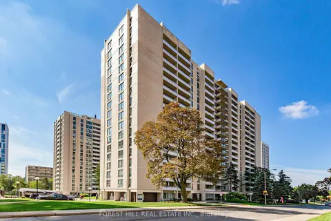 New
$2,349/mo
1 bd1 ba1 pk700-799 ft²
377 Ridelle Avenue 1811
Briar Hill-Belgravia, Toronto
Condo Apartment · MLS® W14094140 · FOREST HILL REAL ESTATE INC.
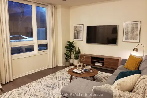
$2,500/mo
Reduced $100
2+1 bd2 ba1 pk800-899 ft²
1100 Briar Hill Avenue 107
Briar Hill-Belgravia, Toronto
Condo Townhouse · MLS® W13716586 · RE/MAX DASH REALTY
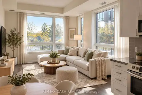 New
$2,600/mo
2 bd1 ba1 pk700-799 ft²
1130 Briar Hill Avenue 206
Briar Hill-Belgravia, Toronto
Condo Townhouse · MLS® W14096478 · RE/MAX DASH REALTY
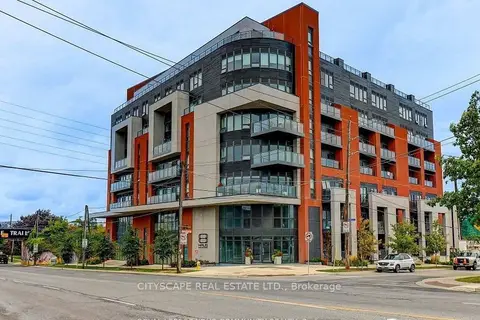
$2,650/mo
2 bd2 ba1 pk800-899 ft²
2433 Dufferin Street 702
Briar Hill-Belgravia, Toronto
Condo Apartment · MLS® W13823880 · CITYSCAPE REAL ESTATE LTD.
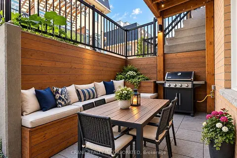
$2,737/mo
2 bd2 ba1 pk900-999 ft²
400 Hopewell Avenue 108
Briar Hill-Belgravia, Toronto
Condo Townhouse · MLS® W13856946 · CRANE REALTY INCORPORATED
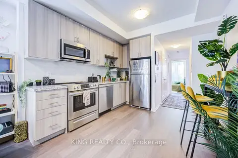
$2,800/mo
2 bd1 ba1 pk700-799 ft²
1120 Briar Hill Avenue 201
Briar Hill-Belgravia, Toronto
Condo Townhouse · MLS® W13869020 · KING REALTY CO.
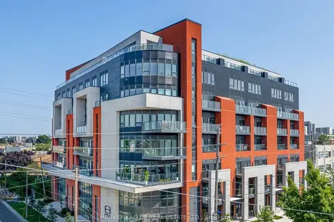
$2,800/mo
2 bd2 ba900-999 ft²
2433 Dufferin Street 510
Briar Hill-Belgravia, Toronto
Condo Apartment · MLS® W13874340 · HARVEY KALLES REAL ESTATE LTD.
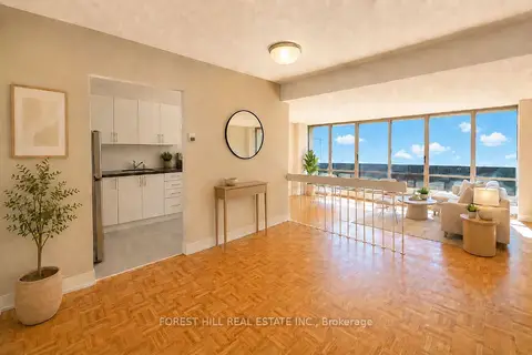
$2,349/mo
2 bd1 ba1 pk900-999 ft²
470 Sentinel Road 514
York University Heights, Toronto
Other · MLS® W13417764 · FOREST HILL REAL ESTATE INC.