137 Sheppard Avenue E
Willowdale East, Toronto, M2N 3A6
$2,489,000
- 2 bathrooms
Listed today · MLS® C14098972
About this home
Freestanding office with 11 parking spaces, steps east of Yonge and Sheppard. This two-storey brick building offers approx. 1,480 sq ft above grade plus a 750 sq ft finished lower level, a rare combination in the heart of North York Centre. Step out into the energy of Yonge and Sheppard: Sheppard-Yonge station (Lines 1 and 4), the offices, shops and restaurants of North York Centre, and Hwy 401 minutes away, with the Willowdale park path and Glendora Park close by. C7 zoning permits a broad range of uses, including professional and medical office, retail, personal service, residential and live/work, making it a compelling option for a practitioner who wants to work and live under one roof. Currently tenanted, with income in place and flexibility for a future owner-occupier. Within the North York Centre Secondary Plan review area, where the draft plan proposes mid-rise heights along Sheppard. Buyer to verify zoning, permitted uses, planning status and measurements.
Details
- Type
- Office
- Age
- 31-50 years
- Lot
- 52.02 × 106.69 ft
- Garage
- Outside/Surface
- Property tax
- $32,048 (2026)
- Neighbourhood
- Willowdale East
- Municipality
- Toronto C14
Interior
- Bathrooms
- 2 × bathroom
Heating, cooling and services
- Heating
- Gas Forced Air Closed
- Air conditioning
- Yes
- Utilities
- Yes
Building and exterior
- Age
- 31-50 years
- Building area
- 1,480 Square Feet
More
- Possession
- 60 days
- Cross street
- Yonge/Sheppard
Location
Location is approximate. See nearby homes on the map
Recent sales nearby
See what similar homes within 1 km sold for in the last year. Create a free account or sign in to see them.
The neighbourhood
Getting around Very walkable
- 🚇 Sheppard-Yonge Subway13 min walk
- 🚇 North York Centre Subway17 min walk
- 🚆 Oriole GO3.0 km
Within a 10-minute walk: 8 grocery stores, 72 cafés and restaurants, 8 parks, 4 pharmacies. Nearest grocery: Ava Esfahan Food Market (150 m). Nearest park: Glendora Park (200 m).
Schools nearby
Elementary
- Avondale Alternative Elementary School
EQAO: Gr 6 reading 88%, math 88%7 min walk - Avondale Public School
EQAO: Gr 6 reading 84%, math 58%7 min walk - Claude Watson School for the Arts
EQAO: Gr 6 reading 100%, math 89%11 min walk - Hollywood Public School
EQAO: Gr 3 reading 94%, math 100%16 min walk
Secondary
- Cardinal Carter Academy for the Arts Catholic · Private
EQAO: Gr 9 math 87%, literacy test 97%11 min walk - Earl Haig Secondary School
EQAO: Gr 9 math 84%, literacy test 95%13 min walk - St. Andrew's Junior High School Catholic1.7 km
EQAO: share of students meeting the provincial standard (2024–25). Ontario average: Gr 6 reading 86%, math 51%; Gr 9 math 55%; literacy test 83%.
Closest schools, not school zones. Check which school serves this address with the school board before relying on it.
Who lives here postal area M2N
- Owners / renters
- 59% / 41%
- Median household income
- $82,000
- Average age
- 41
- Children under 15
- 12%
- Homes
- 17% detached, 70% high-rise
- Commute by transit
- 29%
- Population
- 75,100
Languages spoken most at home besides English: Mandarin 11.7%, Iranian Persian 7.2%, Korean 6.7%, Yue (Cantonese) 5.1%.
Flood and conservation No mapped hazard
Not inside a mapped flood plain or regulated area.
Screening maps only. Ask the conservation authority for a property inquiry before relying on this.
Safety
Major crime per resident in Avondale (2025): 45% below the Toronto average, up 15% from the year before.
- Assault34% below average
- Break and enter43% below average
- Auto theft70% below average
- Robbery61% below average
- Theft from vehicles49% below average
- Shootingsnone reported
Crime Severity Index for Toronto police: 60 vs 57 for Ontario (2025).
Police-reported figures for the whole neighbourhood, not this street. Rates use the area’s resident population.
Development nearby 5 active
-
150 GREENFIELD AVE · 300 mSite Plan · NOAC Issued · applied 2026Site Plan Control Amendment related to 16 163131 NNY 23 SA.Amendment is to insert an additional drawing into the Agreement to allow the City to undertake its…Application details
-
110 SHEPPARD AVE E · 300 mSite Plan · Under Review · applied 2025Site Plan Control Application proposes the development of 49 and 53-storey mixed-use towers above a 5-7-storey mixed use podium providing residential and…Application details
-
110 SHEPPARD AVE E · 300 mOfficial Plan / Zoning By-law Amendment · OMB Appeal · applied 2025OLT SETTLEMENT: A 42-storey ("North Building") and 46-storey ("South Building") mixed-use towers with podium heights of approxmately 22 metres (along Kenneth…Application details
-
24 LEONA DR · 350 mSite Plan · NOAC Issued · applied 2020Site Plan application for the proposal to permit a 8 storey residential building with 58 residential units and total of 49 parking spaces.(inclusive of 5…Application details
-
145 SHEPPARD AVE E · 50 mSite Plan · Under Review · applied 2017Site Plan application to construct an 11 storey mixed use building with at grade retail and an underground parking garage. The proposal includes a total of 55…Application details
-
179 SHEPPARD AVE E · 50 mPlan of Condominium · Closed · applied 2024Draft Plan of Condominum for a 9-storey, 185-unit residential development with commercial use at grade.Application details
Rezoning, site plan, subdivision and condominium applications filed with the city.
Distances are approximate. Places © OpenStreetMap contributors. Neighbourhood figures: Statistics Canada, 2021 Census. School results: EQAO via Ontario Data Catalogue (Open Government Licence – Ontario). Neighbourhood crime: Toronto Police Service Public Safety Data Portal (Open Government Licence – Toronto Police Service). Crime Severity Index: Statistics Canada. Planning applications: City of Toronto open data.
Living here
Commute
To Union Station (downtown Toronto): 13 km. Transit times · Driving times
Noise 1 source nearby
- 🛣️ Highway 401450 m
Distances from the map, not noise measurements. Visit at rush hour to judge for yourself.
What can be built CR
Commercial Residential (with a site-specific exception).
From Toronto’s Zoning By-law 569-2013 map. Lot size, setbacks and trees decide what actually fits; check with a planner before you buy.
Building permits
No building permits at this address since 2014.
11 permits on this block of the street in the last 2 years.
Permits filed with the City of Toronto. A permit doesn’t mean the work passed final inspection.
Trees
19 City street trees within 100 m. That’s fewer than the Toronto average of 42.
Trees on City boulevards only, not private yards or parks.
Internet High-speed
50/10 Mbps or faster available here by cable, fibre or DSL (the federal high-speed target).
From the federal broadband map. Check exact speeds and providers for the address.
Zoning, heritage, building permits and street trees: City of Toronto open data (Open Government Licence – Toronto). Roads, rail, airports and planned stations © OpenStreetMap contributors. Internet: Innovation, Science and Economic Development Canada, National Broadband Data.
Listed by HARVEY KALLES REAL ESTATE LTD..
Listing information provided by PropTx Innovations Inc. and TRREB; deemed reliable but not guaranteed accurate by PropTx.
Similar homes nearby
See more in Toronto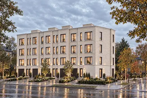
$2,488,000
463 Vaughan Road
Oakwood Village, Toronto
Land · MLS® C14032640 · HARVEY KALLES REAL ESTATE LTD.
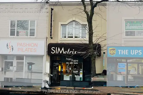
$2,495,000
3221 Yonge Street
Lawrence Park North, Toronto
Commercial Retail · MLS® C12929448 · PROPERTY.CA INC.
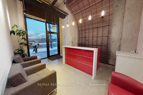
$2,498,000
2 ba
758 Sheppard Avenue W
Bathurst Manor, Toronto
Commercial Retail · MLS® C13557210 · RE/MAX REALTRON REALTY INC.
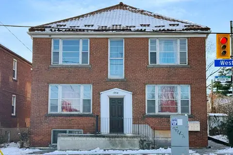
$2,480,000
10 bd6 ba
1264 Weston Road
Mount Dennis, Toronto
Investment · MLS® W12888346 · ROYAL LEPAGE REAL ESTATE SERVICES NANCY SAEDI
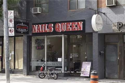
$2,499,000
Reduced $139,000
422 Queen Street W
Kensington-Chinatown, Toronto
Commercial Retail · MLS® C12701700 · HOMELIFE LANDMARK REALTY INC.
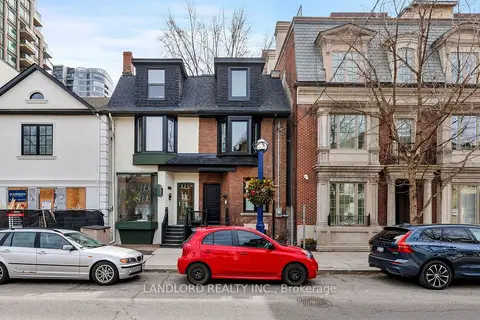
$2,499,000
Reduced $100,000
107A Scollard Street
Annex, Toronto
Commercial Retail · MLS® C13731294 · LANDLORD REALTY INC.
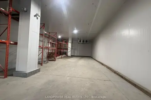
$2,499,000
2 ba
2691 Markham Road 25 & 26
Malvern, Toronto
Industrial · MLS® E13063368 · LANDPOWER REAL ESTATE LTD.
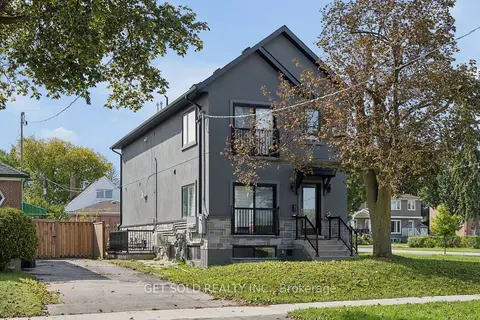
$2,499,000
6 bd2 ba
15 Burrard Road
Elms-Old Rexdale, Toronto
Investment · MLS® W13826704 · GET SOLD REALTY INC.