1277 Caledonia Road 3b
Yorkdale-Glen Park, Toronto, M6A 2X7
$125,000
Listed 27 days ago · MLS® W13818106
About this home
PRIME YORKDALE LOCATION | TURNKEY CAR DETAILING BUSINESS(2000 characters)Excellent opportunity to acquire an established car detailing business just 5 minutes fromYorkdale Mall, in a high-traffic location with strong visibility.The business generates approximately $12,000-$15, 000 in monthly revenue, with reported monthlyprofit of approximately $8,000. The sale includes all equipment, established customer contacts, Google reviews, Instagram account and existing business relationships.The business currently has recurring commercial work, including:. Collision repair company: 17-20 vehicles/month, with additional opportunities for PPF andpaint-related work. Post office: 4-5 vans/week for headlight cleaning. Landscaping company: 4-5 mini-trucks/week for cleaning and detailingThe current lease has approximately 4.5 years remaining, with rent of approximately $4,520/month including taxes. Average total monthly expenses are approximately $5,500.The owner is selling due to a change in country and is willing to provide training andtransition support to the new owner.A turnkey operation with recurring commercial clients, established goodwill and significantroom for growth through stronger marketing and additional contracts.
Details
- Type
- Sale Of Business
- Lot
- 25 × 35 ft
- Garage
- Plaza
- Neighbourhood
- Yorkdale-Glen Park
- Municipality
- Toronto W04
Heating, cooling and services
- Heating
- Gas Forced Air Closed
- Utilities
- Yes
Building and exterior
- Building area
- 900 Square Feet
More
- Possession
- Owner
- Cross street
- Caledonia Rd & Lawrence Ave W
- Business type
- Car Wash
Location
Location is approximate. See nearby homes on the map
Recent sales nearby
See what similar homes within 1 km sold for in the last year. Create a free account or sign in to see them.
The neighbourhood
Getting around Walkable
- 🚇 Yorkdale Subway1.8 km
- 🚇 Wilson Subway2.1 km
- 🚆 Downsview Park GO3.6 km
Within a 10-minute walk: 2 grocery stores, 17 cafés and restaurants, 4 parks. Nearest grocery: Marche Istanbul (950 m). Nearest park: Anthony Road School Park (650 m).
Schools nearby
Elementary
- École élémentaire Mathieu-da-Costa French
EQAO: Gr 6 reading 100%, math 75%11 min walk - Joyce Public School
EQAO: Gr 6 reading 85%, math 31%1.2 km - Ancaster Public School
EQAO: Gr 3 reading 53%, math 41%1.3 km - St. Fidelis Catholic School Catholic
EQAO: Gr 6 reading 86%, math 58%1.4 km
Secondary
- Yorkdale Secondary School12 min walk
- Madonna Catholic Secondary School Catholic
EQAO: Gr 9 math 39%, literacy test 82%17 min walk - Downsview Secondary School
EQAO: Gr 9 math 26%, literacy test 59%1.3 km
EQAO: share of students meeting the provincial standard (2024–25). Ontario average: Gr 6 reading 86%, math 51%; Gr 9 math 55%; literacy test 83%.
Closest schools, not school zones. Check which school serves this address with the school board before relying on it.
Who lives here postal area M6A
- Owners / renters
- 41% / 59%
- Median household income
- $72,500
- Average age
- 40
- Children under 15
- 16%
- Homes
- 16% detached, 34% high-rise
- Commute by transit
- 35%
- Population
- 22,380
Languages spoken most at home besides English: Tagalog (Pilipino, Filipino) 7%, Spanish 2.5%, Portuguese 2.3%, Italian 1.8%.
Flood and conservation No mapped hazard
Not inside a mapped flood plain or regulated area.
Screening maps only. Ask the conservation authority for a property inquiry before relying on this.
Safety
Major crime per resident in Yorkdale-Glen Park (2025): 87% above the Toronto average, about the same from the year before.
- Assault58% above average
- Break and enter80% above average
- Auto theft119% above average
- Robbery87% above average
- Theft from vehicles70% above average
- Shootings249% above average
Crime Severity Index for Toronto police: 60 vs 57 for Ontario (2025).
Police-reported figures for the whole neighbourhood, not this street. Rates use the area’s resident population.
Development nearby 1 active
-
109 CARTWRIGHT AVE · 300 mSite Plan · NOAC Issued · applied 2025Site Plan Control Application proposes a 2-storey addition to an existing private educational institution building (Sterling Hall School) and associated…Application details
-
109 CARTWRIGHT AVE · 300 mOfficial Plan / Zoning By-law Amendment · Closed · applied 2023Application to amend the Zoning By-law to allow a 2-storey addition to an existing private educational institution building (Sterling Hall School) and…Application details
Rezoning, site plan, subdivision and condominium applications filed with the city.
Distances are approximate. Places © OpenStreetMap contributors. Neighbourhood figures: Statistics Canada, 2021 Census. School results: EQAO via Ontario Data Catalogue (Open Government Licence – Ontario). Neighbourhood crime: Toronto Police Service Public Safety Data Portal (Open Government Licence – Toronto Police Service). Crime Severity Index: Statistics Canada. Planning applications: City of Toronto open data.
Living here
Commute
To Union Station (downtown Toronto): 11 km. Transit times · Driving times
Noise 2 sources nearby
- 🛣️ Highway 401400 m
- 🚆 Rail line (Newmarket Subdivision)250 m
Distances from the map, not noise measurements. Visit at rush hour to judge for yourself.
Building permits
- Fire Damage · 2018 · Permit IssuedProposal to replace steel joists and repair to roof deck due to fire damage.
Permits filed with the City of Toronto. A permit doesn’t mean the work passed final inspection.
Trees
49 City street trees within 100 m. That’s about the Toronto average of 42.
Trees on City boulevards only, not private yards or parks.
Internet High-speed
50/10 Mbps or faster available here by cable, fibre or DSL (the federal high-speed target).
From the federal broadband map. Check exact speeds and providers for the address.
Zoning, heritage, building permits and street trees: City of Toronto open data (Open Government Licence – Toronto). Roads, rail, airports and planned stations © OpenStreetMap contributors. Internet: Innovation, Science and Economic Development Canada, National Broadband Data.
Listed by ROYAL LEPAGE SIGNATURE REALTY.
Listing information provided by PropTx Innovations Inc. and TRREB; deemed reliable but not guaranteed accurate by PropTx.
Similar homes nearby
See more in Toronto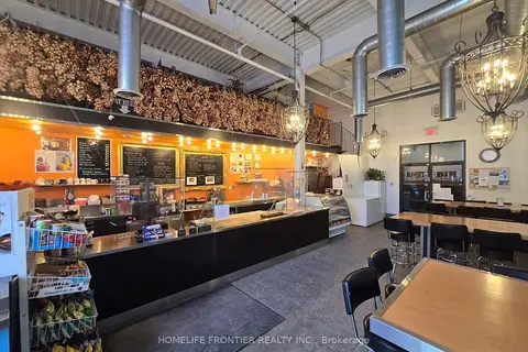
$119,000
63 Wingold Avenue 115
Yorkdale-Glen Park, Toronto
Sale Of Business · MLS® W13138806 · HOMELIFE FRONTIER REALTY INC.
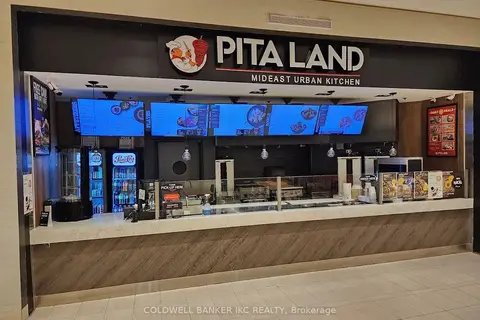
$149,999
700 Lawrence Ave W Avenue
Yorkdale-Glen Park, Toronto
Sale Of Business · MLS® W13856960 · COLDWELL BANKER IKC REALTY
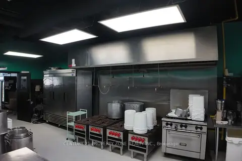
$100,000
3300 Dufferin Street F
Yorkdale-Glen Park, Toronto
Sale Of Business · MLS® W12941294 · CENTURY 21 PROPERTY ZONE REALTY INC.
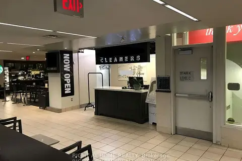
$125,000
14 York Street
Waterfront Communities C1, Toronto
Sale Of Business · MLS® C13667024 · RIGHT AT HOME REALTY
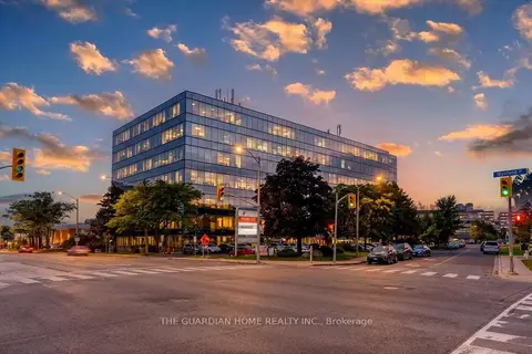
$125,000
18 Wynford Drive 101
Banbury-Don Mills, Toronto
Sale Of Business · MLS® C13755168 · THE GUARDIAN HOME REALTY INC.
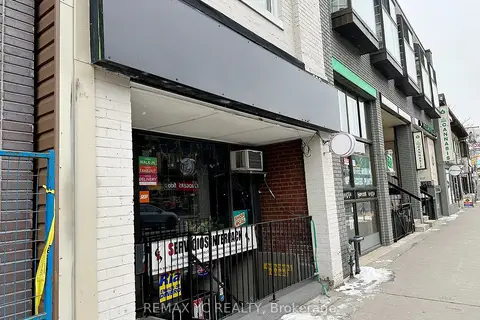
$125,000
599 Bloor Street W
Palmerston-Little Italy, Toronto
Sale Of Business · MLS® C13826240 · REMAX YC REALTY
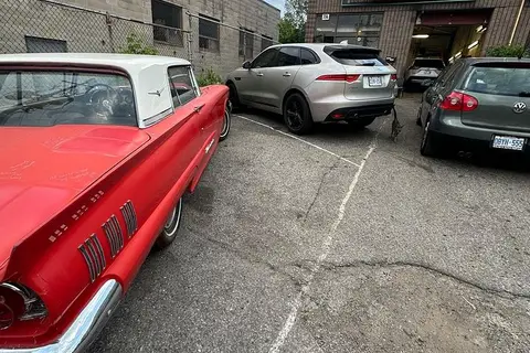
$125,000
2 ba
7A Musgrave Street
East End-Danforth, Toronto
Sale Of Business · MLS® E12860440 · ROYAL LEPAGE CERTIFIED REALTY
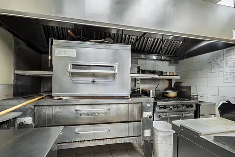
$125,000
3 ba
355 Pitfield Road
Agincourt South-Malvern West, Toronto
Sale Of Business · MLS® E13685102 · EXECUTIVE REAL ESTATE SERVICES LTD.