127 Westmore Drive 102
West Humber-Clairville, Toronto, M9V 3Y6
$4,000/mo
- 1 bathrooms
Listed 61 days ago · MLS® W13693862
About this home
Fully Furnished Vacant Offices Ranging From 100 Sq. Ft To 300 Sq.Ft In Running Health Care Facility With Shared Spacious Waiting Area Complete With Optional Shared Secretarial Services. Good For Professionals, Accountant, Lawyer, Employment Agency. Wheel Chair Accessible Washroom. Neat And Clean.Ground Floor. Street Front Exposure. Busy Commercial Plaza, Steps To Bus Stop. Ample Parking Facility. All Inclusive Of Janitorial And Utilities
Details
- Type
- Office
- Age
- 16-30 years
- Lot
- 20 × 60 ft
- Garage
- Outside/Surface
- Property tax
- $14 (2026)
- Neighbourhood
- West Humber-Clairville
- Municipality
- Toronto W10
Interior
- Bathrooms
- 1 × bathroom
Heating, cooling and services
- Heating
- Gas Forced Air Closed
- Air conditioning
- Yes
- Water and sewer
- Sanitary+Storm
- Utilities
- Available
Building and exterior
- Age
- 16-30 years
- Building area
- 1,000 Square Feet
Rental terms
- Minimum term
- 12 months
More
- Possession
- Immediate
- Cross street
- Finch Ave W And Hwy 27
History of this address
1 earlier listing at this address, with sold and leased prices. Create a free account or sign in to see them.
Location
Location is approximate. See nearby homes on the map
The neighbourhood
Getting around Very walkable
- 🚇 Westmore LRT1 min walk
- 🚇 Humber College LRT9 min walk
- 🚆 Etobicoke North GO4.4 km
Within a 10-minute walk: 6 grocery stores, 29 cafés and restaurants, 4 parks, 4 pharmacies. Nearest grocery: Babel Fine Foods (50 m). Nearest park: Woolenscote Parkette (300 m).
Schools nearby
Elementary
- Melody Village Junior School
EQAO: Gr 6 reading 93%, math 19%9 min walk - Albion Heights Junior Middle School
EQAO: Gr 6 reading 56%, math 11%11 min walk - St. Dorothy Catholic School Catholic
EQAO: Gr 6 reading 77%, math 42%13 min walk - Elmbank Junior Middle Academy Private
EQAO: Gr 6 reading 82%, math 33%14 min walk
Secondary
- Father Henry Carr Catholic Secondary School Catholic
EQAO: Gr 9 math 51%, literacy test 73%10 min walk - West Humber Collegiate Institute
EQAO: Gr 9 math 42%, literacy test 83%1.2 km - Smithfield Middle School1.6 km
EQAO: share of students meeting the provincial standard (2024–25). Ontario average: Gr 6 reading 86%, math 51%; Gr 9 math 55%; literacy test 83%.
Closest schools, not school zones. Check which school serves this address with the school board before relying on it.
Who lives here postal area M9V
- Owners / renters
- 54% / 46%
- Median household income
- $82,000
- Average age
- 39
- Children under 15
- 16%
- Homes
- 28% detached, 40% high-rise
- Commute by transit
- 23%
- Population
- 53,878
Languages spoken most at home besides English: Punjabi (Panjabi) 6.7%, Gujarati 5%, Assyrian Neo-Aramaic 3.6%, Spanish 2.2%.
Flood and conservation No mapped hazard
Not inside a mapped flood plain or regulated area.
Screening maps only. Ask the conservation authority for a property inquiry before relying on this.
Safety
Major crime per resident in West Humber-Clairville (2025): 127% above the Toronto average, down 14% from the year before.
- Assault22% above average
- Break and enter83% above average
- Auto theft486% above average
- Robbery94% above average
- Theft from vehicles158% above average
- Shootings228% above average
Crime Severity Index for Toronto police: 60 vs 57 for Ontario (2025).
Police-reported figures for the whole neighbourhood, not this street. Rates use the area’s resident population.
Development nearby
-
69 WESTMORE DR · 500 mPlan of Condominium · Closed · applied 2022Draft Plan of Condominium Application to convert the existing rental units located within the two existing commercial/industrial buildings into 32 condominium…Application details
Rezoning, site plan, subdivision and condominium applications filed with the city.
Distances are approximate. Places © OpenStreetMap contributors. Neighbourhood figures: Statistics Canada, 2021 Census. School results: EQAO via Ontario Data Catalogue (Open Government Licence – Ontario). Neighbourhood crime: Toronto Police Service Public Safety Data Portal (Open Government Licence – Toronto Police Service). Crime Severity Index: Statistics Canada. Planning applications: City of Toronto open data.
Living here
Commute
To Union Station (downtown Toronto): 20 km. Transit times · Driving times
Noise Nothing major nearby
No highway within 500 m, rail line within 300 m, or airport flight path nearby.
Distances from the map, not noise measurements. Visit at rush hour to judge for yourself.
What can be built E
Employment Industrial (with a site-specific exception).
From Toronto’s Zoning By-law 569-2013 map. Lot size, setbacks and trees decide what actually fits; check with a planner before you buy.
Building permits
- Addition · 2025 · InspectionProposed interior alterations to existing office unit including mezzanine addition.
- Interior Alterations · 2023 · InspectionProposal for interior addition of a second floor within the building envelope and interior alterations to the main floor.
- Interior Alterations · 2023 · Pending CancellationPROPOSED INTERCONNECTION BETWEEN 3 SEPARATE USES IN ONE UNIT. NO PROPOSED CHANGES TO ANY EXISTING INTERIOR & EXTERIOR DOORS AND WINDOWS.…
- Multiple Projects · 2022 · Revision IssuedRevision 01. Proposed platform for natural gas furnance near the staircase as shown in the drawing. Interior alterations to create new…
- Interior Alterations · 2022 · InspectionInterior alterations for a new takeout restaurant in Unit 109
2 permits on this block of the street in the last 2 years.
Permits filed with the City of Toronto. A permit doesn’t mean the work passed final inspection.
Trees
32 City street trees within 100 m, mostly honeys. That’s about the Toronto average of 42.
Trees on City boulevards only, not private yards or parks.
Internet High-speed
50/10 Mbps or faster available here by cable, fibre or DSL (the federal high-speed target).
From the federal broadband map. Check exact speeds and providers for the address.
Zoning, heritage, building permits and street trees: City of Toronto open data (Open Government Licence – Toronto). Roads, rail, airports and planned stations © OpenStreetMap contributors. Internet: Innovation, Science and Economic Development Canada, National Broadband Data.
Listed by DREAM LAND REALTY INC..
Listing information provided by PropTx Innovations Inc. and TRREB; deemed reliable but not guaranteed accurate by PropTx.
Similar homes nearby
See more in Toronto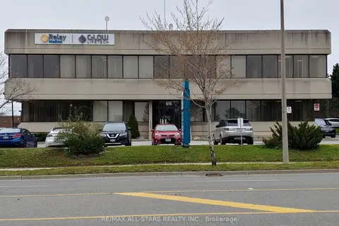
$3,900/mo
65 International Boulevard 101
West Humber-Clairville, Toronto
Office · MLS® W13441826 · RE/MAX ALL-STARS REALTY INC.
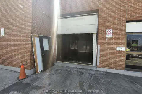
$3,500/mo
1 Steinway Boulevard 13
West Humber-Clairville, Toronto
Industrial · MLS® W13655548 · CENTURY 21 MILLENNIUM INC.
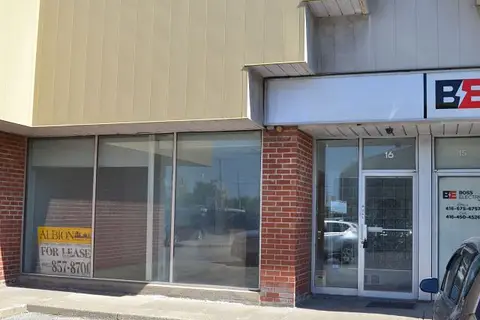
$3,500/mo
2 ba
2001 Albion Road 16
West Humber-Clairville, Toronto
Industrial · MLS® W13811352 · ALBION REALTY INC.
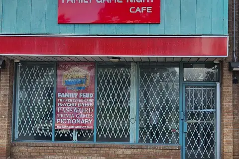
$3,200/mo
6923 Steeles Avenue W 2
West Humber-Clairville, Toronto
Commercial Retail · MLS® W13718948 · RE/MAX PRESIDENT REALTY
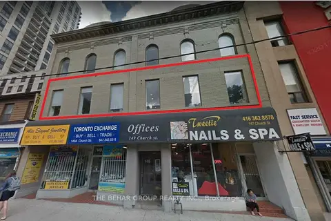
$4,000/mo
149 Church Street 201
Church-Yonge Corridor, Toronto
Office · MLS® C11956144 · THE BEHAR GROUP REALTY INC.
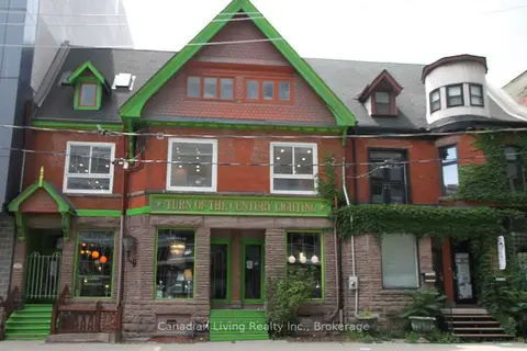
$4,000/mo
112 (Basement) Sherbourne Street
Waterfront Communities C1, Toronto
Commercial Retail · MLS® C12312971 · Canadian Living Realty Inc.
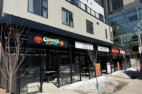
$4,000/mo
Reduced $2,900
364 Huron Street
University, Toronto
Commercial Retail · MLS® C12847092 · BAY STREET GROUP INC.
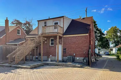
$4,000/mo
2 ba
93 Finch Avenue E
Willowdale East, Toronto
Office · MLS® C13604478 · NEW CONCEPT PLUS REALTY INC.