1168 Mona Road
Mineola, Mississauga, L5G 2Z7
$1,588,800
- 0 bedrooms
- 0 bathrooms
Listed 49 days ago · MLS® W13734294
About this home
Exceptional 400 ft deep building lot, nestled in the heart of highly sought-after Mineola West, backing onto the picturesque Kenollie Creek. This rare opportunity offers the perfect canvas to create your dream home, complete with a private resort-style backyard oasis, surrounded by majestic mature trees. Enjoy the convenience of being within walking distance to trendy Port Credit, the GO station, shopping, the scenic waterside trail, and renowned Kenollie Public School and Mentor College. Build your custom luxury dream home!
Details
- Type
- Vacant Land
- Lot
- 50 × 400 ft
- Kitchens
- 0
- Property tax
- $13,337 (2025)
- Neighbourhood
- Mineola
- Municipality
- Mississauga
Heating, cooling and services
- Water and sewer
- Sewer
Building and exterior
- Faces
- West
Lot
- Size
- 50 × 400 ft
- Acreage
- < .50
More
- Possession
- Flexible
- Cross street
- Inglewood Dr/Mona Rd
History of this address
6 earlier listings at this address, with sold and leased prices. Create a free account or sign in to see them.
Location
Location is approximate. See nearby homes on the map
Recent sales nearby
See what similar homes within 1 km sold for in the last year. Create a free account or sign in to see them.
The neighbourhood
Getting around Very walkable
- 🚆 Port Credit GO3 min walk
Within a 10-minute walk: 3 grocery stores, 36 cafés and restaurants, 4 parks, 6 pharmacies. Nearest grocery: Cousin's Market (500 m). Nearest park: Port Credit Memorial Park (450 m).
Schools nearby
Elementary
- Forest Avenue Public School
EQAO: Gr 6 reading 80%, math 40%9 min walk - Riverside Public School
EQAO: Gr 6 reading 61%, math 22%10 min walk - Kenollie Public School
EQAO: Gr 6 reading 94%, math 59%10 min walk - Mineola Public School
EQAO: Gr 6 reading 93%, math 63%13 min walk
Secondary
- Port Credit Secondary School
EQAO: Gr 9 math 70%, literacy test 91%12 min walk - Queen Elizabeth Senior Public School1.5 km
EQAO: share of students meeting the provincial standard (2024–25). Ontario average: Gr 6 reading 86%, math 51%; Gr 9 math 55%; literacy test 83%.
Closest schools, not school zones. Check which school serves this address with the school board before relying on it.
Who lives here postal area L5G
- Owners / renters
- 57% / 43%
- Median household income
- $95,000
- Average age
- 44
- Children under 15
- 14%
- Homes
- 43% detached, 38% high-rise
- Commute by transit
- 11%
- Population
- 20,714
Languages spoken most at home besides English: Polish 2%, Mandarin 1.3%, Spanish 1%, Russian 0.7%.
Flood and conservation No mapped hazard
Not inside a mapped flood plain or regulated area in Credit Valley Conservation’s mapping.
Screening maps only. Ask the conservation authority for a property inquiry before relying on this.
Safety
Crime Severity Index for Peel Region (Mississauga/Brampton) police: 59 vs 57 for Ontario (2025).
Police-reported figures for the whole police service area, not this street. Rates use the area’s resident population.
Development nearby 5 active
-
50 High Street East · 400 mDevelopment application · Application in Process · applied 2026Residential apartment building (96 homes)
-
1148 Mona Rd · 50 mDevelopment application · In process · applied 2025Holding removal (10 homes)
-
46 Park Street East · 250 mDevelopment application · In process · applied 2025Revised site plan for 30 stories and 315 units (previously 35 tower residential building, 444 units) (444 homes)
-
19 Ann Street · 450 mDevelopment application · In process · applied 2025Residential apartment building with retail uses (362 homes)
-
88 Park Street East · 350 mDevelopment application · In process · applied 2025Site plan for two 21 mixed use towers (819 homes)
Rezoning, site plan, subdivision and condominium applications filed with the city.
Distances are approximate. Places © OpenStreetMap contributors. Neighbourhood figures: Statistics Canada, 2021 Census. School results: EQAO via Ontario Data Catalogue (Open Government Licence – Ontario). Flood and regulation mapping: Credit Valley Conservation open data. Crime Severity Index: Statistics Canada. Planning applications: City of Mississauga open data.
Living here
Commute
To Union Station (downtown Toronto): 20 km. Transit times · Driving times
Coming transit
- 🚧 Port Credit Hazel McCallion LRT400 m · opening about 2029
- 🚧 Mineola Hazel McCallion LRT700 m · opening about 2029
- 🚧 North Service Hazel McCallion LRT1.8 km · opening about 2029
Stations under construction or approved. Opening dates are the latest public estimates and often move.
Noise 1 source nearby
- 🚆 Rail line (Oakville Subdivision)150 m
Distances from the map, not noise measurements. Visit at rush hour to judge for yourself.
Internet High-speed
50/10 Mbps or faster available here by cable, fibre or DSL (the federal high-speed target).
From the federal broadband map. Check exact speeds and providers for the address.
Short-term rentals
Only in your principal residence, with a City licence: not allowed in investment properties. Up to 180 nights a year, no more than 30 in a row.
Roads, rail, airports and planned stations © OpenStreetMap contributors. Internet: Innovation, Science and Economic Development Canada, National Broadband Data.
Listed by HODGINS REALTY GROUP INC..
Listing information provided by PropTx Innovations Inc. and TRREB; deemed reliable but not guaranteed accurate by PropTx.
Similar homes nearby
See more in Mississauga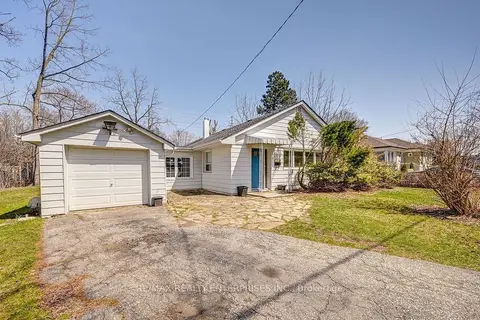
$1,598,800
3 bd2 ba4 pk1100-1500 ft²
1235 Old River Road
Mineola, Mississauga
Detached · MLS® W13706870 · RE/MAX REALTY ENTERPRISES INC.
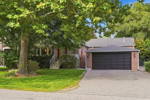
$1,545,000
3+1 bd3 ba8 pk1100-1500 ft²
1511 Leda Avenue
Mineola, Mississauga
Detached · MLS® W13868636 · Royal Lepage Real Estate Associates, Larose Team
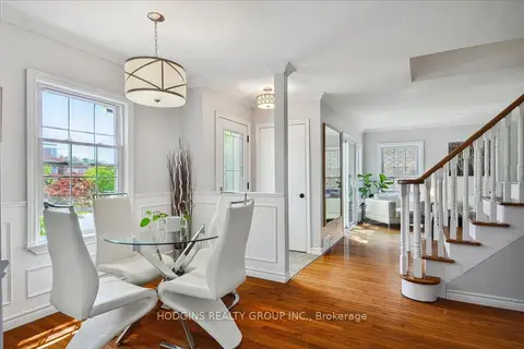
$1,699,000
4+1 bd3 ba4 pk1500-2000 ft²
65 Mineola Road E
Mineola, Mississauga
Detached · MLS® W13588916 · HODGINS REALTY GROUP INC.
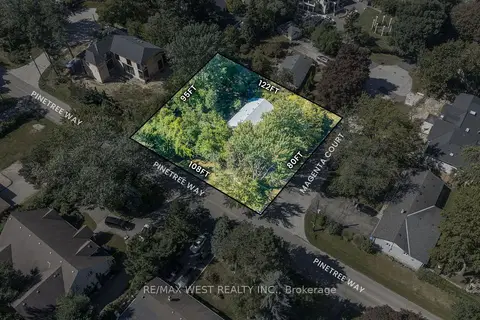
$1,450,000
3 bd1 ba8 pk1100-1500 ft²
1610 Magenta Court
Mineola, Mississauga
Detached · MLS® W13823616 · RE/MAX WEST REALTY INC.
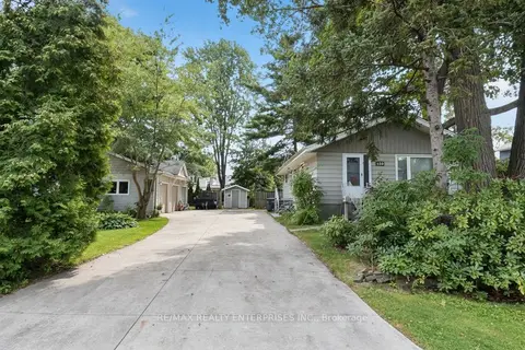
$1,799,000
Reduced $100,000
3+1 bd2 ba13 pk700-1100 ft²
120 Eaglewood Boulevard
Mineola, Mississauga
Detached · MLS® W13712238 · RE/MAX REALTY ENTERPRISES INC.
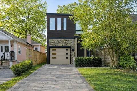
$1,849,800
3+1 bd4 ba3 pk2000-2500 ft²
63 Troy Street
Mineola, Mississauga
Detached · MLS® W13718160 · Royal LePage Real Estate Associates
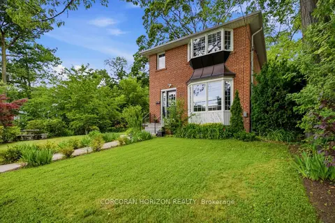
$1,299,999
3+1 bd3 ba9 pk1100-1500 ft²
77 Mineola Road E
Mineola, Mississauga
Detached · MLS® W14030748 · CORCORAN HORIZON REALTY
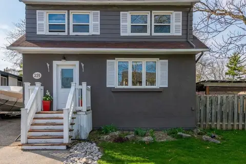
$1,299,990
3+2 bd3 ba6 pk1500-2000 ft²
219 Angelene Street
Mineola, Mississauga
Detached · MLS® W13503136 · ROYAL LEPAGE SIGNATURE REALTY