1033 Bay Street 320 A
Bay Street Corridor, Toronto, M5S 3A5
$1,250/mo
Listed 84 days ago · MLS® C13614892
About this home
Excellent opportunity to lease a Shared office space of approximately 180 sq. ft. in a prestigious Bay Street commercial condominium. This bright, professional workspace features large windows with unobstructed Bay Street views and is ideal for professionals such as real estate agents, lawyers, accountants, consultants, wealth advisors, medical, dental, or wellness practitioners.Located in one of Toronto's most sought-after business districts, the building is just steps from Yorkville, the University of Toronto, premium shopping and dining, and three subway stations, offering exceptional convenience for both clients and staff.Tenants also enjoy access to premium building amenities, including modern conference and meeting rooms, event space, fitness centre, pool, sauna, hot tub, billiards room, a two-level terrace with BBQs, and 24/7 concierge and security. Underground parking is available separately.A turnkey workspace in a prime location, perfect for professionals seeking a prestigious business address without leasing an entire office suite.
Details
- Type
- Office
- Garage
- Underground
- Property tax
- $30 (2025)
- Neighbourhood
- Bay Street Corridor
- Municipality
- Toronto C01
Heating, cooling and services
- Heating
- Gas Forced Air Open
- Air conditioning
- Yes
- Utilities
- Yes
Building and exterior
- Building area
- 589 Square Feet
Rental terms
- Minimum term
- 12 months
More
- Possession
- immediate
- Cross street
- Bay St/Wellesley St W
Location
Location is approximate. See nearby homes on the map
The neighbourhood
Getting around Very walkable
- 🚇 Wellesley Subway5 min walk
- 🚇 Museum Subway7 min walk
- 🚆 Toronto Union Station GO2.5 km
Within a 10-minute walk: 18 grocery stores, 314 cafés and restaurants, 34 parks, 27 pharmacies. Nearest grocery: Rabba (250 m). Nearest park: Clover Hill Park (50 m).
Schools nearby
Elementary
- Church Street Junior Public School
EQAO: Gr 6 reading 84%, math 45%12 min walk - Jesse Ketchum Junior and Senior Public School
EQAO: Gr 6 reading 96%, math 71%13 min walk - Orde Street Public School
EQAO: Gr 6 reading 89%, math 64%14 min walk
Secondary
- St. Joseph's College School Catholic
EQAO: Gr 9 math 66%, literacy test 87%3 min walk - Native Learning Centre11 min walk
- Jarvis Collegiate Institute
EQAO: Gr 9 math 34%, literacy test 80%14 min walk
EQAO: share of students meeting the provincial standard (2024–25). Ontario average: Gr 6 reading 86%, math 51%; Gr 9 math 55%; literacy test 83%.
Closest schools, not school zones. Check which school serves this address with the school board before relying on it.
Who lives here postal area M5S
- Owners / renters
- 36% / 64%
- Median household income
- $70,000
- Average age
- 40
- Children under 15
- 6%
- Homes
- 1% detached, 72% high-rise
- Commute by transit
- 24%
- Population
- 17,074
Languages spoken most at home besides English: Mandarin 8.4%, Yue (Cantonese) 2%, Korean 1.7%, Portuguese 1.1%.
Flood and conservation No mapped hazard
Not inside a mapped flood plain or regulated area.
Screening maps only. Ask the conservation authority for a property inquiry before relying on this.
Safety
Major crime per resident in Bay-Cloverhill (2025): about the Toronto average, up 6% from the year before.
- Assault22% below average
- Break and enter51% above average
- Auto theft93% below average
- Robberyabout average
- Theft from vehicles31% below average
- Shootingsnone reported
Crime Severity Index for Toronto police: 60 vs 57 for Ontario (2025).
Police-reported figures for the whole neighbourhood, not this street. Rates use the area’s resident population.
Development nearby 39 active
-
55 ISABELLA ST · 400 mOfficial Plan / Zoning By-law Amendment · Under Review · applied 2026The application proposes to amend the Zoning By-law to permit a 75-storey mixed-use building (250.5 metres including mechanical penthouse) containing 92 square…Application details
-
1075 BAY ST · 100 mOfficial Plan / Zoning By-law Amendment · Council Approved · applied 2025Official Plan & Zoning By-law Amendment to not replace the required office space and instead permit a minimum 1,815 m2 of non-residential space and/or…Application details
-
48 ISABELLA ST · 400 mOfficial Plan / Zoning By-law Amendment · Under Review · applied 2025Combined Official Plan & Zoning By-law Amendment for a 69-storey residential apartment building and will contain a total of 814 dwelling units, including 84…Application details
-
555 YONGE ST · 300 mSite Plan · Under Review · applied 2025Site Plan Approval for a 68 storey mixed-use building. There will be 679 dwelling unit and 45,139 square meters of GFA, including 455 square meters of retail…Application details
-
550 YONGE ST · 300 mSite Plan · Under Review · applied 2024Site Plan application for a proposed 67-storey residential/mixed-use building comprised of approximately 52,086 square metres of gross floor area (GFA),…Application details
-
572 A CHURCH ST · 500 mSite Plan · Under Review · applied 2024Site Plan Approval for a 12-storey mixed-use building with retail space on the ground floor and 115 rental dwelling units.Application details
49 more within 500 m.
Rezoning, site plan, subdivision and condominium applications filed with the city.
Distances are approximate. Places © OpenStreetMap contributors. Neighbourhood figures: Statistics Canada, 2021 Census. School results: EQAO via Ontario Data Catalogue (Open Government Licence – Ontario). Neighbourhood crime: Toronto Police Service Public Safety Data Portal (Open Government Licence – Toronto Police Service). Crime Severity Index: Statistics Canada. Planning applications: City of Toronto open data.
Living here
Commute
To Union Station (downtown Toronto): 2 km. Transit times · Driving times
Coming transit
- 🚧 Queen 1.7 km
- 🚧 Osgoode 1.7 km
- 🚧 Moss Park 1.9 km
Stations under construction or approved. Opening dates are the latest public estimates and often move.
Noise Nothing major nearby
No highway within 500 m, rail line within 300 m, or airport flight path nearby.
Distances from the map, not noise measurements. Visit at rush hour to judge for yourself.
What can be built CR
Commercial Residential (with a site-specific exception).
From Toronto’s Zoning By-law 569-2013 map. Lot size, setbacks and trees decide what actually fits; check with a planner before you buy.
Building permits
- Interior Alterations · 2025 · ClosedProposal to add heat release ventilation system for electrical oven. Also adding some plumbing fixture such as glass washer and ice machine
- Interior Alterations · 2025 · CancelledProposal to perform interior alterations to restaurant.
- Interior Alterations · 2023 · ClosedProposal for interior alterations to an existing vacant restaurant unit #1 located on the ground floor level for a new restaurant tenant -…
- Interior Alterations · 2023 · Permit IssuedProposal for interior alterations to return an existing restaurant unit #1 located on the ground floor level to base building conditions in…
- Interior Alterations · 2022 · ClosedProposed interior alterations for a new spa.
1 permit on this block of the street in the last 2 years.
Permits filed with the City of Toronto. A permit doesn’t mean the work passed final inspection.
Trees
65 City street trees within 100 m, mostly honeys. That’s more than the Toronto average of 42.
Trees on City boulevards only, not private yards or parks.
Internet High-speed
50/10 Mbps or faster available here by cable, fibre or DSL (the federal high-speed target).
From the federal broadband map. Check exact speeds and providers for the address.
Zoning, heritage, building permits and street trees: City of Toronto open data (Open Government Licence – Toronto). Roads, rail, airports and planned stations © OpenStreetMap contributors. Internet: Innovation, Science and Economic Development Canada, National Broadband Data.
Listed by RE/MAX METROPOLIS REALTY.
Listing information provided by PropTx Innovations Inc. and TRREB; deemed reliable but not guaranteed accurate by PropTx.
Similar homes nearby
See more in Toronto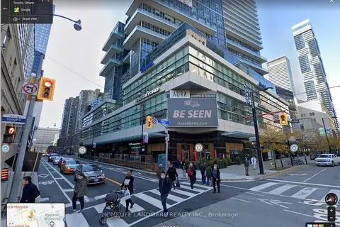
$1,280/mo
384 Yonge Street 118
Bay Street Corridor, Toronto
Commercial Retail · MLS® C12068773 · HOMELIFE LANDMARK REALTY INC.

$1,300/mo
384 Yonge Street 98
Bay Street Corridor, Toronto
Commercial Retail · MLS® C12689028 · ROYAL LEPAGE SIGNATURE REALTY
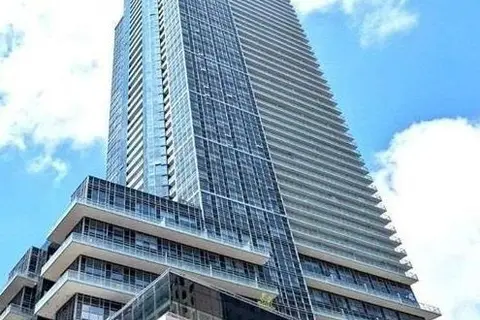
$1,200/mo
Reduced $200
384 Yonge Street 37
Bay Street Corridor, Toronto
Commercial Retail · MLS® C13465372 · REMAX YOUR COMMUNITY REALTY
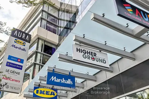
$1,300/mo
384 Yonge Street 93
Bay Street Corridor, Toronto
Commercial Retail · MLS® C13653542 · RE/MAX REALTRON REALTY INC.
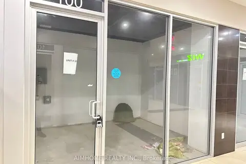
$1,000/mo
384 Yonge Street 100
Bay Street Corridor, Toronto
Commercial Retail · MLS® C12713474 · AIMHOME REALTY INC.
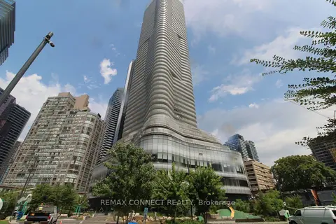
$1,000/mo
15 Wellesley Street W # 324
Bay Street Corridor, Toronto
Office · MLS® C13035230 · REMAX CONNECT REALTY
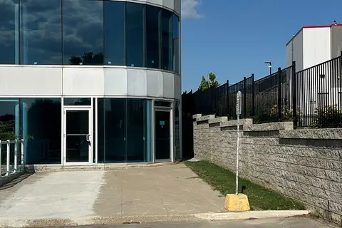
$1,250/mo
105 Gordon Baker Road 104
Hillcrest Village, Toronto
Commercial Retail · MLS® C13747864 · RE/MAX REALTY SERVICES INC.
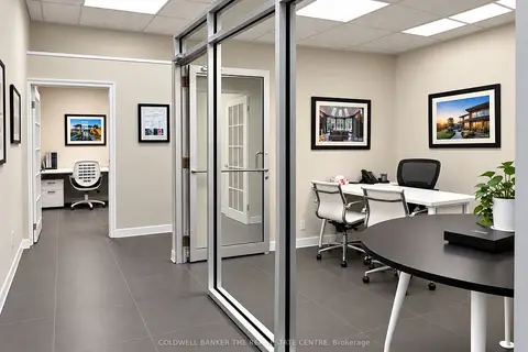
$1,250/mo
2 ba
3485 Kingston Road B
Scarborough Village, Toronto
Office · MLS® E13820432 · COLDWELL BANKER THE REAL ESTATE CENTRE